Pete's Walks - Circular walk from Ewelme (page 1 of 5)
If you are considering walking this route yourself, please see my disclaimer. You may also like to see these notes about the maps and GPX files.
Google map of the walkDownload GPX file of the walk
I did this 15 mile circular walk on Saturday, 7th January 2012. It was a repeat of a walk I did last April, but in the opposite (clockwise) direction and with a very slight variation - I have marked this variation as Alternative 2 on the map, and have also marked another possible shortcut as Alternative 1 (I've not actually walked that shortcut myself yet, but have seen other people do it and it is a simple walk alongside a fence).
I parked in the small car park by the playing fields (by the lane junction in the southeast of the village, grid reference SU 648912) - it was almost full, a largish group of walkers was gathering. I started walking at about 9.55am, going up the lane to the church (Parsons Lane) and taking a path on the right opposite the churchyard. This path began on a driveway then went up a bank on the right, continuing for a little way between fences. It then ran through a field of pigs, with short (presumably electrified) fences either side. On the far side of this field I turned right onto a pubic byway. I soon saw my first Red Kites of the day, flying low over the field on my right.
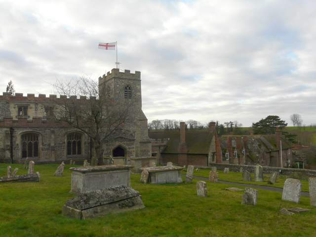
Ewelme church, with the almshouses beyond
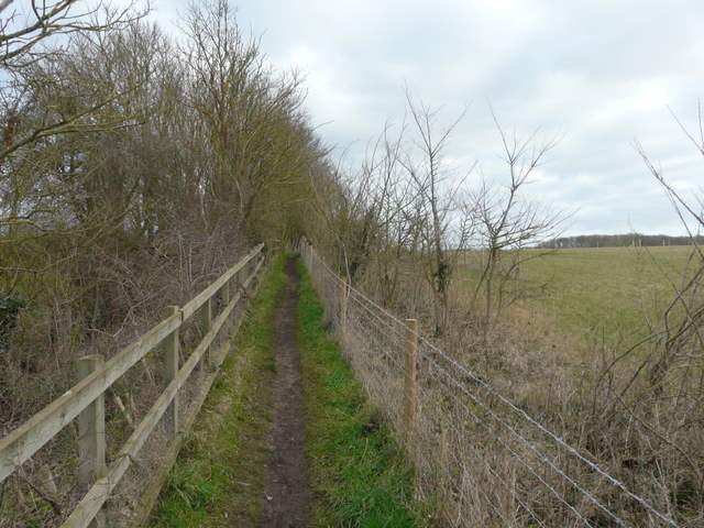
Near the start of the path going northeast from Ewelme
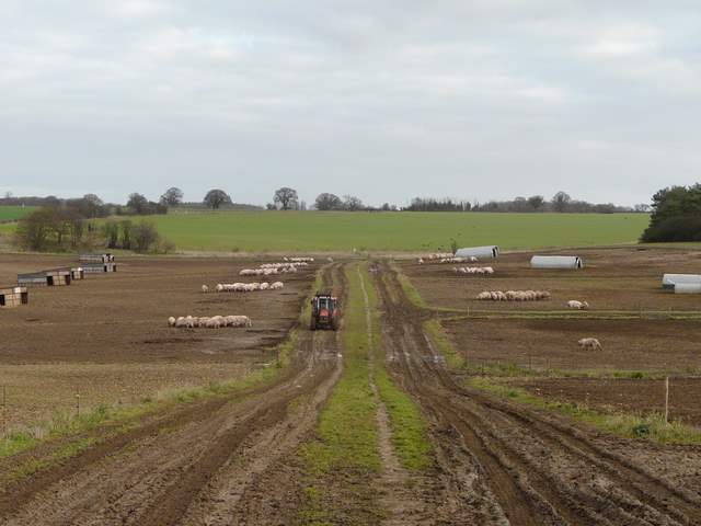
The path from Ewelme, crossing the pig field
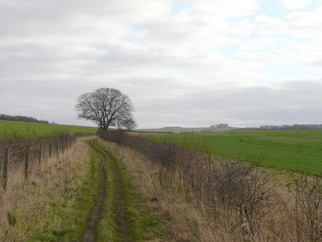
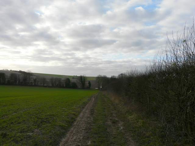
The public byway, heading east towards Swyncombe Downs
After the first field on the right, the byway became a farm track and it was noticeable that the soil here was quite sandy. The track led on between arable fields to a property called Huntingland, then continued on to reach the foot of the wooded western slopes of Swyncombe Downs. Here I went right for a few yards to reach a lane, where I again turned 'right' (straight on really). Just a short way down the lane I turned left, onto a bridleway heading south - the large group of walkers from the car park were now ahead of me and so were a group of horse riders, but they must all have turned off at the next junction as I didn't see them beyond that. The bridleway was now a broad muddy track, with no fences or hedges separating it from the large arable fields either side.
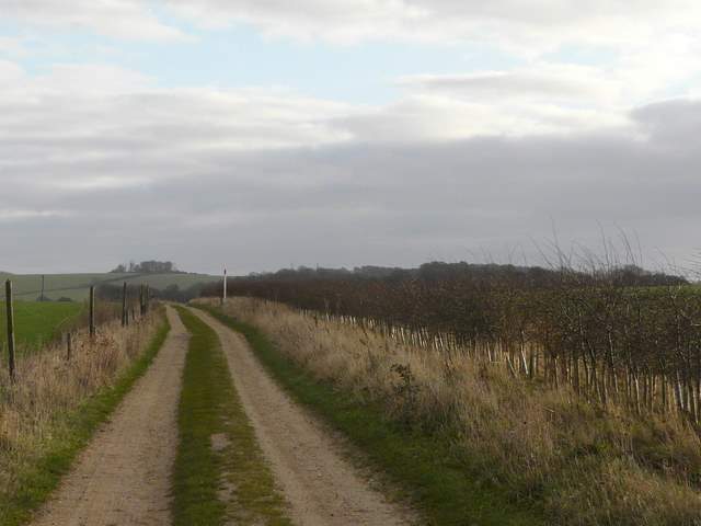
The public byway, heading east towards Swyncombe Downs

Approaching Huntingland, with the wooded slopes of Swyncombe Downs beyond
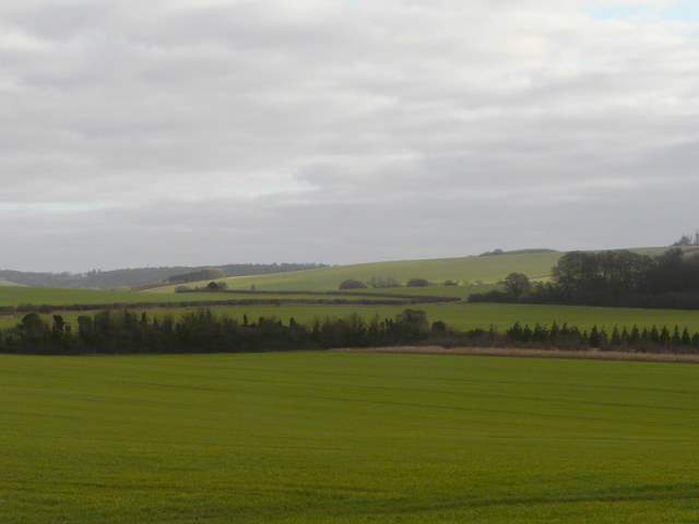
Looking northeast from near Huntingland
The byway approaching the foot of Swyncombe Downs

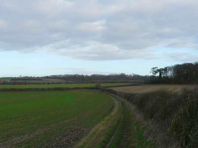
The bridleway south from the western tip of Swyncombe Downs
Looking back along the bridleway south from the western tip of Swyncombe Downs
The bridleway south from the western tip of Swyncombe Downs
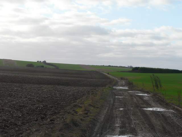
The bridleway south from the western tip of Swyncombe Downs
When the bridleway reached the bottom of a small valley, I turned left at a bridleway crossroads. Unsurprisingly this new bridleway was also fairly muddy, but it was pleasant following the valley bottom with Red Kites and a Buzzard in the skies over the field on my left. After a while the bridleway started to climb steadily uphill towards Ewelme Park - I had walked up here once before in similarly muddy conditions and remembered it as a bit of a slog, but the gradient was easier than I recalled and it wasn't too bad at all. There were nice views looking back, out to the Oxfordshire Plain.

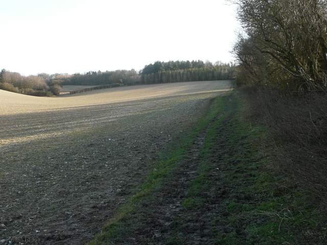
The bridleway south from the western tip of Swyncombe Downs - I turned left where the hedgerow begins

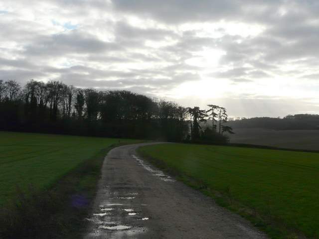
Start of the bridleway going southeast to Ewelme Park
The bridleway going southeast to Ewelme Park