Pete's Walks - Kensworth and Ivinghoe Beacon (page 3 of 4)
I went through a new gate (they seem to be replacing stiles everywhere) on top of the hill, with Incombe Hole ahead of me, and turned right. I varied slightly from the route shown on my Google map by taking a path going further left than the Ridgeway path - it has the advantage of keeping in the open rather than go through an area of small trees, and so I had longer to enjoy the views over the Vale of Aylesbury. It soon rejoined the Ridgeway path at a gate, and continued on to reach a road at a hairpin bend. Safely across this I turned left to climb up the first of two 'humps', this one surmounted by an a tumulus (ancient burial mound). The second 'hump', noticeable from afar, is almost non-existent close-up, and then the steep climb up to the top of Ivinghoe Beacon seemed to be over quicker and easier than usual.
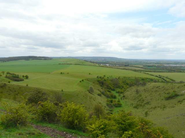
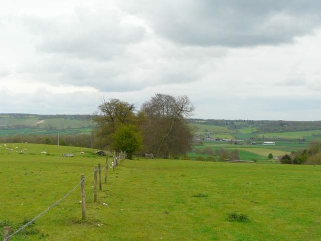
Incombe Hole and Pitstone Hill
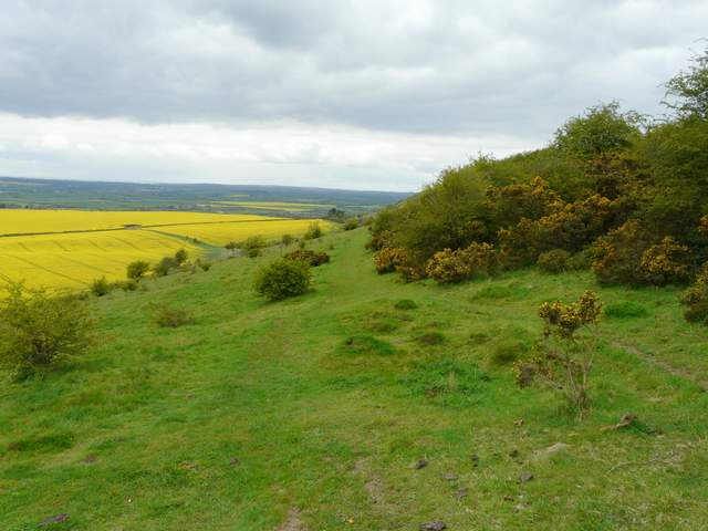
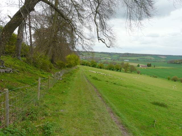
The path over Steps Hill (I took this path which is a little left of the Ridgeway, the route shown on my Google map)
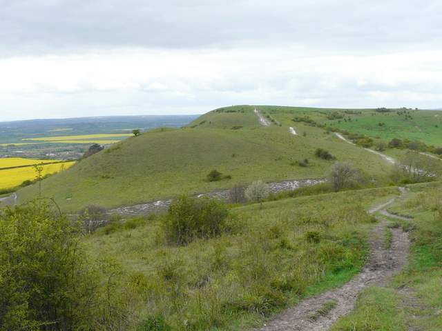
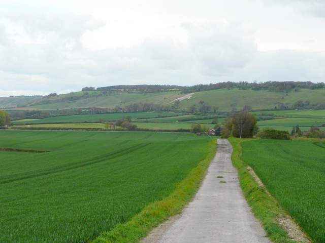
Ivinghoe Beacon from the path from Steps Hill
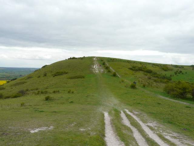
Approaching Ivinghoe Beacon
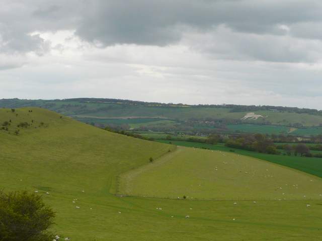
Looking towards the Dunstable and Whipsnade Downs (the White Lion is at Whipsnade Zoo)
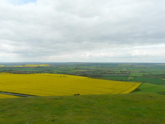
The Vale of Aylesbury from Ivinghoe Beacon
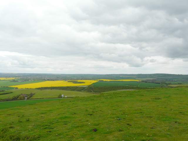
The Vale of Aylesbury from Ivinghoe Beacon
Again I deviated slightly from the route shown on my Google map, not bothering to go towards Gallows Hill but just turning back the way I'd come up the Beacon, but keeping just left of the 'humps' and then taking the Icknield Way as it went left along a fence line. I went through a gate and followed a path curving slightly right towards a wood, with a few Belted Galloway cattle grazing on the slope up to my right. I stopped for lunch on a log just before the wood, then carried on along the path through the wood. There is a rather 'spooky' section of conifers in the middle of the wood, and a little beyond that a steep flight of wooden stairs with a railing leads uphill towards Ward's Hurst Farm. This section of the wood was carpeted with Wild Garlic or Ramsons, though little of it was yet in flower - I was pleasantly surprised, as a few years ago there were only one or two such plants here.
The Icknield Way, leaving Ivinghoe Beacon eastwards
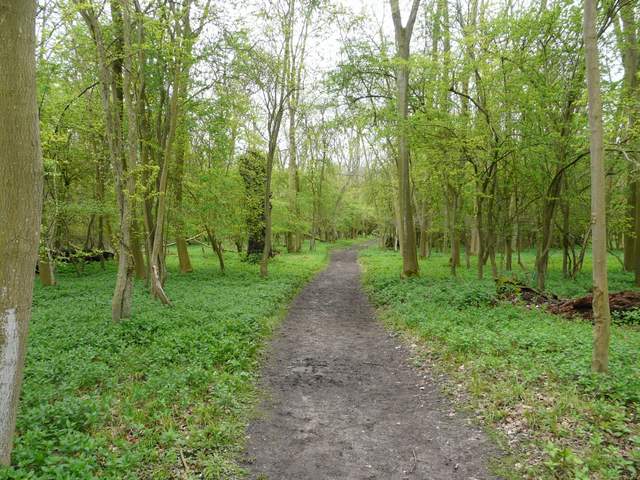
The wood on the way to Ward's Hurst Farm
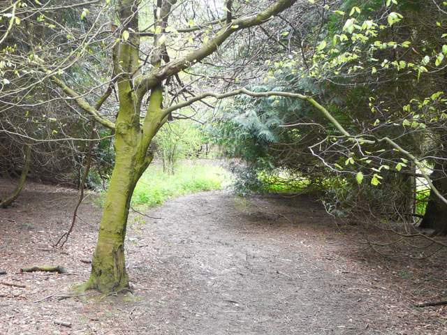
Not a great photo, part of the 'spooky' section of conifers in the wood
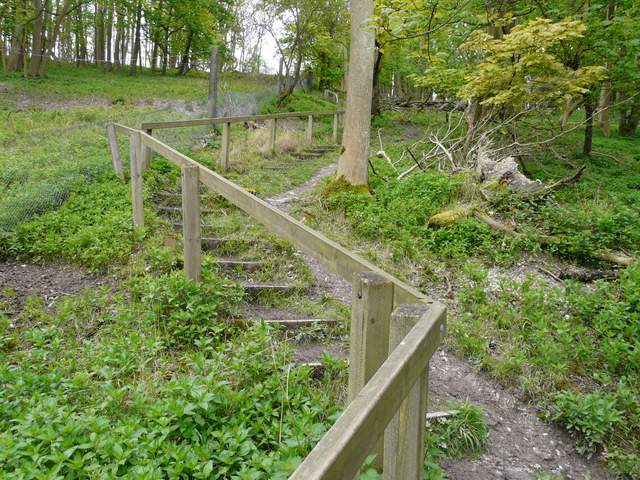
The steps climbing up through the wood to Ward's Hurst Farm
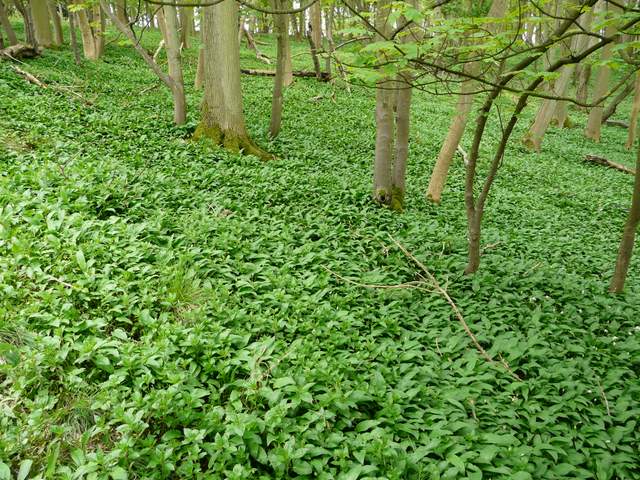
A mass of Wild Garlic (not yet in flower) beside the steps
On reaching Ward's Hurst Farm (no less than six paths converge here), I turned left and followed a path through a sheep pasture The path continued on steadily downhill with a wooded embankment on my left with several beech trees and a few primroses. There was a fine view ahead of me over Dagnall (which, incidentally, is where the three counties of Bedfordshire, Buckinghamshire and Hertfordshire meet). The path ran a short distance round the edge of a field to reach the drive to a residence called Hog Hall. I followed the drive gently downhill, with views ahead now towards the Dunstable and Whipsnade Downs.
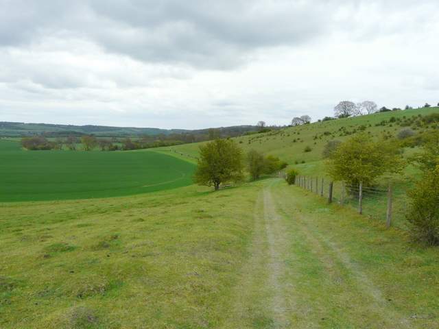
Start of the path from Ward's Hurst Farm to Dagnall
The path from Ward's Hurst Farm to Dagnall
The drive from Hog Hall, looking towards Whipsnade Zoo, with Dunstable Downs to the left of the photo