Pete's Walks - Maidensgrove and Rotherfield Peppard (page 1 of 5)
If you are considering walking this route yourself, please see my disclaimer. You may also like to see these notes about the maps and GPX files.
Google map of the walkDownload GPX file of the walk
I did this 14 mile circular walk on Saturday, 12th May 2012. It was a new route for me, with roughly a third of it on paths I'd not walked before, a third on paths I'd not walked for some years and a third on slightly more familiar paths.
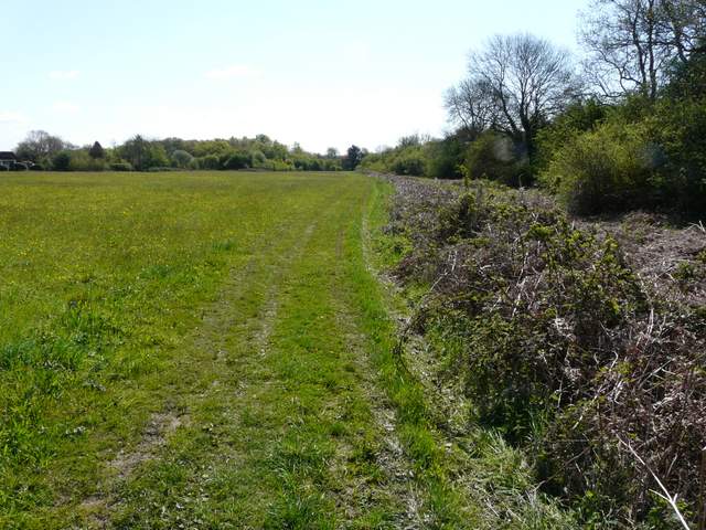
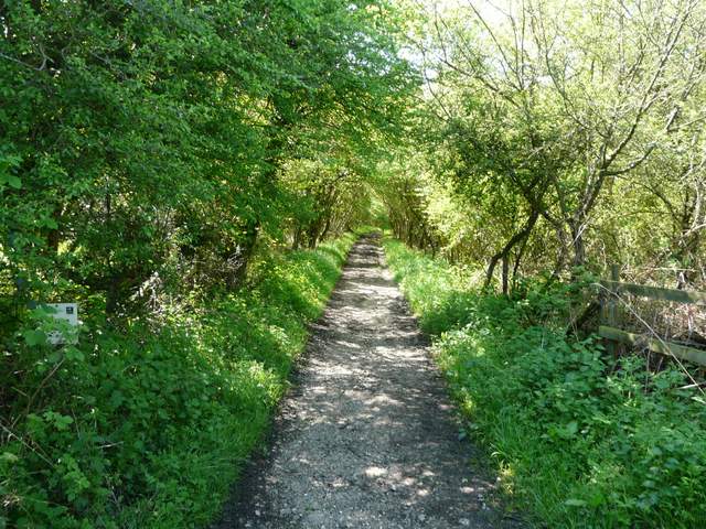
I parked by a corner of the lane that crosses Maidensgrove Common, and started walking just before 10.15am. At last I had a really beautiful day for walking, with blue skies and a reasonable temperature. I followed the southern edge of the common back to part of Maidensgrove, then turned right along a lane towards Lodge Farm. Just before the farm, I turned right again, following a clear track just inside the edge of Maidensgrove Scrubs, a wood which sloped down on my right to the Warburg Nature Reserve. After almost half a mile I came to a fork, where I kept right, still on a good track which now started to descend through Freedom Wood.
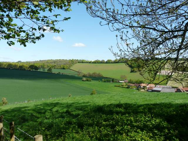
The path along the edge of Maidensgrove Common, leading to part of Maidensgrove
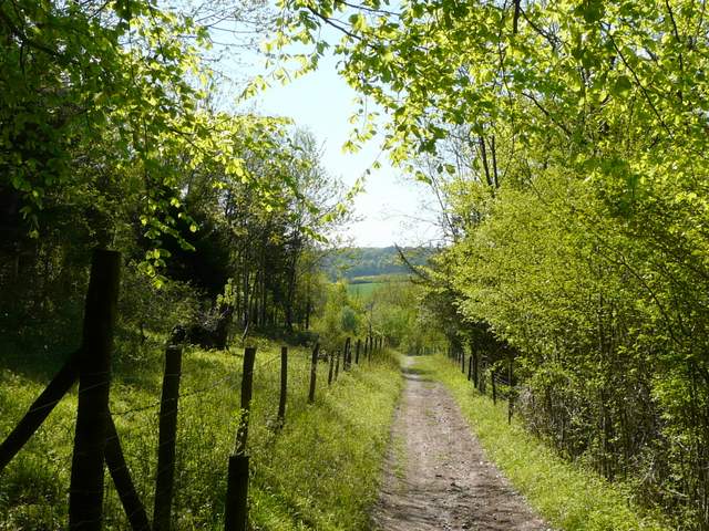
The start of the bridleway from near Lodge Farm, Maidensgrove, going south past Maidensgrove Scrubs
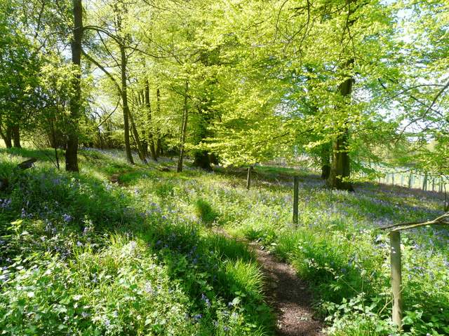
Further along the same bridleway
The bridleway fork on the edge of Freedom Wood, where I took the right fork
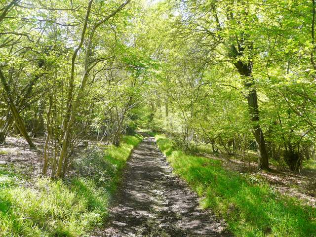
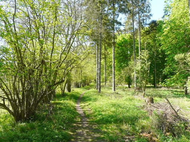
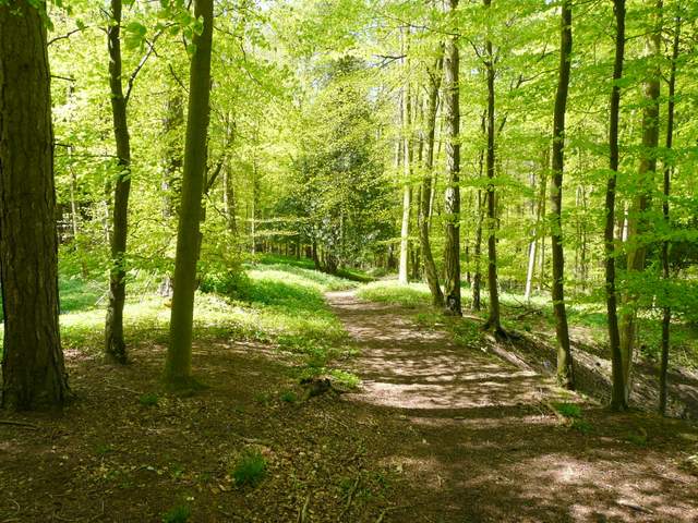
The bridleway through Freedom Wood
In a clearing in the wood I spotted a small butterfly - I didn't recognise what it was and thought it might be something I'd not seen before, but when I got home I identified it as a Dingy Skipper, something I've seen a couple of times before. A little further on the track left the wood to run on downhill between hedges, where I saw a couple of Holly Blue butterflies (another first for the year). The track ended on the lane that runs through the valley of Bix Bottom to the Warburg Nature Reserve. I turned left, and after photographing the remains of St James's Church I continued a little further down the lane to Valley End Farm. As I turned right to go through the farm yard, I was leaving the Oxfordshire Way which I'd been following so far, but I was now on the southern extension of the Chiltern Way, which I'd be following on and off for several miles now. A short distance from the farm, a path went left, heading uphill to a wood (the OS map shows the path on the left of a field boundary but it is actually to the right of a fence). I had to take a slight detour away from the fence to avoid some cows with their calves.
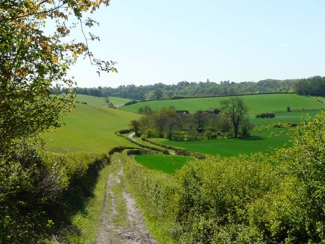
The bridleway approaching the valley of Bix Bottom (the ruined church is in the centre of the shot, with Valley End Farm beyond)
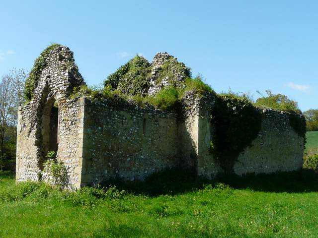
The ruined St James's church in Bix Bottom
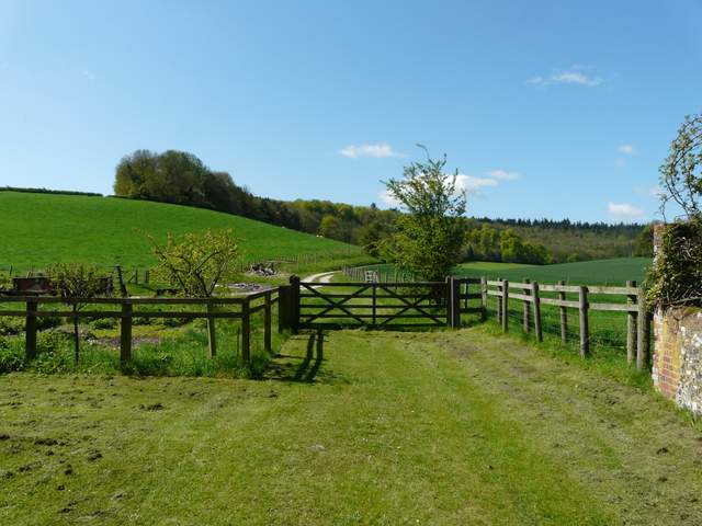
The path from Valley End Farm
Looking back from the edge of Coney Burrow, over Bix Bottom
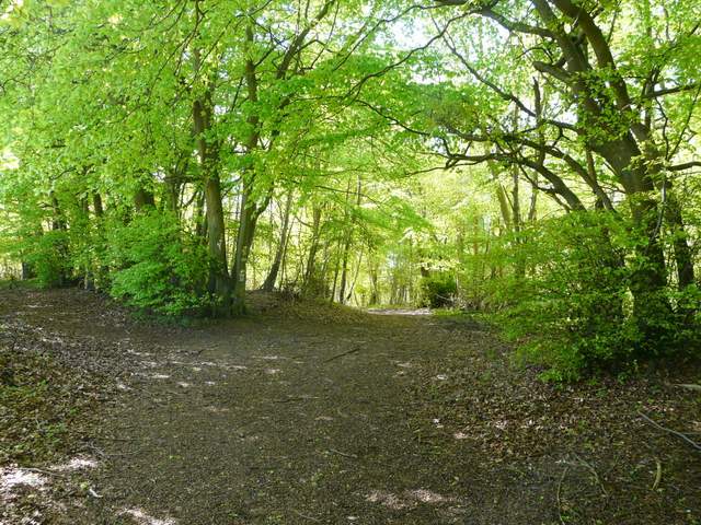
The path continued uphill through the wood (I think from the OS map it's called Coney Burrow). Further on the wood became Bushy Copse, not bushy at all but a fine beech wood. Beyond this, the path continued south across a large field of young green corn to reach the village of Bix. I crossed the main road here and, briefly leaving the Chiltern Way, I went down a lane for a few yards before turning left into Hatch Copse. The path ran just inside the wood, with a pasture to my left. There were plenty of Bluebells here, as in most woods I walked through today, and further on I came across a large patch of Wild Garlic or Ramsons. Beyond a farmyard on my left, the path dropped downhill slowly to reach a grassy ride along a small valley with woods either side.
The path through Coney Burrow to Bushy Copse
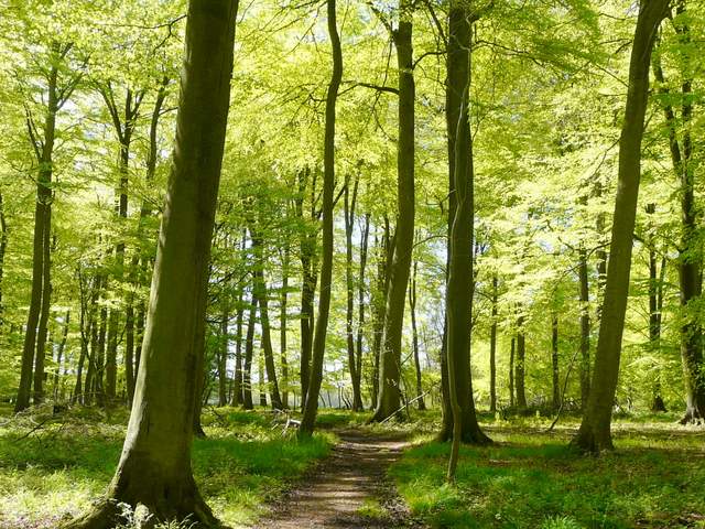
Bushy Copse
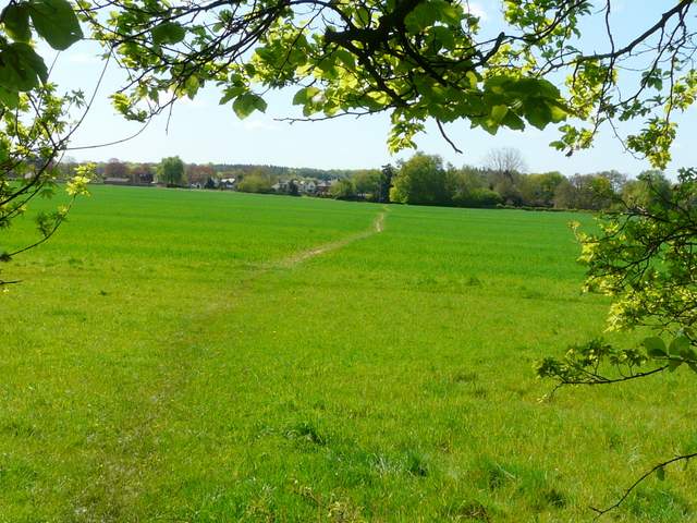
The path leaving Bushy Copse for Bix
Start of the path going south through Hatch Copse, Bix
Hatch Copse
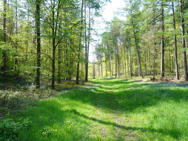
The grassy ride along the valley bottom