Pete's Walks - Cadmore End, Radnage, Crowell Hill (page 2 of 5)
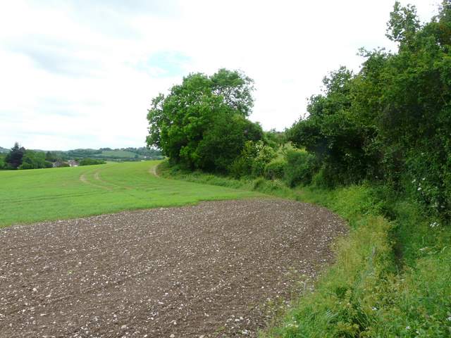
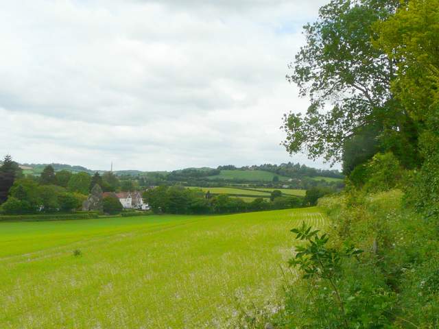
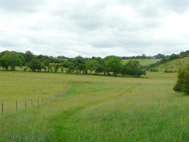
At the end of the lane I turned left along the minor road that runs through this part of Radnage, but after a few yards I turned right onto a bridleway. This descended steadily downhill into a valley, soon running beside a wood on my left. The far side of the valley was Bledlow Ridge, a long hill surmounted by a village of the same name. Looking to my right, I could see the tower of the Italianate St Lawrence's church at West Wycombe. The path continued across the valley floor to a lane called Bottom Road. I went a few yards left and took a bridleway on the far side. This climbed up the opposite slope towards the village of Bledlow Ridge, running just inside the edge of a wood on my right. There were sometimes nice views on my left, along the valley I'd just crossed (I could make out bits of the route I'd be following later).
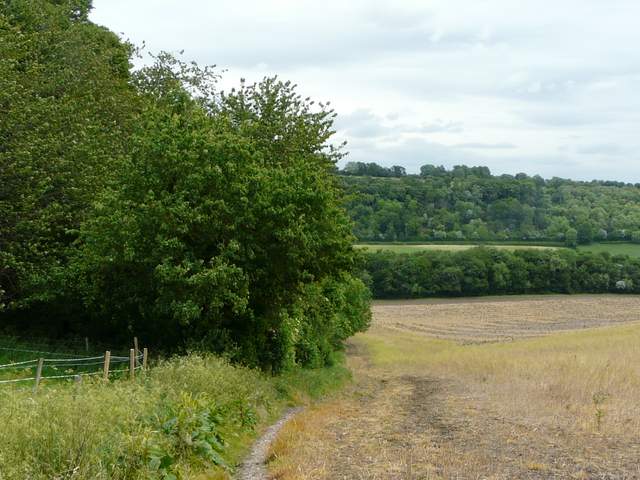
The bridleway going northwest from Radnage towards Bledlow Ridge
The bridleway going northwest from Radnage towards Bledlow Ridge (the route continues uphill just inside the left edge of the wood, then downhill along the sloping hedgerow)
Close-up shot looking right, towards St Lawrence's Church, West Wycombe
The bridleway going northwest from Radnage towards Bledlow Ridge
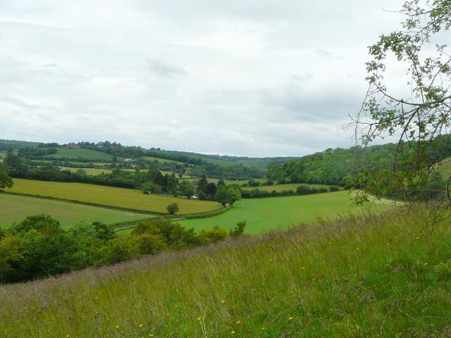
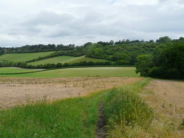
Looking left, from the bridleway up towards Bledlow Ridge (the route continues along the hedge and trees on the right)
The bridleway up towards Bledlow Ridge
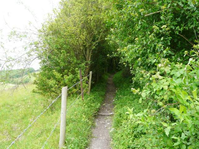
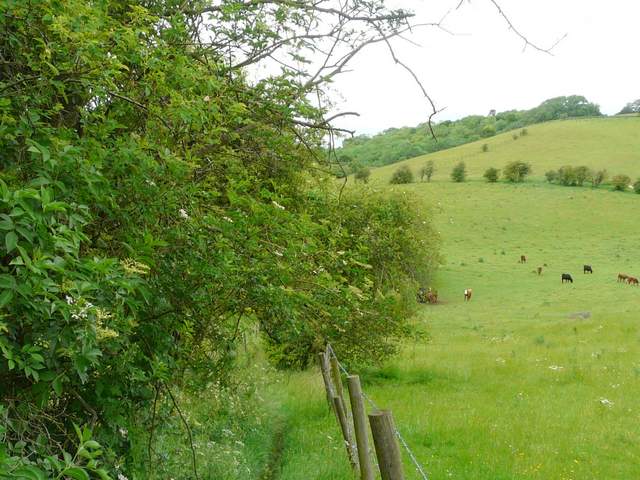
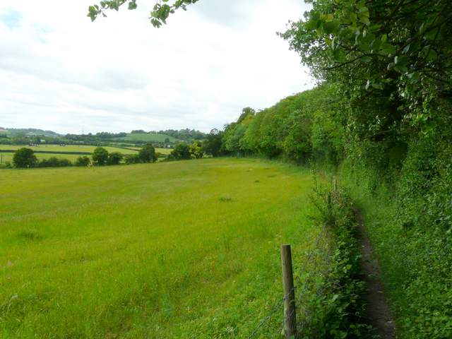
Before the bridleway reached Bledlow Ridge, I turned left onto a footpath that went back down the hillside between fences and hedges. Along here I spotted a tiny moth I'd not seen before, a Nemophora degeerella (I recognised it from seeing one identified on a wildlife website a few days ago, though I had to look the name up when I got home). Near the bottom of the valley, the path turned further right and followed a hedgerow along the attractive valley for quite some distance, heading towards and passing Yoesden Wood.
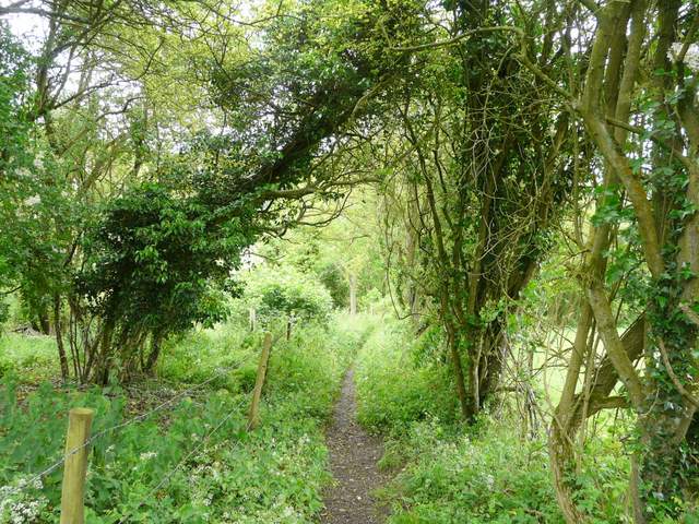
The path back down from near Bledlow Ridge
The path back down from near Bledlow Ridge
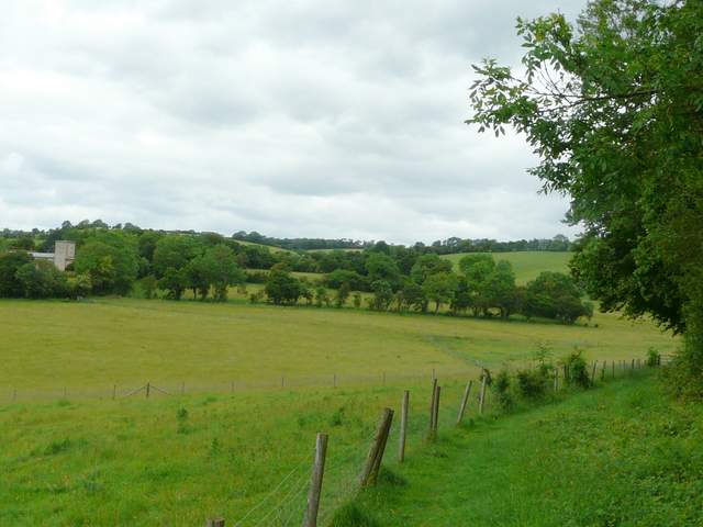
The path continuing northwest towards Yoesden Wood
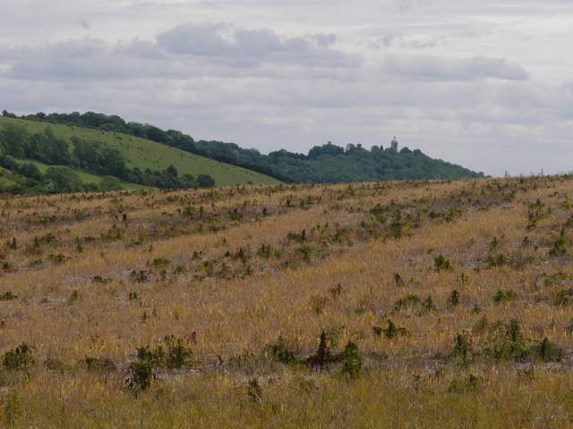
The path continuing northwest towards Yoesden Wood (Andridge Farm, which I would reach later, is on top of the green hill in the centre of the shot)
The path continuing northwest towards Yoesden Wood (Andridge Farm, which I would reach later, is on top of the green hill in the centre of the shot)
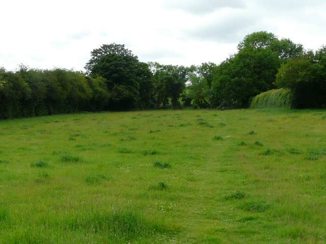
I passed Yoesden Wood on my right, then the path crossed some meadows to reach Radnage church. Across a lane from the church, a path ran through a meadow to another lane. A few yards left, I turned right at a junction to go uphill.
The path continuing past Yoesden Wood (Radnage church on the left))
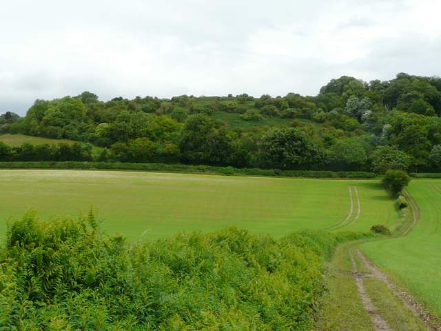
The meadows between Yoesden Wood and Radnage church (just out of shot on the left)
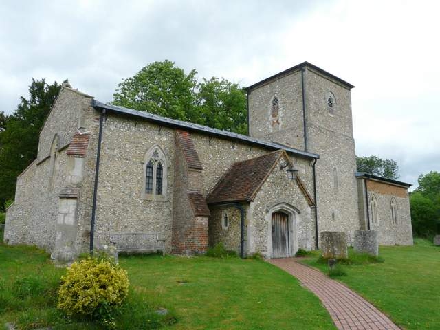
Radnage church (most unusually the tower is in the centre of the church, not at one end)
The path going southeast from Radnage church