Pete's Walks - Goring and Mapledurham (page 1 of 4)
If you are considering walking this route yourself, please see my disclaimer. You may also like to see these notes about the maps and GPX files.
Google map of the walkDownload GPX file of the walk
I did this 13.4 mile circular walk on Saturday, 16th June, 2012. It was the reverse of Walk 20 of my Chiltern Chain Walk (this time I did it clockwise).
It took almost one and a half hours to drive to Goring - that's the main reason I haven't walked from here for almost two and a half years, it's a little longer than I like to drive for a walk in the Chilterns. I chose to park in the village car park (though I could probably have found somewhere to park for free) and started walking about 10.05am. I followed the path out of the car park (Grid reference SU 599807), on the opposite side to the entrance, to the main shopping street through the village, and turned right to go over a bridge across the railway line. I turned right for a short distance, then took a road going left. After a few yards I turned right into a residential street with large and fairly modern properties either side. This soon turned left, and at a 'roundabout' I followed the road a short distance right to where it ended. A short footpath led on to playing fields, where I went half-left to reach a gateway in the far corner.
The Oxfordshire village of Goring-on-Thames is situated in the Goring Gap, where the river Thames has carved a route between the Chilterns and the Berkshire Downs. Across the bridge over the Thames here lies Streatley, in Berkshire. Goring is mentioned in the Domesday Book, and the village church dates to the time of the Normans – it was originally dedicated to St Mary, but was later re-dedicated to St Thomas a Becket. Goring Priory, an Augustinian establishment, was founded around 1200 – at the time of the dissolution in 1536, there was only the Prioress and three nuns still in residence.
Leaving Goring behind, a nice footpath now led uphill beside a hedge. There were pleasant views across the valley to my right, and further right along the Thames valley (where I'd be coming back later). The path continued along the top of the hill, still following the hedgerow - there was a cemetery on the other side at one point. The path (and hedge) then curved right and descended into the valley, before I passed through a small enclosure with numerous wildflowers, especially White Campion, and then entered Great Chalk Wood.
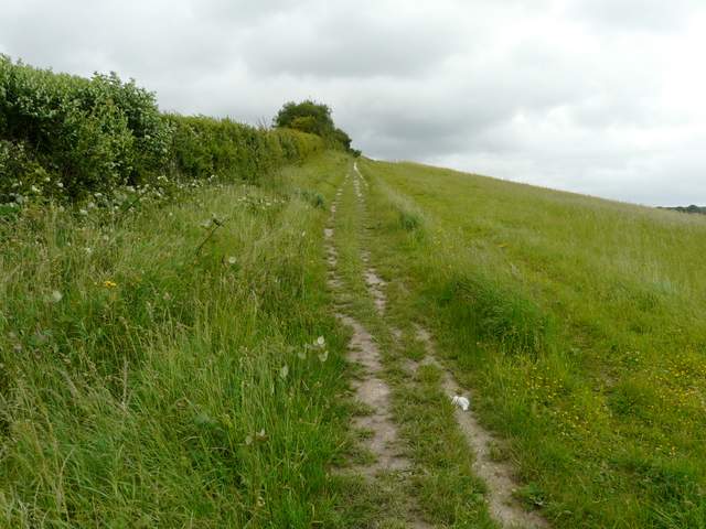
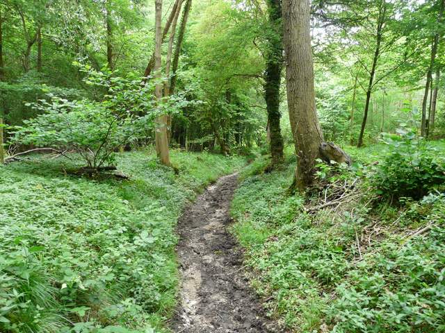
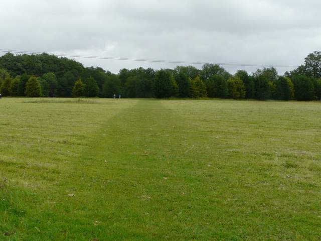
Start of the path going east from Goring towards Great Chalk Wood
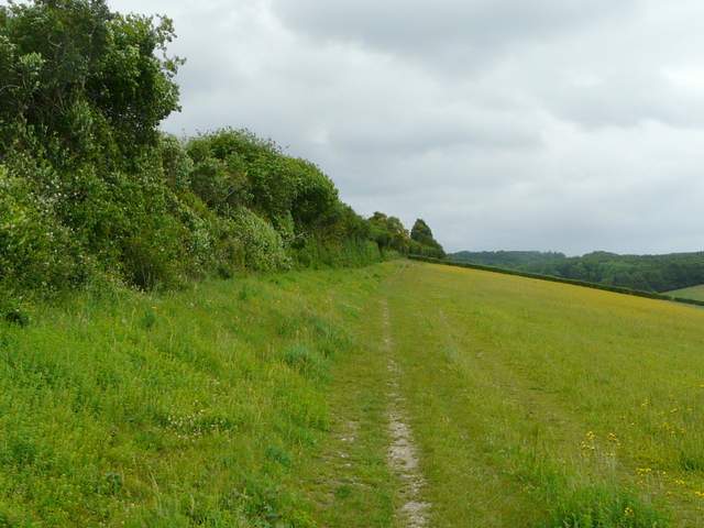
The path going east from Goring towards Great Chalk Wood
The path going east from Goring towards Great Chalk Wood
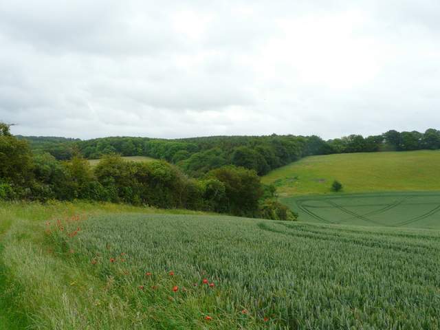
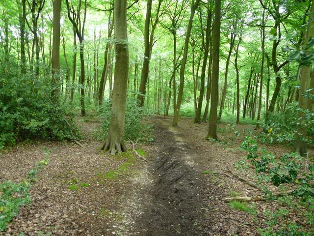
The path led gently uphill through the trees of Great Chalk Wood, soon becoming a clear track. After about half a mile I reached a bridleway junction where I went left. A short distance further on I came to another bridleway junction where I turned right, continuing my generally eastwards progression, now along the northern edge of the wood. Just beyond the end of the wood I passed Bottom Farm, where the bridleway became a surfaced track. It passed through a small wood and continued past a few other buildings in the hamlet of Blackbird's Bottom to reach a road just south of the village of Cray's Pond.
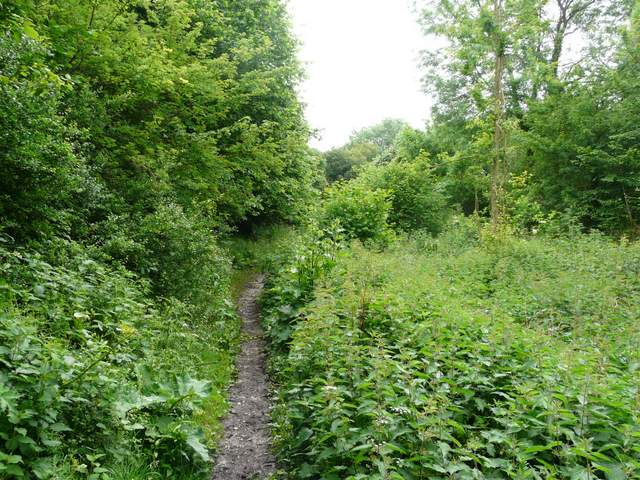
The path going east through Great Chalk Wood

The path going east through Great Chalk Wood
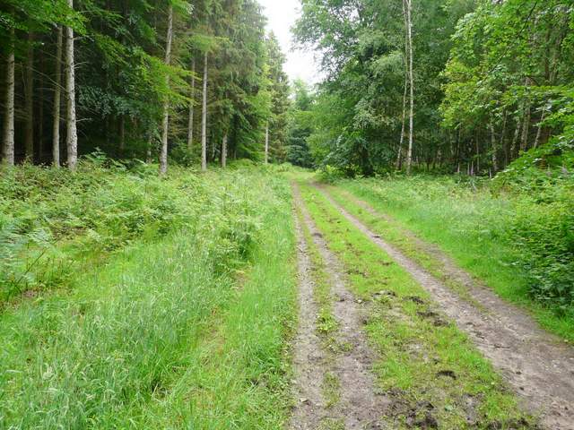
The path going north through Great Chalk Wood
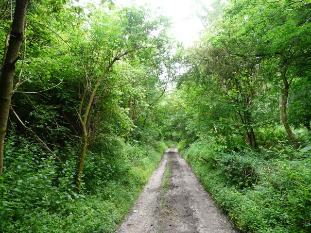
The bridleway heading east along the north-eastern edge of Great Chalk Wood
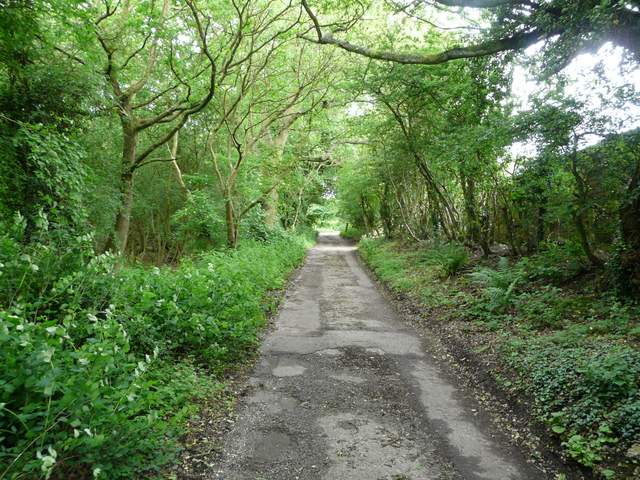
The bridleway just east of Bottom Farm
Near the end of the track at Blackbird's Bottom
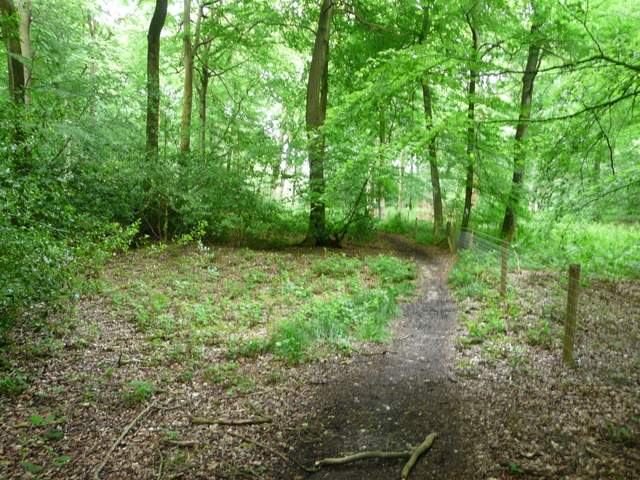
I crossed the road, and took a path going half-left across an area of grass and then across some school playing fields (update 18/1/17: the path is now diverted left, to go round the edge of the playing fields). I then went less than 100 yards right along a road, before taking a path on the other side that entered a wood (the next three miles or so would be almost entirely wooded, so I apologise if many of the photos look the same!). The path headed eastwards through the trees, crossing a track called Eastfield Lane. On reaching a path T-junction I turned right, now in Little Oaken Wood. On reaching a path crossroads I went left along a bridleway, soon entering Oaken Wood. I crossed a minor road, the bridleway now continuing between Birchen Copse and Common Wood (to my right). At the next bridleway crossroads, close to a corner of a field, I turned right and continued through Common Wood. The OS map shows the next junction as a 'staggered' crossroads, but in fact I just went straight on.
The path across the school playing fields

The footpath into the woods, east of Cray's Pond
The path in Little Oaken Wood

The path in Little Oaken Wood

The bridleway in Oaken Wood
The bridleway in Common Wood