Pete's Walks - Pitstone Hill and Wigginton (page 4 of 4)
I continued with Pendley Manor some way over to my left. There are artificial horse gallops around here, but the one that I crossed near the end of this path seemed overgrown and no longer used. My route then took me left along a lane which soon led me into the village of Tring Station. I turned right, and soon passed the actual station here on my right. As I then followed the road out of the village, it started to rain and I stopped under the shelter of a tree to put on my waterproofs.
The path from the old A41 to Tring Station
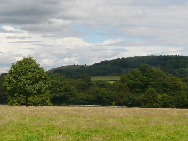
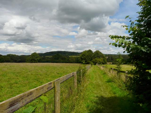
View to Pitstone Hill and Aldbury Nowers, from the path past Pendley Manor
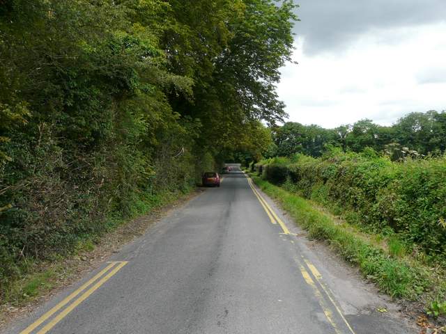
The lane into Tring Station
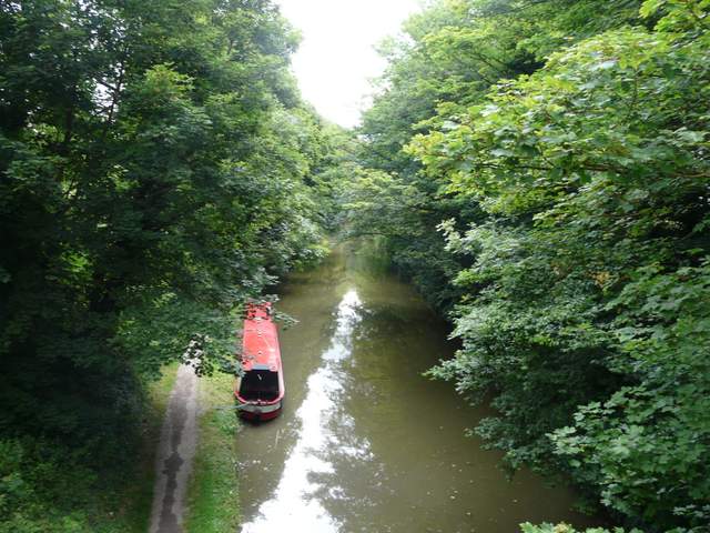
Grand Union Canal, at Tring Station
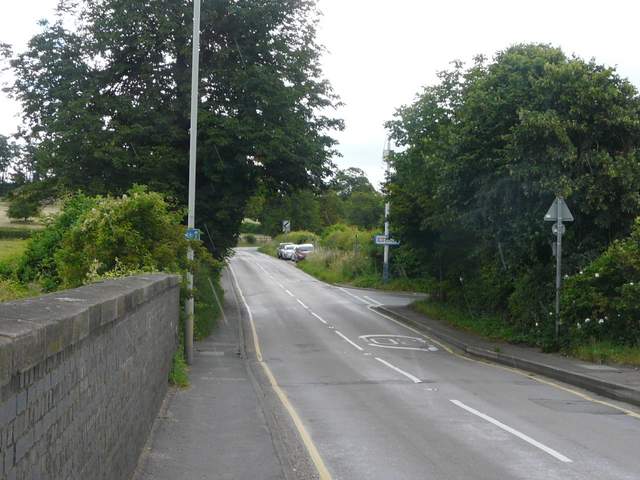
The road out of Tring Station (heading to Aldbury)
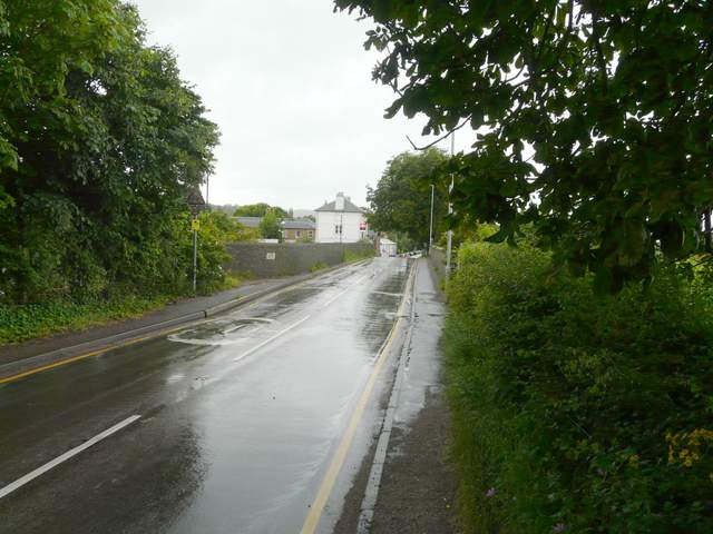
Looking back to Tring Station, after donning my waterproofs - see how wet the road is now compared to the previous shot!
I went straight on when a road came in from the left, but a little further on I turned left along a cement track. This soon brought me to a path crossroads where I turned left onto a bridleway running between hedges and trees. I only managed a few poor photos along here, as I was sheltering my camera from the rain. After maybe half a mile the path turned right through the Aldbury Nowers nature reserve (where some members of the Hertfordshire & Middlesex Wildlife Trust were just packing up after some event - at least they'd had some decent weather before the rain came).
The bridleway taking the Ridgeway towards Aldbury Nowers
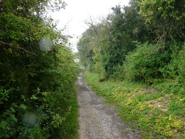
The bridleway taking the Ridgeway towards Aldbury Nowers
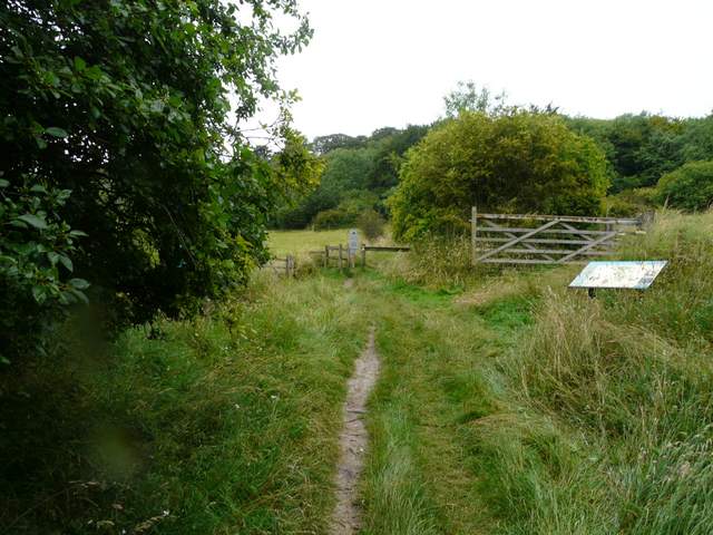
The entrance to the Aldbury Nowers nature reserve
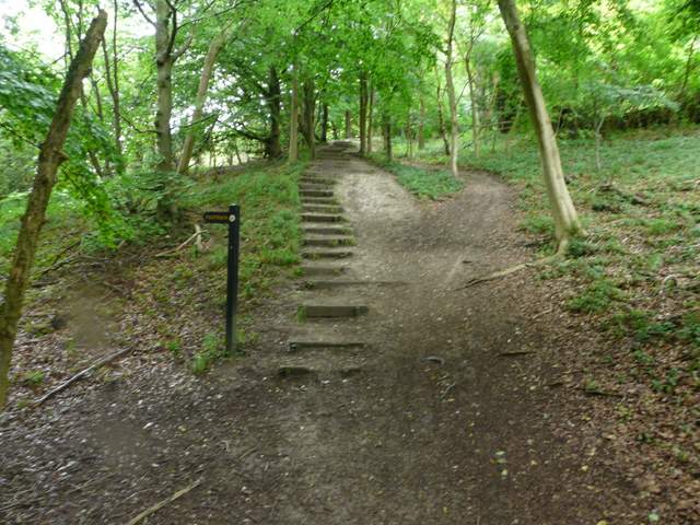
A little further on I turned left, following the Ridgeway still as it went up some steps and continued on through the woods of Aldbury Nowers. As always this was a pleasant woodland walk, although I still needed my waterproofs as the rain was still coming down. After probably a mile or so through the woods, I arrived at the open grassland of Pitstone Hill. The path lead fairly gently up to the top of the hill, following the course of an ancient earthwork called Grim's Ditch. I continued on over the top of the hill, now with Steps Hill and Ivinghoe Beacon ahead of me. Fortunately the rain wasn't too bad in this open and exposed area, as the path gradually lost height and then I went up and over a small grassy hillock to return to the car park where I'd started. I was quite lucky - as I was taking my boots off, the heavens really opened, and the roads were half awash with water as I drove home.
Grim’s Ditch(or Grim’s Dyke or just Grimsdyke) is the name shared by a number of ancient linear earthworks, mainly in the south of England but also as far afield as Yorkshire. They are believed to date back to the Iron Age, and as they are too small for military purposes are thought to demarcate territory. The name derives from the Saxon word for the devil or the God of the Underground, Grim (or Odin). There are intermittent sections of Grim’s Ditch from Pitstone and Ivinghoe as far west as Bradenham near High Wycombe, a distance of almost 20 miles.
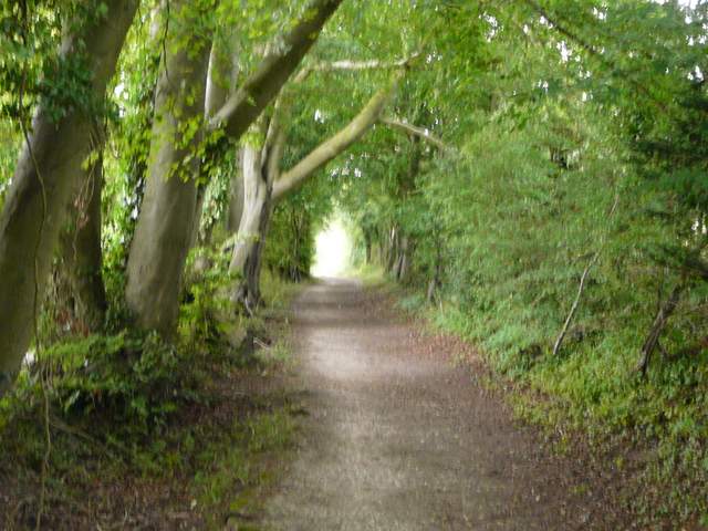
The Ridgeway continuing through the woods of Aldbury Nowers
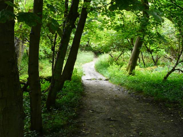
The Ridgeway continuing through the woods of Aldbury Nowers
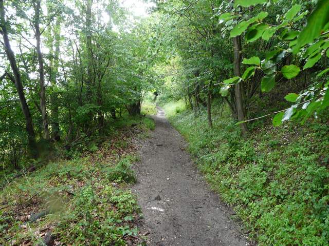
The Ridgeway continuing through the woods of Aldbury Nowers
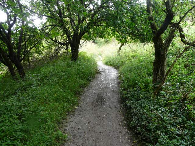
The Ridgeway continuing through the woods of Aldbury Nowers
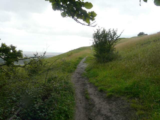
The Ridgeway as it reaches Pitstone Hill
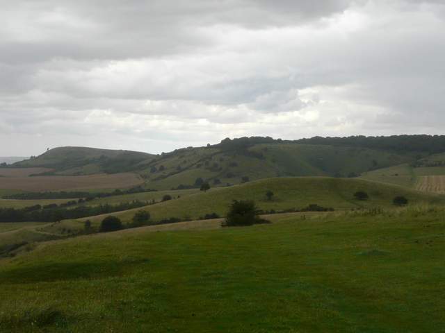
Close-up from Pitstone Hill, looking towards Ivinghoe Beacon and Steps Hill. The car park is hidden behind the 'hillock' in the middle of the photo.
Pitstone Hillhas impressive views over the Vale of Aylesbury, and is a good site for wildflowers such as Clustered Bellflower. In the middle of a field to the northwest is Pitstone Windmill. This post-mill has the date 1627 carved on its framework, the earliest date on any windmill in Britain - as this could be the date of repair work, the windmill could be even older than that. It belonged to the Ashridge Estate for many years, but in 1902 it was damaged beyond economic repair in a storm. In 1922 it was bought by a neighbouring farmer who donated it to the National Trust fifteen years later. A keen band of enthusiasts started restoring it in 1963, and it ground corn in 1970 for the first time in 68 years. It is open on Sunday afternoons in the summer.
It was a real shame about the rain at the end of this walk, but that didn't really spoil a very good walk. This is a shorter walk quite close to my home that I do quite often and always like. If anything, I may now prefer doing it in this clockwise direction, there certainly isn't much too choose between the two directions. This way has the possible advantage of getting most of the ups and downs over near the start. I think it's a good route, with a nice mixture of woods, fields and the open grasslands around Pitstone Hill. Aldbury is an attractive village, if a bit 'touristy'. And at this time of year, there were plenty of wildflowers and several butterflies to be seen.