Pete's Walks - Ashridge and Ivinghoe Beacon (page 1 of 4)
If you are considering walking this route yourself, please see my disclaimer. You may also like to see these notes about the maps and GPX files.
Google map of the walkDownload GPX file of the walk
I did this 12.5 mile circular walk on Monday, 30th July, 2012. It was the reverse of Walk 3 of my Chiltern Chain Walk, this time I was walking in the anti-clockwise direction. This was my third walk in three days - we are having a "Walking For Wellness" competition at work during the London Olympics, and I wanted to get off to a good start. It'll help that I'd already booked the Mondays off anyway - I'm doing the same as last year and having a long sequence of three-day weekends during the summer rather than a long holiday.
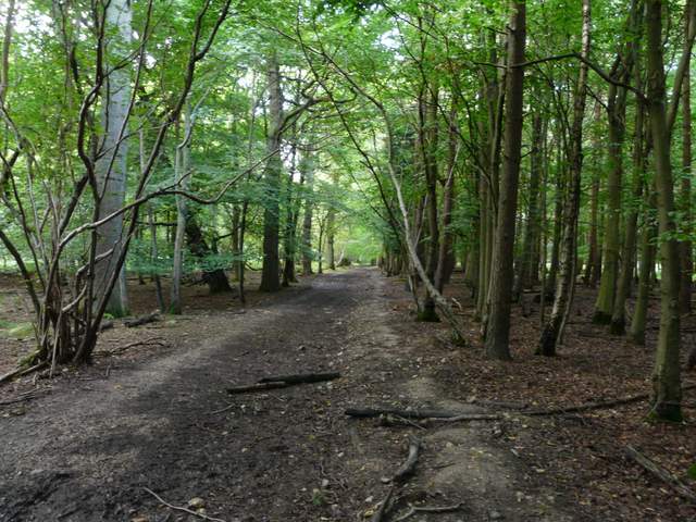
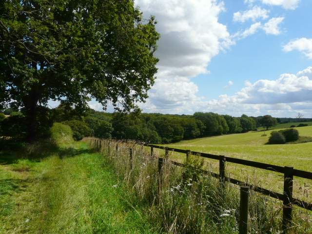
I parked at the car park by the Bridgewater Monument in the centre of Ashridge (Grid reference SP 972131), and started walking about 10.05am. I walked a short way down the drive away from the monument, then turned right onto a long footpath going south (I've always thought this was a bridleway because it's so wide). As ever it was a delight to walk through the woods of Ashridge, and I saw surprisingly few other people about on this nice summer day. After maybe half a mile I passed a very large pasture on my left, and as usual there were a large number of Fallow Deer in it - I'm not sure what the resident cows think of them!
The Bridgewater Monument is a Doric column 108 feet high, with 107 steps inside leading to a viewing platform (not always open). It was erected in 1832 as a tribute to the 3rd Duke of Bridgewater, “the Father of Inland Navigation”. He commissioned the Worsley-Liverpool canal (often cited as the first canal of the modern era) and the Manchester-Liverpool canal, and his canal and coal interests eventually made him the wealthiest aristocrat in the country. He died in 1803 at the age of 66.
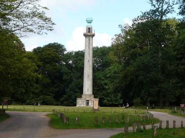
The Bridgewater Monument, Ashridge
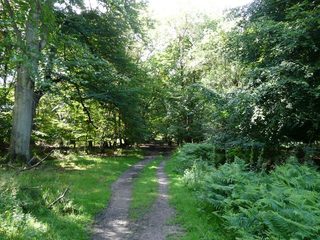
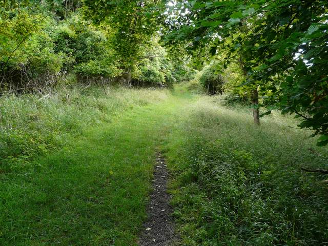
The footpath heading south from the drive to the Monument
The footpath heading south from the drive to the Monument
The footpath heading south from the drive to the Monument - as usual, there were a large number of Fallow Deer in the large pasture on the left
The Ashridge estate stretches across the Hertfordshire/Buckinghamshire border, and originally surrounded Ashridge Priory, founded in 1276 by Edmund, 2nd Earl of Cornwall. A later house on the site was once the home of Elizabeth I. From 1604 to 1848, the estate belonged to the Egerton family, the Dukes and Earls of Bridgewater. The 3rd Duke, the famous canal builder, demolished the old house here but died before work commenced on its replacement. So the current gothic extravaganza was built by his heirs – it is now an internationally famous management college. In 1921 the land (but not the house) was given to the National Trust. There are 5000 acres in all, mainly woodland (especially beech) but also chalk downland and open commons, supporting a variety of wildlife (including about 800 Fallow Deer).
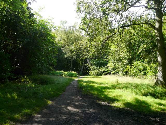
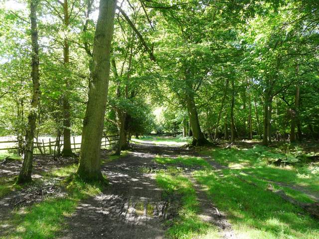
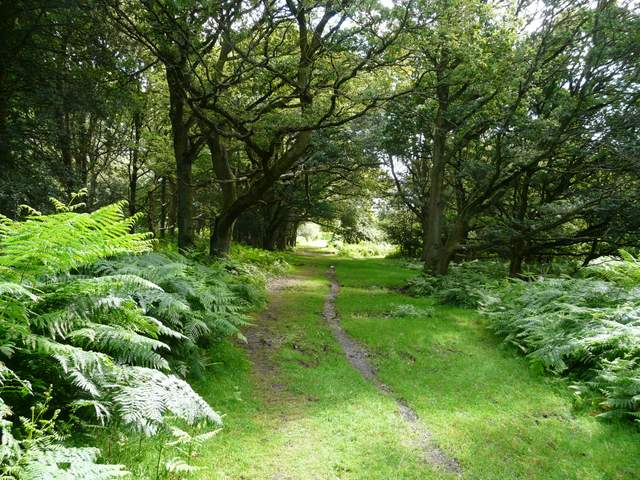
A little further on I crossed a road (going down to Aldbury, away to my right). The path continued on the other side, the trees here seemingly darker and denser than elsewhere in Ashridge. At a path crossroads I turned left, and soon reached the edge of the huge expanse of grass that makes up much of Northchurch Common. Here I turned right, and followed a path round the edge of the grass, In a wooded corner I turned left, but within a few yards turned right, leaving the grass for an area of bushes and trees. I followed the path (keeping right at a fork) for a few hundred yards (longer than I recalled), the path finally entering more woods and turning half-left. It was soon following the southern edge of Northchurch Common, with fields just feet to my right. It dropped into a valley and climbed up the other side, before dropping down again into another small valley.
The same footpath continuing after crossing the road to Aldbury
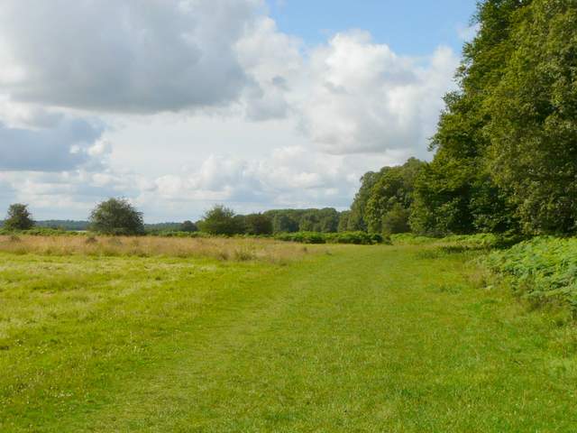
The path round the edge of Northchurch Common
The path continuing through the trees of Northchurch Common, near Norcott Hill
The path descending along the western edge of Northchurch Common, just south of Norcott Hill
The path along the south-western edge of Northchurch Common
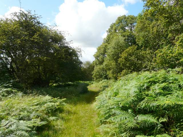
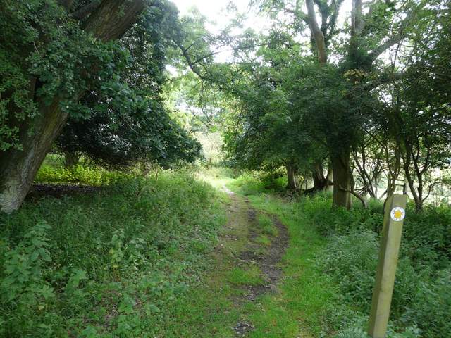
At the bottom of the small valley I turned left along a private drive going gently uphill. After about a quarter of a mile I turned right onto a path that ran through some bushes and then bracken to reach the Northchurch-Ringshall road. The path continued on the other side, and at a fork I kept left, passing through a relatively open area of woodland and bracken. At the end of this path I turned left and followed a path through the grounds of Northchurch Farm. At a path junction here I took the leftmost of two paths, which immediately crossed a flat area of grass, evidently a polo pitch.
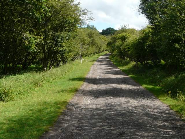
The private drive on Northchurch Common
The path on the other side of the Northchurch-Ringshall Road
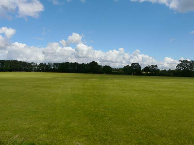
The polo field, at Northchurch Farm
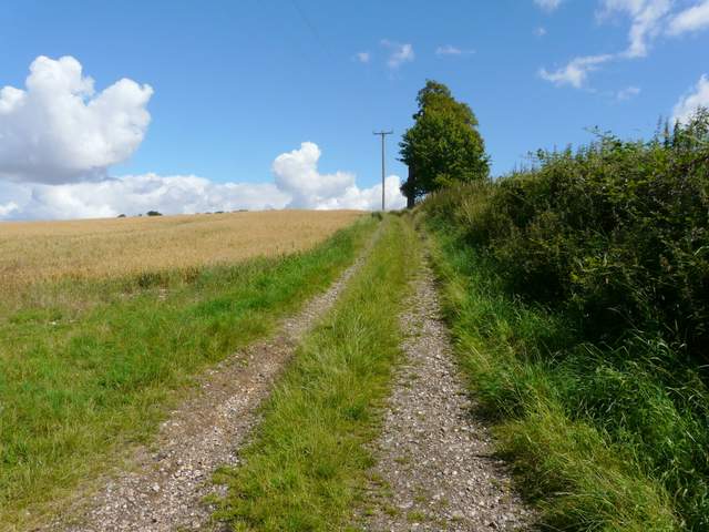
Beyond the polo pitch I joined a track going left then immediately turning right, heading slightly downhill between a hedge and a wooden fence on the right. Over a stile, a track skirted a wood on the right, turned left and then right, now climbing gradually uphill before levelling off. The track now continued for some distance beside a huge field of corn (I think initially there was oats here but later it was wheat), with a hedgerow or wood on my right. Eventually I went over another stile and went half-left over a small meadow with a pond in it, to reach a gate at Coldharbour Farm.
The path just north of the polo field
The start of the long track heading northeast to Coldharbour Farm
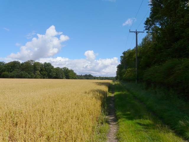
The long track heading northeast to Coldharbour Farm
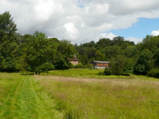
Approaching Coldharbour Farm