Pete's Walks - Ashridge and Ivinghoe Beacon (page 4 of 4)
After briefly admiring the views from the top of Ivinghoe Beacon, I turned left and made my way down its southern slope, then went up and over its two subsidiary 'humps', the larger and further of the two being surmounted by another tumulus. I turned left from the top of the second 'hump', then followed the path to the car park for Ivinghoe Beacon, which followed a fence on my left and ran roughly parallel to Beacon Road a short distance away through bushes on the right. I walked through the car park and then continued through beech trees, now even closer to Beacon Road on my right. It now started to rain, so for the second walk in succession I stopped and put on my waterproofs (most unusual for a fair-weather walker like me!).
Ivinghoe Beaconis a prominent hill jutting out from the escarpment of the Chiltern Hills, rising to a height of 817 feet above sea level. It is in Buckinghamshire, though very close to the county boundaries of both Bedfordshire and Hertfordshire. It was the site of an Iron Age hill fort, being a natural defensive position with steep sides almost all the way round. It is the starting point of both the Ridgeway (going west) and the Icknield Way (going east). It is usually visited for the extensive views towards Dunstable Downs and over the Vale of Aylesbury, but it is also popular with walkers and model-aeroplane enthusiasts, and is a good site for wildflowers (including pyramidal and common spotted orchids).
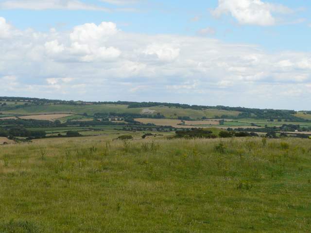
Looking towards the Whipsnade Downs from the top of Ivinghoe Beacon
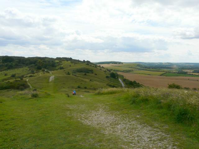
From Ivinghoe Beacon, looking to the 'humps' and Steps Hill, with Pitstone Hill further right
,
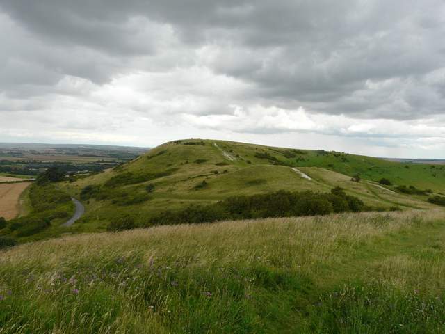
Looking back to Ivinghoe Beacon, from one of the 'humps'
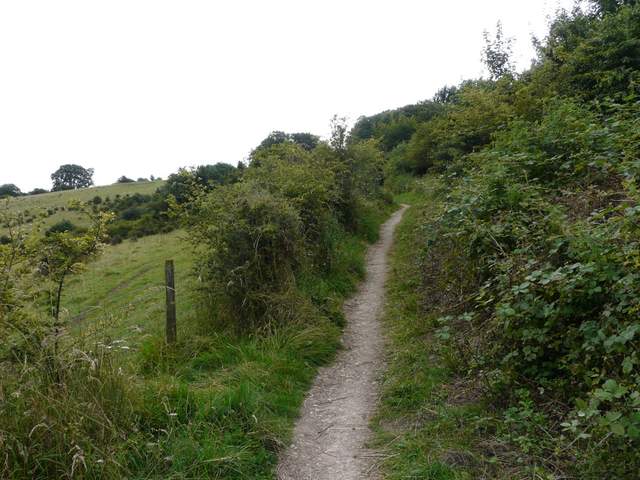
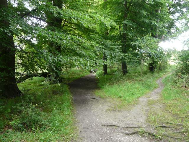
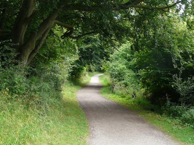
The path to the car park for Ivinghoe Beacon
The path through the trees next to Beacon Road
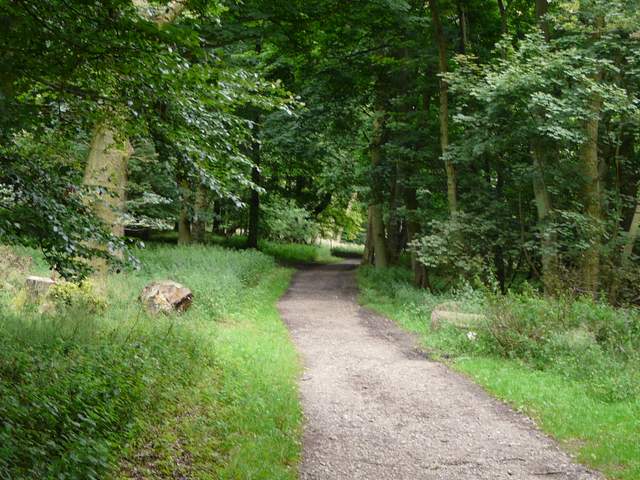
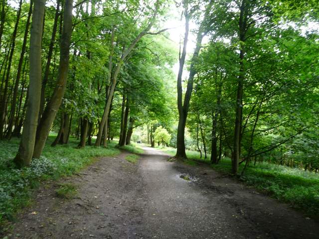
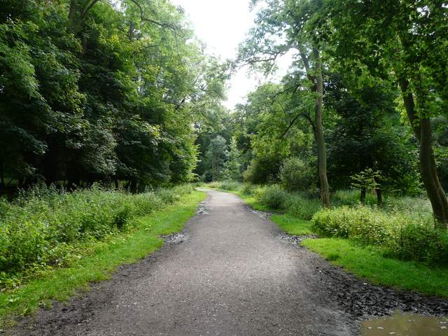
Beyond the beech trees there was a small area of grass - near its end I crossed Beacon Road and took a surfaced track that would take me the last couple of miles or so back to the Bridgewater Monument in Ashridge. I only managed one or two photos as the rain fell, but it didn't last long (and was never too heavy, fortunately nowhere near as bad as yesterday's 'monsoon'). The rain had stopped before I reached the kennels on Clipper Down, and it started to become warm and sunny again - I left my waterproofs on, just in case, though! As usual in summer, there were a number of people strolling along this popular track. For some reason I seemed to have gotten my second wind, and found myself marching along at a good pace. Sooner than expected I found myself back at the foot of the Bridgewater Monument, from where it was just a couple of hundred yards or so to my car.
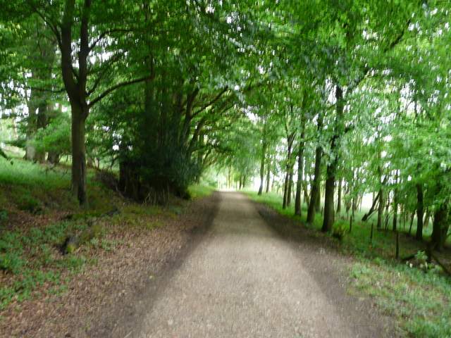
The long track from Ivinghoe Beacon to the Bridgewater Monument, Ashridge
The long track from Ivinghoe Beacon to the Bridgewater Monument, Ashridge
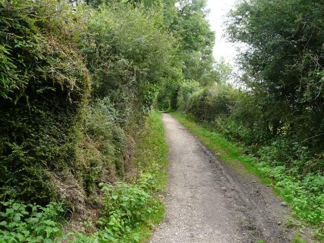
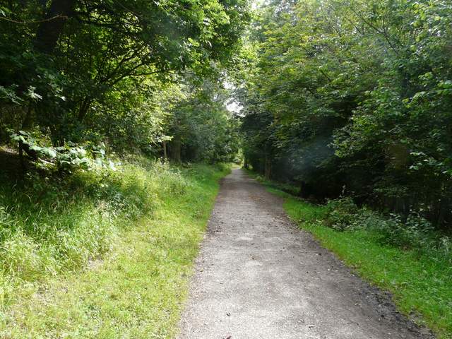
The long track from Ivinghoe Beacon to the Bridgewater Monument, Ashridge - this is as it passes the kennels on Clipper Down
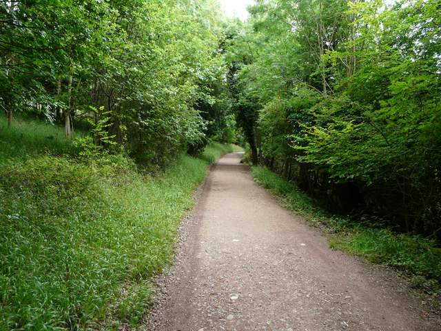
The long track from Ivinghoe Beacon to the Bridgewater Monument, Ashridge
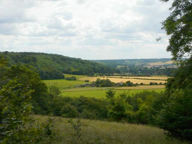
View over the valley of Duncombe, towards Aldbury
The long track from Ivinghoe Beacon to the Bridgewater Monument, Ashridge
The long track from Ivinghoe Beacon to the Bridgewater Monument, Ashridge
The long track from Ivinghoe Beacon to the Bridgewater Monument, Ashridge
The long track from Ivinghoe Beacon to the Bridgewater Monument, Ashridge
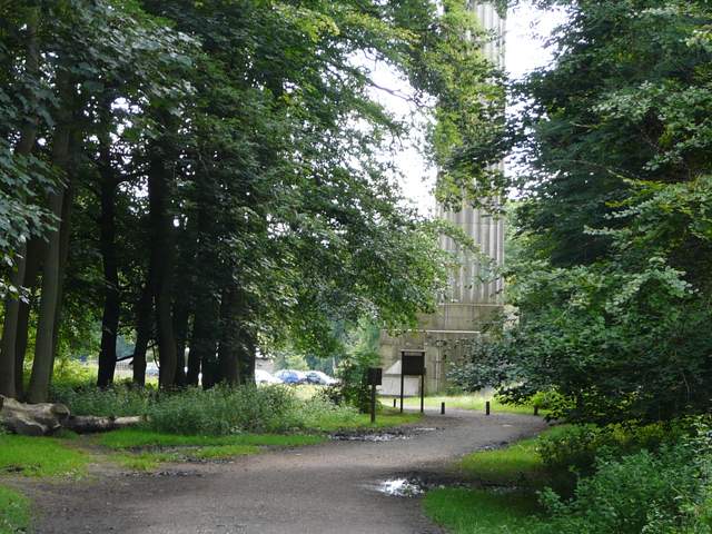
Arriving back at the foot of the Bridgewater Monument, Ashridge
This was another good walk, with lots of woodland paths broken up by a few field sections for variety. There were several small ups and downs, though the only large ones were near the end at Ivinghoe Beacon. The ridge of Gallows Hill and the views there and from the Beacon itself were probably the highlights of the walk.