Pete's Walks - Watlington Hill and Park Corner (page 5 of 5)
The path then descended steeply down the wooded western end of Swyncombe Downs, passing a number of Yew trees at one point. At the foot of the slope I passed through the small car park and turned right along a track. This ran along the foot of the wooded slope on my right for some distance. It then continued onwards between fields. I went straight on at a junction by North Farm, where the Ridgeway came in from the right, and a little further on crossed a lane.
Start of the descent at the western end of Swyncombe Downs
Descending Swyncombe Downs
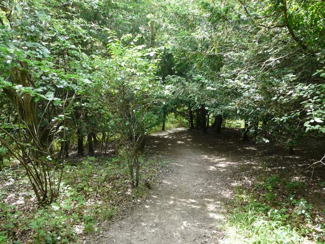
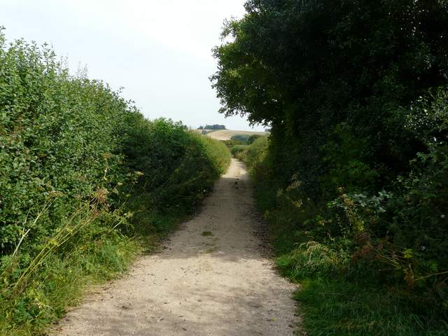
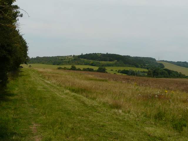
The bridleway going northeast along the foot of Swyncombe Downs
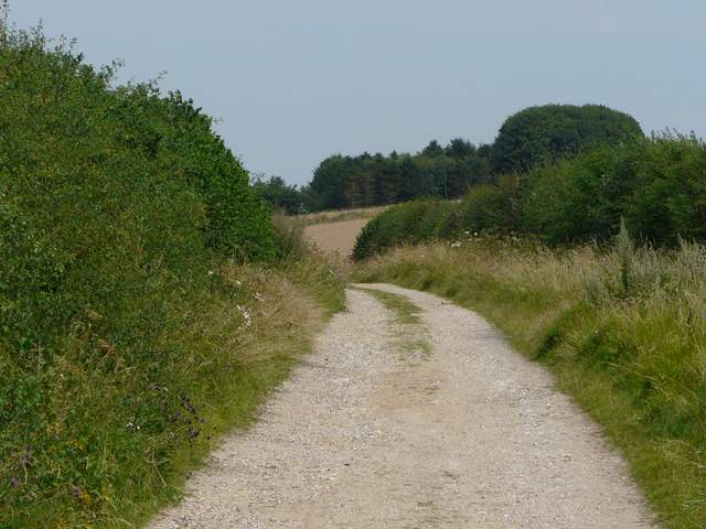
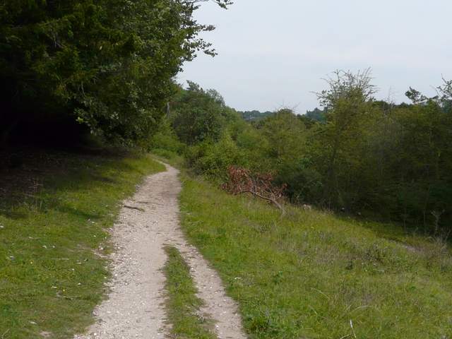
The bridleway continuing towards North Farm
The bridleway continuing towards North Farm
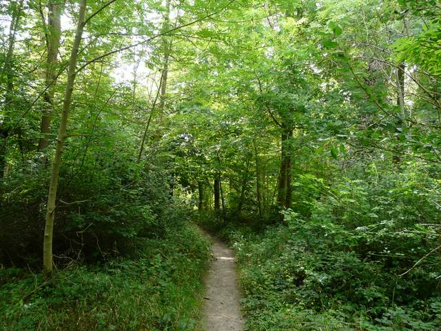
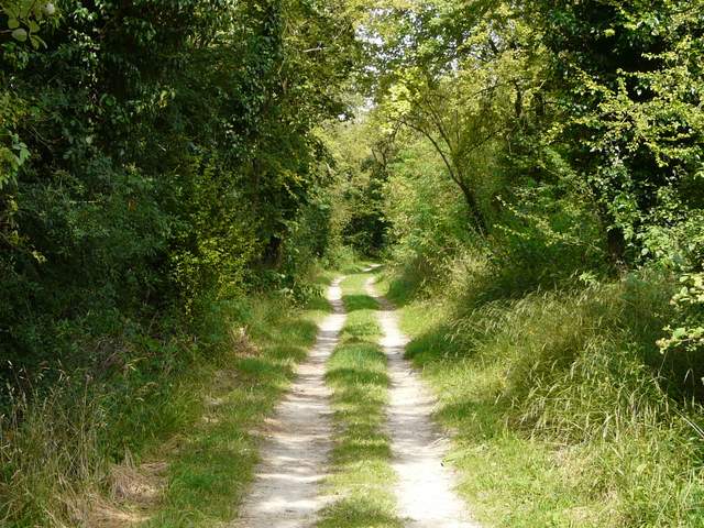
The bridleway continuing beyond North Farm
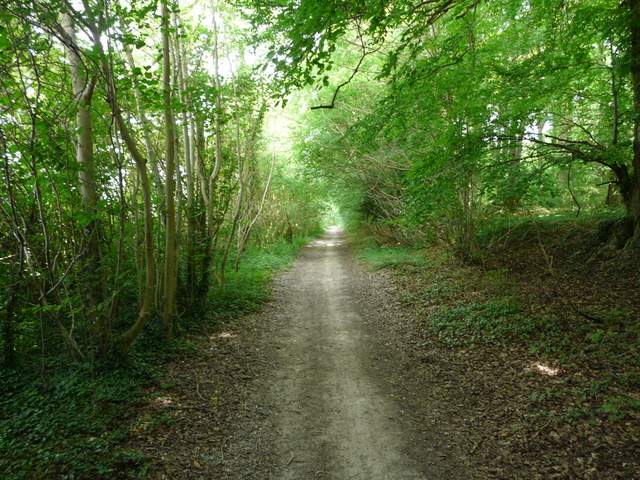
Beyond the lane crossing, the track ran on between hedgerows either side. After about three quarters of a mile, I reached a path junction by Lys Farm House. I now took the permissive path that ran behind the hedge on the right, which ran along the edge of a large empty pasture with a view of Watlington Hill ahead. It rejoined the track, now a surfaced drive, as it terminated on the Watlington to Nettlebed road.
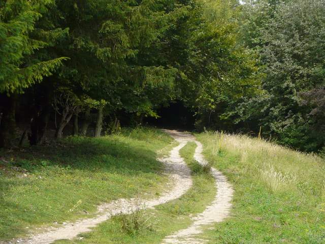
The bridleway continuing beyond the lane crossing
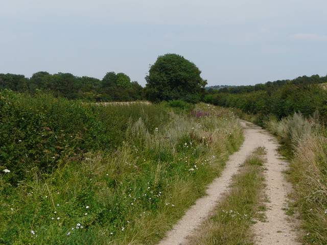
The bridleway continuing towards Lys Farm House
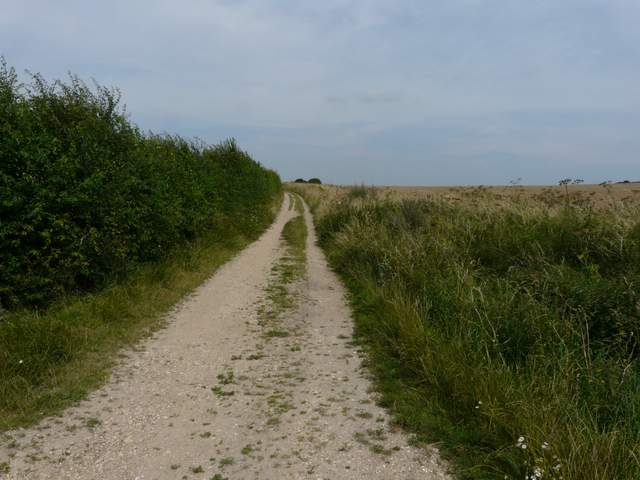
The permissive path beside the Ridgeway, going northeast from Lys Farm House - the wooded hill is Watlington Hill
Leaving the route of the Ridgeway, I turned right along the road. After a few hundred yards I turned left along a drive for a very short distance, before forking left onto a footpath that was soon running between tall hedgerows. The path then climbed steadily up the attractive slopes of Watlington Hill. There were a variety of wildflowers in the more open grassy sections, including both Great Mullein and Dark Mullein. I passed a long line of Yews on my left, before entering an area of beech trees just before I reached the car park on top of the hill.
Watlington Hill is a good site for seeing Red Kites, and has extensive views over the Oxfordshire Plain. On the steep slope overlooking the ancient market town of Watlington is the ‘white mark’, a triangular chalk carving 270 feet high and 36 feet wide. It was designed by the local squire Edward Horner in 1764, so that Watlington church appeared to have a spire when viewed from his home.
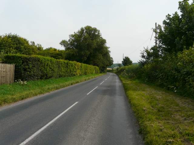
The road from Watlington, headed towards Nettlebed
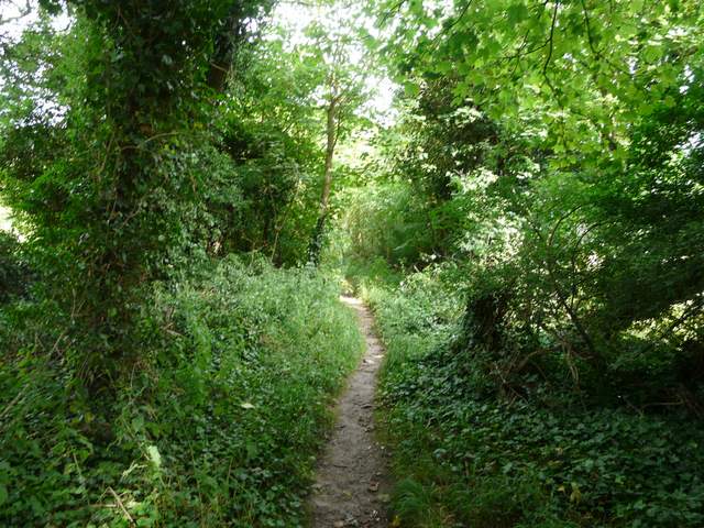
Near the start of the path to Watlington Hill
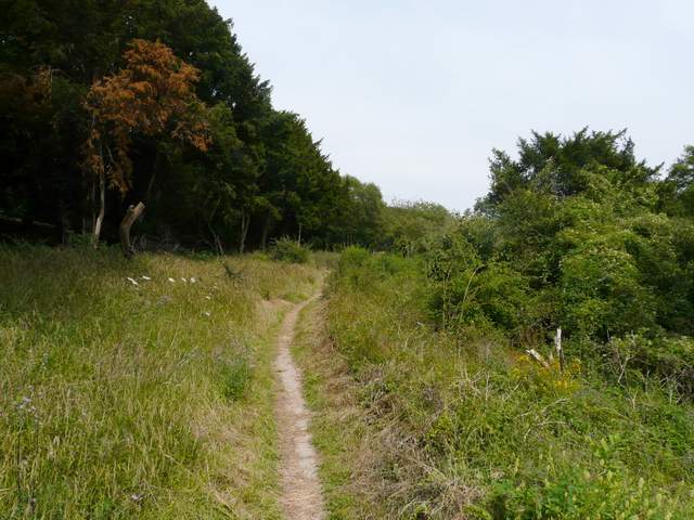
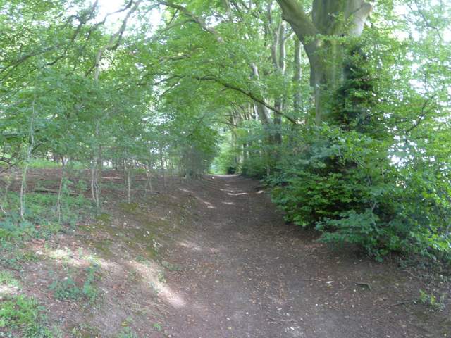
The path up Watlington Hill
The path up Watlington Hill
The path up Watlington Hill
Approaching the car park on top of Watlington Hill
This was a very enjoyable walk, on a very pleasant Summer's day. It is one of my favourite routes in the Chilterns, and it seemed a long time since I had done it in this direction. I was very lucky in terms of wildlife sightings today, and the colourful wildflowers in the meadows and hedgerows really added to the pleasure of the walk.