Pete's Walks - Stoke Row and Nuffield (page 4 of 4)
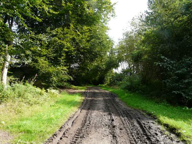
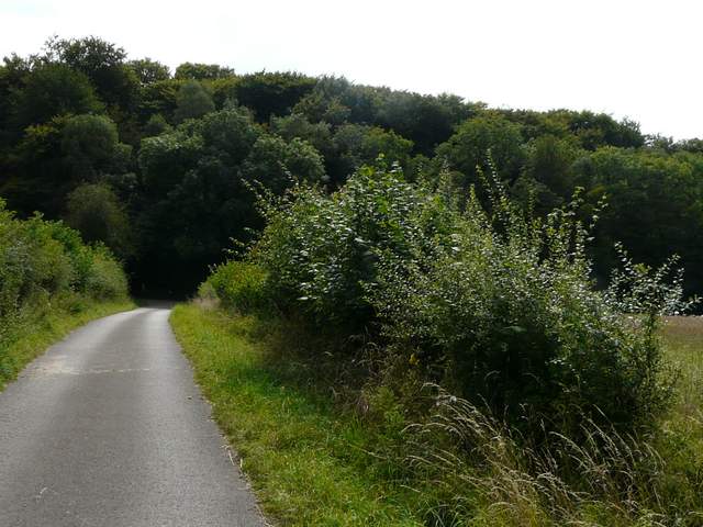
Strangely, I didn't really recognise this initial section of Bushes Lane, although I've walked it in both directions at least once before. It was a reasonably well-surfaced track between hedgerows (though muddy in one or two places), for some reason I remembered it as being more open with views over the fields on my right. I did remember the final bit, with garden fences close by on my left as it entered the village of Nettlebed. Bushes Lane ended on a road in Nettlebed, but I immediately turned right on a path that ran past some allotments (or possibly just extensions to the gardens on my left) to reach another road, almost opposite Nuffield Church.
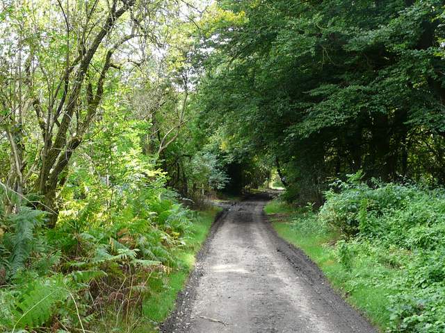
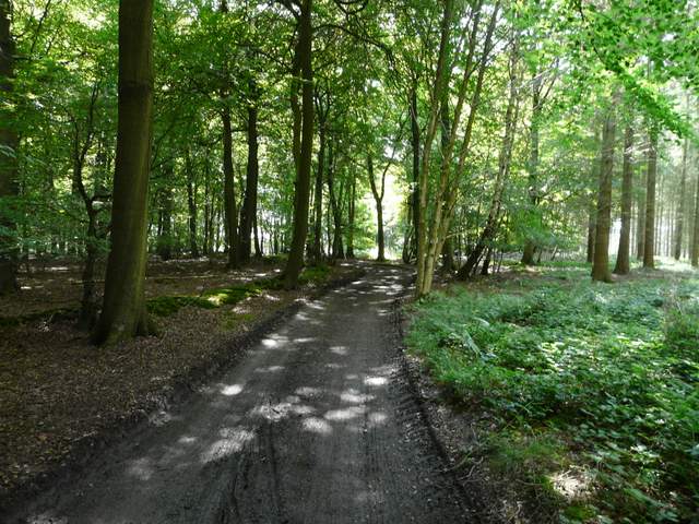
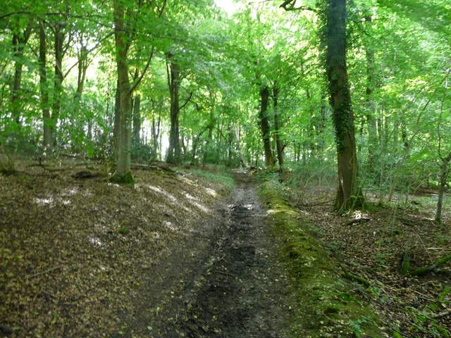
Bushes Lane
Bushes Lane
Bushes Lane
Bushes Lane, on the edge of Nettlebed
Archaeological finds have shown that the area around Nettlebed has been settled since Palaeolithic times. It has long been frequently travelled through, as it lies on the main route between Oxford and Henley. There is a tradition of pottery making here that is first recorded in the 9th century, with several clay pits in the vicinity, and brick making was recorded here as early as the 14th century. The last pottery closed in 1930, though there is one pottery kiln still standing in the village. The sand used for the first Flint Glass, a high-quality optical glass, was taken from Nettlebed in 1674 by George Ravencroft.
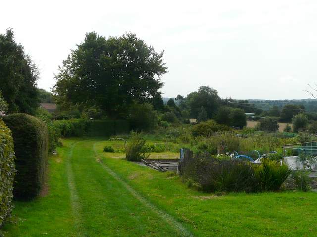
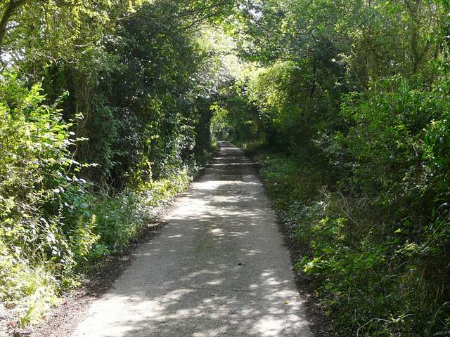
The footpath past the allotments at Nettlebed
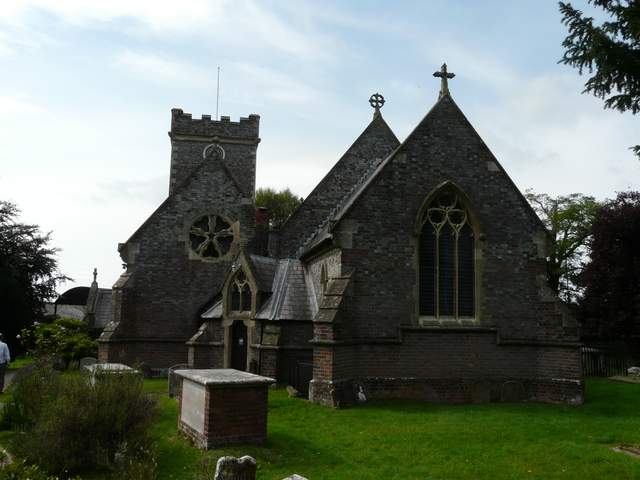
Nettlebed church
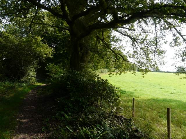
A footpath continued between the metal fence of the churchyard and the brick wall of a farmyard, but after a few yards it was obviously totally blocked by vegetation. So I went through the Lych-gate into the churchyard, followed the path round the back of the church and went through a black metal gate in the brick wall (I could have got here by just following the track by the wall, but that would have been a slight trespass). I now followed the surfaced track southwards, with pleasant views over cornfields to my right. After some distance the track turned sharp right beside a wood, dropping steeply downhill (I didn't remember this either), before turning left and following the edge of the wood less steeply uphill.
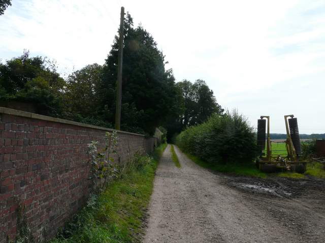
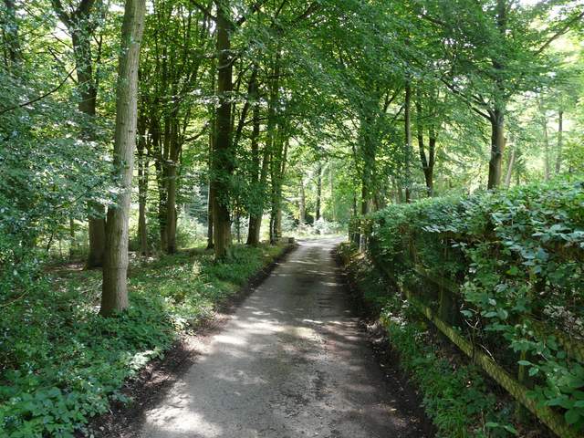
The start of the drive going south from Nettlebed
The drive going south from Nettlebed
The drive going south from Nettlebed
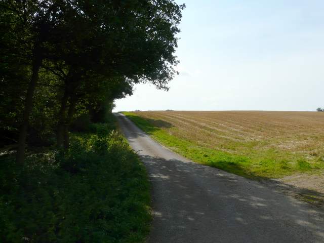
The drive going south from Nettlebed
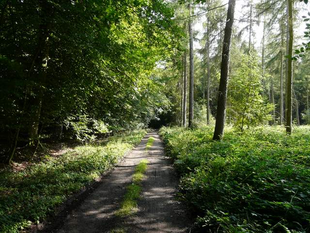
At the top of the slope I turned left on a wide track that ran through Nott Wood. Beyond the wood the track became a surfaced drive as it passed a couple of cottages. At the bottom of a short slope, I crossed two lanes in quick succession, then followed a bridleway that rose uphill through Bush Wood. This emerged onto a corner of a lane, where I continued straight ahead to reach the main road through Stoke Row. I turned right to return to my parked car.
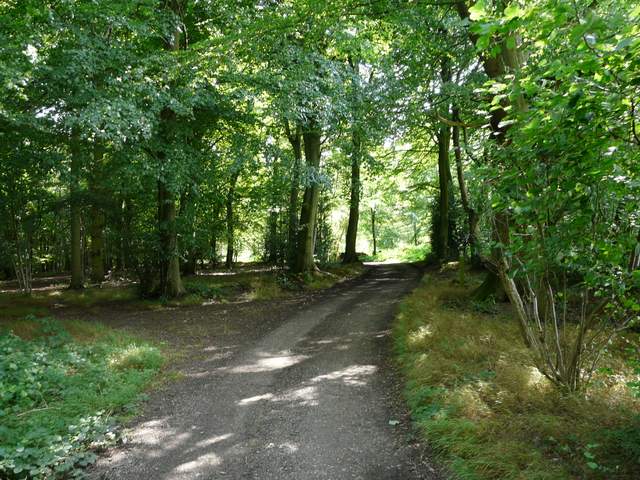
Nott Wood
Nott Wood
Nott Wood
The drive going south from Nott Wood
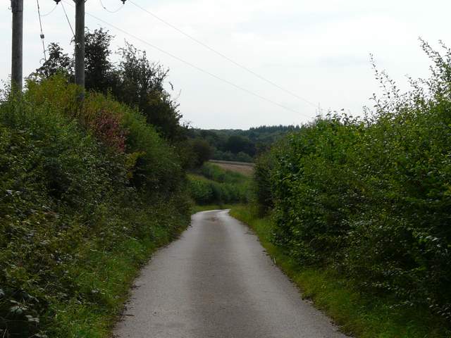
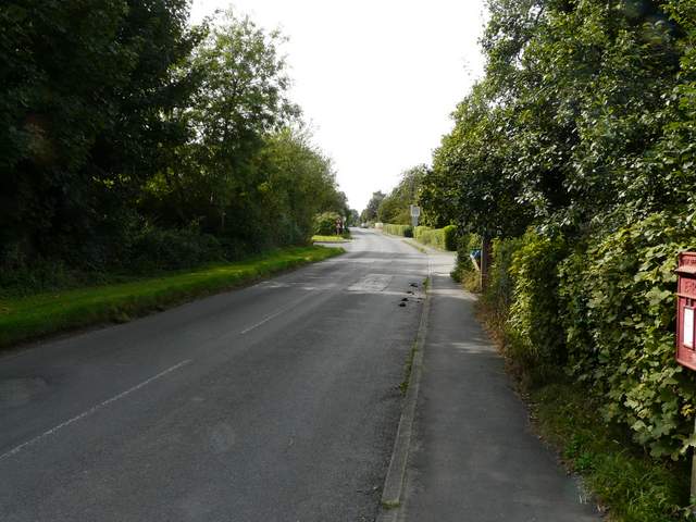
The lane from Nott Wood, approaching the two lane crossings
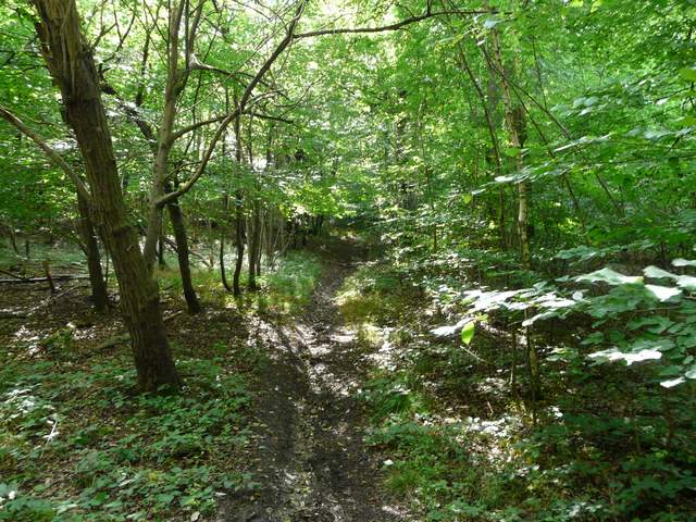
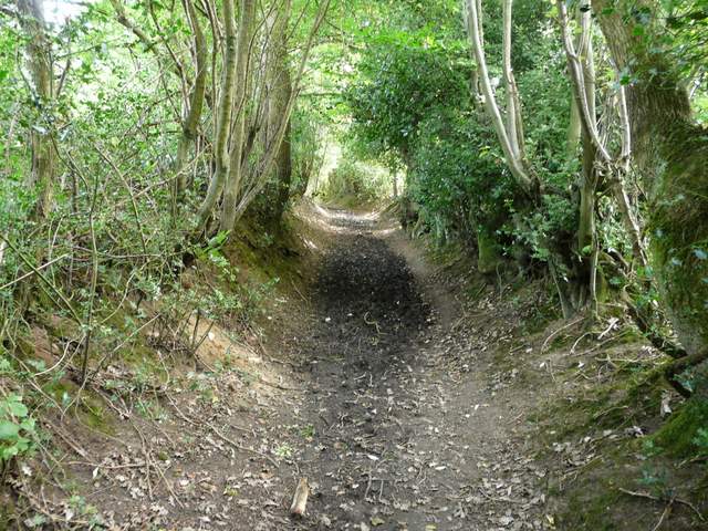
The path up through Bush Wood
The path up through Bush Wood
Stoke Row
After a very cloudy start the day had brightened up a bit and it was quite sunny in the afternoon. This was a pleasant walk, but if I planned the route again I think I'd try to make it a bit more varied - there was a lot of walking along byways or tracks between high hedges with very limited views. Apart from Goring, Stoke Row is the furthest place from my home that I start a walk in the Chilterns, so I don't go there too often (I did a total of 2.5 hours of driving today, for 4.5 hours of walking). Consequently I haven't done too many walks there and know the area less well than other parts of the Chilterns. I think I need to go back and do some more exploratory walks in the area sometime.