Pete's Walks - Four Hills walk (page 3 of 6)
From Whiteleaf Hill I continued along the Ridgeway path for another hundred yards or so before turning left along a bridleway. This ran along the southern edge of a beech wood, which sloped down steeply to my left - this area is marked The Hangings on the OS map, I'm not sure if that refers to the wood or the valley. I kept right at a fork, staying on the bridleway, and a little further on turned right at a path crossroads. I was now on another bridleway, on the western edge of Sergeant's Wood. After a few hundred yards I came to a bridleway crossing at the corner of the wood. Here I turned left, and followed a bridleway along the southern edge of Sergeant's Wood, with a field beyond the hedge on my right. On reaching the end of the field I turned right, a faint path leading through the north-western edge of Kingsfield Wood to reach a road by the hamlet of Green Hailey.
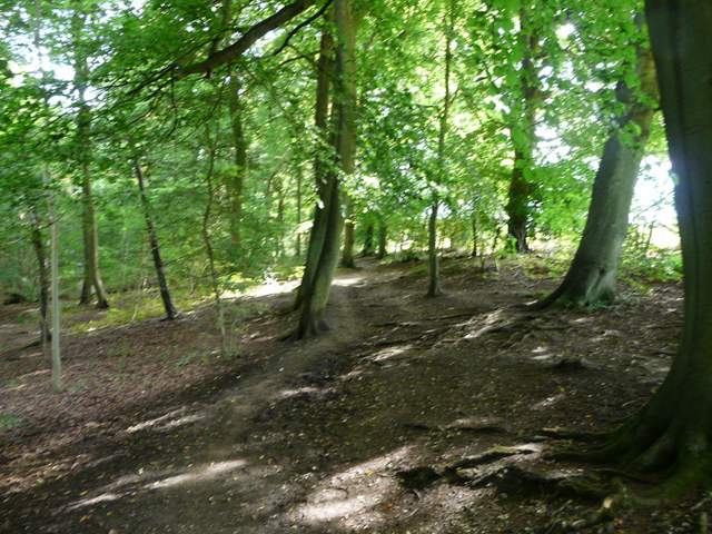
The bridleway along the top of The Hangings
The bridleway along the top of The Hangings
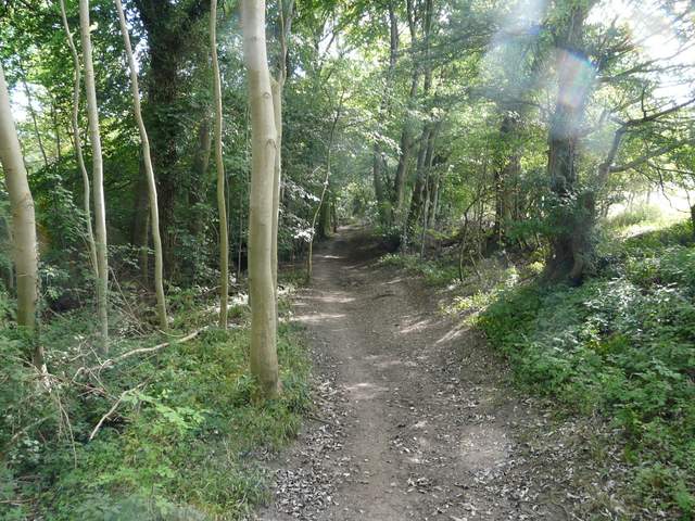
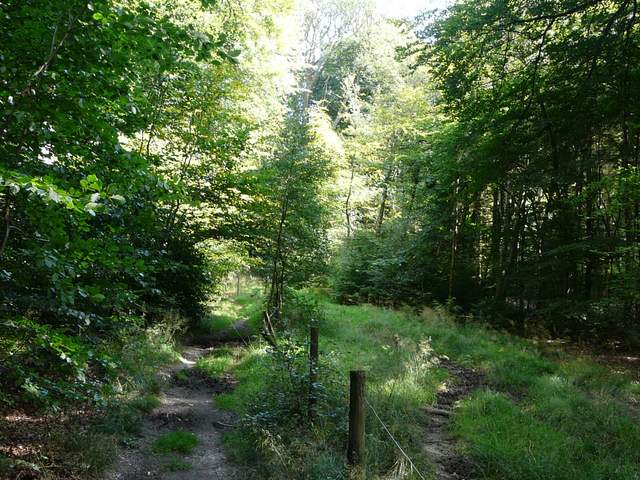
The bridleway along the north-western edge of Sergeant's Wood
The bridleway along the south-western edge of Sergeant's Wood
I turned left along the road. Normally I turn right onto a bridleway after about a quarter of a mile, but today I carried straight on along the road in the hope of seeing some Violet Helleborines (I've seen them here before, having been told about this location for them by someone on a website). I've not marked this slight variation from my usual route on my Google Map, as it involves an unnecessary half mile of road walking and has nothing to recommend it other than the possibility of seeing the Helleborines (a type of orchid) at this time of year. Anyway I did see one Violet Helleborine, long past its best, as I continued down the road for another half mile. I then turned right at a junction at Redland End. About three or four hundred yards down this lane I turned right again onto a footpath through Hillock Wood (where I spotted a Muntjac deer).
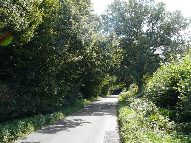
The minor road going southeast from Monks Risborough

The start of the diversion I took, continuing along the road
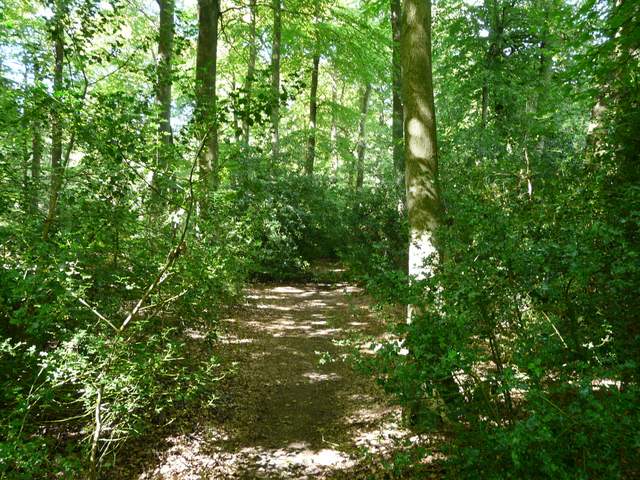
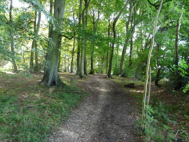
The path through Hillock's Wood
The path through Hillock's Wood
The path took me to the bridleway that I usually use, where I turned left and soon reached the hamlet of Parslow's Hillock. I turned right along the road here for a few yards, before turning left in front of the Pink and Lily pub (sadly it is currently 'To Let'). I followed Lily Bottom Lane for about half a mile, before turning left along a gravel drive by a cottage (this is just before Lily Bottom Farm, and for a few yards here I was on the route of the Chiltern Way). Behind the cottage's garden I turned right onto a footpath running just inside the edge of Monkton Wood. There was a lot of Holly growing here initially amongst all the beech trees. I seemed to finish this section of almost three quarters of a mile quicker than usual, before I turned left on a bridleway going northeast through the wood (actually I stayed on a path parallel to the bridleway, which is on the other side of a fence).
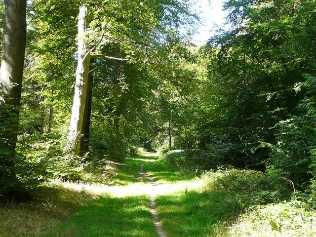
The bridleway to Parslow's Hillock
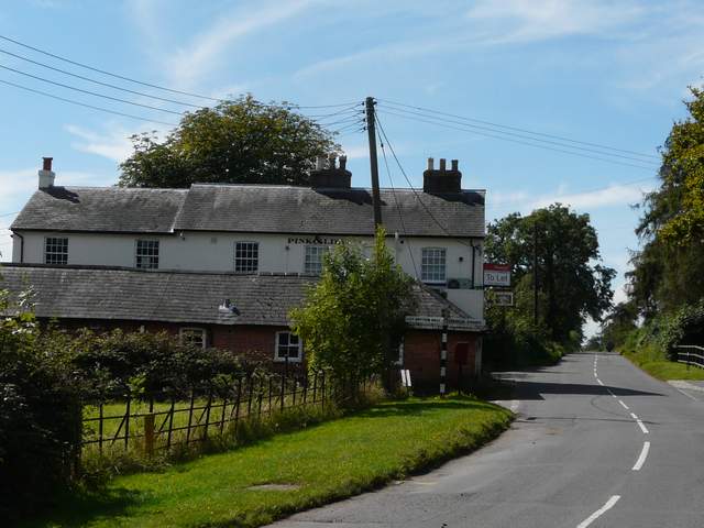
The Pink and Lily in Parslow's Hillock is currently to let
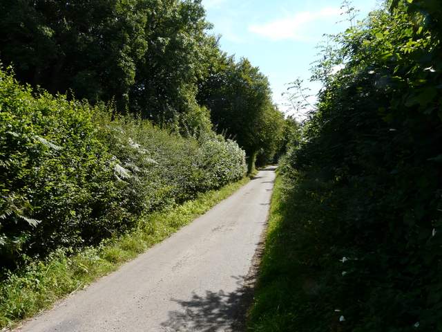
Lily Bottom Lane
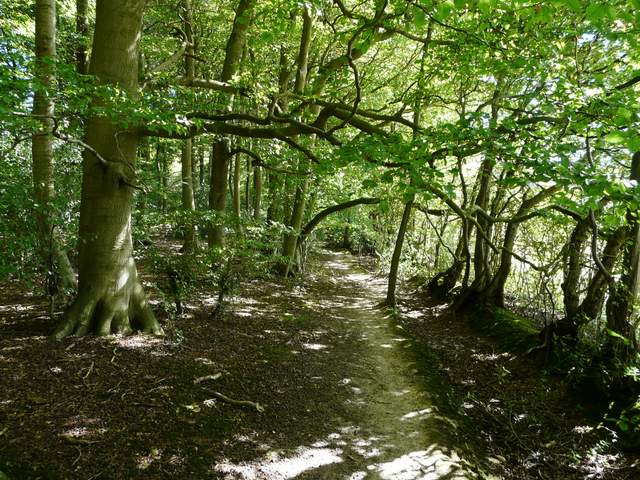
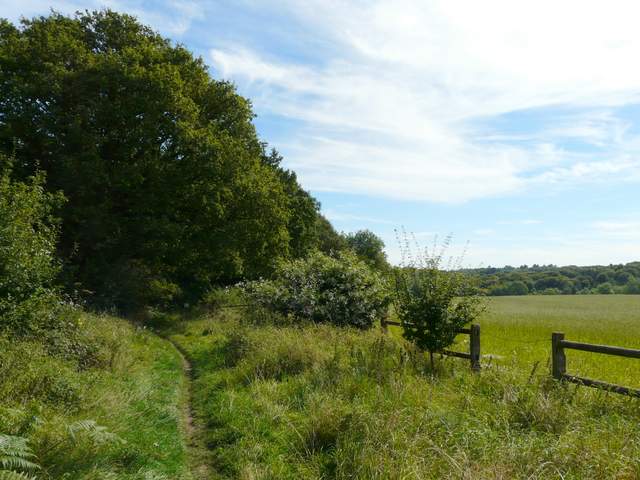
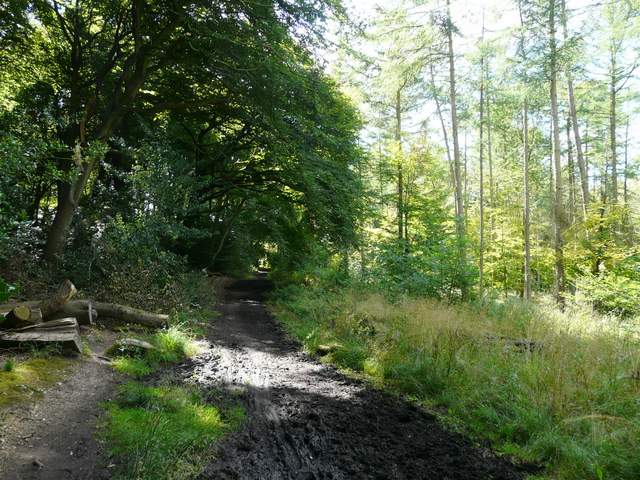
The path along the south-western edge of Monkton Wood
The path along the south-western edge of Monkton Wood
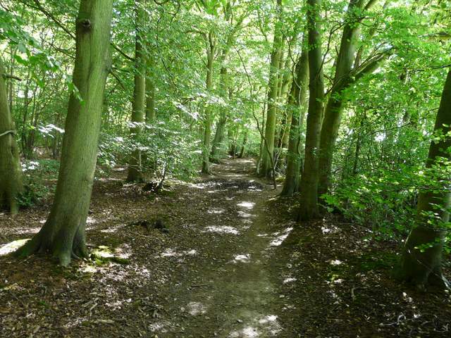
The path going northeast through Monkton Wood (path to left of fence, bridleway on right)
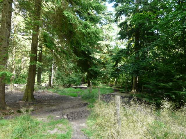
The path going northeast through Monkton Wood (path to left of fence, bridleway on right)