Pete's Walks - Four Hills walk (page 5 of 6)
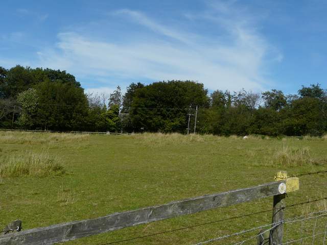
I took the bridleway that started opposite The Rising Sun (Update 22/10/18: sadly this has now closed). This stayed fairly level for about a quarter of a mile through the woods of Little Hampden Common, then dropped downhill through what was now Hampdenleaf Wood. At the bottom of a valley I turned left, with a wooden fence on my left, After a couple of hundred yards I went half-right over a stile and crossed an empty paddock diagonally to another stile, climbing across a hillside as I did so. The path continued across another paddock to a second stile near the top of the slope, and then I crossed a larger almost level paddock to reach a lane on the edge of the remote hamlet of Dunsmore.
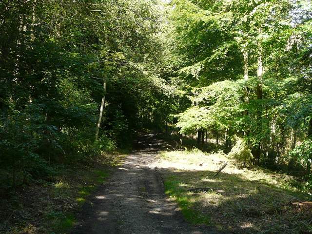
The start of the bridleway from Little Hampden to Dunsmore
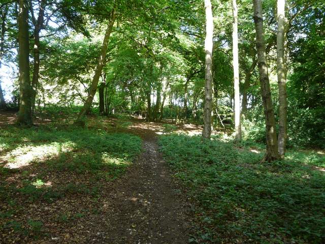
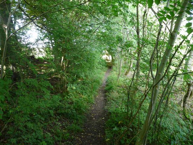
The bridleway from Little Hampden to Dunsmore
The bridleway from Little Hampden to Dunsmore
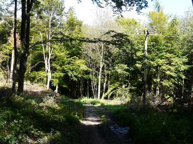
Start of the path from near Dunsmore Old Farm to Dunsmore
Approaching Dunsmore
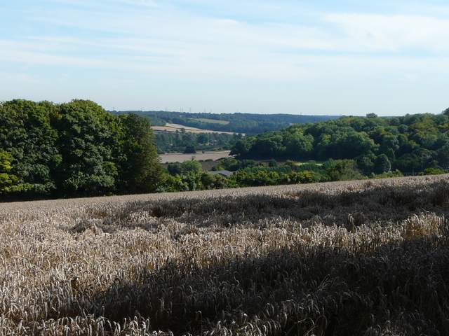
Looking back in the direction of Little Hampden, from the edge of Dunsmore
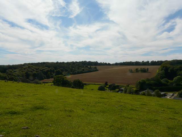
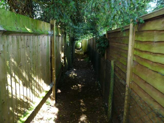
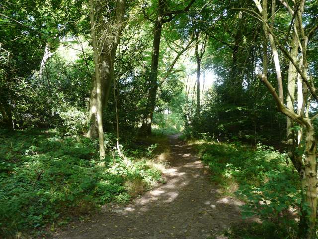
I turned right into Dunsmore, then turned left almost opposite the duck pond. I then took a footpath on the right - this soon came to a path T-junction where I went a few yards left before turning right. This path ran for some distance between wooden garden fences, then entered a wood (not named on the OS map) where it soon turned left (this part is not shown as wooded on the map, but I was certainly amongst trees). When I came to a fork in the path I kept to the left-hand fork (now definitely in a wood) and followed the path north-eastwards through the trees. On leaving the wood, the path followed a hedgerow on the left, with views ahead to the valley of The Hale, enclosed by Wendover Woods.
Near the start of the path from Dunsmore, going northeast to Coxgrove Wood
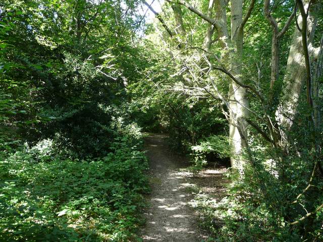
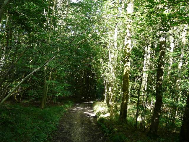
The unnamed wood on the way to Coxgrove Wood
The unnamed wood on the way to Coxgrove Wood
The unnamed wood on the way to Coxgrove Wood
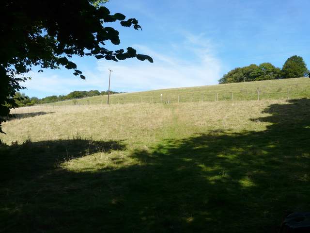
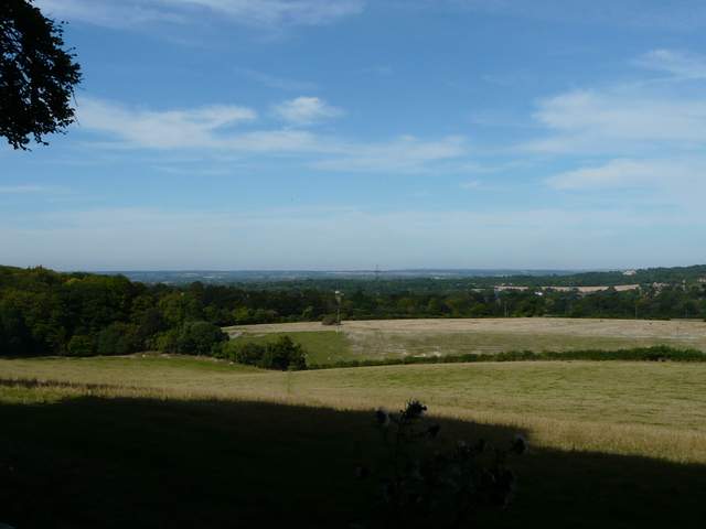
View from the edge of the wood, looking to the area around The Lee
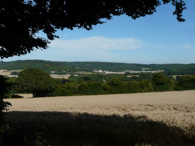
Looking ahead, towards the valley called The Hale, fringed by Wendover Woods
I then came to a path t-junction, where I turned left. I was soon back in trees again, which confused me as this is not what is shown on the OS map - I remembered really struggling here when I did this variation of the walk in the opposite direction. In fact, the path does follow the route shown on the map, but there is a section of wood to the left of the path that isn't shown on the map for some reason. The path ended at a bridleway (still in trees) where I went a few yards right and then took a path on what was now my left. This went north through a field of maize to reach Coxgrove Wood. Almost immediately I came to a crossroads of paths that wasn't shown on the OS map, but correctly surmised that I needed to go straight on. As I reached the far side of the wood, I got talking to an older lady walking her small dog. We continued chatting as the path dropped downhill half-left across a large pasture (it's been an arable field when I've been here before). The inhabitants of the field, some young Jersey cows, came over and followed us closely, obviously thinking we'd come to feed them. They were remarkably docile, smelling my rucksack and my boots (rather them than me!) and allowing me to stroke them. The lady and I continued chatting as we passed through an empty pasture and then walked between the wooden fences of paddocks to reach Bacombe Lane, where we turned left (I learned that it's pronounced Back'm rather than Bake'm, coming from "Back of Coombe Hill").
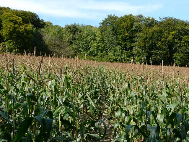
The path through the Maize field just before Coxgrove Wood
Coxgrove Wood
The path from Coxgrove Wood to Bacombe
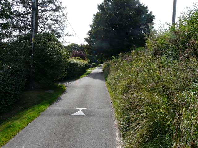
Bacombe Lane