Pete's Walks- Chenies and Chalfont St Giles (page 1 of 5)
If you are considering walking this route yourself, please see my disclaimer. You may also like to see these notes about the maps and GPX files.
Google map of the walkDownload GPX file of the walk
I did this roughly 11.9 mile circular walk on Tuesday, 13th November 2012. It was Walk 8 of my Chiltern Chain Walk, but done in the opposite direction (anti-clockwise).
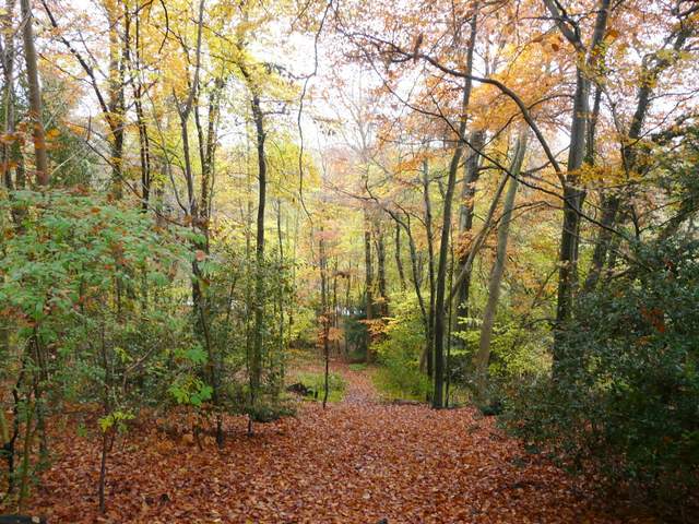
I started walking about 10:15am and followed the private drive from the centre of Chenies towards the church and Chenies Manor. At the entrance to Chenies Manor a footpath went right, initially between the tall brick walls of the grounds of the manor house, on the left, and the churchyard. The path then dropped steeply through a beech wood, emerging at a road junction where the lane ahead took me into Chenies Bottom.
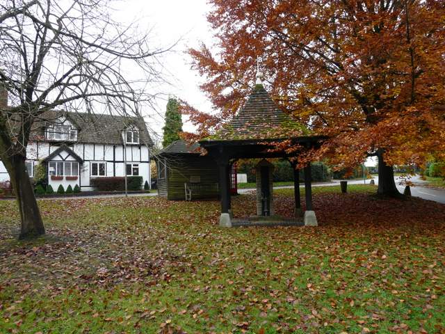
Old pump on the green, Chenies
Chenies (originally Isenhampstead Chenies) derives its name from Thomas Cheyne, shield-bearer to Edward III, who was given the manor in 1326. There was once a royal palace here, that both Edward I and Edward III used. There were once several paper-mills in the village, powered by the river Chess.
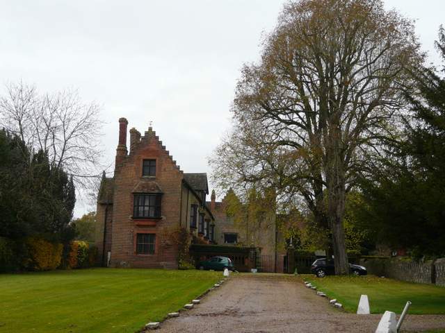
Chenies Manor
Chenies Manor was built around 1460 by Sir John Cheyne, and in 1494 was inherited by the Earl of Bedford. It was restyled in 1560 by Francis Russell, 2nd Earl of Bedford. Both Henry VIII and Elizabeth I stayed here. It remained in the Russell family until 1954, and there is a Bedford chapel in the adjacent church of St Michael. The house is open to the public at certain times, and has a mediaeval well, a priest hole and a dungeon. It is noted for its gardens, which include two mazes.
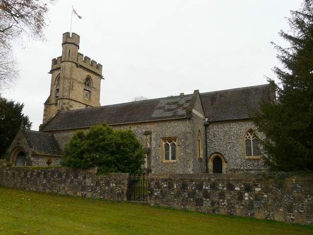
Chenies church
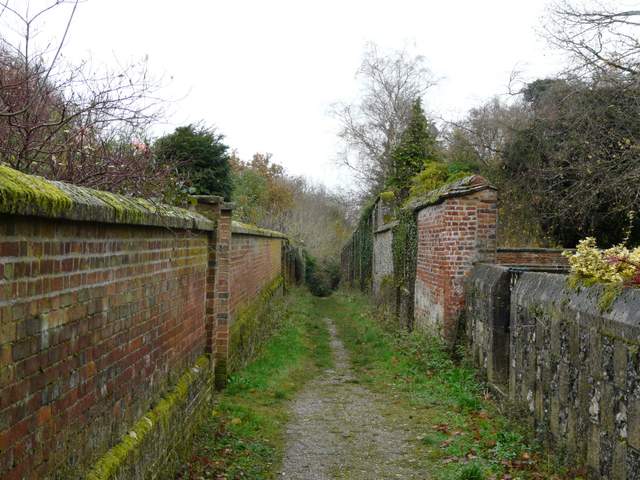
The path starting between Chenies Manor (left) and Chenies church
The path descending to Chenies Bottom
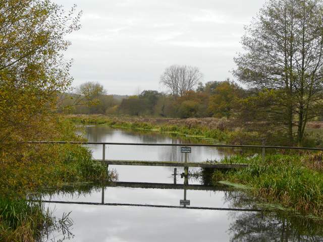
Looking west along the river Chess, Chenies Bottom
Looking east along the river Chess, Chenies Bottom
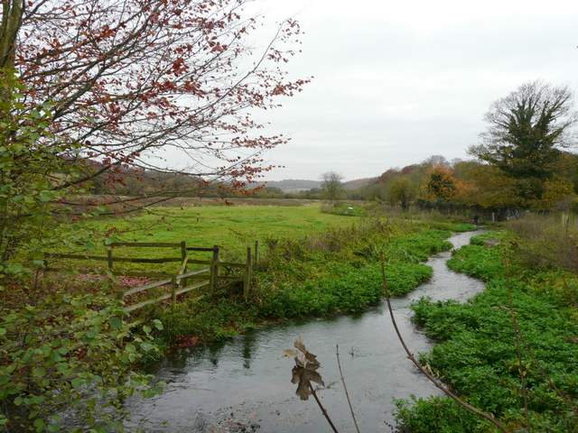
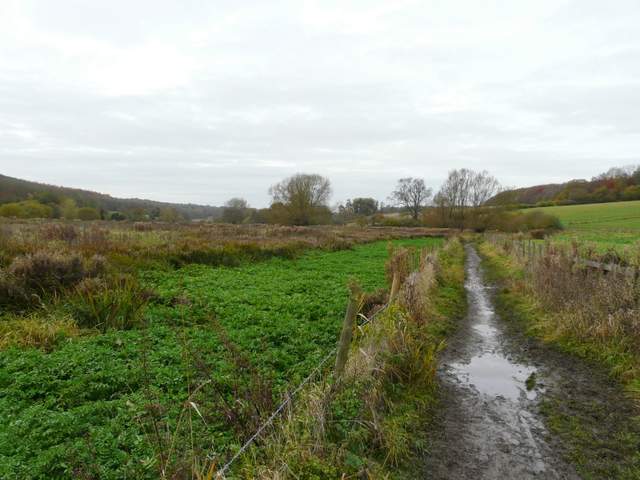
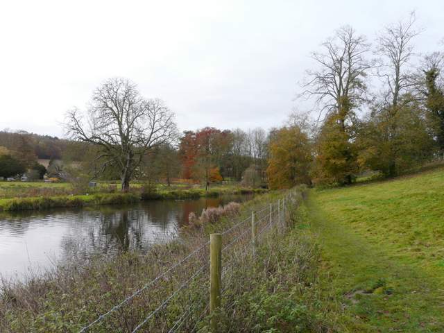
Having crossed the attractive river Chess, I turned left on a path starting at Mill Farm, and followed the river valley westwards. The path initially ran between fences, then hedges, before entering a long narrow meadow or pasture. It continued alongside a hedge in the next larger pasture, with the scant remains of the old church of Flaunden in an area of bushes to the left (a noticeboard gives the history of the church, which was finally abandoned in the 19th century due to its proneness to flooding). A separate tomb, for a member of the Liberty family and his wife, was in the hedgerow on my right at some point (allegedly, he didn't want his bones confused with anybody else's on the day of resurrection!). The path eventually reached a lane on the edge of the village of Latimer.
The path going eat from Mill Farm, Chenies Bottom
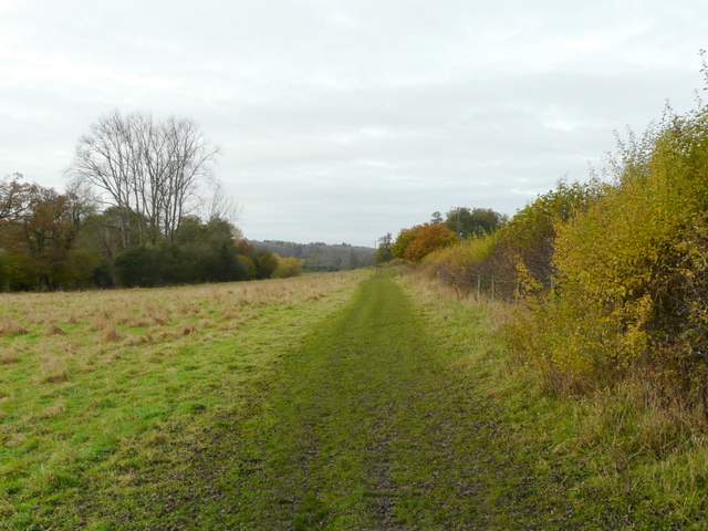
The path continuing towards Latimer
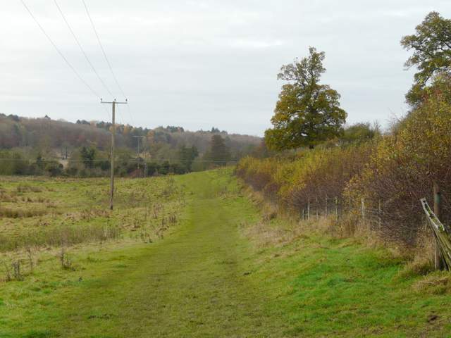
The path continuing towards Latimer
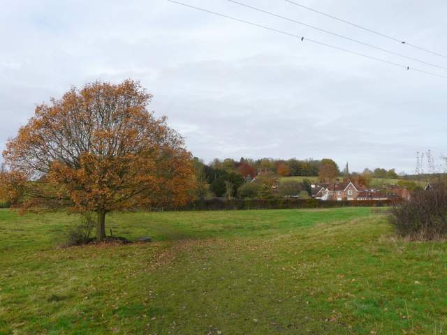
Approaching Latimer
I took the left-most of the two paths that started across the lane, which soon led me close the broader of two parallel sections of the Chess. I then turned left to cross bridges over both parts of the river, with Latimer House now on the hillside behind me. To my right was a weir, surmounted by a statue.
The path continuing across the lane into Latimer
The path along the river Chess near Latimer House
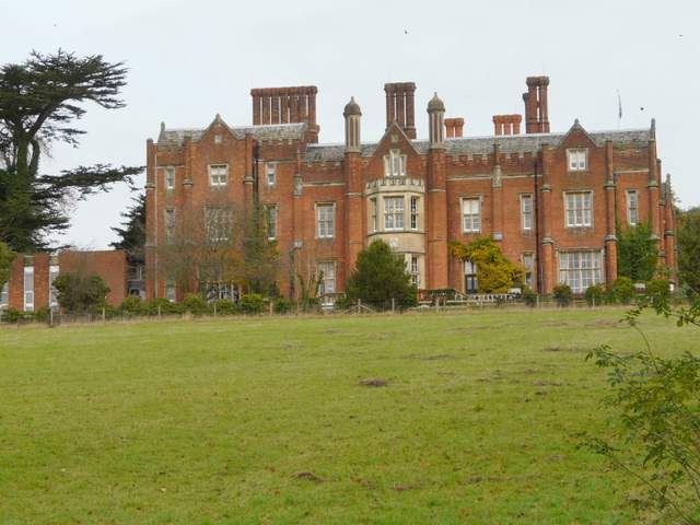
Latimer House
The current building called Latimer House dates only from 1838 after a disastrous fire gutted the previous building. That had been acquired by Sir William Cavendish in 1615, and had remained in his family for almost 350 years. In the late 18th century, houses were removed from the valley and a lake created in order to improve the view from the house. From 1847-1971 the house was home to the military Joint Service Defence College, and it is now a conference centre.
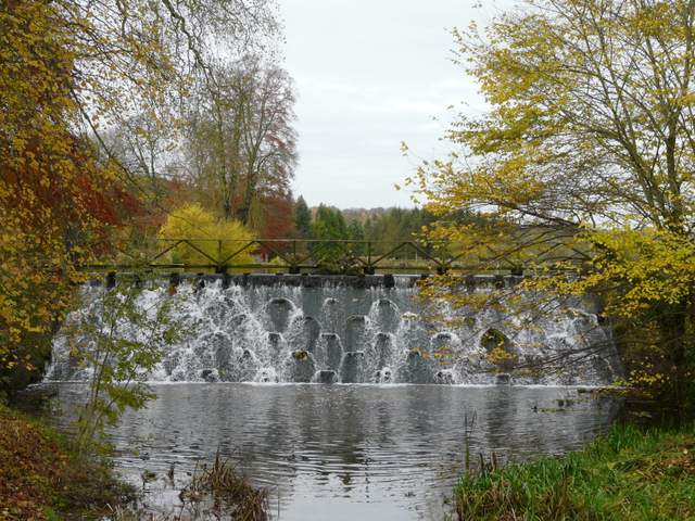
Weir, below Latimer House