Pete's Walks- Chenies and Chalfont St Giles (page 3 of 5)
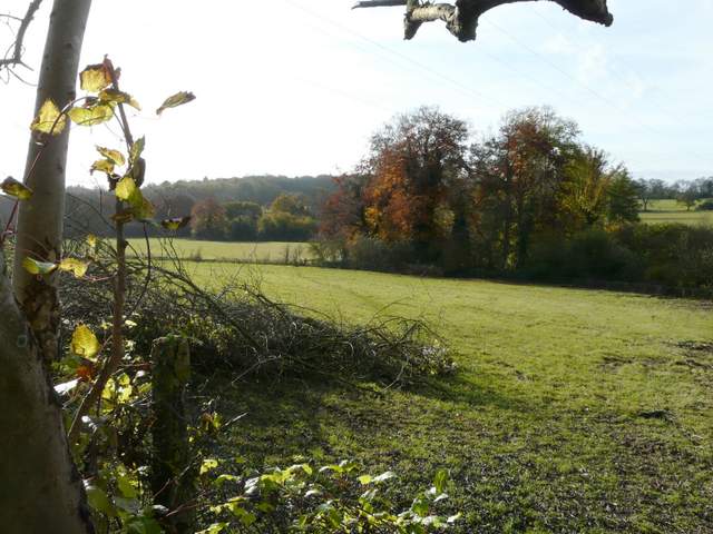
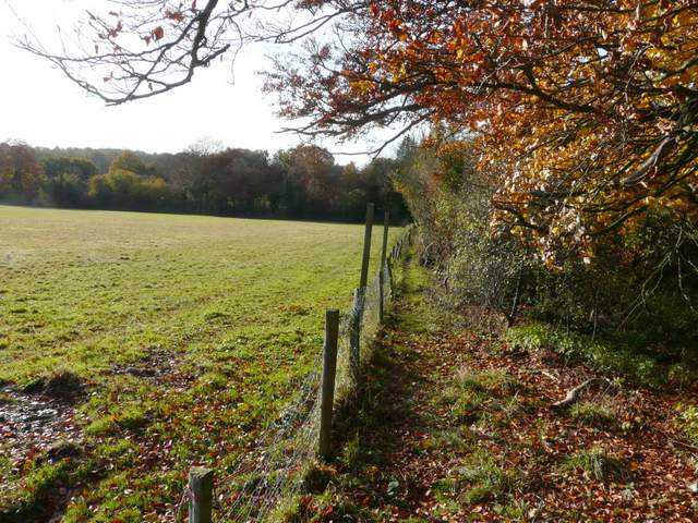
The path went straight through a gap in the hedge and turned right along the far side, continuing slightly south of east through a sequence of small paddocks or meadows, passing a large white 'Works' on the left. Across Finch Lane, a path continued alongside a tall hedge on my left, gradually curving slightly right with views over the large field of stubble on my right to the Misbourne Valley east of Amersham Old Town.
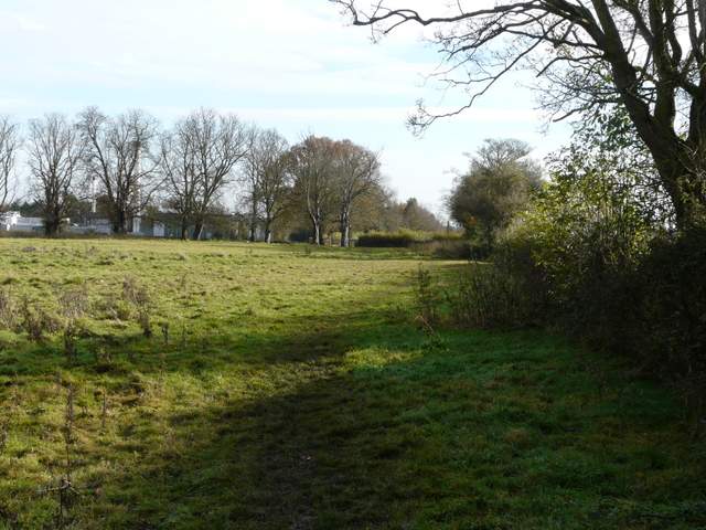
The next pasture ...
... and the next
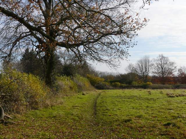
The path from Finch Lane curving right towards Coke's Farm
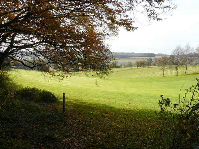
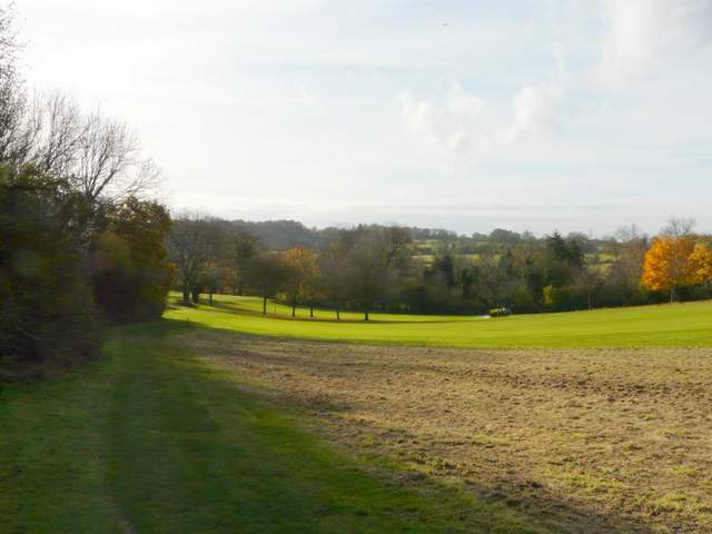
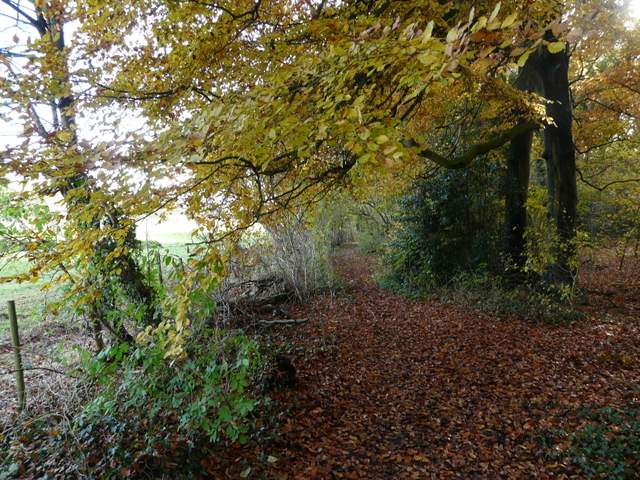
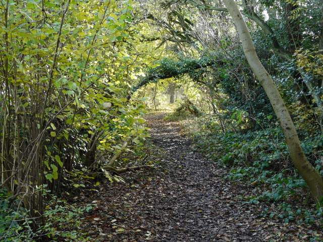
At the end of the path, I followed a short drive to a road, where I turned right. When the road bent right, a footpath on the left led between garden fences to the edge of a golf course. The path continued ahead across a section of the golf course, then entered the corner of a wood where it almost immediately came to a path junction. I turned right, and followed the path for about half a mile, just inside the wood with the golf course to my right. Eventually a thin pole with chalk arrows on it indicated where the path went right to enter the golf course (a path seemed to continue half-left beside some white-topped posts at this point, presumably marking 'out of bounds' rather than a right of way). The path now crossed part of the course, ran beside an area of trees on the left, then crossed more fairways to reach a gate and the A413 main road.
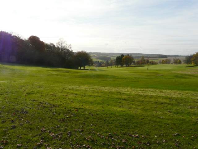
The golf course, from the start of the path across it
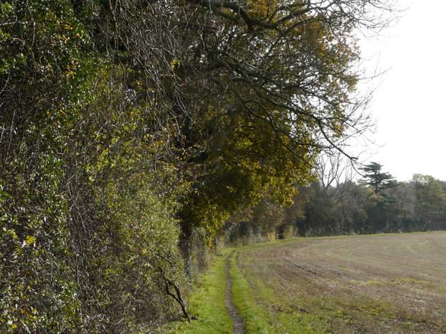
The golf course from the path along the edge of Pollards Wood
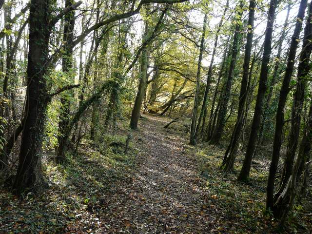
The path along the edge of Pollards Wood, next to the golf course
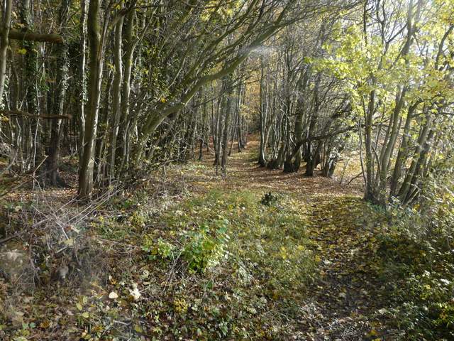
The path along the edge of Pollards Wood, next to the golf course
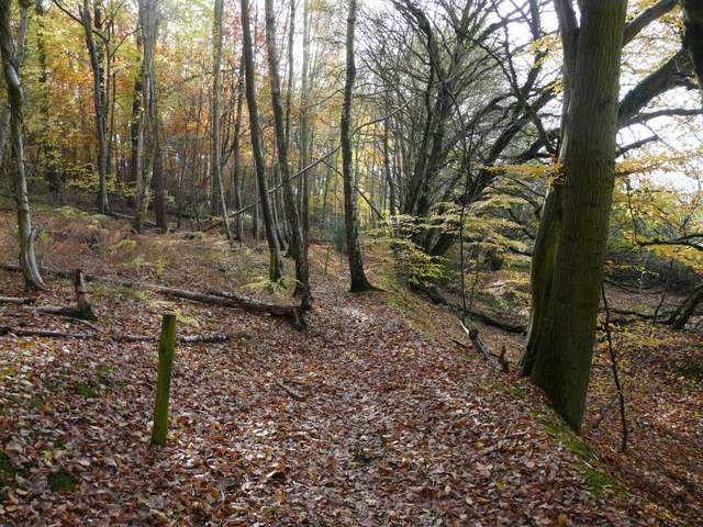
The path along the edge of Pollards Wood, next to the golf course
The path crossing the golf course
Across the road, a footpath led across a meadow to a narrow footbridge over the river Misbourne, the path then continuing between a wire fence and a tall hedgerow on the right. I then turned left along a path running through a belt of trees, heading southeast towards Chalfont St Giles - this was a very familiar path as it's also part of the South Bucks Way, the Chiltern Heritage Trail and, further on, the Chiltern Way.
The path across the meadow or pasture across the A413
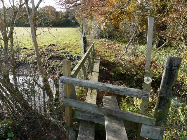
Rather narrow bridge across the river Misbourne
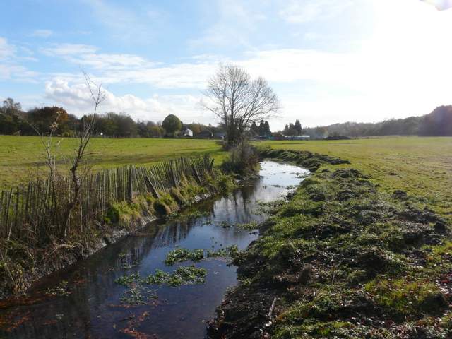
The river Misbourne, looking south-southeast towards Chalfont St Giles
The path continuing west from the river Misbourne
The bridleway going south-southeast to Chalfont St Giles, near Misbourne Farm
The bridleway going south-southeast to Chalfont St Giles