Pete's Walks- Chenies and Chalfont St Giles (page 5 of 5)
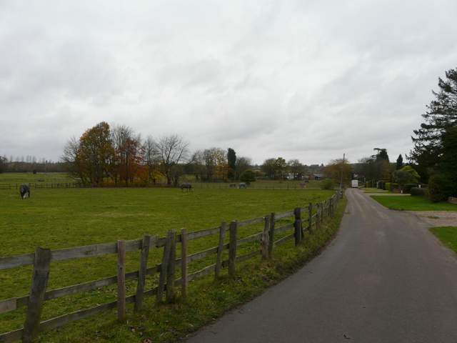
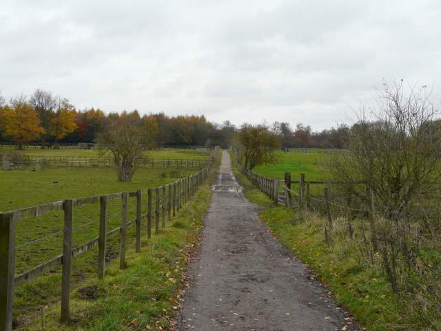
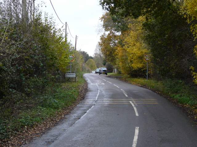
The path ended at a corner of a bridleway, where I turned left along the edge of Philipshill Wood - I was now on part of Shire Lane, part of the boundary between Buckinghamshire and Hertfordshire. I paused for lunch along here, before continuing on. The bridleway became a surfaced lane, Old Shire Lane, that led to a road junction in Chorleywood West where I continued ahead along a road, Shire Lane. After a short distance I turned left into Chalfont Lane, another residential street, and at its end I continued ahead along a farm drive with paddocks on my left.
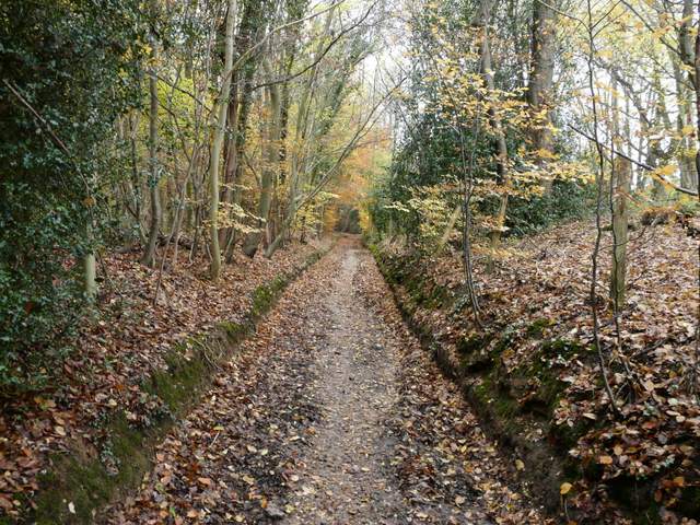
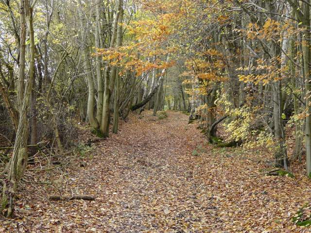
Shire Lane going north beside Philipshill Wood
Shire Lane going north beside Philipshill Wood
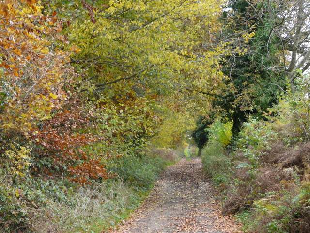
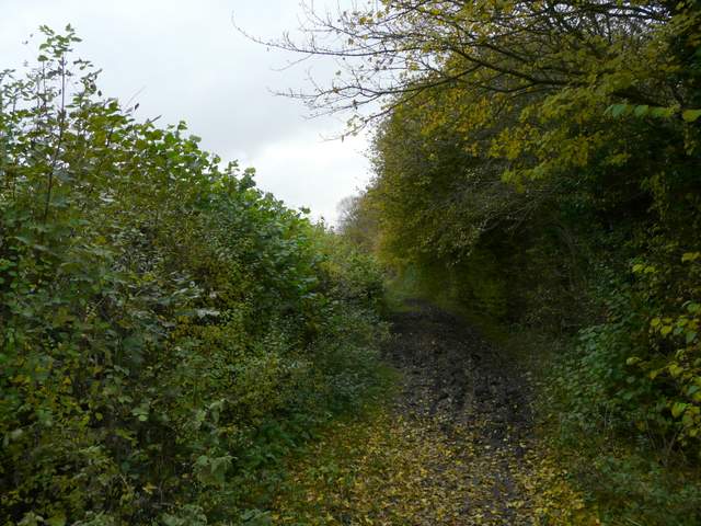
Old Shire Lane
In 2004 a government survey of 32,482 neighbourhoods concluded that Chorleywood West had the highest quality of life in England, based on thirty seven criteria (the other top nine locations were also in the London Commuter belt, so as far as I’m concerned it’s yet more proof that there are ‘Lies, damn lies, and statistics!’). There was a Roman village at Chorleywood, with a villa thought to lie under the M25 here. In Saxon times it grew into a major town, with the border of Wessex and Mercia running through it. The town is famous for its Quaker connections – non-conformists flocked to the town, promised sanctuary by the towns inhabitants. William Penn settled the Pennsylvania colony with people from Chorleywood, Rickmansworth and the surrounding part of Buckinghamshire, though this had disastrous financial results for the town. It boomed again in the 19th Century through the paper and printing industries. The coming of the Metropolitan Line in the 1890’s led to an incredible population rise, which continued until the 1960’s. Sir John Betjeman described Chorleywood as “essential Metro-land”.
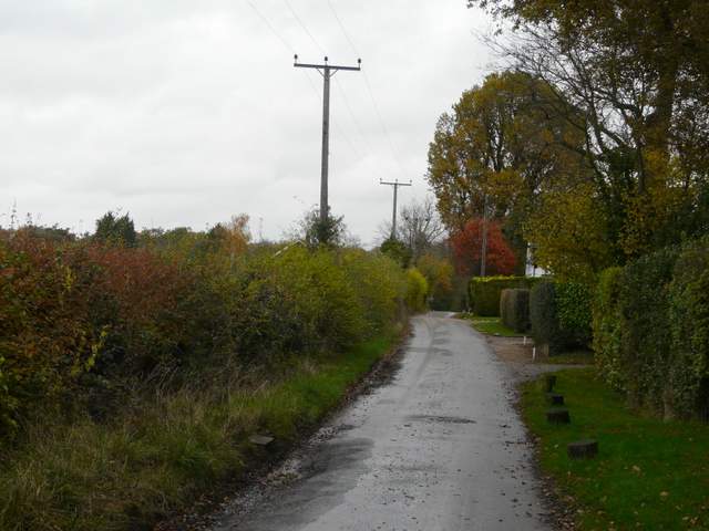
Chalfont Lane
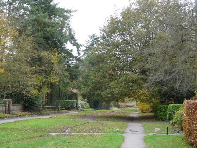
Farm drive, Chorleywood West
Before reaching the farm, I turned right and followed a bridleway going north, with more paddocks either side. The bridleway continued on through Carpenter's Wood, initially a mixture of trees but further on a more typical Beech Wood.
Bridleway between paddocks, heading to Carpenter's Wood
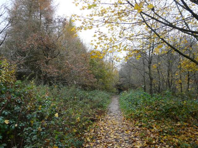
Carpenter's Wood
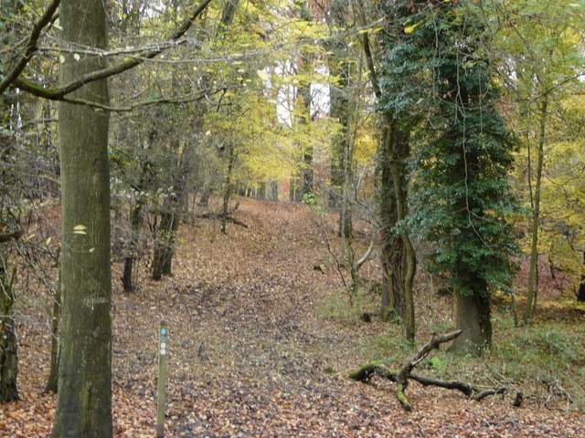
Carpenter's Wood
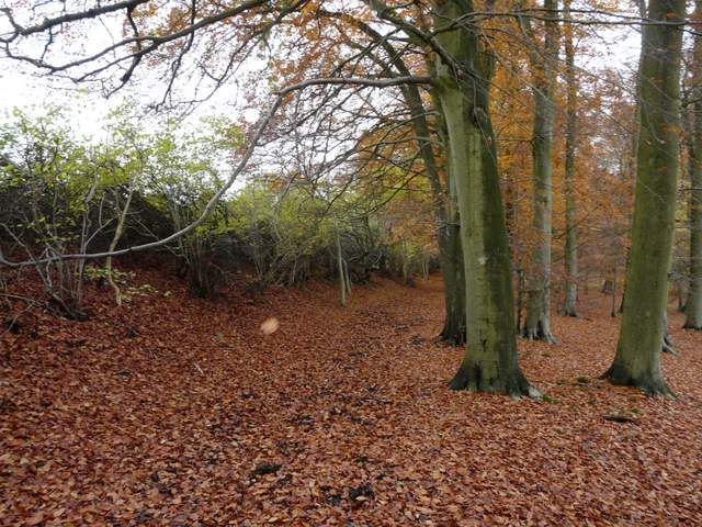
Carpenter's Wood
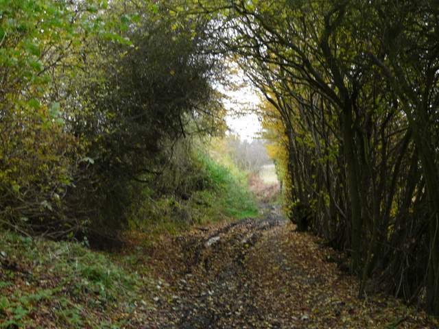
The bridleway went under a railway bridge (I was 'run over' by a train as I passed through it) and continued between hedgerows either side. It soon passed the small Halsey's Wood on the right. Eventually it reached the A404 main road, where I crossed over and followed a lane ahead to return to the centre of Chenies.
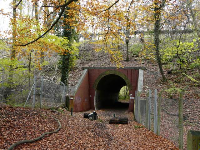
Railway bridge
The bridleway continuing north
The bridleway continuing north, past Halsey's Wood
The bridleway continuing north
The lane into Chenies
Unfortunately it stayed grey and almost overcast for much of the day, so the route wasn't seen at its best, despite the attractive autumn foliage on the trees. The paths throughout were muddy, which meant the walk was more tiring than it should have been. Parts of the route were perhaps a little too over-familiar for me (especially between Chalfont St Giles and Chenies, but there is almost no scope for varying this section as it is hemmed in by so many built up areas), but the section between West Wood and the river Misbourne I'd not done for over four years and I enjoyed doing that section again (that also happened to be during the sunniest part of the day).