Pete's Walks- Buckland Common and Chartridge (page 4 of 5)
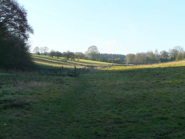
Beyond Hawridge Lane, the path continued along the valley bottom through a couple more pastures, now with the hedgerow back on the left. The path then ran through a lengthy section of woods and scrub, finally passing a smallholding and reaching a road. Across this, a path continued through a very muddy enclosure next to a barn with some bullocks in it, then ran through some sheep pastures, following a fence on the right. At a path junction, I looked back to see the top of Cholesbury Windmill above the trees behind me. I then turned right, following a path uphill to reach the village of Cholesbury.
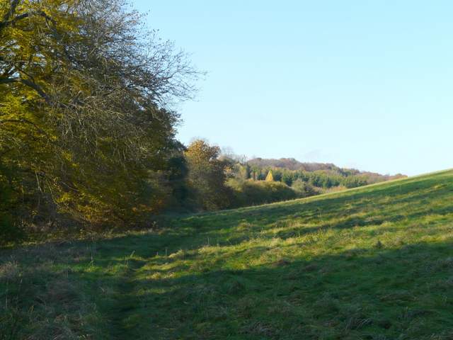
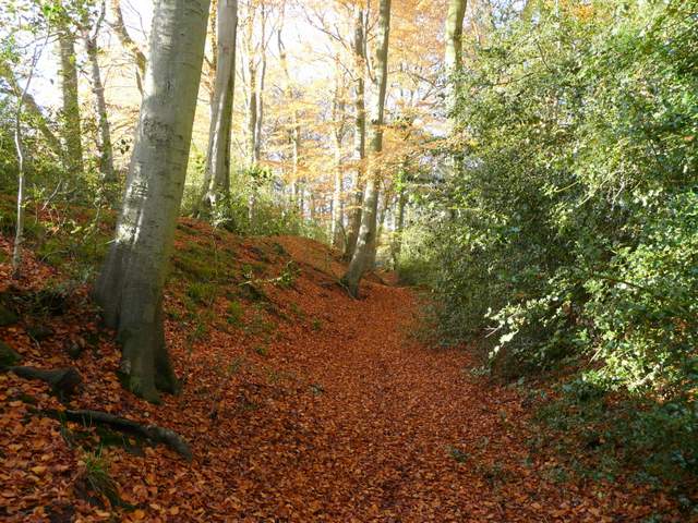
The path going northwest through White Hawridge Bottom
The path going northwest through White Hawridge Bottom
The path going northwest through White Hawridge Bottom
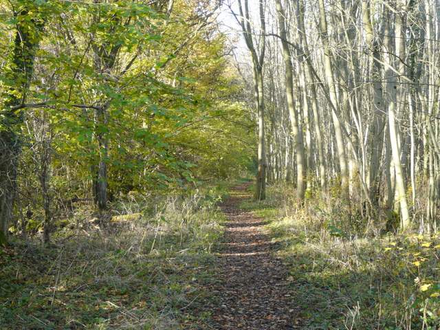
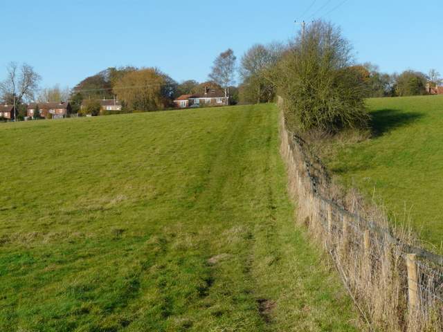
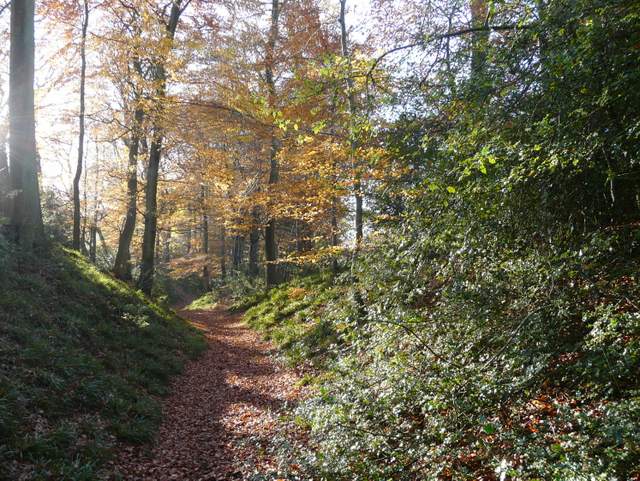
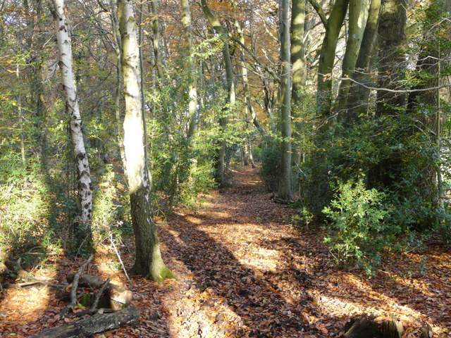
The continuation of the path, south of Cholesbury
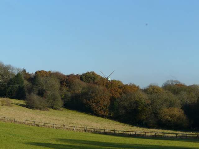
Looking back to Cholesbury Windmill
Cholesbury Windmill, originally built as a smock mill in 1863 but rebuilt as a tower mill twenty years later, is a private residence with an interesting history. It was associated with the Bloomsbury Group around the time of the First World War and a number of well-known artists of the period frequented it. According to Wikipedia, "Gilbert Cannan who rented the mill for a time and whose wife Mary was previously married to J.M Barrie, the author of Peter Pan, invited his friends including D.H.Lawrence, Katherine Mansfield and John Middleton Murry to stay there. The artist Mark Gertler, also lived there for a time and painted a famous picture of the mill now on show in the Ashmolean Museum in Oxford with Cannan and his dogs in the foreground. One of the dogs is understood to have been the model for the original illustrations of Nana the dog in the first edition of Peter Pan."
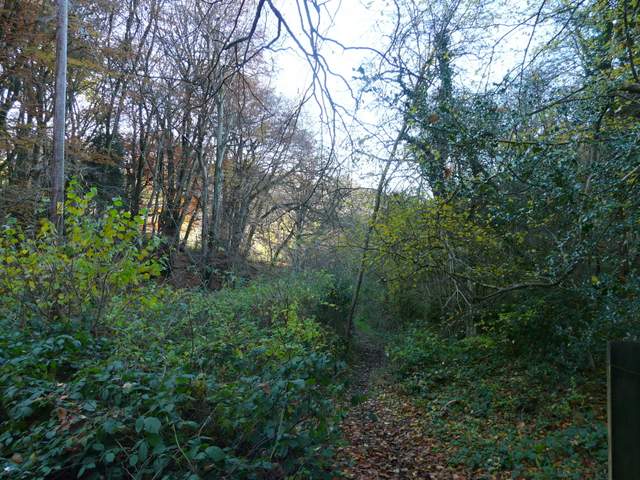
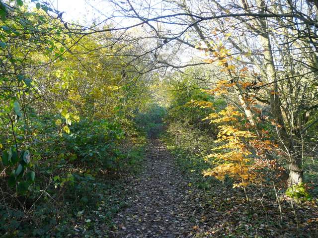
The path to Cholesbury
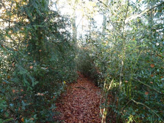
I went a few yards right, then took a path opposite, next to the village school. This brought me to the paddocks within the embankments of the iron-age hill fort of Cholesbury Camp. I crossed straight across to a stile on the far side, where I stopped for lunch. I then did the circuit of the ditch and embankments of this impressive ancient monument. A path went left, along the outer bank, curving left to reach a gate close to St Lawrence's church. I went left, passing left of the church to a gate. Two ponies followed me as I went right to another gate. Here I retraced my earlier steps a few yards towards the school, before turning left. A stile led into a small enclosure, and another left it on the right. The path now ran some way through holly bushes with the large ditch on my right. It then dropped down and followed the ditch for some distance back to where I'd stopped for lunch.

Path across the paddocks within Cholesbury Camp

Ditch and embankments, Cholesbury Camp
Cholesbury Camp is an Iron Age hill fort, one of the best preserved in the Chilterns. A large ditch between two high banks runs almost the complete circuit of the oval enclosure, with a second ditch and further banks visible in the west and south-east. The ramparts are now crowned by a belt of beech trees, except in the southernmost section where the houses and gardens of Cholesbury have encroached. The camp is thought to have been in use from between about 300BC to 50 AD, but excavations have shown that it was only ever sparsely populated, and perhaps only used in times of danger. St Laurence’s church was built within the enclosure in the 13th century, but was much modified in the 1870’s.
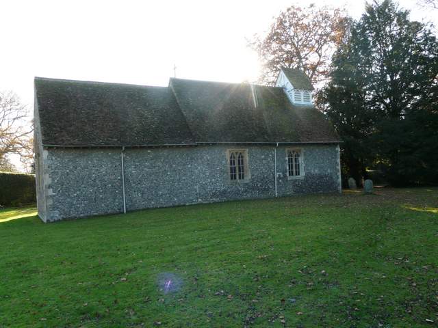
The church of St Lawrence, within Cholesbury Camp
When I first walked past Cholesbury Church a few months ago as I was exploring possible routes for the Chiltern Chain Walk, I got talking to the church warden here, who very kindly told me some of the village history and showed me an interesting grave in the churchyard. David Newton had served as a Royal Marine on HMS Revenge at the Battle of Trafalgar and lived to the ripe old age of 99, but he was in great poverty towards the end of his life until the vicar approached the Admiralty on his behalf and he was awarded a pension. There was a lot of poverty here in the 1800’s, and Cholesbury became the first parish in the country to go bankrupt, because it could not afford to support the poor of the parish.

Footpath across the paddocks within Cholesbury Camp
The path round Cholesbury Camp, here in the south-eastern section
The path round Cholesbury Camp
The path round Cholesbury Camp
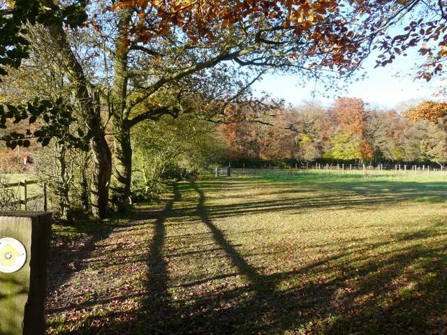
I now turned right and followed a path through an area of bushes then a beech wood. The path then crossed a paddock to another wood, before turning right just inside the edge of Drayton Wood, with paddocks and then a stables to my right, to reach Shire Lane besides a house called 'Montana'.
The path going northwest from Cholesbury Camp

The path going northwest from Cholesbury Camp
The path going northwest from Cholesbury Camp
The path along the south-eastern edge of Drayton Wood