Pete's Walks- Bledlow Ridge and Lacey Green (page 1 of 5)
If you are considering walking this route yourself, please see my disclaimer. You may also like to see these notes about the maps and GPX files.
Google map of the walk Download GPX file of the walk
I did this roughly 13.4 mile circular walk on Saturday, 15th December 2012. It was Walk 13 of my Chiltern Chain Walk, but done in the opposite direction (clockwise).
I started walking about 10:05am, having parked in my usual place in a side street off the main road through Bledlow Ridge. I headed northwest along the road until, maybe a hundred yards short of what is now The Boot public house, I turned right along a drive. This was part of the Chiltern Way, which continued along a footpath from the end of the drive, with a meadow across the wire fence on my left. The path continued between fences, soon with views on my right across the Saunderton Valley towards Lacey Green, where I was headed. There were a few small pigs in an enclosure in the field on my right. I then had garden fences on my right, before I crossed Chapel Lane and continued along a broader track with another meadow to my left and trees on my right - I spotted my first Fieldfares of the winter along here. The path then went up and down a small dip in an empty pasture or paddock (another view right to Lacey Green), before running between fences again to reach the hamlet of Rout's Green.
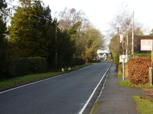
The road through Bledlow Ridge
Bledlow Ridge is a long linear village straddling the road between West Wycombe and Chinnor, situated at a high elevation along the hill of the same name. Originally a hamlet in the parish of Bledlow, it only became a separate parish in 1868, when the chapel of St Paul was built. It is now a haven for London executives and others of the wealthier social classes. It once boasted an impressive windmill, a post-mill built in 1820. This was allowed to decay during the early part of the 20th century and was eventually demolished.
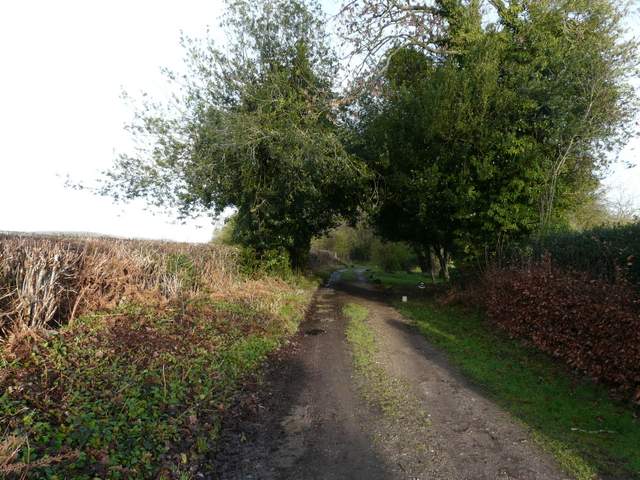
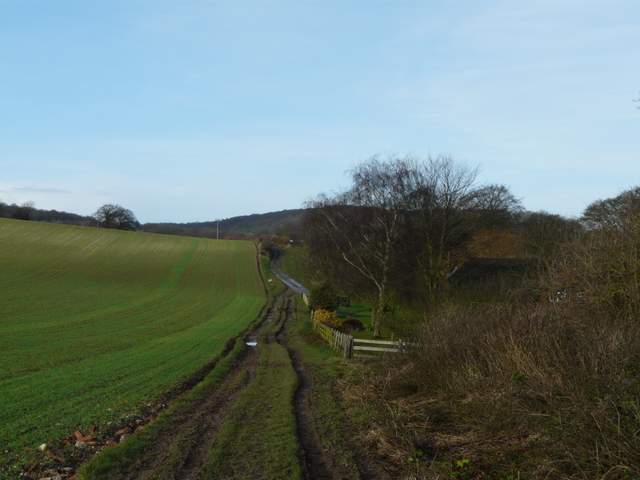
The path from Bledlow Ridge to Rout's Green
The path from Bledlow Ridge to Rout's Green, just after crossing Chapel Lane
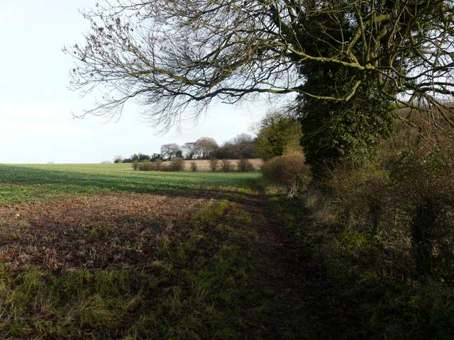
The path from Bledlow Ridge to Rout's Green
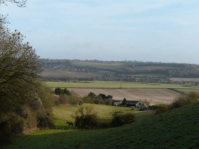
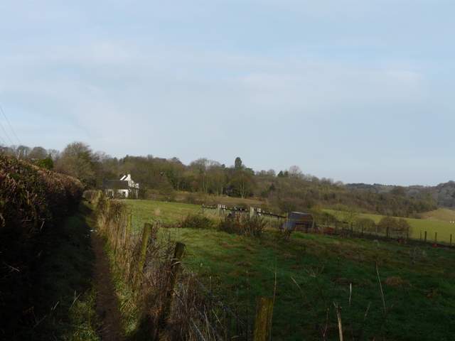
Looking east across the Saunderton Valley towards Lacey Green
I turned left along the road here, soon turning right at a T-junction along another short street that soon became a roughly surfaced drive. When the drive ended by the last residence, a bridleway continued ahead, dropping steadily downhill beside Neighbour's Wood on my right. Beyond the wood the bridleway continued between hedges for a while. I passed through a gap in the hedge on the left, and followed a track past Callow Down Farm (a diversion from the original route that went through the farmyard). The path went a few yards right along the farm drive, before turning left, back onto the original route. I soon passed Old Callow Down Farm. A short distance along the drive from this second farm I left the Chiltern Way by going straight on as the drive turned left.
The drive that is the start of the bridleway going north from Rout's Green
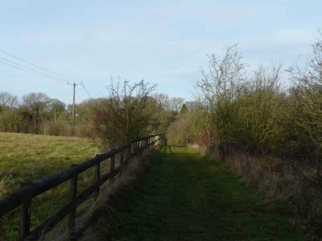
The bridleway descending beside Neighbour's Wood
The bridleway continuing towards Callow Down Farm
The track past Callow Down Farm
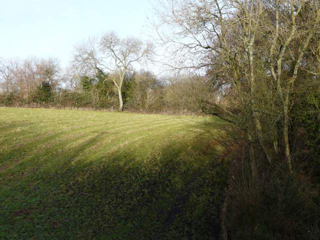
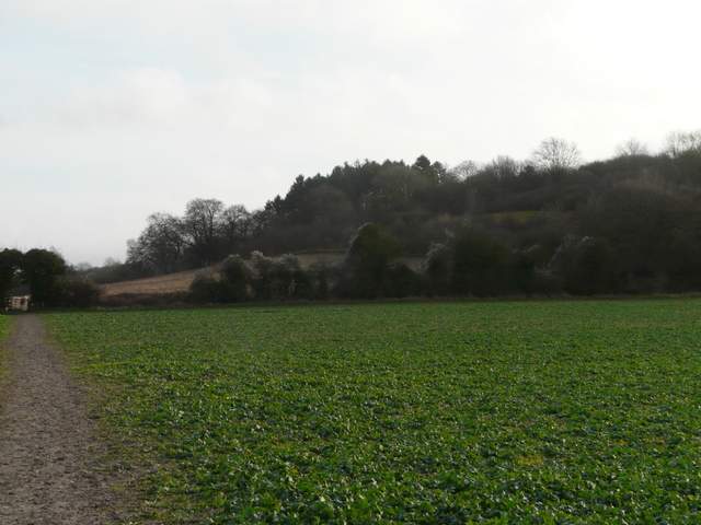
The path followed a hedge on my right, soon meeting a crossing bridleway. Here I turned left and followed the bridleway to a path junction in the middle of a large field. Here I turned right, joining part of the Ridgeway National Trail, to reach the edge of the field. Through a kissing-gate, the path went right, initially beside the hedge, before climbing uphill through the trees that cloak the western end of Lodge Hill. It was neither too steep nor too too long an ascent, and I was soon at the top. As always it was a pleasure to follow the path along the top of Lodge Hill, with good views in most directions. South I could see Slough Hill with Allnutt's Wood beyond, both features I'd be passing later on. Ahead and to the left I could see over the Saunderton Valley to Whiteleaf Hill, with the Vale of Aylesbury further left.
The footpath starting from the drive from Old Callow Down farm
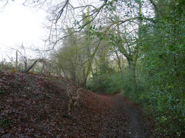
The path to Lodge Hill
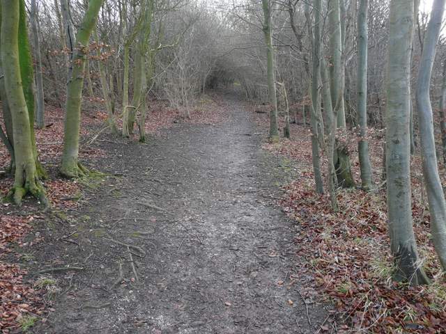
The path up the west end of Lodge Hill
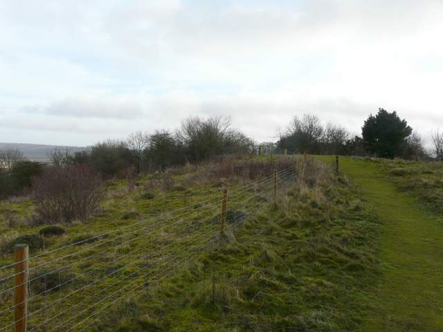
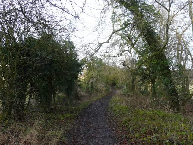
The footpath on top of Lodge Hill
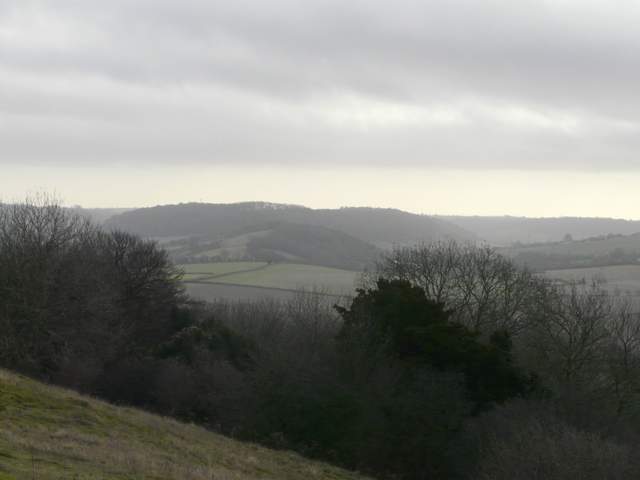
Looking south from Lodge Hill, to Slough Hill with Allnutt's Wood on the hill beyond (part of the route much later on)
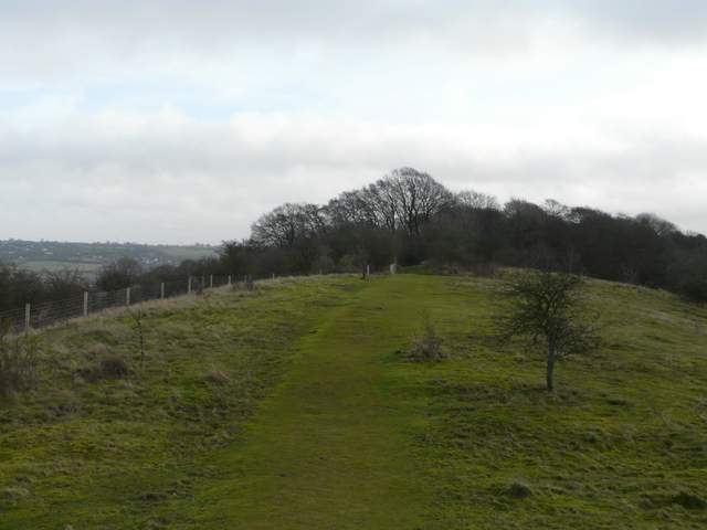
The footpath on top of Lodge Hill
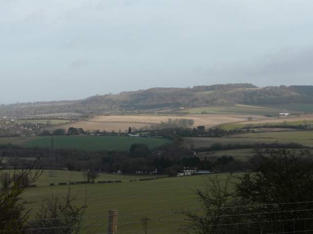
Looking north from Lodge Hill over the Saunderton Valley to Whiteleaf Hill