Pete's Walks- Marsworth, Halton, Tring Station (page 4 of 5)
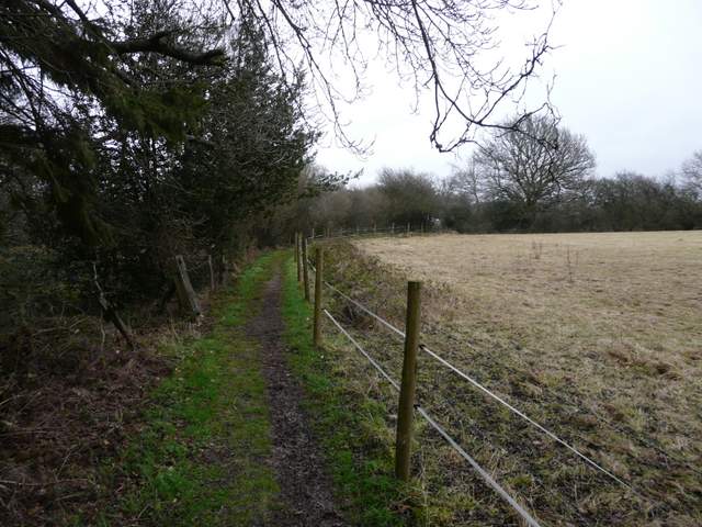
I was relieved to see a gate and a waymark indicating a path on the other side of the lane - the area is shown as an Open Access area on the map, but there was no indication as to whether there would be an entrance to it here, so I'd thought I might have needed to take a short detour to the edge of Tring and back again. The path led along the left edge of a long narrow pasture, and then entered Tring Park. I soon turned half-right on a clear path crossing the park, heading towards another steep wooded slope (the only part of the Park I'd visited before is King Charles's Ride, part of the Ridgeway National Trail, which runs along the top of that slope). It was a pleasant stroll across the park - there were a few other people out walking here, and a few people exercising their dogs. Away to my right there were some cattle grazing. On reaching the wooded slopes, the path went half-left, rising at a gentle gradient to reach an Obelisk (incidentally another path went half-right where I went half-left, but the path shown on the map was actually a little further along the path I took). From the Obelisk a slightly steeper path (the second one on my right) took me up to a gate at the end of King Charles's Ride, with a view down another path to what looked like a Greek temple.
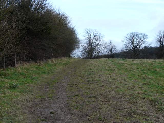
The path across Hastoe Lane, just inside Tring Park
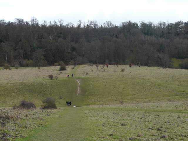
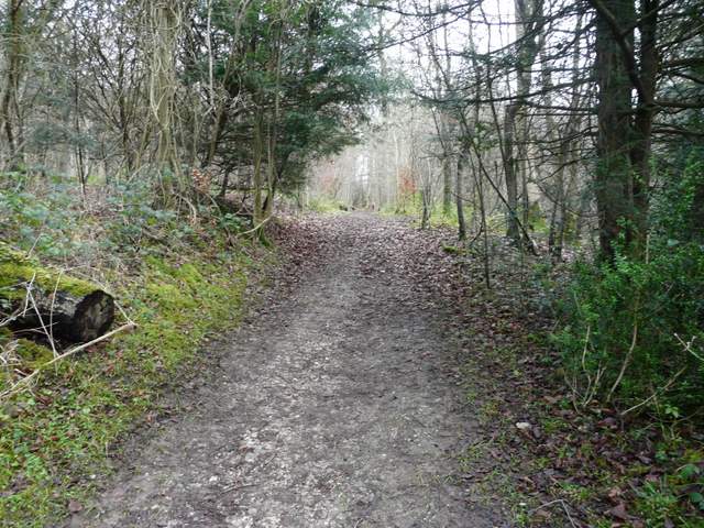
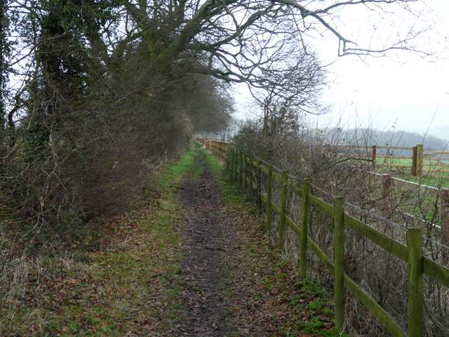
The path across Tring Park
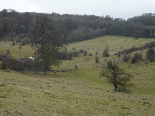
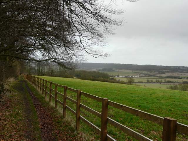
Looking southwest across Tring Park
The path across Tring Park
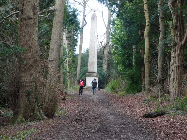
The path to the Obelisk
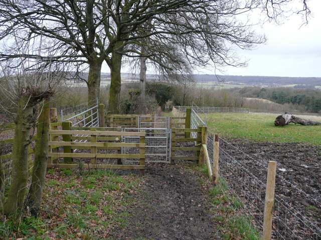
The path up from the Obelisk
I sat down on a convenient log to eat my lunch - it was now 1.10pm and I'd been walking for three and a half hours. I was now back on familiar territory, as I'd met the Ridgeway National Trail which I'd now follow as far as Tring Station. In a few yards it led out of Tring Park and past some houses to meet a road as it entered the village of Wigginton (to my right). Across the road it continued past a garden on the right, with nice views towards Pitstone Hill and Ivinghoe Beacon on my left. The forecast had been for a dry day, but it had gradually been clouding over and there was now a short spell of light rain. The path continued along the edge of some paddocks and then another field to reach a lane called The Twist. A few yards to the right, a path started on the other side, running between a tall hedge and a wooden fence, with nice views now on my right across the 'Tring Gap' towards Aldbury and Ashridge. The path dropped gently downhill, passing through a number of gates in quick succession and then crossing the impressive footbridge carrying the Ridgeway over the A41 dual carriageway. The path then went right and then left beside a muddy paddock containing three horses, to reach the old A41 (on the line of the Roman Akeman Street).
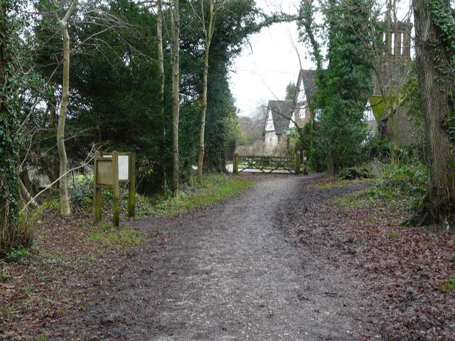
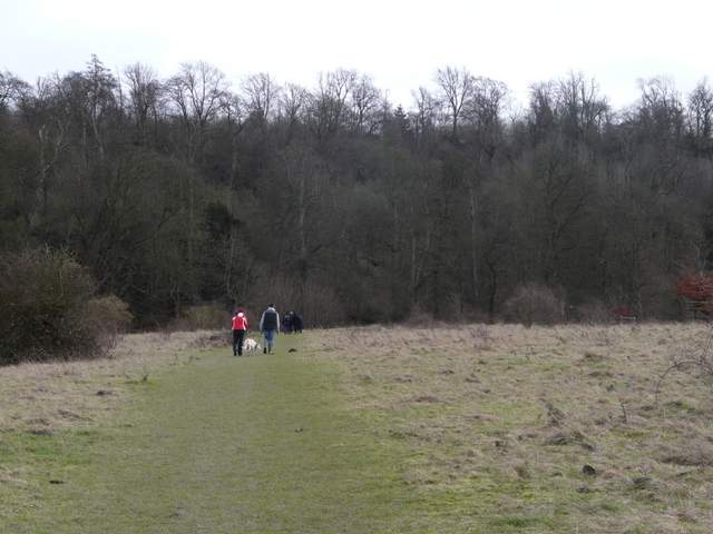
Leaving Tring Park at Wigginton
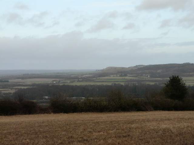
Pitstone Hill overtopped by Ivinghoe Beacon, from Wigginton
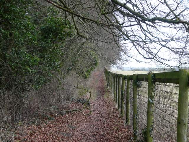
The path from Wigginton to the lane called The Twist
The path continuing from The Twist
The path continuing from The Twist
The path continuing from The Twist
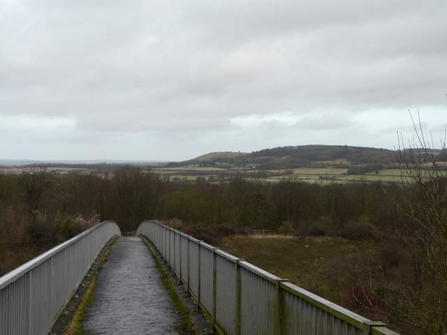
The tall footbridge carrying the Ridgeway National Trail across the A41 dual carriageway
About a hundred yards to the right, a path continued on the opposite side of the road. This ran between a mature hedgerow and a wooden fence, then it continued with fences either side as it passed through sheep pastures that were obviously part of the former park land around the nearby Pendley Manor (now a hotel). The path ended at a lane, which I followed a short distance to the left to reach a road junction in Tring Station.
The footpath across the A41
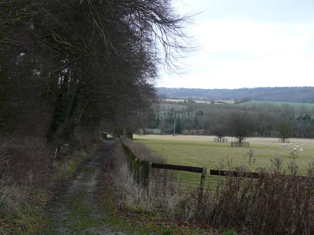
The path near Pendley Manor
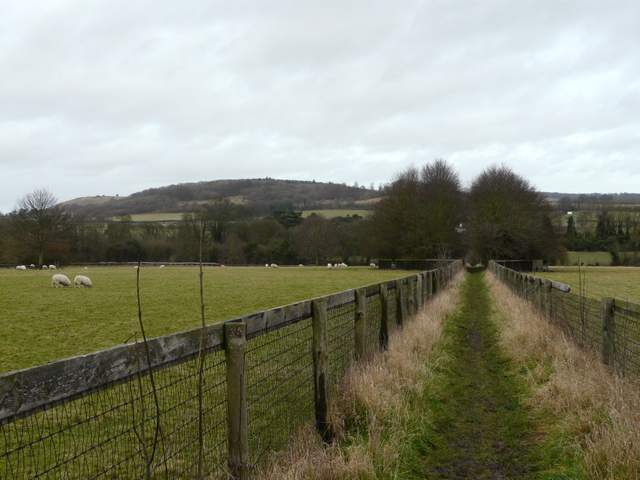
The path near Pendley Manor