Pete's Walks- Circular walk from Chesham (page 5 of 5)
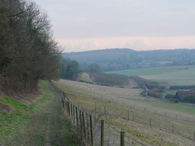
Across the road a footpath led down the drive towards Mount Nugent Farm, but when this turned left I went through a series of gates on the right and followed the path ahead between a wooden rail fence and a hedge on the right. This took me to Captain's Wood, a beech wood, where I turned left and followed a path close to the edge of the wood. I soon reached a path crossroads, where I turned right, following the new path gently downhill. At a junction just before I left the wood, the path became a bridleway, dropping steeply downhill beside a right-hand hedge, with a huge sheep pasture over the wire fence on my left - I had to take care here as it was very slippery. The path continued along the surfaced drive from a farm to reach Asheridge Road. I continued along Buslins Lane opposite, a roughly surfaced track. There was a very muddy section when this turned left just past some cottages (I remembered the wide puddles here from a previous walk), but it was generally fine after that, as it turned right and then a few hundred yards later turned left again, now rising quite steeply to reach a road on the north-western outskirts of Chesham (close to Chartridge).
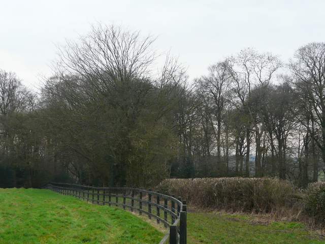
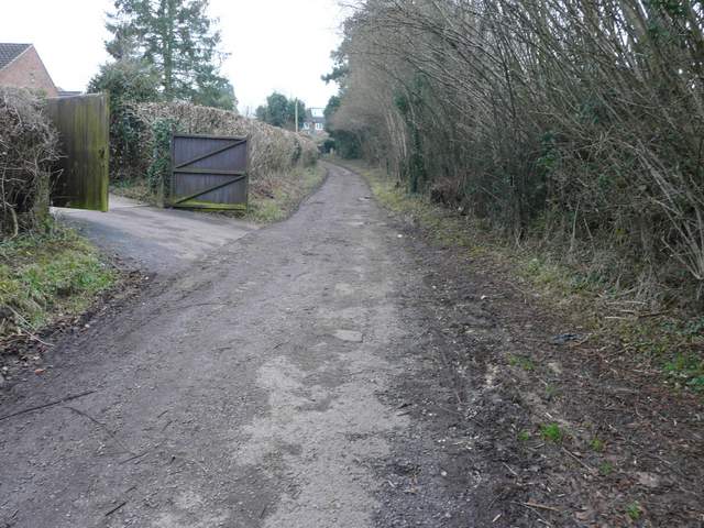
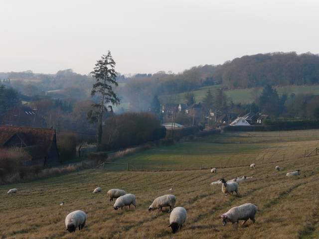
The path near Mount Nugent Farm, approaching Captain's Wood
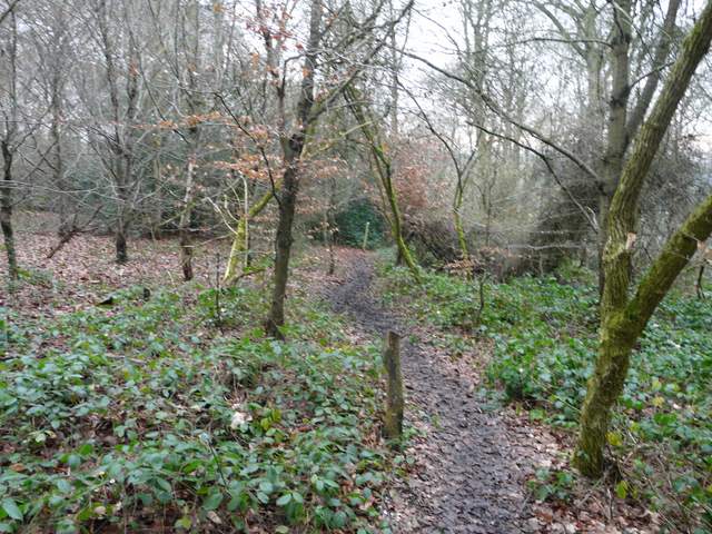
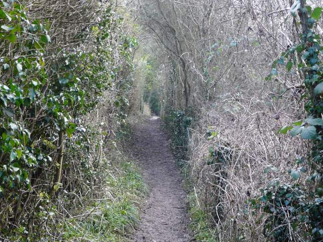
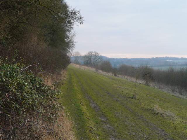
The bridleway going south through Captain's Wood
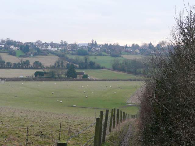
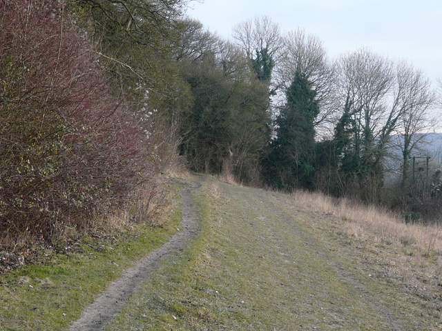
The path going southwest from Captain's Wood
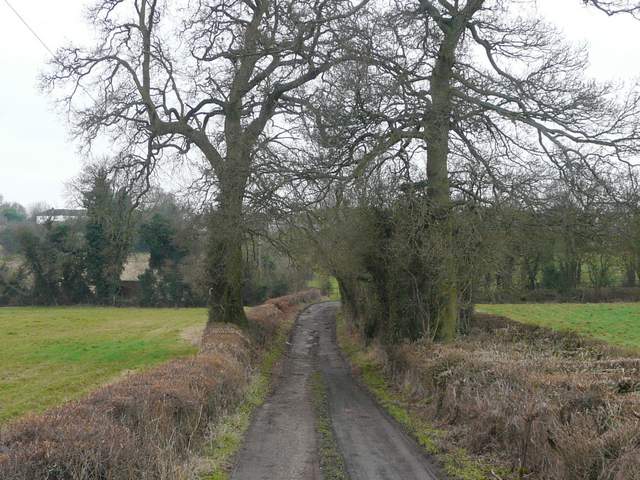
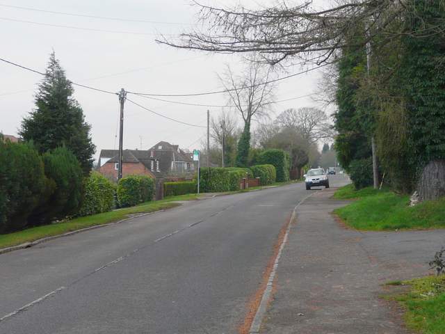
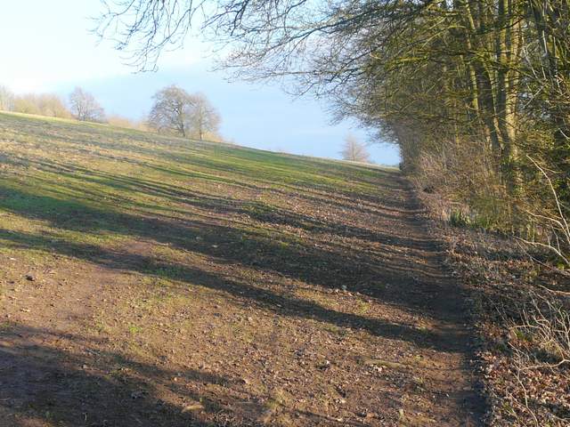
Buslin's Lane
Buslin's Lane
I turned left and followed the road for some distance. It curved right and then left again, and then I took a footpath on the right. This followed a drive for a few yards, crossed a small grass area then bore left behind some garden fences with scrubby bushes on the right. The path then emerged to follow a left-hand hedge, with nice views over the valley on my right. This was a pleasant walk, though for some reason I found this path quite slippery (probably because by now the soles of my boots were covered in mud and couldn't grip). The path turned right very briefly, before turning left and continuing along the sloping hillside. Eventually I reached a corner, where another path came in sharply from the right.
The road going southeast towards the centre of Chesham
Near the start of the path from the road
The path continuing south-eastwards, above Pednor Road
Looking back, from a little further along the path
Further along the path
The path shortly before the large meadow adjoining Lowndes Park
The path continued through a short area of tress, then continued along the left edge of a large meadow, possibly part of Lowndes Park, I'm not really sure (there were certainly people wandering about it as if it was part of the park). On reaching the corner of this meadow, or whatever, I continued ahead along Bury Lane, spotting Chesham Church over a wall on my right. Lowndes Park was now on my left, with the large pond or lake visible ahead of me. Bury Lane though turned right between buildings rather than go to the pond, and took me to Church Road, where I went a few yards left to reach a dual carriageway, the main road through Chesham. I crossed over at a pedestrian crossing a few yards to the right, then went straight on between buildings to reach the pedestrianised High Street. Here I turned left, and followed it as far as Station Road, where I turned right and followed the road uphill to the station and the car park where I'd started.
The path along the meadow adjoining Lowndes Park (I'm not sure if this is actually part of the park)
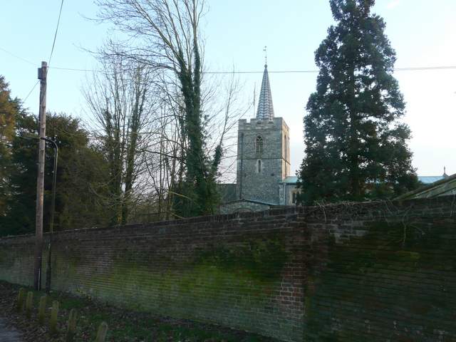
Chesham church
Chesham is the fourth largest town in Buckinghamshire, with a population of 23,000. In the past, beer, brushes, boots and watercress were among the major industries, but it is now largely a commuter town. Traditionally and locally the name is pronounced Chess-am, although it is more usually and widely pronounced Chesh-am. Rather surprisingly the river Chess takes its name from the town, rather than the other way around. Chesham is first recorded in Anglo-Saxon documents, including in the will of Lady Elgiva, a Saxon Queen. The town’s tube station is the last one on a spur off the Metropolitan Line.

Chesham High Street
It was about 3.05pm when I got back to my car, so allowing 10 minutes for lunch the walk had taken five and a quarter hours. I had been nicely wrapped up in my Paramo gear, so I hadn't really noticed the freezing temperatures apart from my hands getting cold for a few minutes a couple of times. This was a good walk, the most scenic bit being around the Chess Valley which I always enjoy visiting. Most of the walk was in pleasantly rolling countryside, giving many attractive but not spectacular views. The route was mainly on bridleways and field paths, with the odd wood here and there for variety. Much of the route was on paths that I use on other walks, but the section from Butley to Chesham Vale I'd only done a couple of times 4-5 years ago. I'm usually pretty good at remembering paths I've walked before, so it was surprising how poorly I remembered that section (must me a sign of impending old age!).