Pete's Walks- Coombe Hill and the Hampdens (page 1 of 5)
If you are considering walking this route yourself, please see my disclaimer. You may also like to see these notes about the maps and GPX files.
Google map of the walkDownload GPX file of the walk
I did this roughly 12.5 mile circular walk on Saturday, 4th May 2013 (a Bank Holiday weekend). I wasn't completely sure that I was fully recovered from the virus I'd had a couple of months ago, so I wanted to do a slightly shorter walk than usual. This route was Walk 12 of my Chiltern Chain Walk, but done in the opposite (circular) direction
The previous night, the BBC weather web site had forecast a dry day with sunny spells, so it was disappointing to wake up to a grey morning with brief showers - there was quite a heavy shower as I drove through Wendover, but fortunately it had stopped by the time I reached the car park for Coombe Hill (grid reference SP 852063). I started walking at about 9.25am, going through the gate by the entrance to the car park and taking the middle of three paths that start there. I crossed an area of grass and bushes, then passed through a belt of trees, before turning right along a broad strip of grass to reach the Boer war monument on top of Coombe Hill. After taking a couple of photos (obviously the views weren't at their best on such a grey day), I turned right and joined a surfaced path. When it turned right (to head back to the car park), I continued ahead with trees now on my right.
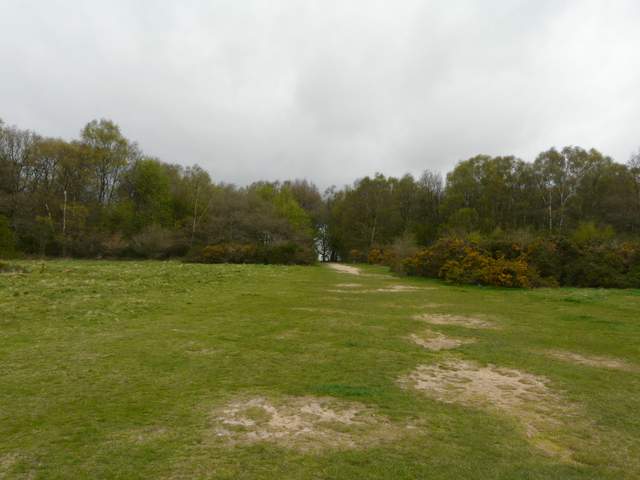
The path from the Coombe Hill car park
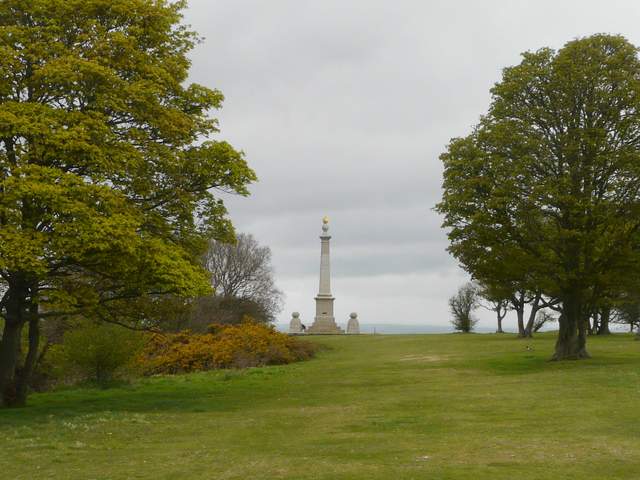
Approaching the monument on Coombe Hill
Coombe Hill lies just south of Wendover, Buckinghamshire. At 853 feet above sea level, it is one of the highest points in the Chilterns, and there are panoramic views over the Vale of Aylesbury. It is surmounted by a tall column, a memorial to the men of Buckinghamshire who died in the Boer war – the column has twice needed repairing after suffering severe damage from lightning strikes. In 1918 Coombe Hill was given to the National Trust by Lord Lee of Fareham, who also donated the nearby Chequers to the nation for use as the Prime Minister’s country retreat.

View towards Wendover Woods from Coombe Hill
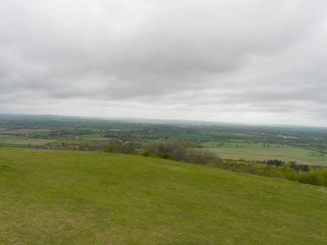
The Vale of Aylesbury from Coombe Hill
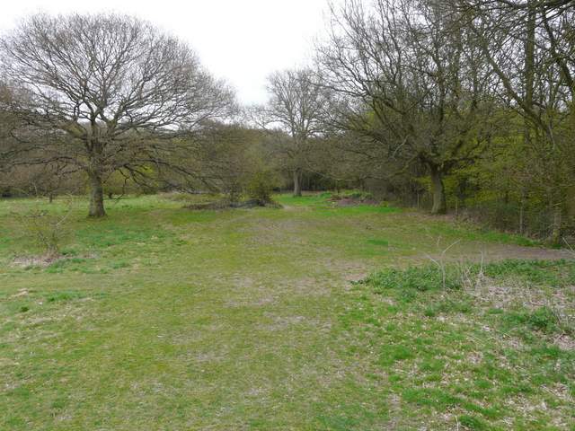
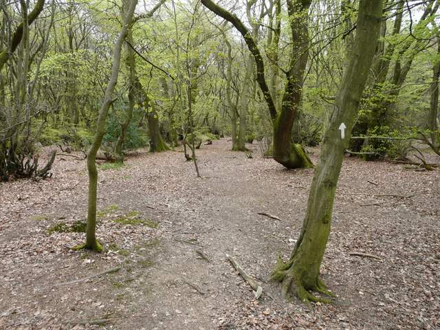
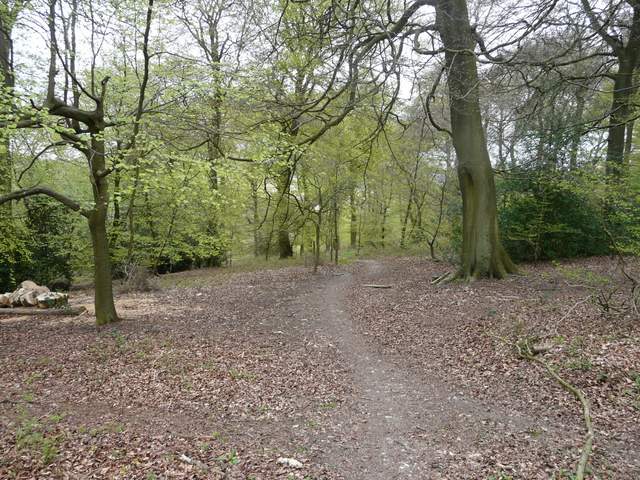
Approaching Low Scrubs Wood
In a corner of the wood I went through a metal kissing-gate, turned slightly right and crossed over a broad bridleway. I went a few yards right, then followed a path going left through the trees (marked by arrows). I crossed over another broad bridleway and continued on ahead, now on a bridleway heading southeast towards Dunsmore. with the remains of an old metal fence on my left. The bridleway went on for about a mile through Low Scrubs and High Scrubs woods, where I saw both Wood Sorrel and Wood Anemones, plus a very few Bluebells (most years they would have been about at their best now, carpeting the woodland floors a bright blue, but because of the very cold Spring so far they are 2-3 weeks away from their peak).
The path through Low Scrubs
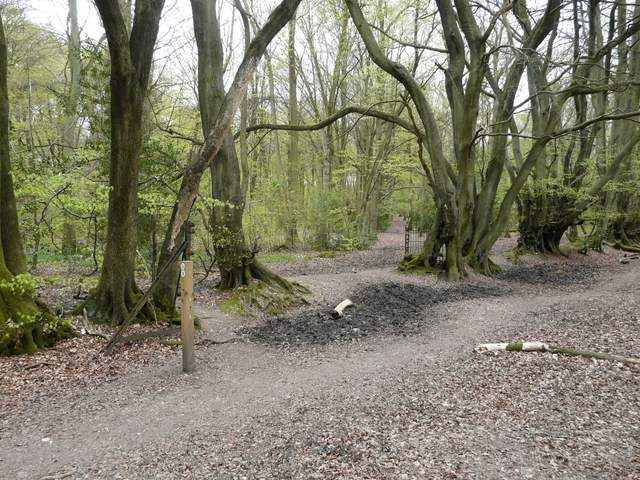
Crossing a bridleway in Low Scrubs
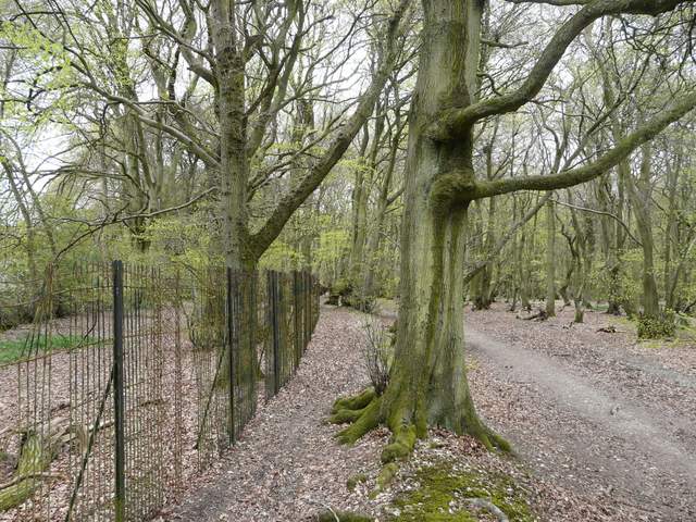
The bridleway along the iron fence in Low Scrubs
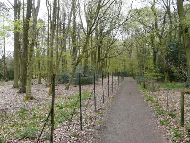
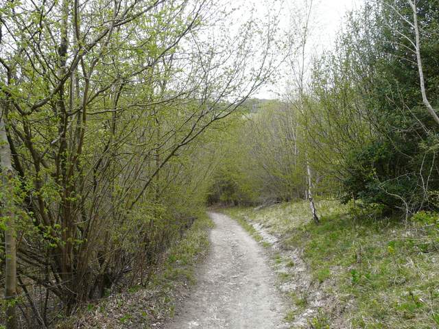
The bridleway now in High Scrubs
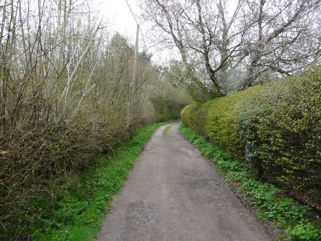
On reaching the hamlet of Dunsmore, I continued ahead along a lane, crossed a lane by the village pond, and went straight on down what soon turned into a hedge-lined track. I spotted my first Barren Strawberry of the year here. There was a bit of rain now, and the usually fine view left towards Wendover Woods was now very grey and murky indeed. Back into woodland, and just past the gardens of a cottage on the right, I turned right onto another bridleway, that descended steadily through Scrub Wood (I saw my first Wood Spurge of the year here) to reach a valley bottom.
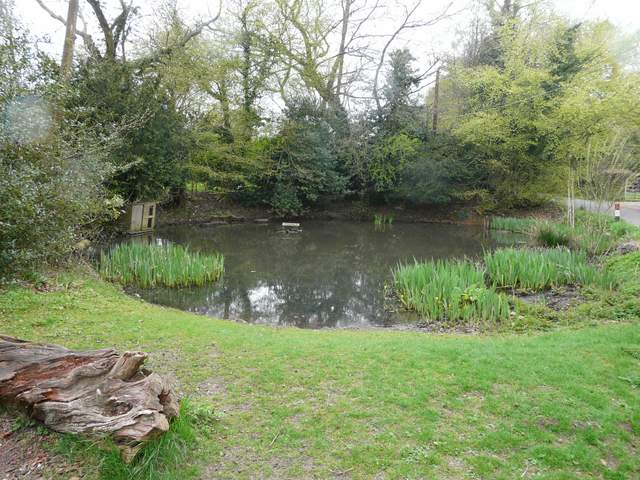
Pond in Dunsmore
Dunsmore is a hamlet in the parish of Ellesborough and, like nearby Little Hampden, is one of the most remote places in Buckinghamshire. It is accessible only by two narrow and steep lanes, and is occasionally cut off in winter. It retains its small community atmosphere, although both its pubs have closed in recent years. The name dates back to Anglo-Saxon times.
The track continuing south from Dunsmore
The track continuing south from Dunsmore
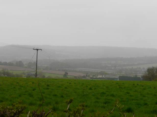
View north towards Wendover Woods - it was raining a bit now
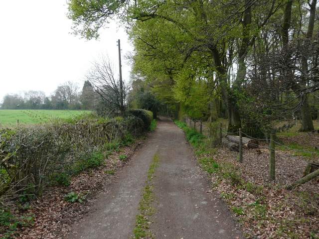
Near the start of the bridleway to Little Hampden in Scrub Wood
The bridleway to Little Hampden in Scrub Wood