Pete's Walks- Coombe Hill and the Hampdens (page 5 of 5)
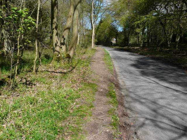
The next section of the Ridgeway is named Cradle Footpath on the OS map, and as usual the route is marked by white acorn symbols on fingerposts.. It passes through an area of grass and scrub that curves round the end of a small valley, then crosses a large pasture (empty today) to a gate between Whorley Wood and Maple Wood. Here it goes right, along the edge of Maple Wood, with the Prime Minister's country residence, Chequers, soon coming into view over to my left. As always I took the inevitable photograph of Chequers backed by the monument on Coombe Hill.
The Ridgeway near Chequer's Knap
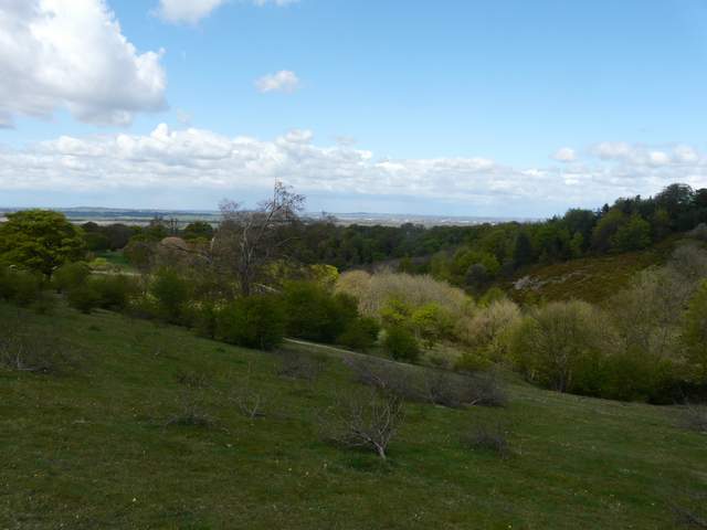
View from near Chequers Knap
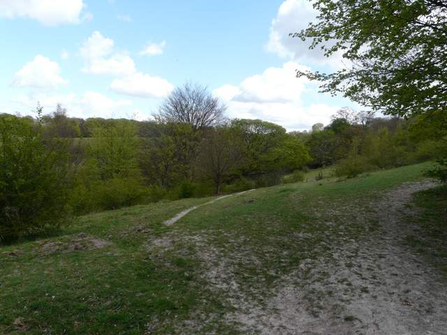
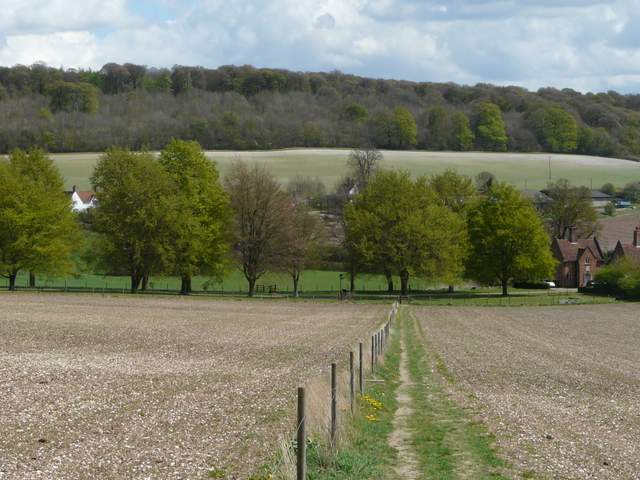
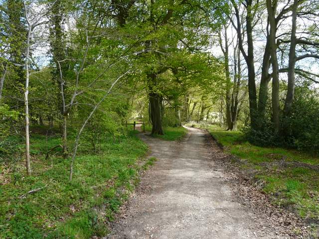
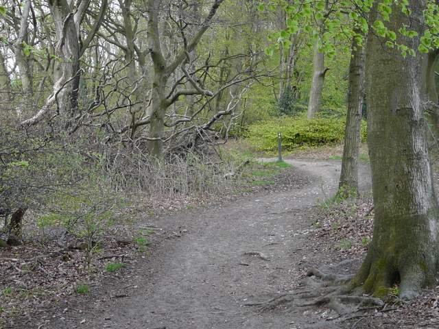
The cradle footpath (I still don't know why it's called this on the OS map)
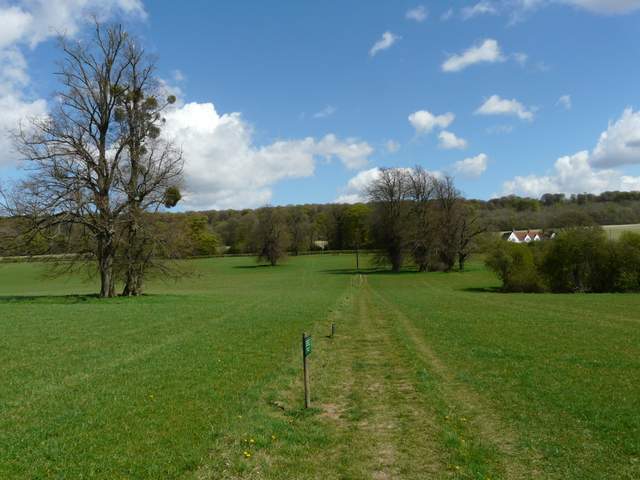
The cradle footpath, nearing Chequers
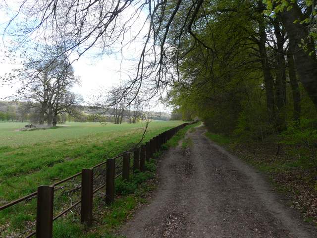
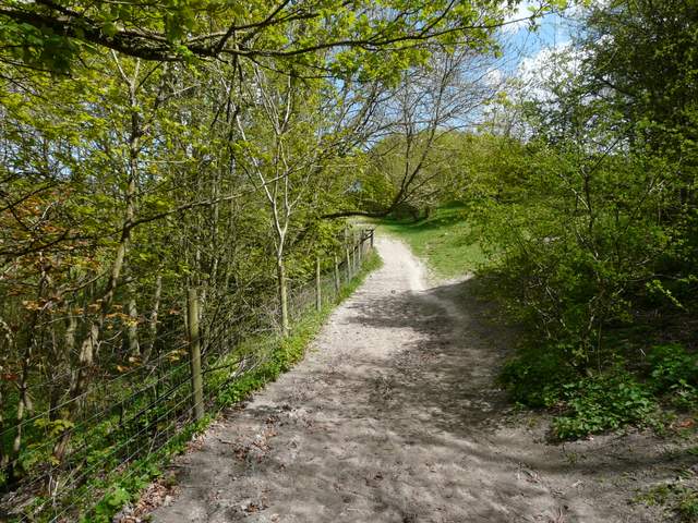
The Ridgeway passing the grounds of Chequers
There has been a house at Chequers since the 12th century. The name possibly comes from the Chequers (or Wild Service) tree that grows in the grounds, or from the fact that the original owner Elias Ostiarius was an Usher at the Court of Exchequer and so included a chequer board on his coat of arms. The current house is 16th century, and was restored and enlarged by John Hawtrey in 1565. Soon after, he was given the responsibility of keeping a royal prisoner – Lady Mary Grey, sister of the unfortunate Lady Jane Grey. A later owner married a grandson of Oliver Cromwell, and the house still has a collection of Cromwell memorabilia. During World War I the house served as a hospital and then a convalescent home for officers. In 1918, the owners Lord and Lady Lee of Fareham presented the house to the nation for use as a country residence by the Prime Minister.
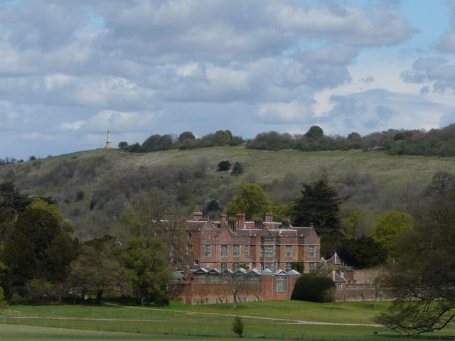
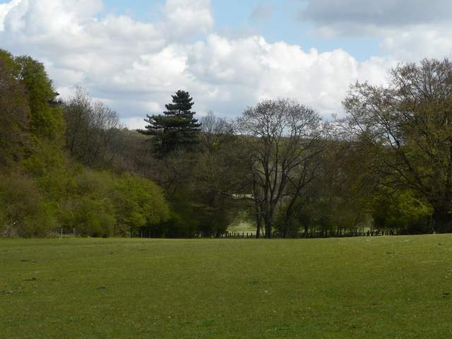
Chequers, with Coombe Hill beyond
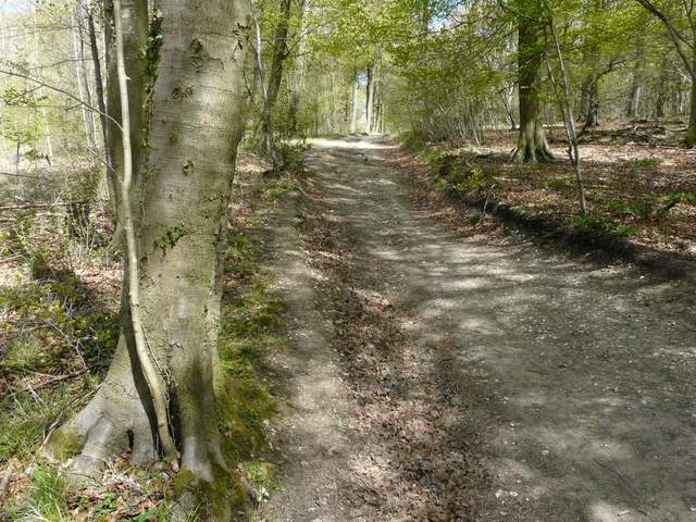
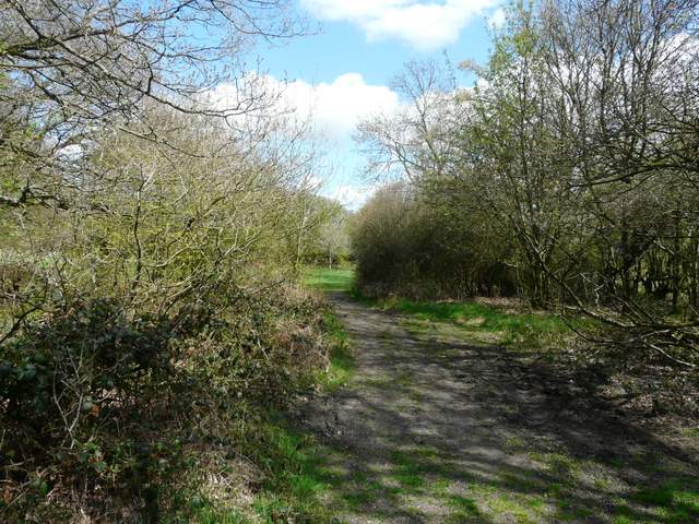
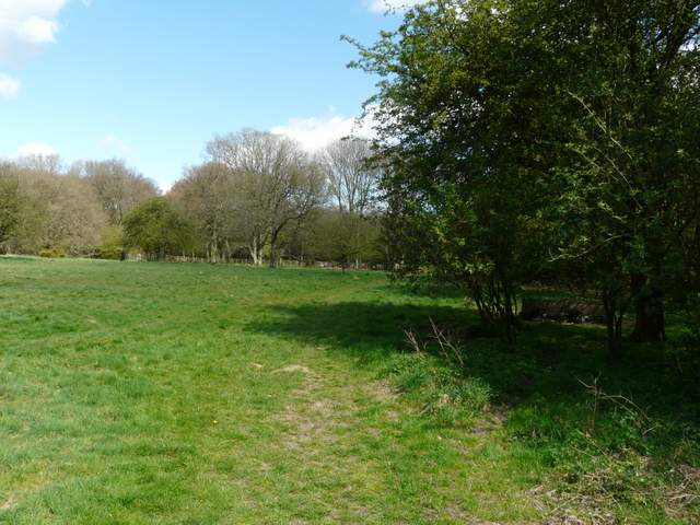
The path then turned left, following a fence between two arable fields, then crossed over the drive to Chequers (guarded by security cameras). It continued across another field, to reach a road junction near the hamlet of Buckmoorend. The Ridgeway continued opposite, soon heading uphill through Goodmerhill Wood. At the top of the slope the Ridgeway turned left, and I followed its well waymarked route (white acorn symbols) through the beech trees.
The Ridgeway approaching the drive to Chequers
The Ridgeway continuing through the grounds of Chequers
The Ridgeway approaching Goodmerhill Wood
The Ridgeway climbing through Goodmerhill Wood (as usual my camera is lying about the gradient, this uphill, honest!)
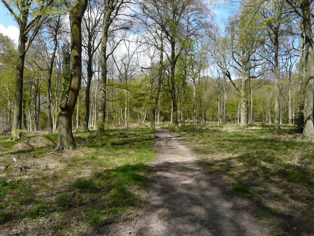
The Ridgeway heading north towards Coombe Hill, now in Linton's Wood
The Ridgeway heading north towards Coombe Hill
On reaching a road, I turned right and followed it for a hundred yards or so (I spotted my first Orange Tip butterfly of the year here) before turning left on a path back into the woods (I could have just followed the road back to the Coombe Hill car park). The path led through trees near the top of Lodge Hill to a metal kissing-gate, beyond which I turned right and followed a path back to the car park where I'd started.
The short road section on Lodge Hill
The path on Lodge Hill, heading north to Coombe Hill
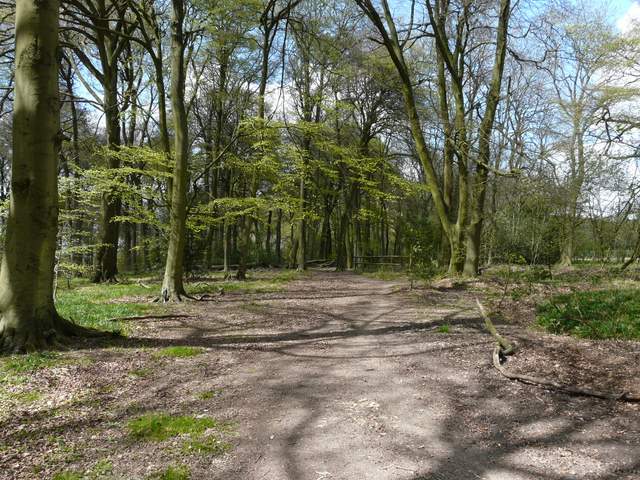
The path going east to the car park on Coombe Hill
The path going east to the car park on Coombe Hill
This has long been one of my favourite walks in Chilterns - I most often do it in the opposite direction, but it's really just as good this way round. There are several ups and downs, lots of woodland walking interspersed with field paths and some sections of chalk downland, and lots of historic and wildlife interest. It was certainly an enjoyable way to complete my second full circuit of the Chiltern Chain Walk.