Pete's Walks- Cadmore End, Turville and Ibstone (page 3 of 3)
On reaching Ibstone Common on my left, I turned left along the edge of the common. Across a track I then headed half-right across the common and sat on a bench beside the cricket pitch to eat my lunch - I counted 20 Red Kites in the skies overhead, with about 10 of them very close and low down over the nearby houses and gardens. I then made my way to the far left corner of the cricket pitch, crossed the road and took the footpath on the opposite side. This soon followed the edge of a field to reach Hartsmoor Wood, descending steadily through the wood and then running beside a thick-right-hand hedgerow to reach Penley Wood. Here I turned right along a bridleway along the valley of Twigside Bottom (at least that's what I think it's called, on the OS map it is marked that further along). At first it ran along a broad track, leaving it for a while to run along a parallel path on the left (I spotted another Fallow deer here) before rejoining the track.
Ibstone Common
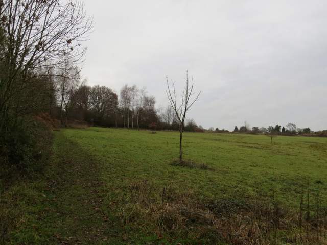
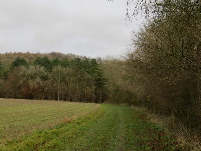
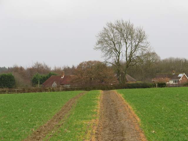
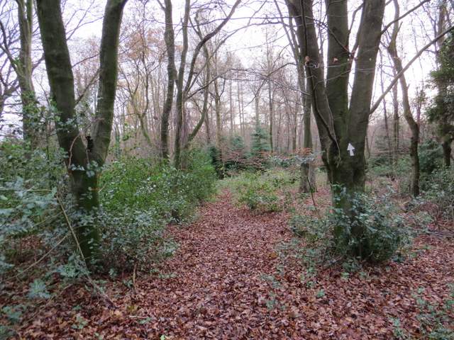
The path from Ibstone to the valley of Twigside Bottom
The path from Ibstone to the valley of Twigside Bottom
The path from Ibstone to the valley of Twigside Bottom
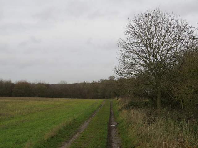
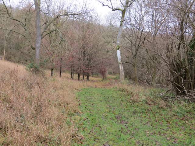
The path from Ibstone to the valley of Twigside Bottom, approaching Penley Wood
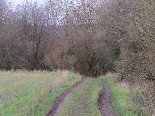
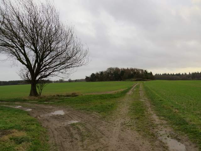
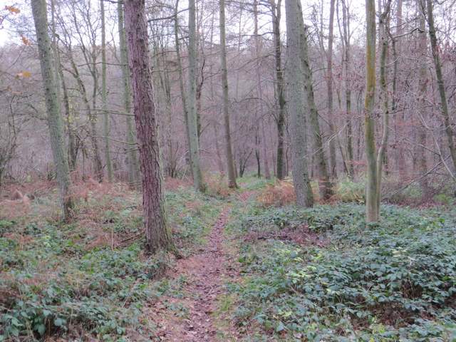
The path going south along Twigside Bottom
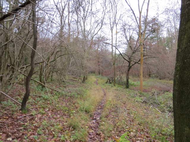
The path going south along Twigside Bottom
After about half a mile I turned left at a path junction, following a steepening path up the wooded hillside. At the top of the slope I emerged from the wood and turned right for a few yards to reach a field corner. Here I turned left and followed a hedgerow on my right. At the next corner, the path continued across two fields to reach Chequers Lane. I followed this a short distance left to reach a main road, and then took Bigmore Lane almost opposite. I almost immediately crossed over the M40 motorway, and after about half a mile I took a path on the right. This went across a sheep pasture to the far right corner.
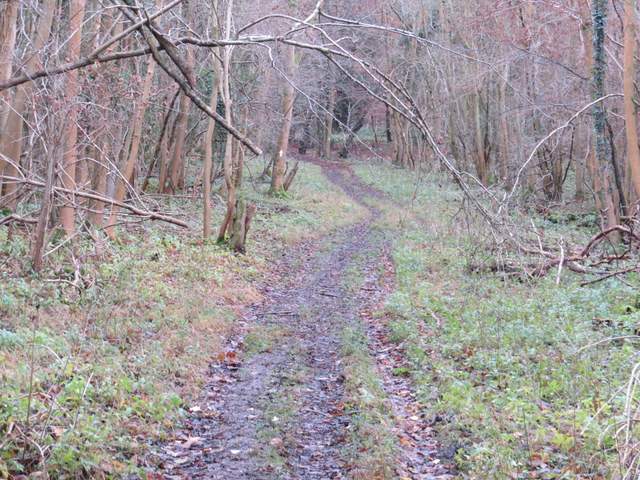
The start of the path from Twigside Bottom
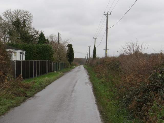
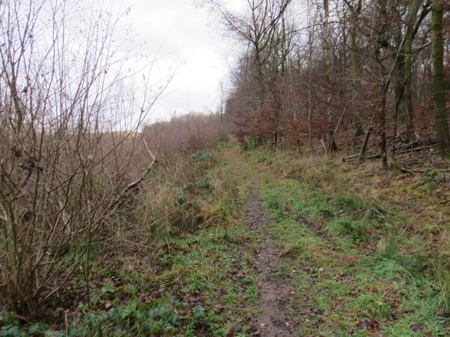
The path from Twigside Bottom approaching Chequers Lane
Bigmore Lane
The path across the pasture next to Bigmore Lane
The path then continued ahead along a farm track, passing a small copse on the right then turned left and then right to reach Pound Wood (there was no sign of the second copse shown on the OS map). The path continued through Pound Wood, bearing left at the bottom of a small valley. I'd only walked this path from Bigmore Lane once before in the opposite direction, and when I now kept right at a fork I was on a path I'd never used before. This took me to a bend in a forestry track where I continued ahead. I was soon back on familiar territory as the track took me back under the M40 and ended at the car park for Cadmore End school. I then went right for maybe a hundred yards, crossed the road and made my way across the small common to where my car was parked.
The path continuing to Pound Wood (it goes left of the clump of trees in the centre and continues across the fields to the wood)
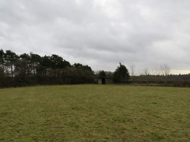
Pound Wood
Pound Wood
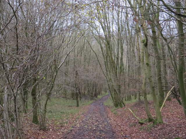
The path through Pound Wood to the Forestry Commission drive
Despite the rather grey conditions this was a very pleasant walk. A good mixture of field paths and woods, and several ups and downs. There were several really good viewpoints (which my photos don't do justice too) and the attractive villages of Turville and Ibstone. As well as the Fallow deer I mentioned, I also had two separate sightings of Muntjac deer.