Pete's Walks- Coombe Hill and Ninn Wood (page 2 of 3)
The footpath turned slightly right as it rose uphill and then I came to a path junction with a waymark post. The public footpath actually goes left here, but an erroneous waymark sign indicated it went straight on (I won't bore you with the details, but I initially followed the waymark and it took me 15 minutes and two-thirds of a mile of extra walking to prove that it was wrong - I've reported the erroneous sign to Buckinghamshire's Rights of Way department). The path climbed for a few more yards before levelling out in a nice area of beech trees. The path then crossed a bridleway and soon left Ninn Wood, following a hedge on the right along the side of an arable field. In the next field there was initially a wood (Cross Coppice) on the right. Towards the end of the third field I came to, the path joined a surfaced drive (from Solinger House) and passed through an area of trees to reach a road. A couple of Buzzards flew overhead here.
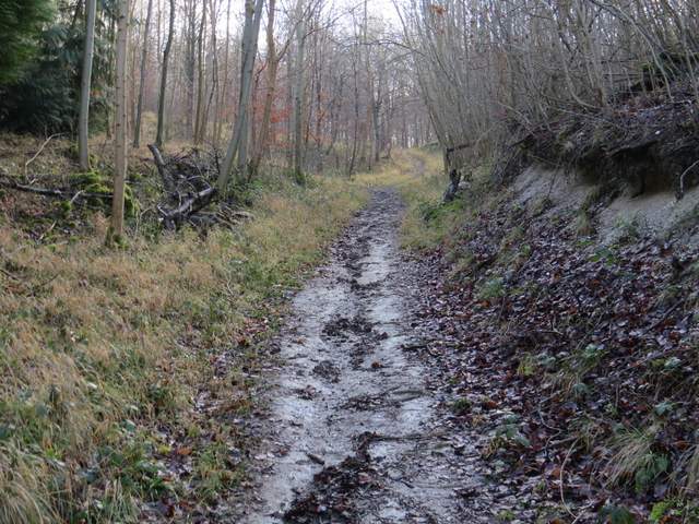
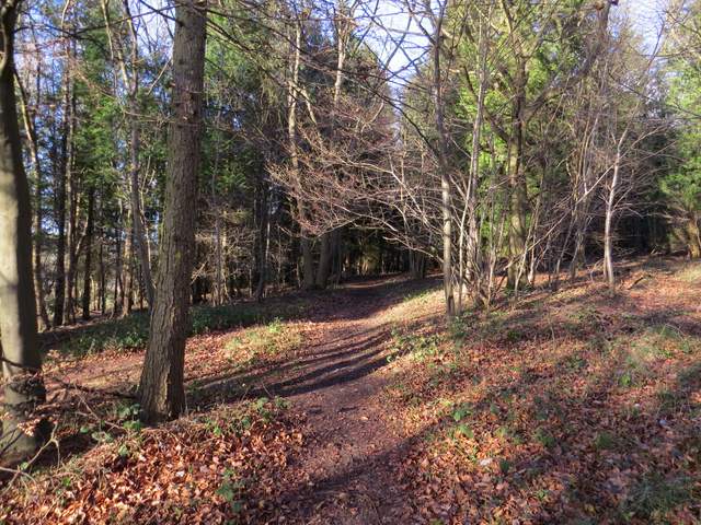
Further up the path, approaching the junction where the footpath goes left
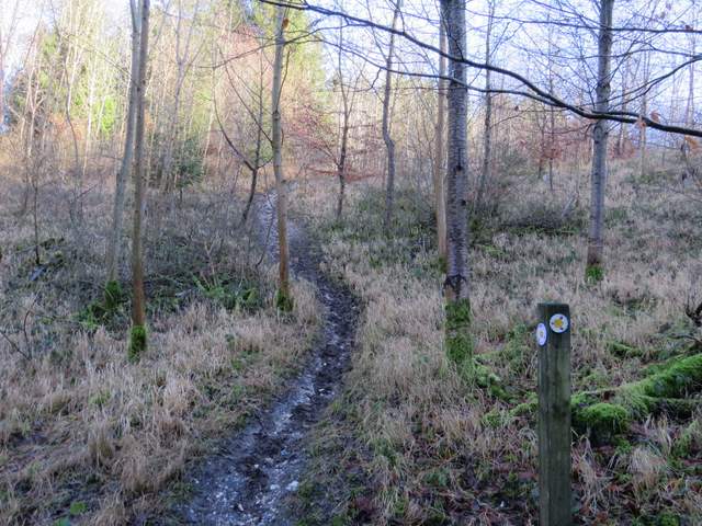
Where the public footpath goes left - the waymark pointing straight on is WRONG
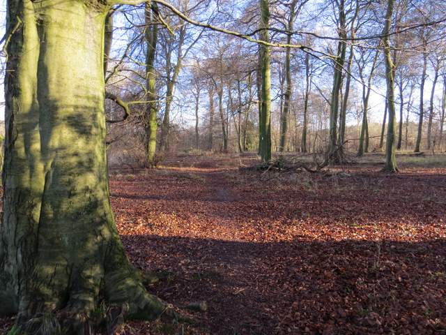
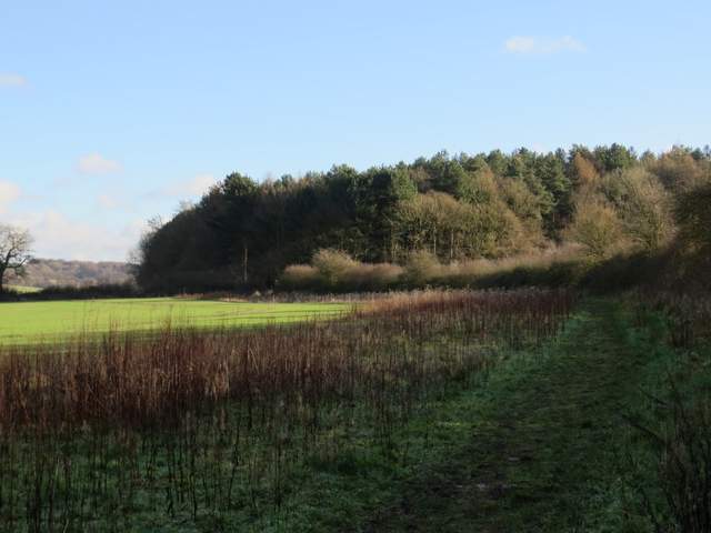
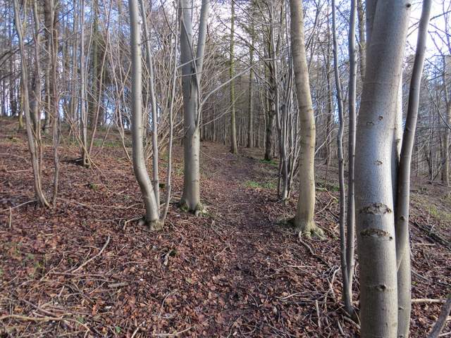
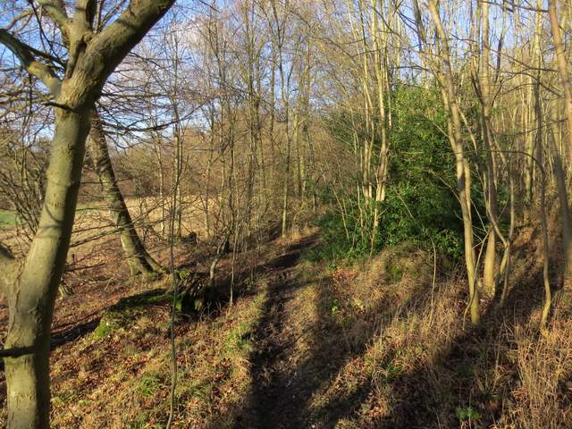
The path continuing through Ninn Wood
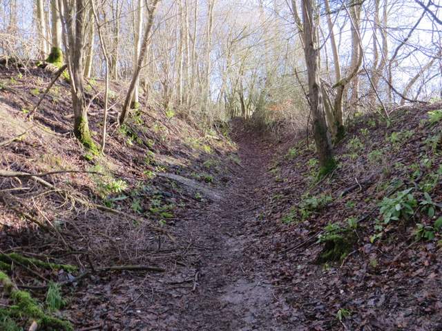
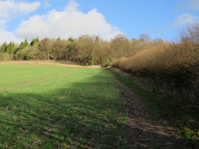
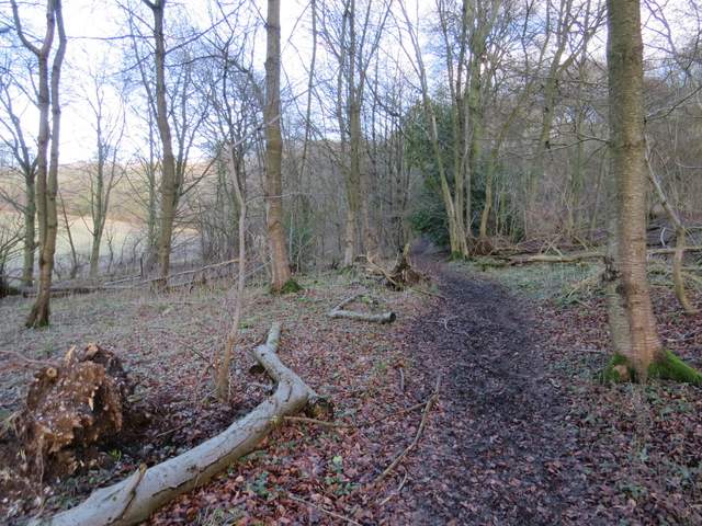
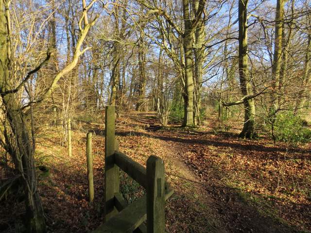
The start of the path continuing from Ninn Wood
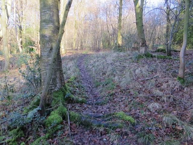
The path continuing east from Ninn Wood
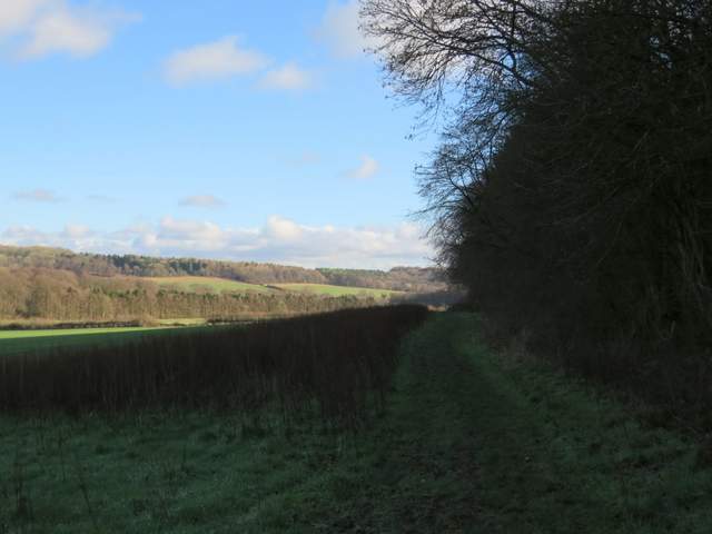
The path continuing east from Ninn Wood
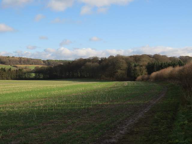
The path continuing east from Ninn Wood
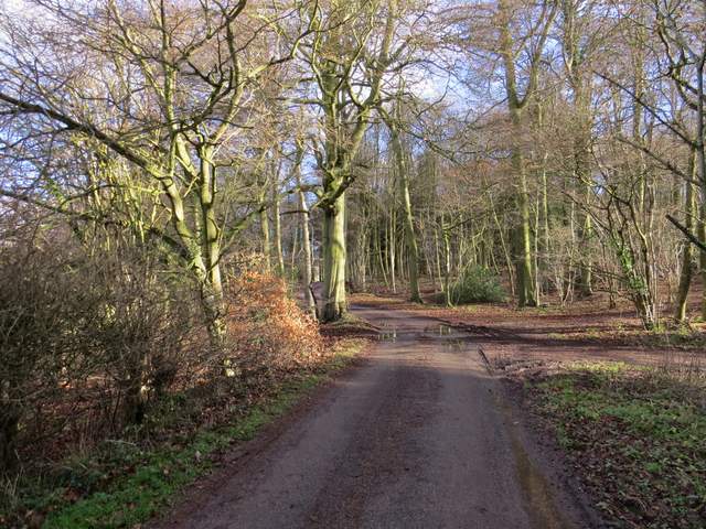
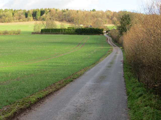
The path continuing east from Ninn Wood, now on the drive from Solinger House
Across the road I took the drive to Dirtywood Farm (so named on the map, the sign at the start of the drive said something entirely different). I took the permissive path that went left and round the grounds of the house here, then continued uphill beside a hedgerow to reach a wood (I've always assumed this was called Dirty Wood, like the farm, but Google Maps show it as Widnell Wood). I ignored a faint path going immediately right, then a few yards further on took a path going half-right (yellow arrow on tree). Towards the top of the slope I reached a T-junction of paths where I turned sharply left.
The drive to Dirtywood Farm (the sign at the start of the drive says something different)
The path continuing beyond Dirtywood Farm
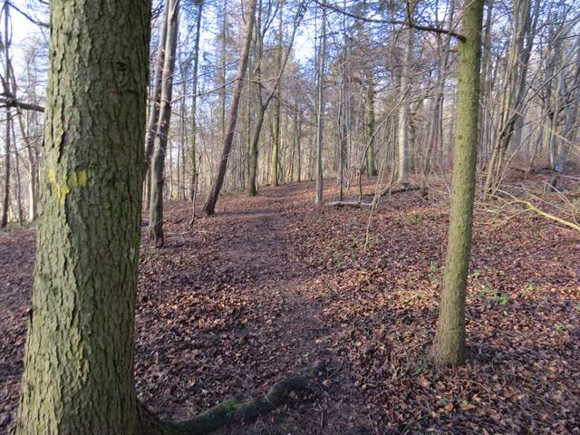
The path continuing in Widnell Wood (so named on Google Map)
Where I turned left in Widnell Wood
I followed the path for some distance through the wood (which was a mixture of deciduous and trees and conifers), gradually descending slightly. On reaching another path T-junction I turned right, and was soon heading uphill through what was now Hengrove Wood. I went right at another path T-junction and continued uphill through the wood. The path levelled out and I arrived at the end of a lane from Buckmoorend (I assume it once continued to Little Hampden, it's rather odd a lane ending in the middle of woods like this).
The footpath in Widnell Wood
The footpath in Widnell Wood
Just after turning right in Hengrove Wood
The start of the climb up through Hengrove Wood
Hengrove Wood, approaching the end of the lane between Buckmoorend and Little Hampden