Pete's Walks- Ewelme and Swyncombe (page 1 of 3)
If you are considering walking this route yourself, please see my disclaimer. You may also like to see these notes about the maps and GPX files.
Google map of the walkDownload GPX file of the walk
I did this roughly 7.4 mile circular walk on Saturday, 1st March 2014. This was a new route for me, though entirely on paths I'd walked before. Again it was a shorter walk than I usually do, because I'm still suffering from post-viral fatigue or something. In fact this was my first walk for four weeks, as I'd decided to rest completely for a month to see if that helped me recover. In fact I wasn't sure about walking today, but it was such a fine day I simply couldn't resist.
I parked at the car park by the playing fields at the southeast of Ewelme, next to a lane junction (adjacent to Cow Common, grid reference SU648912). I didn't start walking until about 12.10pm - I'd been to get a much-needed haircut and then it was just over an hour's drive to Ewelme. I walked up the lane that started opposite the car park, until I reached the churchyard on my left. I then took a footpath starting on the right - this went along a driveway for a few yards before running to the right of the driveway. It continued past a line of trees, then crossed a large arable field (this was a muddy field of pig sties the last time I came this way). Beyond this field I turned right along a pleasant bridleway, initially with young hedges either side. I heard and saw my first Skylark of 2014 along here. Further on the bridleway joined a farm track and continued on towards the wooded western slope of Swyncombe Downs, passing a house or farm marked Huntingland on the OS map.
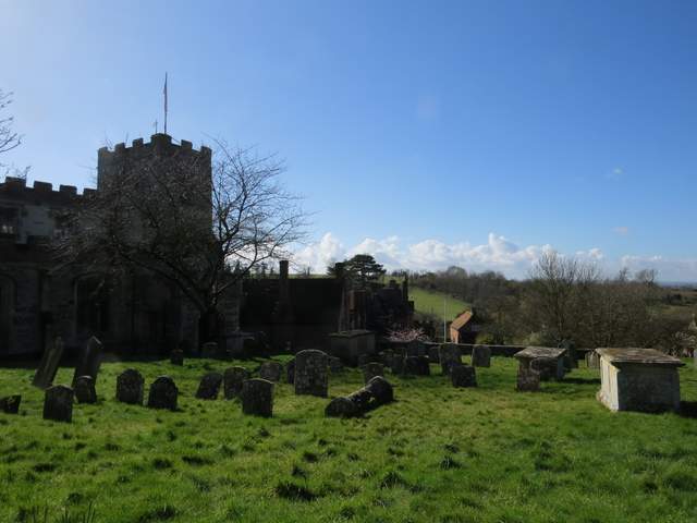
Church and almshouses, Ewelme
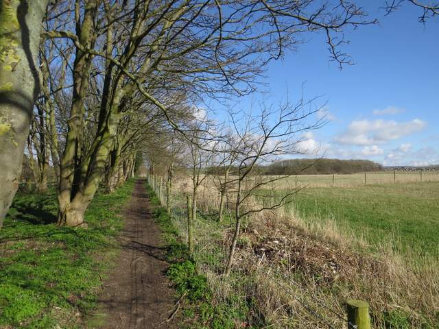
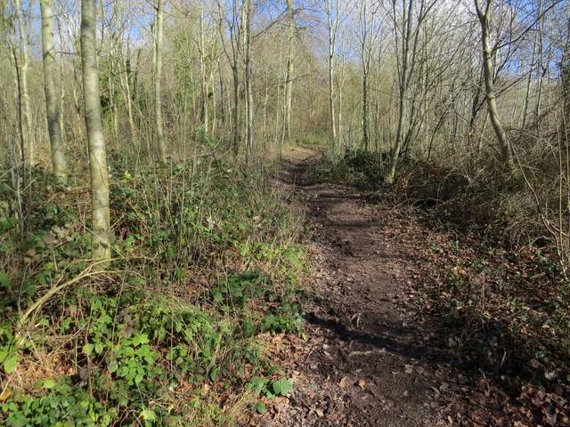
The footpath going northeast from Ewelme
The footpath going northeast from Ewelme
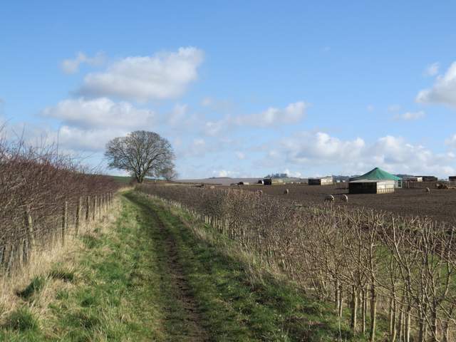
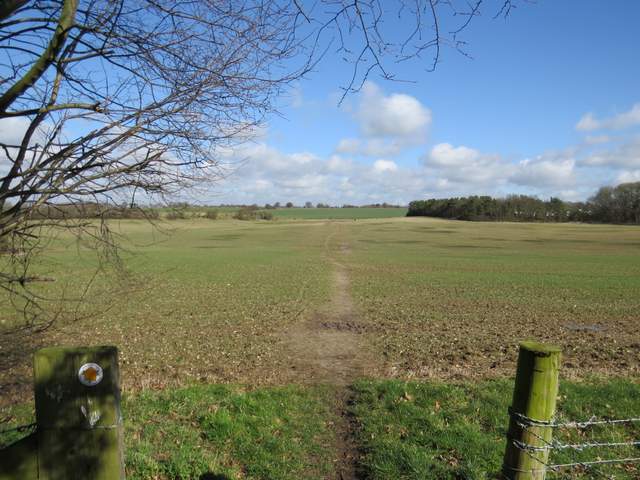
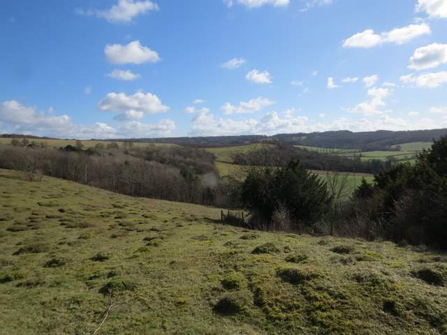
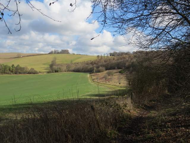
The bridleway going east, towards Swyncombe Downs
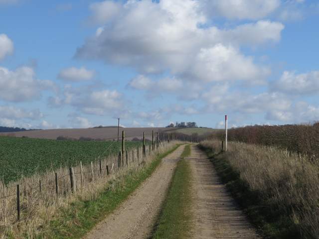
The bridleway going east, towards Swyncombe Downs
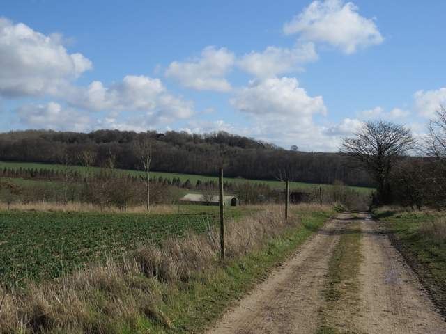
The bridleway going east, towards Swyncombe Downs (the wooded slope now in view)
At a track crossroads at the foot of Swyncombe Downs (close to a corner of a lane), I went a few yards left then turned to what was now my right, and went through a small area of Beech trees and picked up the obvious path on the other side. This immediately turned left and started to climb up the end of Swyncombe Downs. There were mainly small trees at the foot of the slope, further up I passed some Yews. At the top of the slope I emerged onto a nice grassy promenade, with pleasant views. Beyond this, the path ran through bushes on the left of the Downs, following the line of an ancient earthwork called the Danish Intrenchment (thought to be a boundary marker between the Danes and the Kingdom of Wessex, before the Danes were repulsed by King Alfred). To my left I had views along the Chiltern Escarpment, to Watlington Hill with Shirburn Hill and Beacon Hill (the one near Aston Rowant, not the one near Chequers) beyond.
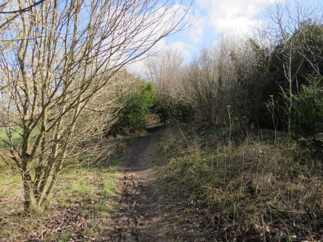
Near the start of the path up Swyncombe Downs
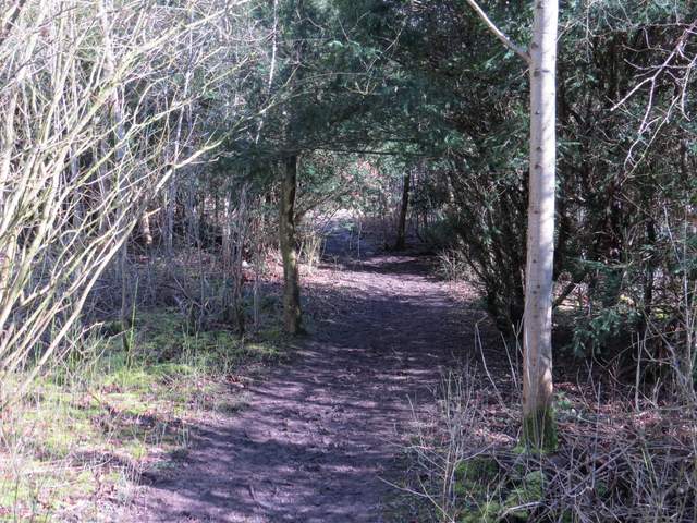
The path up Swyncombe Downs
Looking south from Swyncombe Downs
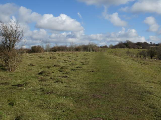
The path along the top of Swyncombe Downs
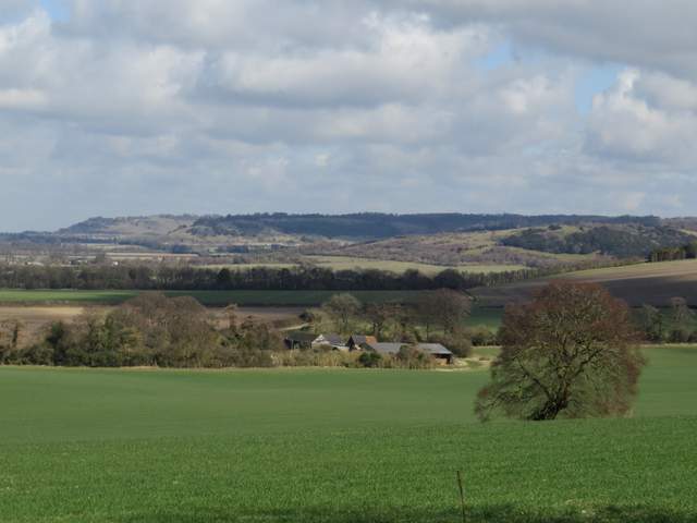
Looking northeast along the Chiltern escarpment from Swyncombe Downs - Beacon Hill (near Aston Rowant), Shirburn Hill, Watlington Hill)
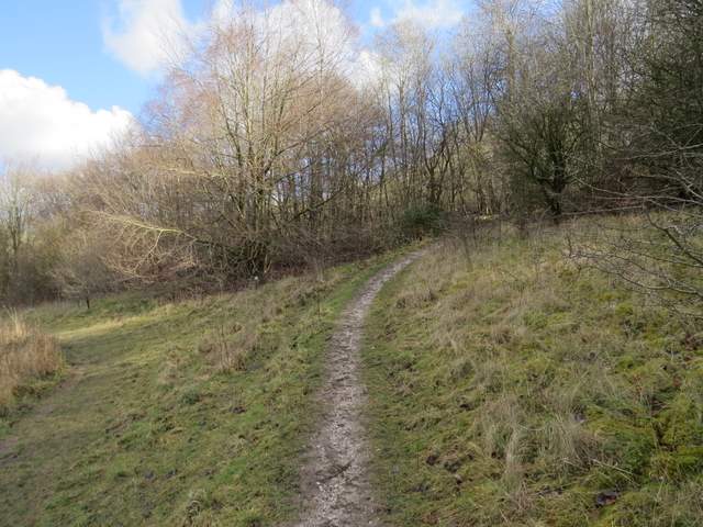
The path along the top of Swyncombe Downs
The path along the top of Swyncombe Downs
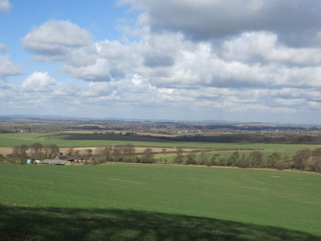
Looking North from Swyncombe Downs
Where the path turns to join the Ridgeway and go over the eastern end of Swyncombe Downs