Pete's Walks- Watlington Hill and Maidensgrove Common (page 1 of 3)
If you are considering walking this route yourself, please see my disclaimer. You may also like to see these notes about the maps and GPX files.
Google map of the walkDownload GPX file of the walk
UPDATE 30/10/2023: You now have to pay (£3 a day, I believe) at Watlington Hill car park, unless you are a National Trust member.
I did this roughly 11 mile circular walk on Saturday, 21st June 2014. This was a new route for me, though only half a mile was on paths I'd not used before on other walks.
I started from the car park on Watlington Hill (Grid Reference SU709936) about 10:15am (there was a rock festival being held at the farm opposite the car park, a band called The Dung Beatles were playing when I got back here later). I turned right along the road, following it for about a quarter of a mile to a T-junction where I turned right and entered Christmas Common. I followed the road through the village, which kept right at a fork. About a quarter of a mile past the fork, I took a footpath on the left (starting next to a former church), which ran through Queen Wood. At a path junction on the far side, I went a few yards left along a driveway to reach Hollandridge Lane. I went a short distance right here, then took a bridleway starting on my left.
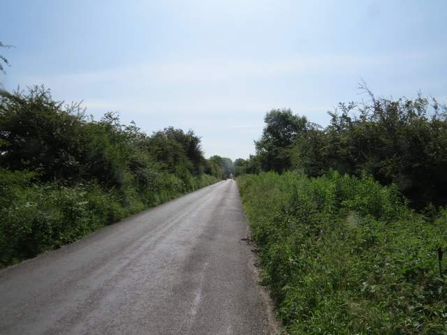
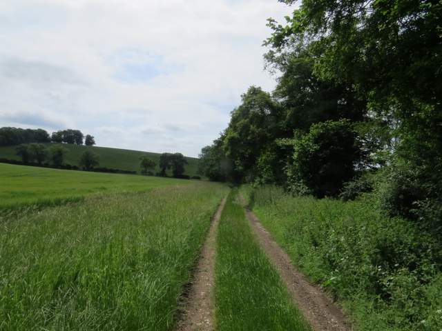
The road from Watlington Hill to Christmas Common
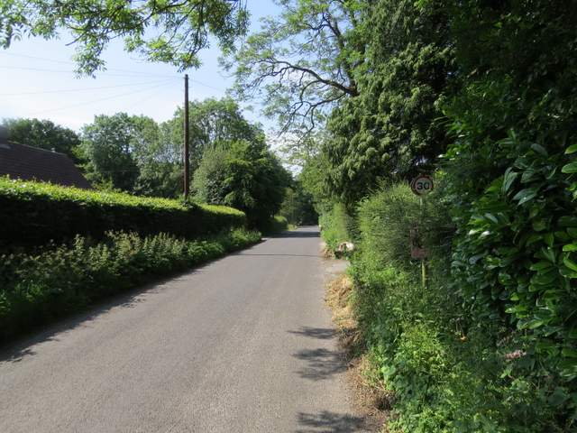
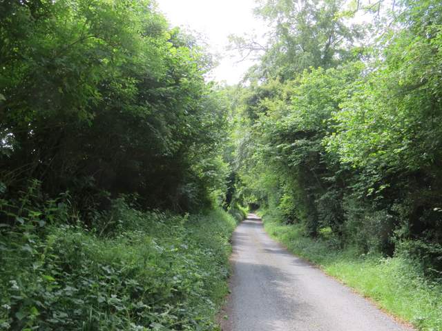
The road through Christmas Common
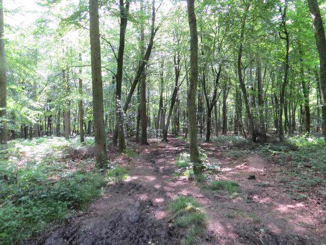
The path through Queen Wood
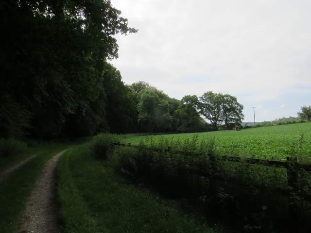
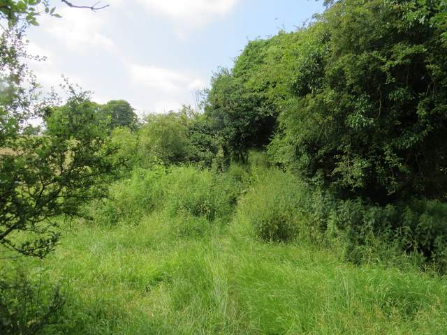
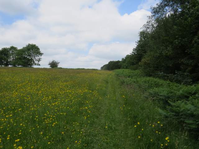
The bridleway dropped gently downhill through trees, turning right in the valley bottom and then continuing for almost two miles through Fire Wood. Eventually it left the wood and soon curved right to pass Turville Park Farm. Beyond the farm the bridleway continued along the valley bottom, soon running to the right of a tall hedge of trees and then switching to the other side. After two or three hundred yards I then reached a path crossroads, where I turned right and went up a slight slope to reach Hollandridge Lane again. I turned left, and followed the lane to its end (I passed some Wall lettuce growing here).
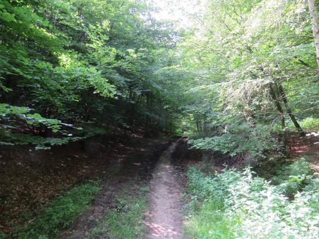
The bridleway through Fire Wood
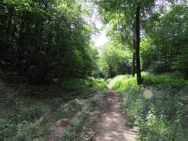
The bridleway through Fire Wood
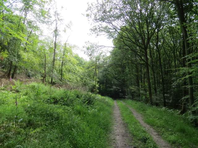
The bridleway through Fire Wood
Approaching Turville Park Farm
The bridleway continuing from Turville Park Farm
The bridleway continuing from Turville Park Farm
Hollandridge Lane
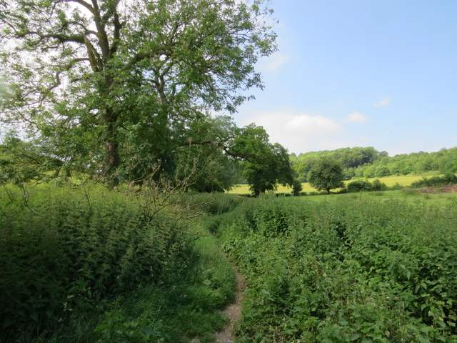
I turned left along the road at the end of Hollandridge Lane, heading towards Stonor, but after a couple of hundred yards or so I took a footpath on the right. This ran uphill through a narrow belt of trees to reach Pishillbury Wood, continuing uphill through the wood before levelling out. After some distance I came to a path junction in the wood close to Maidensgrove - the OS seems to indicate a crossroads of paths, but in fact it was a T-junction and I had to go a little distance left here and then turn right.
The start of the path to Pishillbury Wood
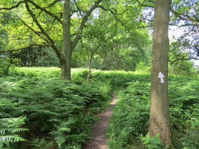
The path through Pishillbury Wood
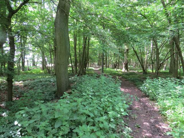
The path through Pishillbury Wood
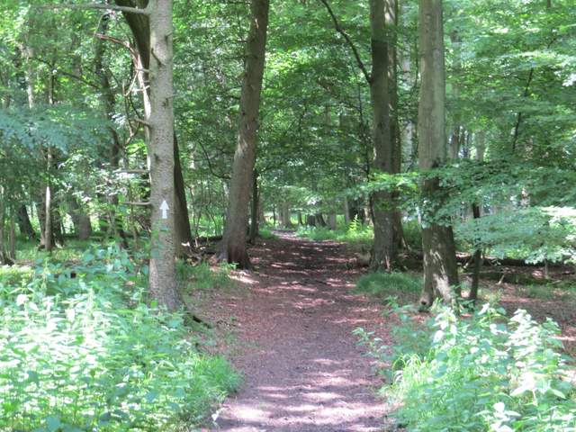
The path through Pishillbury Wood
The new path soon left the wood and continued along a private gravel drive. Immediately after passing a pond on my right (only yards before the drive ended at a lane), I turned right along the side of the pond to reach the huge grass expanse of Maidensgrove Common. I followed the right edge of the common for a hundred yards or so to reach a gravel drive, which I followed a few yards right to reach Maidensgrove Common Farm.
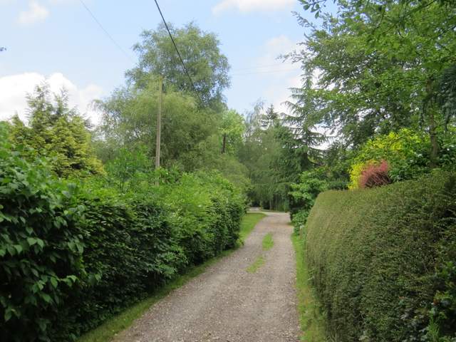
The private drive at Maidensgrove
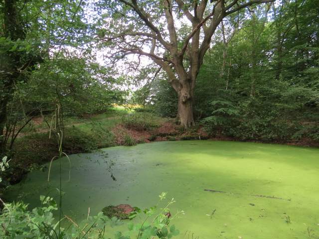
The pond on the edge of Maidensgrove Common (the path to the common goes just left of the tree on the far side)
A corner of the grassy expanse of Maidensgrove Common