Pete's Walks- Bison Hill and Totternhoe (page 3 of 3)
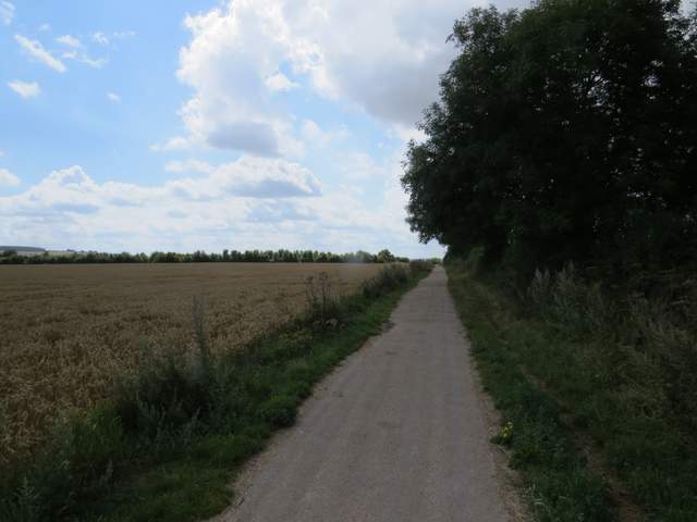
The track was surfaced with gravel again now, as it led up a slight hill, then turned right with views of the edge of Dunstable across the fields on my left. At a track crossroads I stopped to eat my lunch at a carved wooden bench, then turned left to follow a broad track called Green Lane into Dunstable
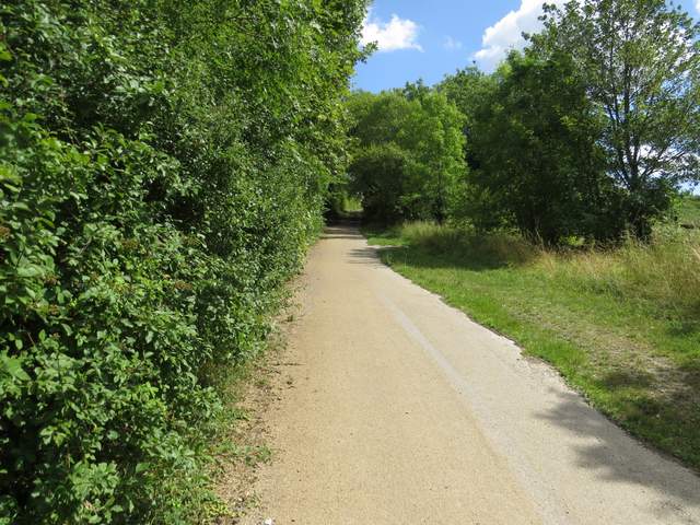
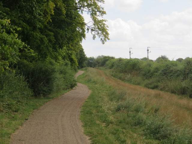
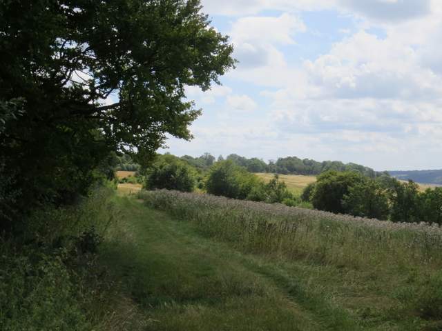
The track continuing from Sewell
The track continuing from Sewell
The track continuing from Sewell
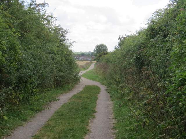
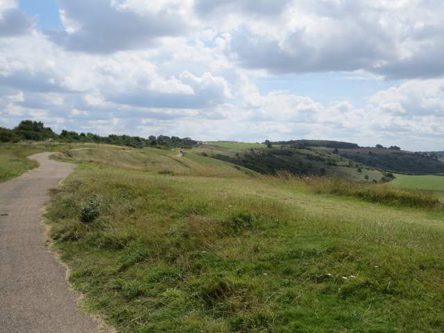
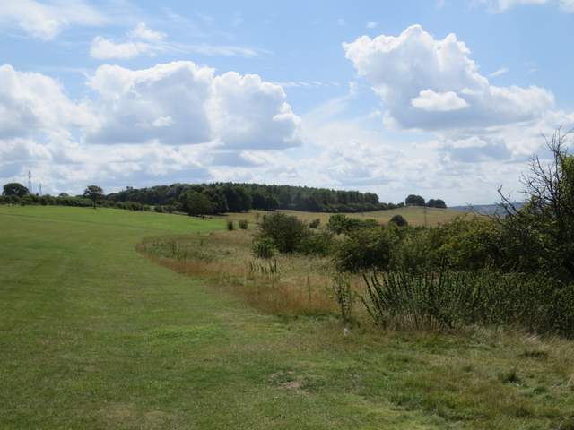
Green Lane, from the track crossroads where I joined it
Green Lane
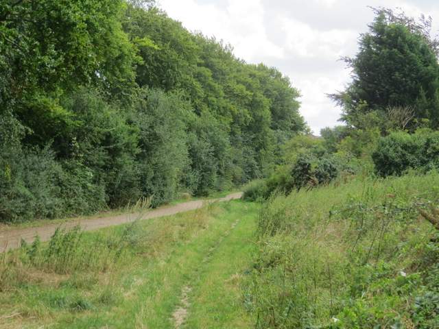
Green Lane
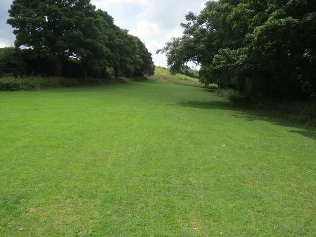
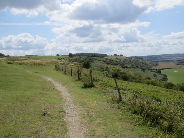
At the end of Green Lane I went a few yards right and used a pedestrian crossing to get over the main road here. I then continued by following a broad stretch of grass that led uphill towards Dunstable Downs. When I reached a fence near the top of the slope I found that both kissing-gates were padlocked, with signs saying that the area around the Five Knolls burial mounds was temporarily cordoned off because of erosion to this historic monument, so I had to take the path that went round to the left of them. Within a quarter of a mile this had merged with the path that I would have taken anyway, and I continued onwards along the top of Dunstable Downs - it was quite breezy here. This was a very nice section of the walk, with the splendid views out over the Vale of Aylesbury to my right. At a path fork I took the right fork, following a fence on my right, so that I would avoid most of the crowds who were enjoying this very popular beauty spot.
The path to Dunstable Downs
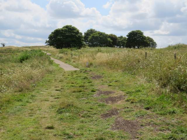
The path past the Five Knolls burial mounds (right)
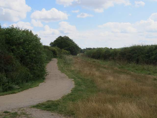
The path along the top of Dunstable Downs - Bison Hill is where rightmost trees on the skyline are
The path along the top of Dunstable Downs
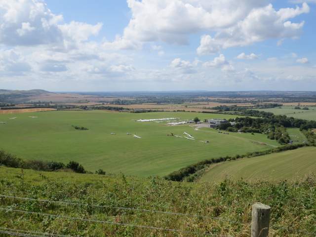
The London Gliding Club and the Vale of Aylesbury, from Dunstable Downs, with Ivinghoe Beacon on the left
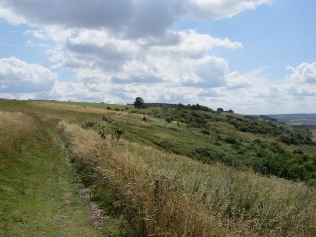
The path along the top of Dunstable Downs
After some time I passed the Chiltern Gateway visitor centre over to my left, and a little further on I reached a crossing fence line, where I turned left for a short distance. I then turned right through a kissing-gate into the corner of a huge meadow or pasture - technically this was now Whipsnade Downs, though most people think of it all as Dunstable Downs (part of the Downs is actually in my home parish of Kensworth). The path immediately forked and I chose to take the right fork, just to cut out a small corner of the meadow or pasture. But the path was soon running along the fence or hedgeline on the left of the meadow, and I followed it for about half a mile, still enjoying the far reaching views to my right. Eventually I reached a gate in the far corner of this huge field, and then I just had a few yards to go, downhill and to the right, to return to the Bison Hill car park.
The path along the top of Dunstable Downs, near the Chiltern Gateway visitor centre
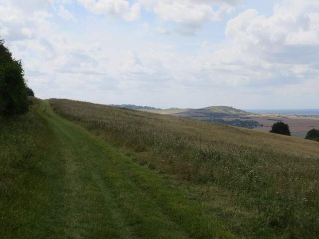
The path continuing along the top of Whipsnade Downs, with Ivinghoe Beacon ahead
Approaching the car park on Bison Hill
It was about 3.20pm when I got back, the walk having taken just over three hours allowing for my lunch break. I thought it was a really good walk, mainly because of the excellent views, not only from the Downs at the start and end of the walk, but also from Totternhoe Knolls in the middle of the walk. There was a bit of historic interest in the old castle site at Totternhoe Knolls and the ancient burial mounds called Five Knolls (plus the old drovers ways, seen as sunken tracks on the Downs and also as the broad track called Green Lane). There were many wildflowers about, and numerous butterflies (I've only mentioned the more unusual species that I saw). It's certainly a walk I'd be happy to do again.