Pete's Walks- Coombe Hill and Kingsash (page 4 of 4)
After following the track for about half a mile, I turned left along another broad path through the trees - the OS map shows that this junction was close to the north-east corner of the iron-age hill fort on Boddington Hill, but I didn't really see it in the trees. After one or two hundred yards I came to a fork where I went right. Trees had been felled on my left here, and there was a view over The Hale to the woods I'd walked through earlier. After a while this path descended gently and when it levelled out I took a short track forking left to join Hale Lane. I continued on down the lane for about half a mile to reach the edge of Wendover.
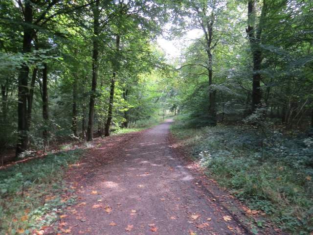
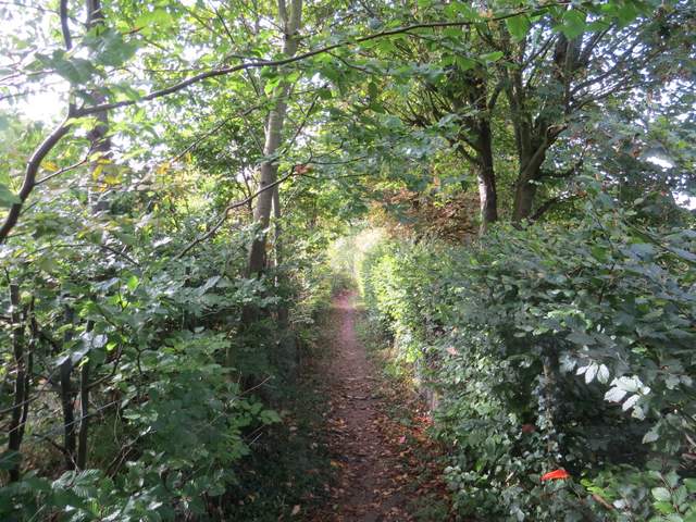
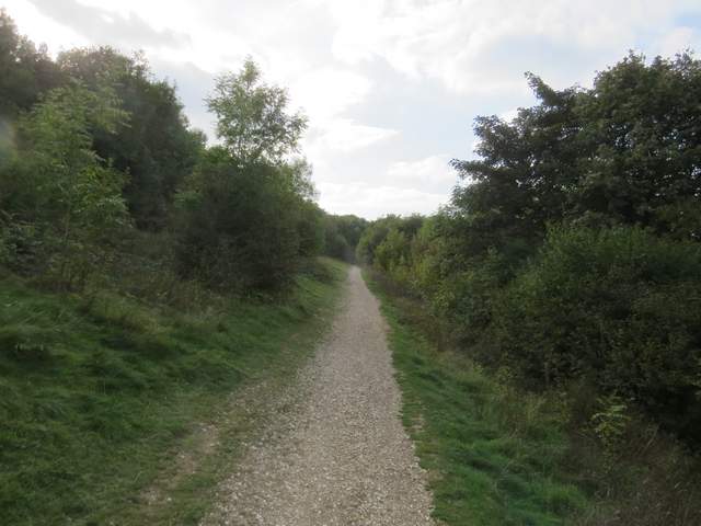
The path to the northeast of the hillfort on Boddington Hill
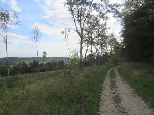
After forking right, this is a view out over the valley called The Hale - I'd earlier walked through the woods on the opposite hilltop
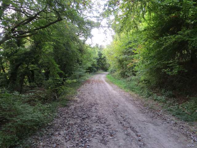
The same path further on, just before reaching Hale Lane
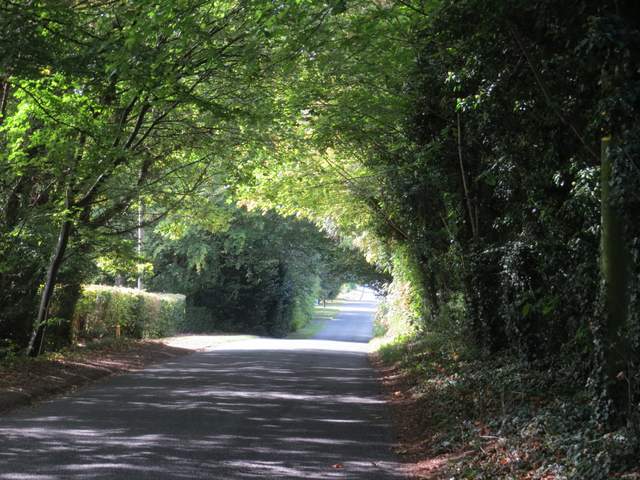
Hale Lane
I turned right, then after maybe a couple of hundred yards took a footpath on the left. This ran between garden fences for some distance, until it crossed a stream. I turned right alongside the stream and soon came to Chapel Lane - here I mistakenly went straight on instead of turning left along the lane. I soon rectified the error by taking a footpath on the left (on the far side of an open green space) which took me to a road where I went a few yards left and took Bacombe Lane opposite (if I'd gone the way I went last time, I'd have turned right at the end of Chapel Lane to reach Bacombe Lane). I followed Bacombe Lane for about half a mile, before taking the second footpath on the right. This went diagonally uphill across a paddock. I then crossed a sunken lane taking a bridleway up Bacombe Hill and went steeply uphill through bushes for a few yards to emerge by a tumulus (ancient burial mound) on Bacombe Hill.
The first footpath I took in Wendover
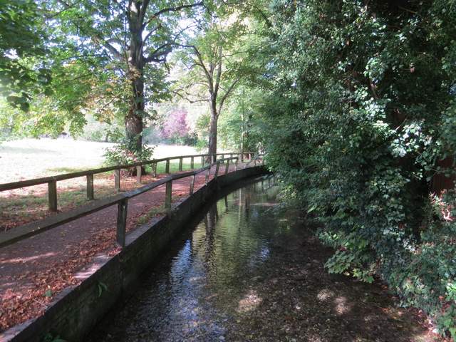
The stream in Wendover
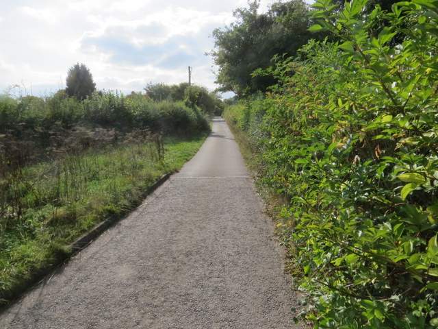
Bacombe Lane
Looking back over Bacombe Lane towards The Hale, surmounted by Wendover Woods. Boddington Hill is on the left.
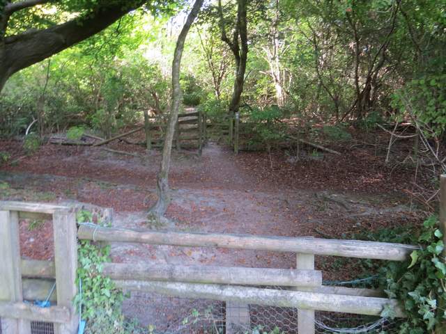
Crossing the bridleway up Bacombe Hill
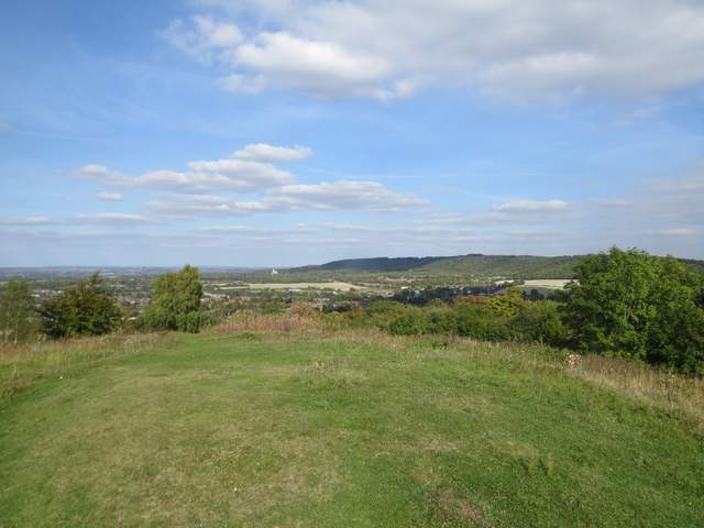
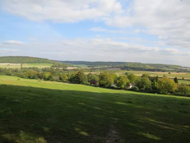
View over Wendover from the tumulus on Bacombe Hill
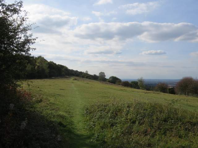
After admiring the views from the tumulus, I turned left and followed a pleasant path along the top of Bacombe Hill. After a few hundred yards this merged with the Ridgeway national trail, coming up on my right, and the now surfaced path led on to the Boer War memorial on top of Coombe Hill. Again I admired the views out over the Aylesbury Plain. Instead of taking the usual path back to the car park (which starts along a broad stretch of grass), I continued along the Ridgeway, which went a little further right, following the edge of a row of bushes with a steep slope dropping down on my right. On reaching a fence I turned left, soon passing the kissing-gate I used at the start of the walk and reaching the car park a few minutes later.
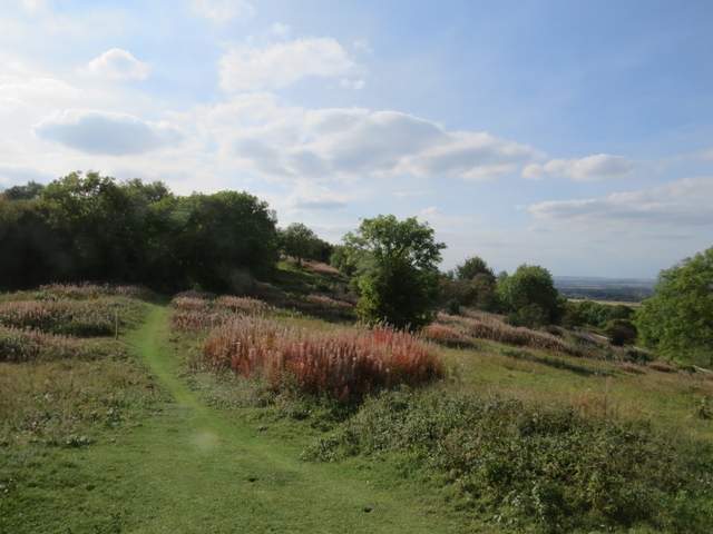
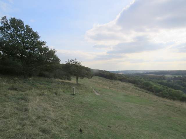
The path from Bacombe Hill to Coombe Hill
The path from Bacombe Hill to Coombe Hill
The Ridgeway heading to Coombe Hill
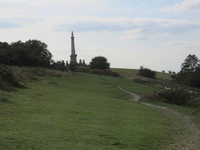
Approaching the monument on Coombe Hill
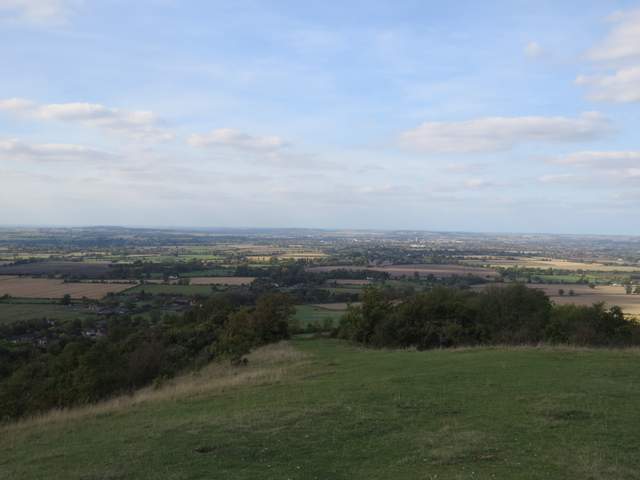
The Vale of Aylesbury from Coombe Hill
The path from the monument, still part of the Ridgeway
I really enjoyed this walk when I did it clockwise last November, but I thought then that it would be best in that direction because I'd get the best of the views. I think I was right - doing it anti-clockwise I did find I was looking back to admire the views on occasions. Nevertheless it was still a good walk, just not quite as good as in the other direction. There was lots of woodland walking with a few sections through fields, and plenty of good views. The trees are starting to show their Autumn colours, and that definitely added to the scenic attractions.
This was my first walk for about seven weeks and I'm afraid I've over done it. I'm still weak from that virus I had 18 months ago, and I felt quite ill for a couple of days after the walk (I actually took Monday off work and went to the doctors). It's worrying that I felt much worse than when I did this walk the other way round last November. So I don't know when I'll be out walking again.