Pete's Walks- Amersham Old Town and Winchmore Hill (page 1 of 2)
If you are considering walking this route yourself, please see my disclaimer. You may also like to see these notes about the maps and GPX files.
I parked in the car park in Amersham Old Town - it was almost full, presumably because of the large number of people attending a Remembrance Day service at the nearby church. I started walking about 11.25am. At the entrance to the car park I turned right and walked down the High Street - I don't normally enjoy walking through towns, but I always enjoy walking down this street with its numerous old buildings. I continued alongside the road as it left the town, the pavement on the left soon going a few yards left to continue beside the A413 main road for a hundred yards or so, before passing under the road beside the river Misbourne. At the end of the pavement I continued more or less straight ahead, through the gates of a large property called Shardeloes (out of sight on the hillside ahead of me).
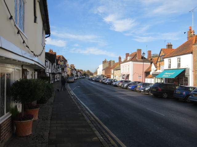
Part of the High Street in Amersham Old Town
The road out of Amersham Old Town, shortly before the path joined the main road to the right

The entrance to the grounds of Shardeloes
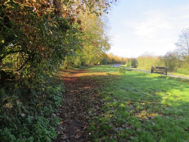
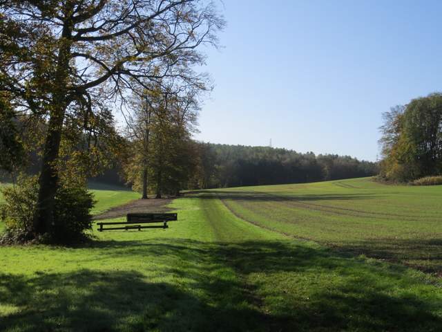
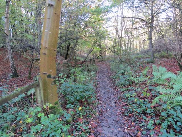
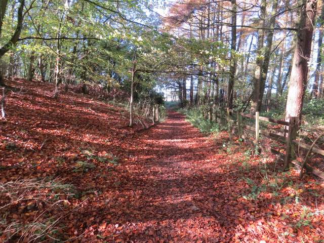
I followed the drive to Shardeloes for about a quarter of a mile or so, then took a footpath going left. This ran beside an intermittent hedge initially, passing a number of horse-jumping fences. Further on it continued past Wheatley Wood on my left, before following a hedge on my left to reach another wood (named The Rough Park on the OS map). The path continued through the wood, initially close to a fence on the left, for about three-quarters of a mile before reaching the lane to Mop End Farm (nearby on my right).

The start of the path from Shardeloes to Mop End
The path from Shardeloes to Mop End
The path from Shardeloes to Mop End
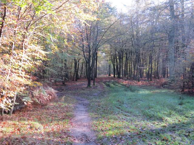
The path continuing through The Rough Park
The path continuing through The Rough Park
The path continuing through The Rough Park
The path continuing through The Rough Park
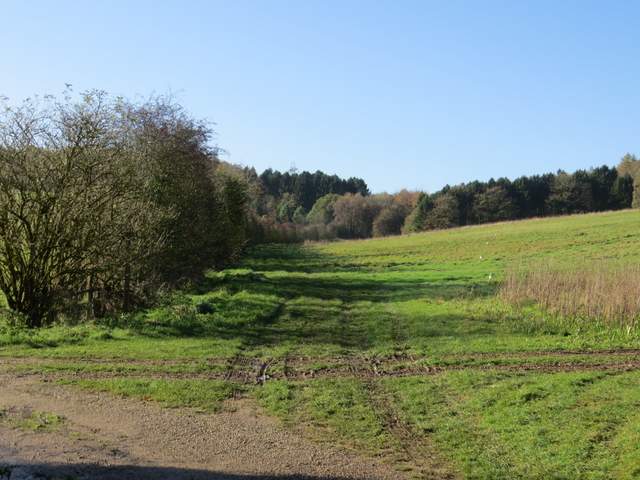
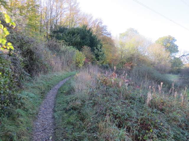
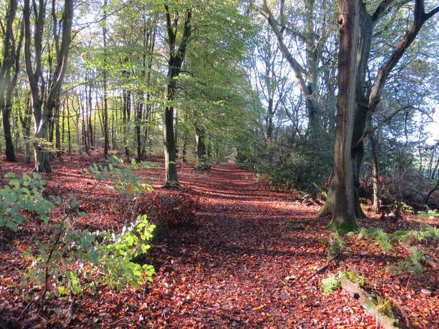
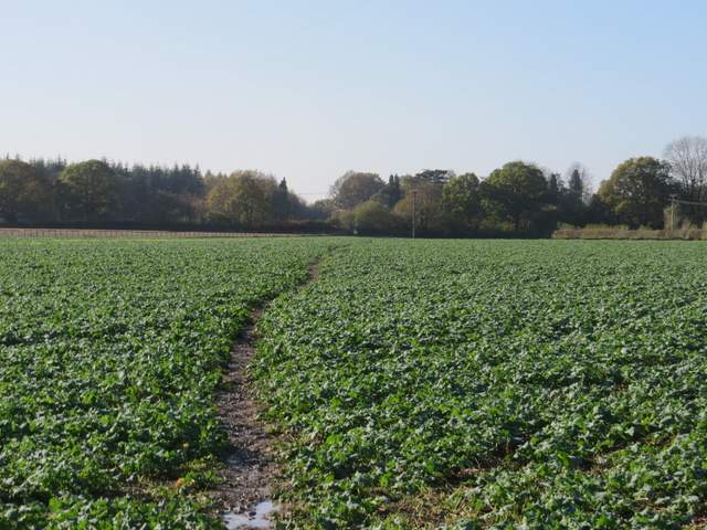
Across the lane I took the leftmost of two footpaths, going slightly left across a field of cabbages. I then crossed a track called Toby's Lane, and continued over a cattle pasture to a gate on the other side. The path continued on, soon reaching a private drive which led me on to Beamond End Lane. Here I turned left, and then left again (actually more or less straight on) at the next junction to reach the A404 main road. Safely across the road, I entered Penn Wood and followed a path straight on through the wood (ignoring a couple of paths going left) for about three-quarters of a mile to reach the village of Penn Street.
The path continuing from Mop End farm to Beamond End
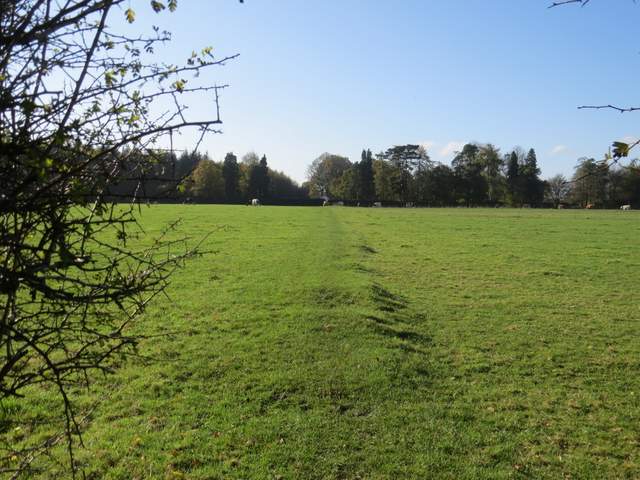
The path continuing from Mop End farm to Beamond End
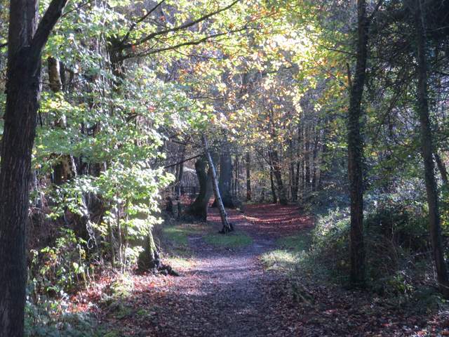
The entrance to Penn Wood
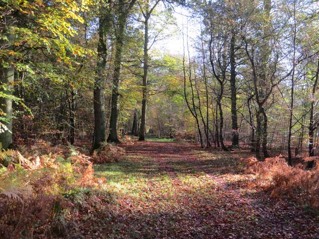
Penn Wood
Penn Wood