Pete's Walks- Redland End and Bryant's Bottom (page 1 of 6)
If you are considering walking this route yourself, please see my disclaimer. You may also like to see these notes about the maps and GPX files.
Google map of the walkDownload GPX file of the walk
I did this circular walk of about 7.7 miles on Sunday, 12th April 2015. Not only was it a new route for me, all but the last mile or so was on paths that I'd never walked before. As so much was new to me, I took far more photographs than I would normally and so I've spread this description of the walk over six pages.
One reason I'd not walked in this section of the Chilterns before is that it is spread over two of the three OS Explorer maps (171, 172 and 181) that cover the majority of the area. It was only a year or so ago that I discovered Great Hampden and Speen were so close together - as they were on different maps, in my mind they were in totally separate parts of the Chilterns! I find it much harder to plan a route that spreads over more than one map, so to get round this I recently bought a 'personalised' map from the Ordnance Survey - this is simply a map centred on a location that you specify, so I chose a place (West Wycombe) close to where the three maps join. Hopefully I'll be able to use it to plan more new walking routes in this area, linking places that I used to think were far apart.
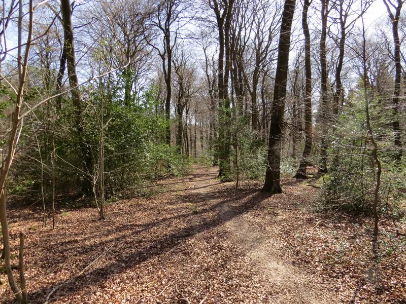
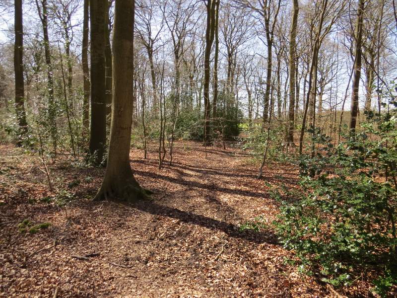
I parked in the remote hamlet of Redland End, where a footpath crosses a lane at Grid Reference SP 834021 (there is room for 3-4 cars to park beside the road, I'd parked here before each time I walked the Chiltern Way). I started walking about 11.30am, immediately entering what was new territory for me by going over a stile and following a footpath along a grassy strip with conifers. I soon spotted a Peacock and a Small Tortoiseshell (rather disappointingly these would be the only two butterfly species I'd see today). The path soon led to a lane, where I turned right and immediately came to a junction. On the other side of it, a footpath sign indicated the way I wanted to continue, along a surfaced drive through woods towards Coppice House (the house name on the gates confirmed I was on the right path).
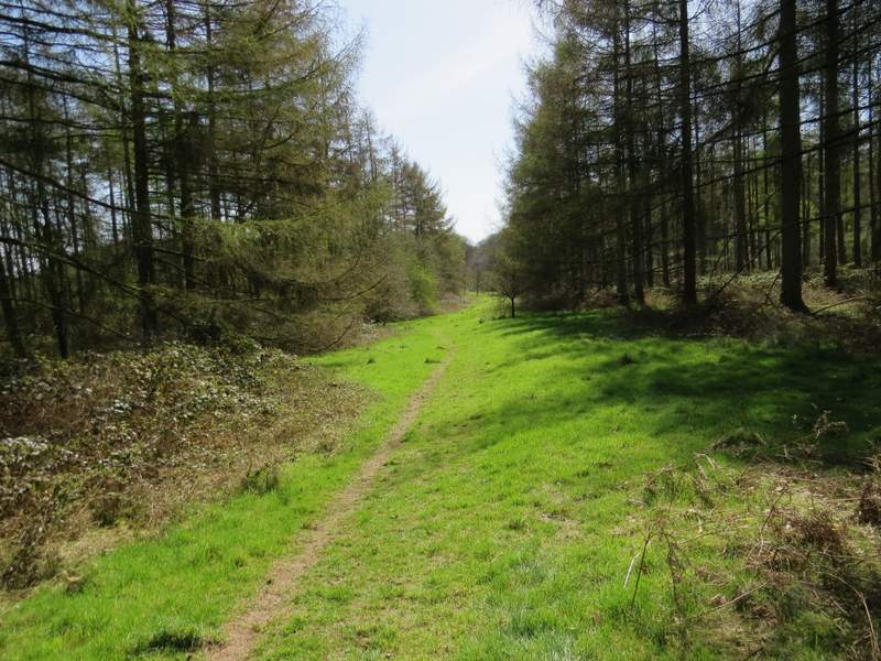
The path from Redland End
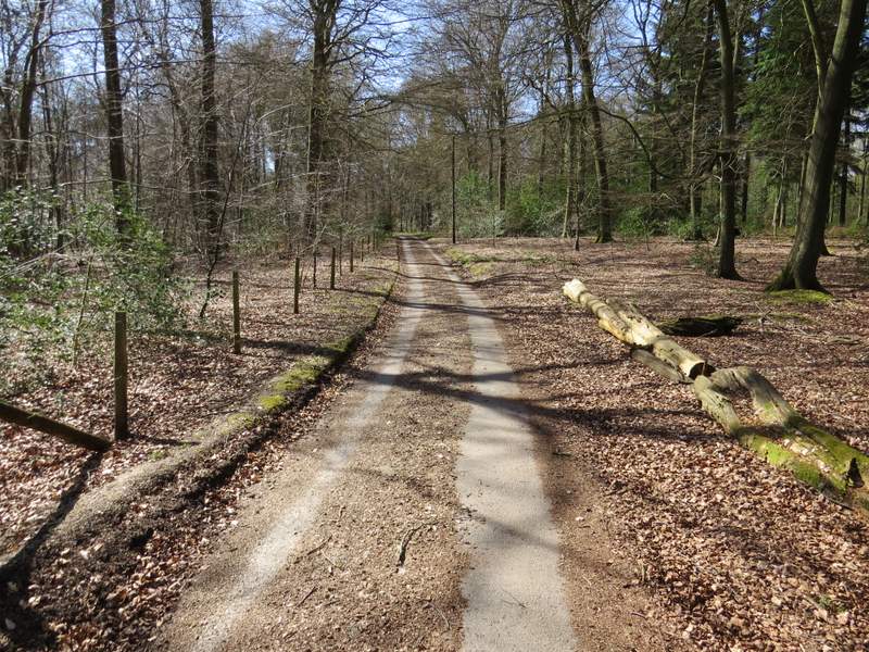
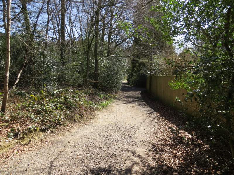
The drive to Coppice House
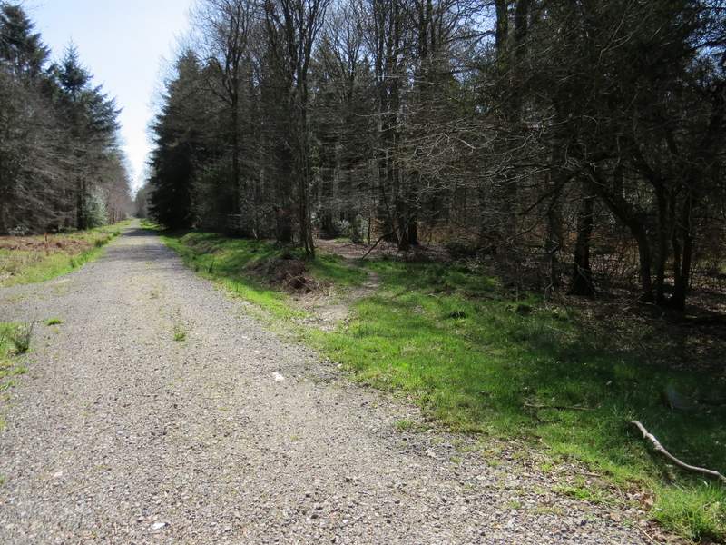
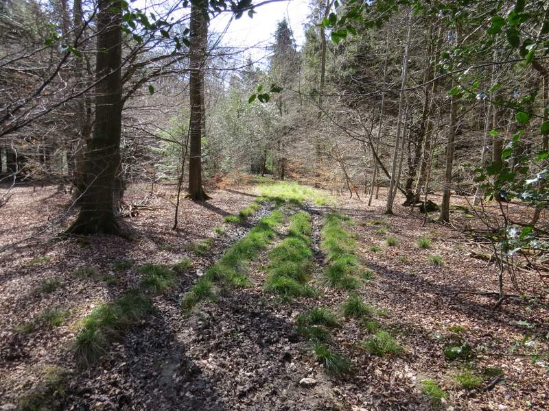
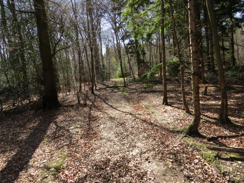
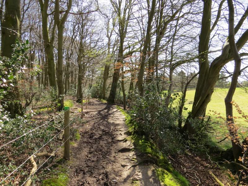
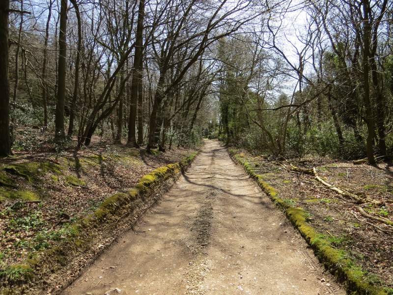
After a few hundred yards, a little before the drive reaches Coppice House, a footpath crosses the drive (there isn't a sign or waymark, but a gap in the wire fence on the left indicates where the path goes). It wasn't too clear from the OS map, but to continue southwards through Monkton Wood I had to turn left through the gap in the fence, then after only a few yards take the right fork at a path junction. After a short distance through the wood I reached a gravel track - I had to go a few yards left to where the path re-entered the woods on the other side of the track. After a hundred yards or so I was becoming concerned that the path was staying almost parallel to the track instead of gradually diverging from it as the map shows. A bit further on I spotted a white arrow on a tree a few yards to the right of the path - I made my way to it, and found it was pointing down an old track. There were more faint white arrows as I followed the track through the wood. I passed the end of another gravel track, heading off to my left, before the path reached a section of beech wood - I had to look carefully for white arrows on trees to point the way, but managed to make my way to a five-path junction on the western edge of Monkton Wood (UPDATE 29/05/17: This path now seems to have been corrected so that it matches what is shown on the OS map - if the path ends at a T-junction with the edge of the wood immediately in front of you, turn left to reach a path crossroads where you will then want to go straight on).
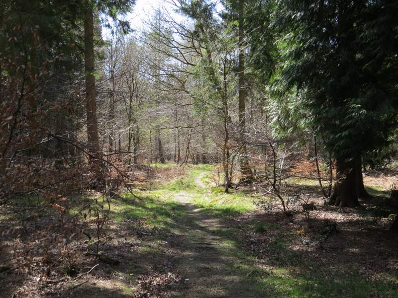
The path through Monkton Wood
The path crossing the drive from Coppice House
The path through Monkton Wood
The path through Monkton Wood - this is part of the old track that I joined
The path through Monkton Wood
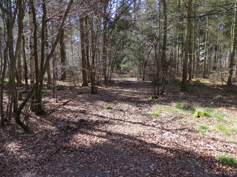
The path through Monkton Wood, just after passing the end of another gravel drive
The path through Monkton Wood, approaching the 5-way junction at the edge of the wood
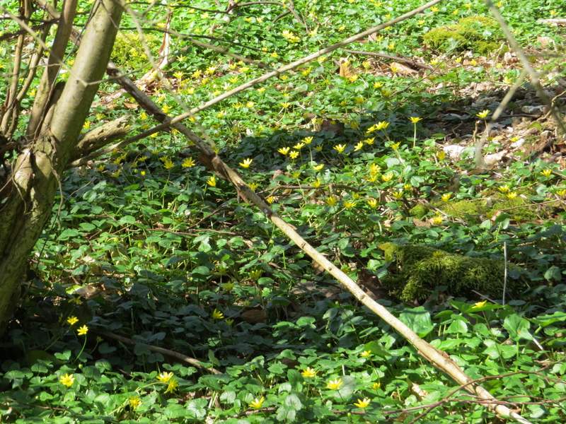
This five-way junction was one of three or four points on this walk where I crossed or touched on paths I've used before - I'd used three of the paths here before (two of them most often on my Coombe Hill and the Hampdens walk and on my Four hills walk). I went a few yards right, then turned left to continue along a rather muddy path on the very edge of the wood, with fields on my right. This led to a short gravel drive and then to a road on the edge of Speen. I crossed over and continued along a bridleway, noticing a mass of Lesser Celandines on my right.
The footpath along the south-western edge of Monkton Wood
Near the end of the footpath along the south-western edge of Monkton Wood
The bridleway on the edge of Speen, next to College Plantation
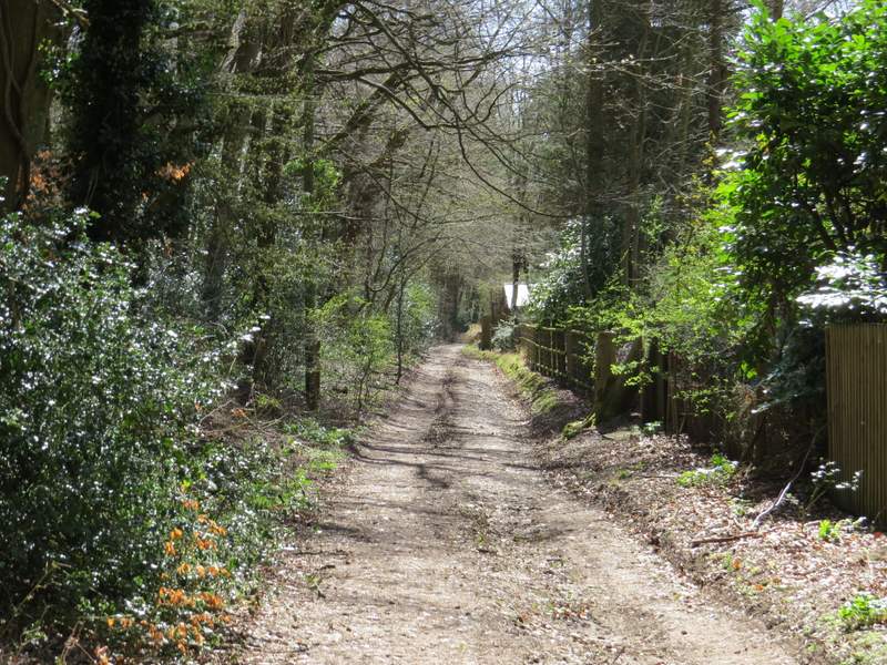
The bridleway on the edge of Speen, next to College Plantation (I turned right just before the building with the shining roof)