Pete's Walks- West Wycombe, Green End, Bradenham, Downley (page 1 of 4)
If you are considering walking this route yourself, please see my disclaimer. You may also like to see these notes about the maps and GPX files.
PLEASE NOTE: The very large car park in West Wycombe used to be free. When I came here on 15th January 2022 I found it is now a pay and display car park, only free if you stay less than one hour and costing £4 if you stay more than 2 hours. I think you have to pay by credit card, I don't think the machine takes cash.
Google map of the walkDownload GPX file of the walk
I did this circular walk of about 7.6 miles on Monday, 4th May 2015 (a Bank Holiday). The first half of the walk was on paths I'd not walked before (apart from the initial quarter of a mile or so), then from Bradenham onwards it was mainly on paths I'd not used for a few years (until I got back to West Wycombe). As usual, I took more photos along the section that was new to me than the section I'd walked before.
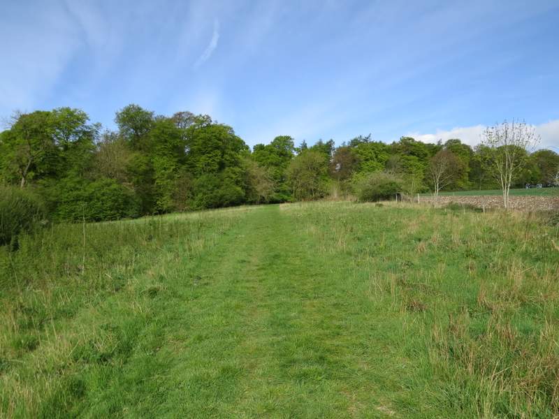
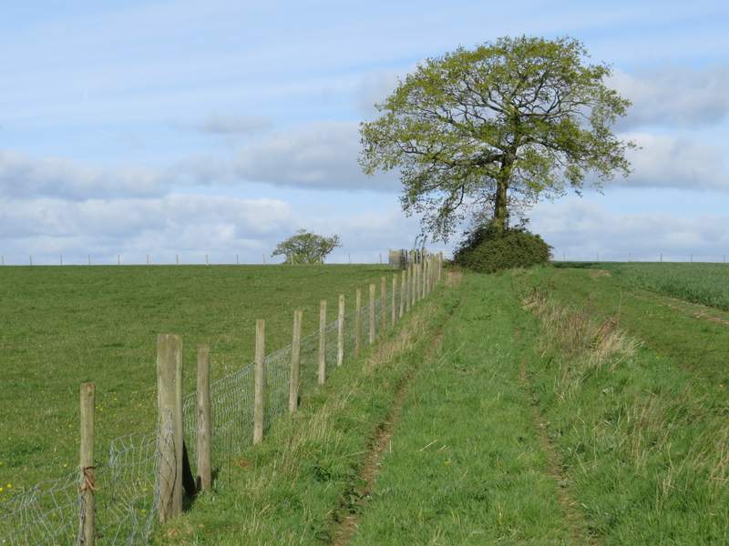
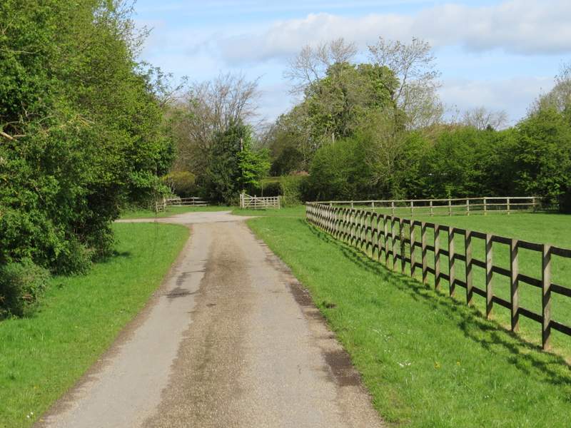
I parked in the large village car park in West Wycombe, next to the garden centre, and started walking about 8.55am. I turned right, towards West Wycombe, then turned right again to immediately leave the village and head southwest-wards along the A40. After three or four hundred yards, almost opposite the start of a lane going left to Towerage, I took a footpath forking half-right. This climbed steadily uphill through two large corn fields - I was impressed here and elsewhere today at how well the West Wycombe estate maintain the footpaths on their land. I heard and saw a few skylarks over these fields, and I enjoyed the views all around me. Beyond the second corn field, the path continued along a track through an area of rough grass, close to a hedge on my left. The track merged with another one, the combined track now going slightly right for a few yards before a waymark on a post indicated where the footpath entered Great Cockshoots Wood.
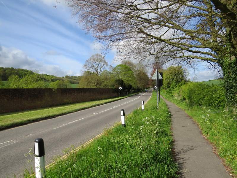
The A40 going southwest from West Wycombe
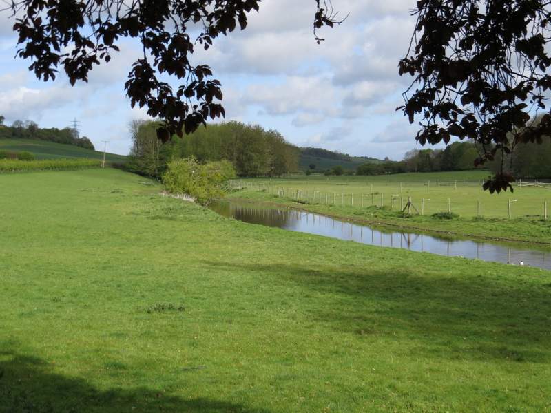
Looking left from the A40 to a section of the River Wye
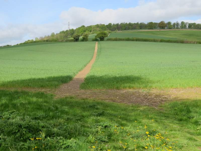
The footpath to Great Cockshoots Wood
Looking back from the footpath to Great Cockshoots Wood
The footpath to Great Cockshoots Wood
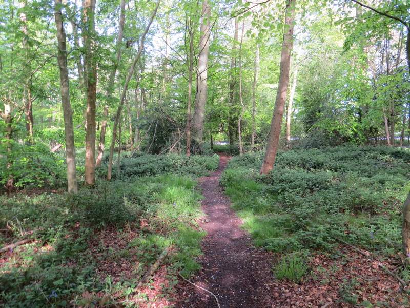
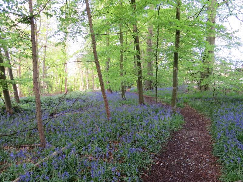
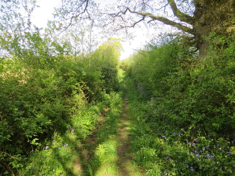
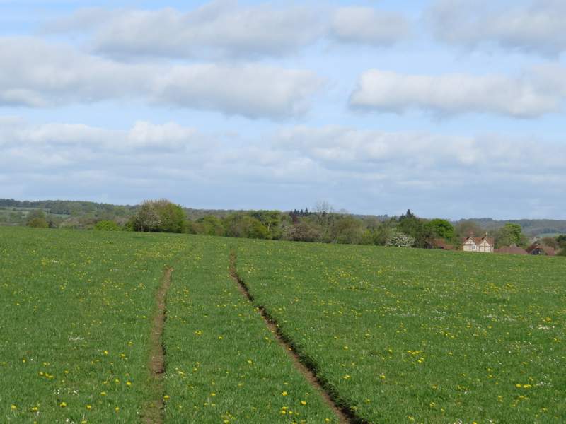
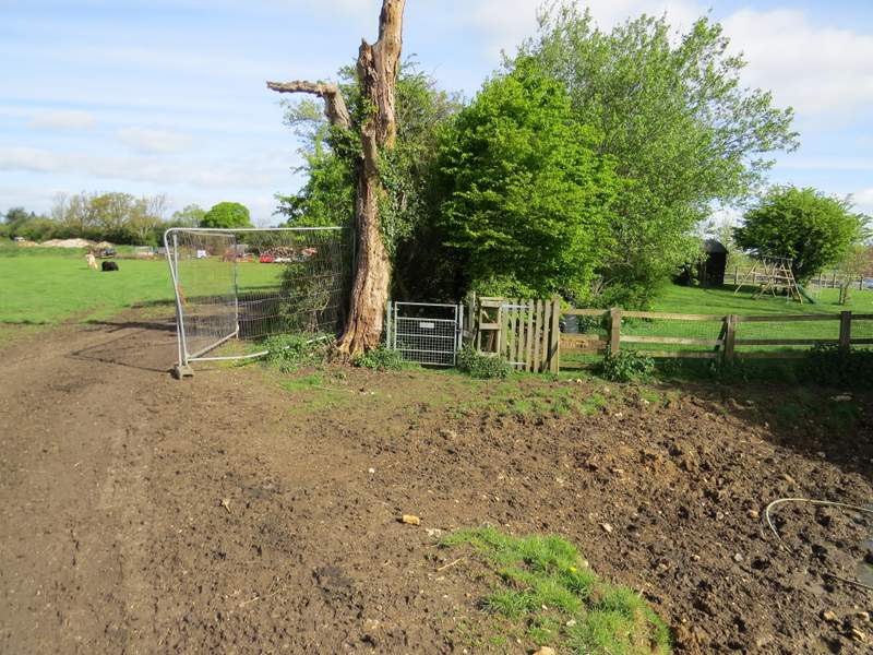
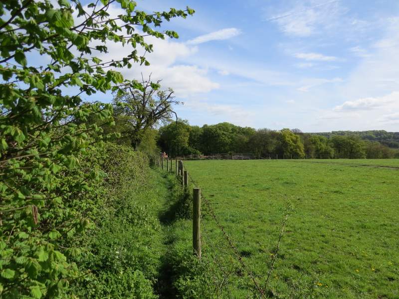
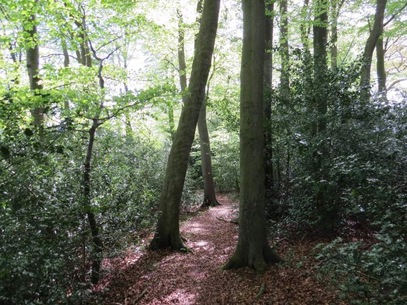
The path continued roughly westwards through the wood, where there were some good displays of Bluebells. On the far side of the wood I turned right along a bridleway, but after just a few yards turned left at a junction to follow a path heading northwest towards Green End Farm. Initially there were hedges either side, with a few more Bluebells and other flowers, including Greater Stitchwort. The path then continued by a fence on the left, passing a couple of isolated trees. At a path junction where this fence met a crossing fence, I continued ahead, tractor tracks now indicating the path as it crossed a huge meadow or pasture, speckled with Dandelions. As I neared Green End Farm, the path kept to the right of an old hedgeline. When this met an electric fence, I went over a stile and turned right to continue along the other side of the hedge. Just past a pond, and by an open gate into a cattle pasture, the path continued through a metal pedestrian gate. The path now ran between a hedge on my left and a fence - a couple of dogs barked from Green End Farm on my right. The path then followed the drive from the farm to reach the hamlet of Green End (part of the scattered parish of Radnage, I think).
Great Cockshoots Wood
Great Cockshoots Wood
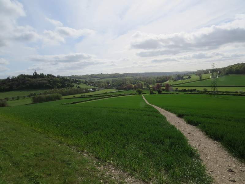
Near the start of the footpath to Green End Farm
The footpath to Green End Farm
The footpath to Green End Farm (the building on the right)
The footpath going past Green End Farm (continues through the metal gate)
The footpath going past Green End Farm
The drive from Green End Farm
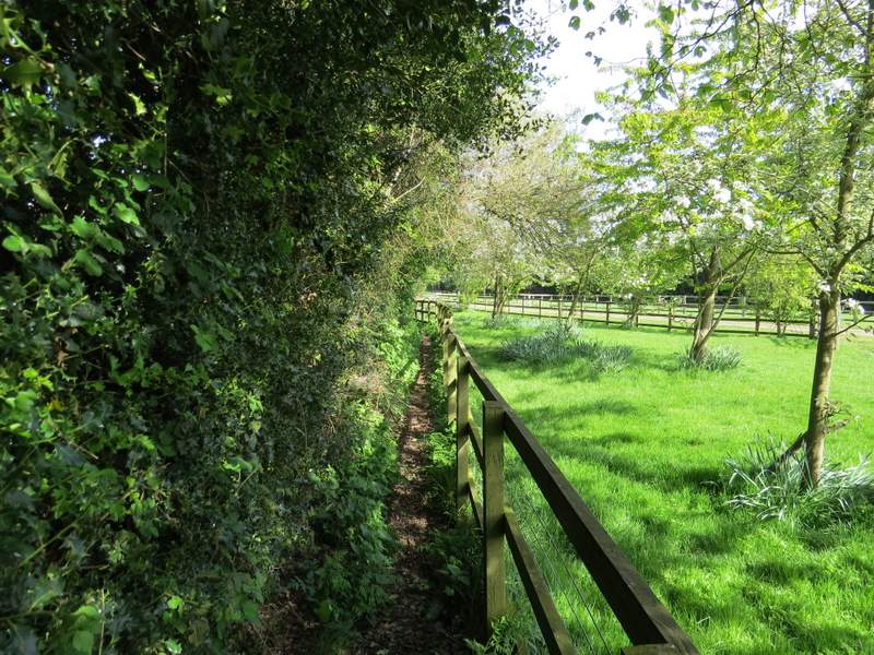
I turned right along Hatch Lane, but after a few yards took the footpath that runs parallel to it on the right. This ran between the hedge next to the lane on my left and a wire fence next to a large cattle pasture. It dropped down hill, then turned right and entered part of Chawley Wood (there is obviously some confusion over Chawley and Chorley hereabouts - apart from the wood there are two farms with Chawley in the name, but a farm and a road spelled Chorley). At a path junction I ignored the short path going left to rejoin Hatch Lane, and continued straight on through the wood. I was now on the northern edge of the wood, with occasional views on my left across fields to the steep slope on the other side of the valley.
The footpath next to Hatch Lane
The footpath next to Hatch Lane
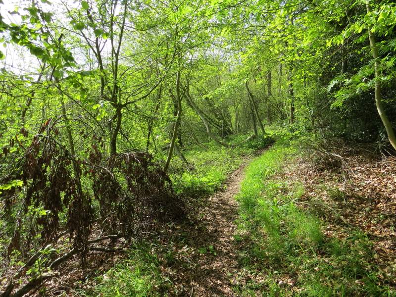
The footpath through Chawley Wood
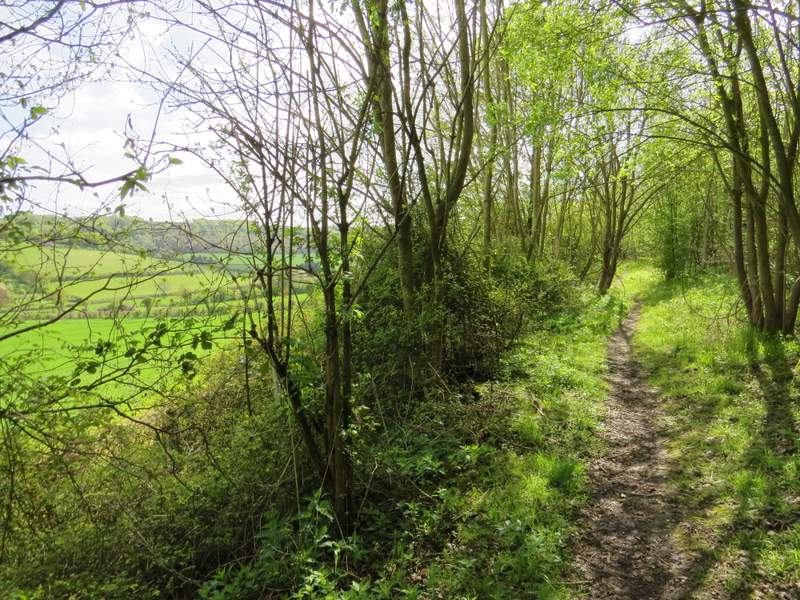
The footpath through Chawley Wood
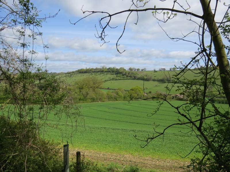
View left from the footpath through Chawley Wood