Pete's Walks- Maidensgrove Common and College Wood (page 4 of 4)
If you are considering walking this route yourself, please see my disclaimer. You may also like to see these notes about the maps and GPX files.
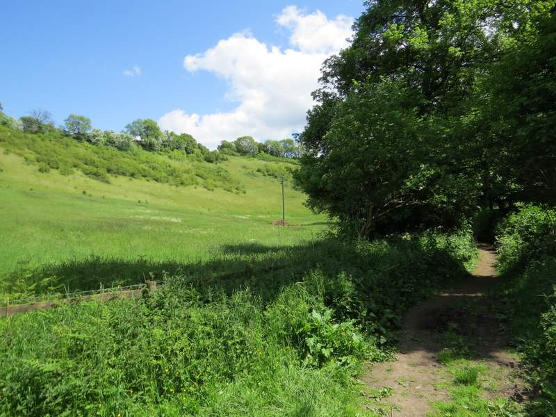
After about half a mile, I came to a path crossroads (where I met another part of the Chiltern Way coming the other way). The path going left went up a very steep scrub-covered slope, heading to Maidensgrove Common - it looked interesting, I'll try to include it in another walk sometime. But today I just continued following the bridleway along the valley bottom until it met another track in Upper Bix Bottom - two footpaths also meet here making it a five-way junction for walkers, and it is an important point on the Chiltern Way as it is where the Southern Extension branches off the original route.
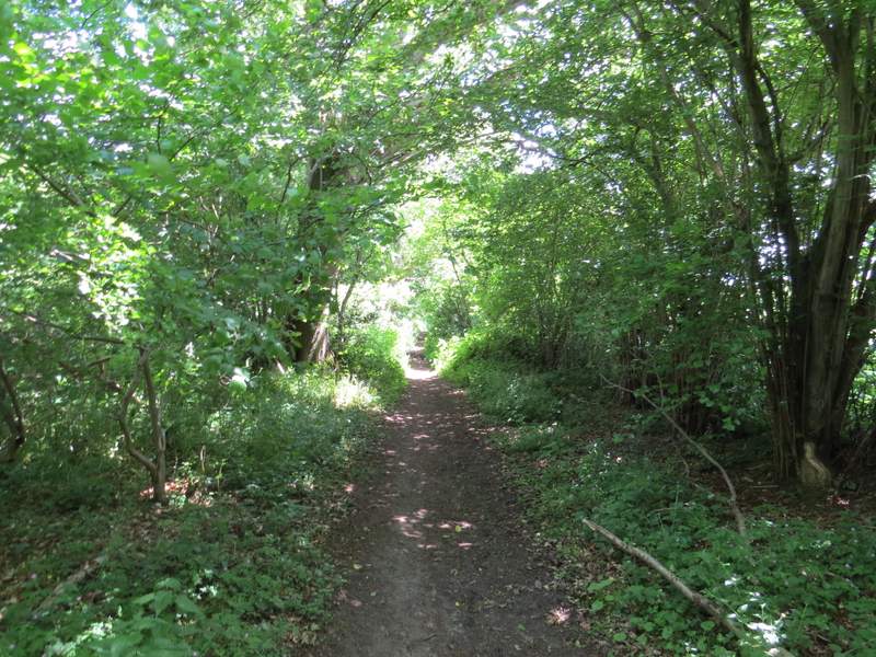
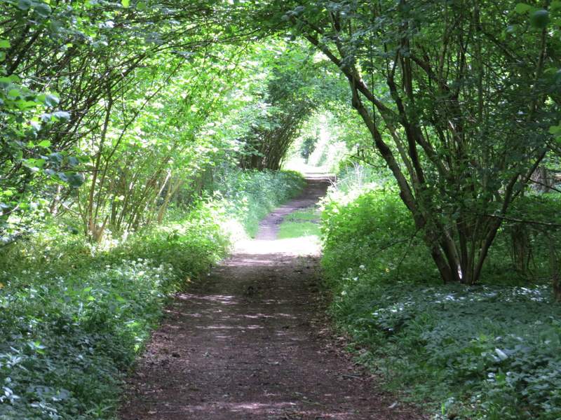
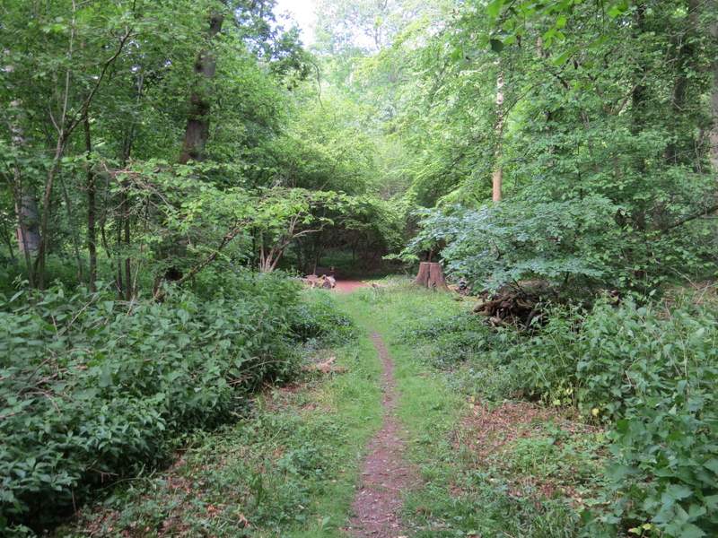
The bridleway along the valley bottom
The bridleway along the valley bottom, close to where the Chiltern Way goes right
The bridleway along the valley bottom, approaching the five-way path junction at Upper Bix Bottom
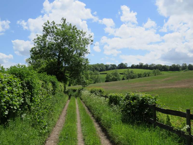
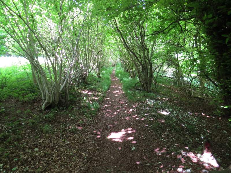
I turned left, and followed what the OS map shows to be a 'Restricted Byway' towards the Warburg nature reserve. The byway continued southeast through the reserve, where initially there was a large amount of Wild Garlic. I continued through the woods of the reserve for about three-quarters of a mile, going straight on when another byway and then a footpath crossed, until I reached the visitor centre. Here I stopped for half an hour or so to explore the reserve - I soon found the Fly Orchid, Lesser Butterfly Orchid and Greater Butterfly Orchid I was hoping to see, and also saw Common Spotted Orchid and Common Twayblade amongst the other flowers in bloom.
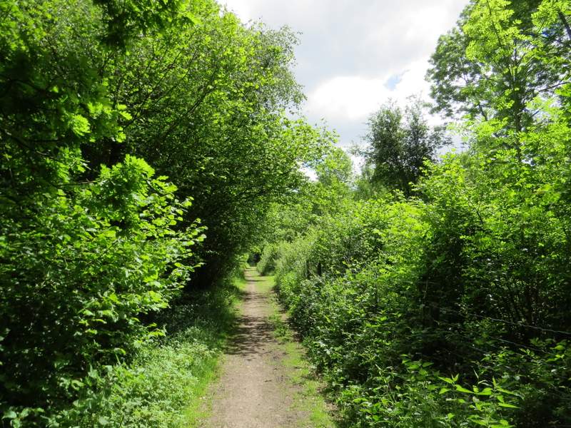
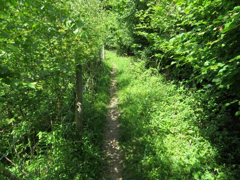
The 'restricted byway' approaching the Warburg nature reserve
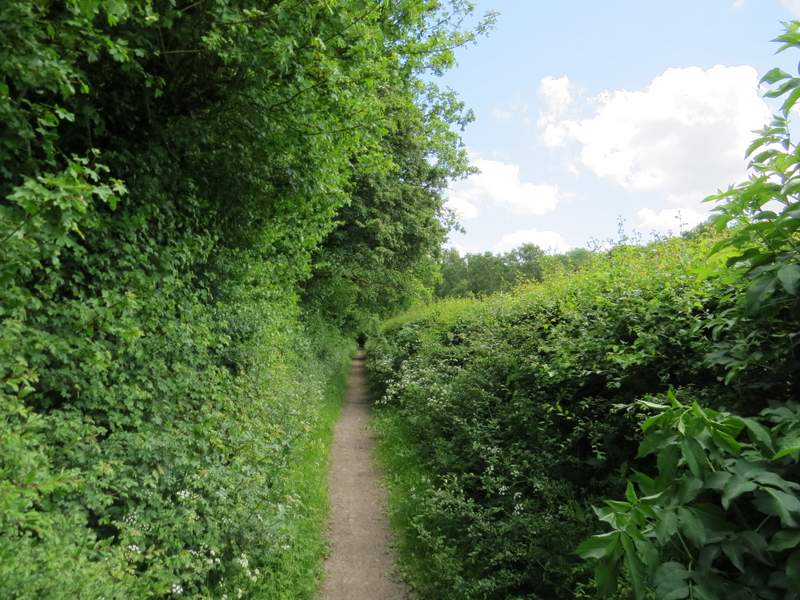
The 'restricted byway' through Warburg nature reserve
The 'restricted byway' through Warburg nature reserve
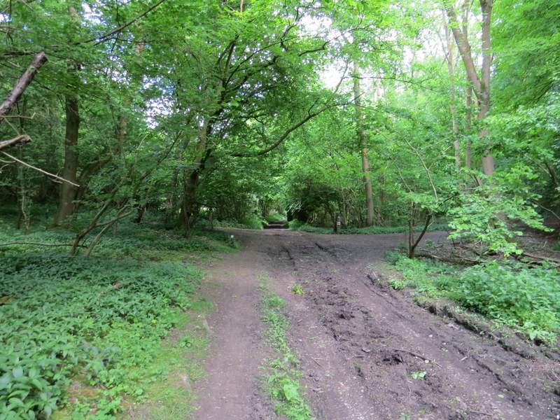
The 'restricted byway' through Warburg nature reserve, about to cross another 'restricted byway' (if I'd turned left it would have taken me straight to Maidensgrove Common)
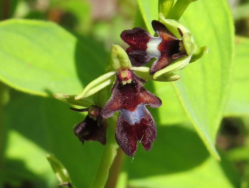
Fly Orchid, Warburg nature reserve
On resuming my walk, I went a few yards further along the byway and then turned left on a path that climbed quite steeply uphill through woods, with a fence on the left for most of the way. There was a view over a more open part of the nature reserve at one or two points. At the top of the hill the footpath reached a junction with a bridleway, where I turned left to immediately reach the end of a lane that runs through Maidensgrove, near Lodge Farm. I turned left along the lane, until it turned right, where I went slightly left to follow the edge of Maidensgrove Common (I spotted a Painted Lady butterfly here, my first of the year) back to the lane where I'd parked.
The footpath to Maidensgrove from near the nature reserve's visitor centre
The footpath to Maidensgrove from near the nature reserve's visitor centre
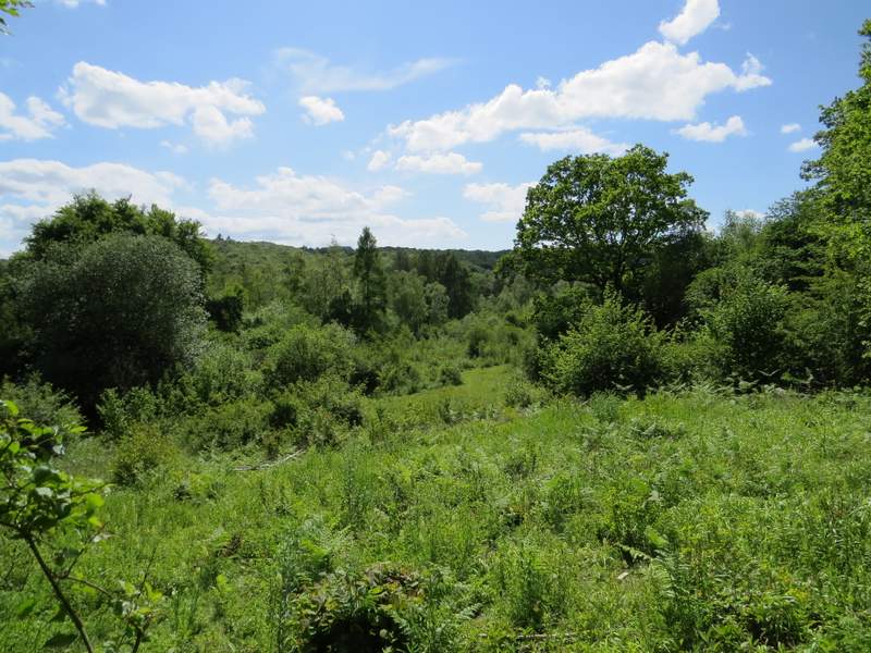
Looking left over part of Warburg nature reserve
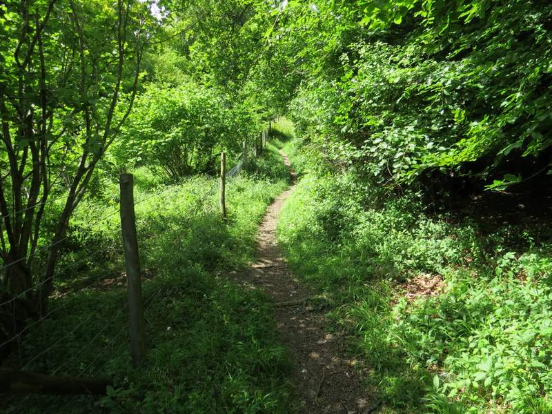
The footpath to Maidensgrove from near the nature reserve's visitor centre
The footpath to Maidensgrove from near the nature reserve's visitor centre
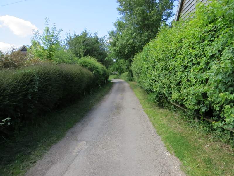
The lane through Maidensgrove
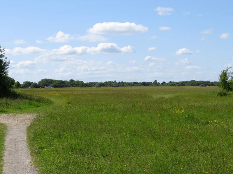
Maidensgrove Common, with a few cars parked along the lane that crosses it
This was a pleasant walk, on a route that was fairly straightforward to follow being largely on bridleways and byways (although I did get confused at that junction in College Wood, despite having been there two or three times before!). A large portion of the walk was in woodland and much of the rest was along rights of way with tall hedges either side, so there weren't as many good views over the surrounding countryside as I'd have liked. But it's a walk I'd be perfectly happy to do again, especially if I wanted to combine a walk with a visit to the Warburg nature reserve.