Pete's Walks- Watlington Hill and Cookley Green (page 1 of 5)
If you are considering walking this route yourself, please see my disclaimer. You may also like to see these notes about the maps and GPX files.
Google map of the walkDownload GPX file of the walk
UPDATE 30/10/2023: You now have to pay (£3 a day, I believe) at Watlington Hill car park, unless you are a National Trust member.
I did this circular walk of about 11.7 miles on Saturday, 4th July 2015. It was a new route for me, although there were only a couple of short sections that I'd not walked several times before as part of other routes. Because I am still suffering from post-viral fatigue or something, I actually planned two versions of the route for today, so that when I reached Cookley Green I could decide whether to take the shorter or longer route back to Watlington Hill depending on how I was feeling. In the event, I walked the longer version of the route, but with three slight modifications to what I'd originally planned.
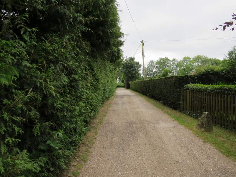
I parked at the car park at Watlington Hill (Grid Reference SU 710935) and started walking about 10.20am. I'd expected it to be a fine and sunny day, so I was a little disappointed that initially the skies were overcast and grey. Coming out of the car park I turned right along the road and followed it about a quarter of a mile to a T-junction on the edge of Christmas Common, where I turned left. After a couple of hundred yards or so I turned right on a path heading into Shortridge Wood. This was initially along a track or drive, but when this turned right, I went straight ahead. The footpath soon turned left, then turned right again where it met another path - there were some hollows in the ground on my right here, which I suspected might be the remains of clay pits or chalk pits. I soon came to a fork in the path, where I went left and started a long and very gradual descent towards the Wormsley valley.
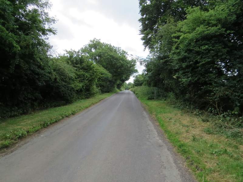
The road from the Watlington Hill car park, heading towards Christmas Common
The start of the path into Shortridge Wood
The path in Shortridge Wood, after turning left
The path in Shortridge Wood, just after turning right at a path T-junction
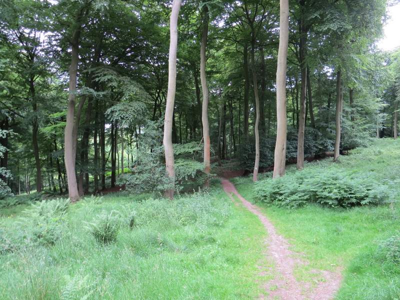
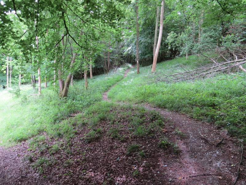
The path in Shortridge Wood, shortly after turning left at a fork in the path
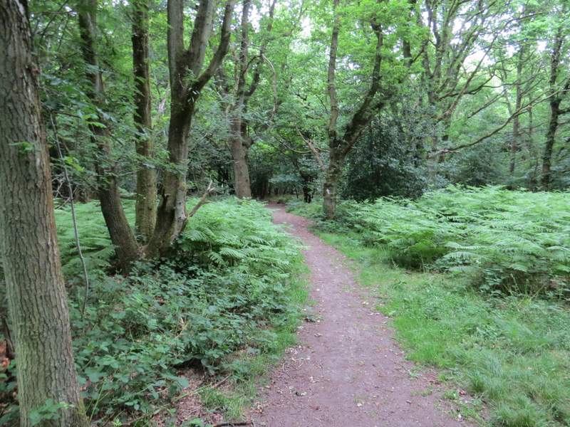
Shortridge Wood was here mainly a beech wood. Further on, the beech trees stopped quite suddenly and I guess that this was where the path entered the next wood, Blackmoor Wood. After a few hundred yards more I came to another path junction. I'd planned to go straight on and then turn right along part of the Chiltern Way, but it occurred to me that I'd never taken the path forking right here. After a quick check of the map, I decided to go that way instead as it was easy to link it back to my planned route (by thus cutting a corner off the planned route, I reduced it by about half a mile - as it happened, I would later make another change to the planned route at Swyncombe Downs which added back about the same distance). The path climbed at a reasonable gradient back up through the trees, for part of the way along a slight groove in the ground, turning left near the top of the slope to continue through the wood for a while before turning right and finally leaving the wood.
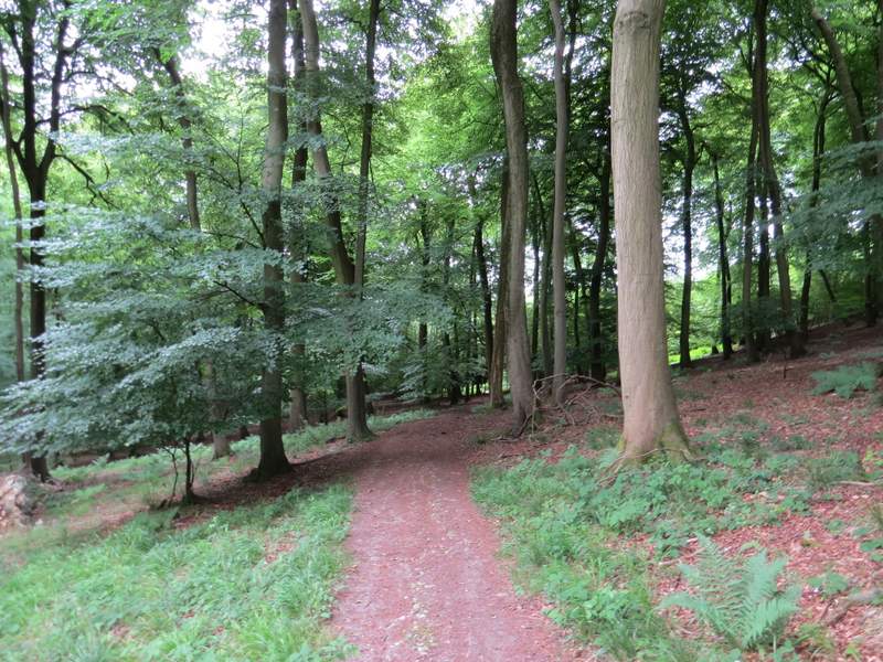
The path in Shortridge Wood
I think this is where the path moves from Shortridge Wood to Blackmoor Wood
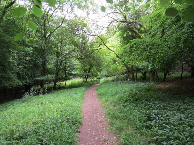
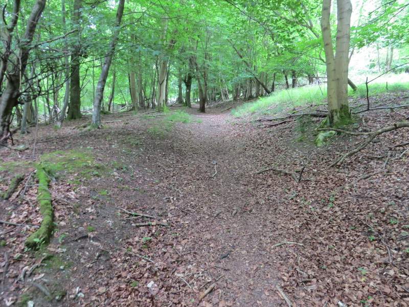
The path in Blackmoor Wood
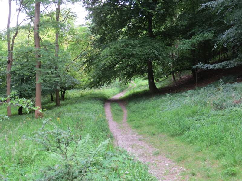
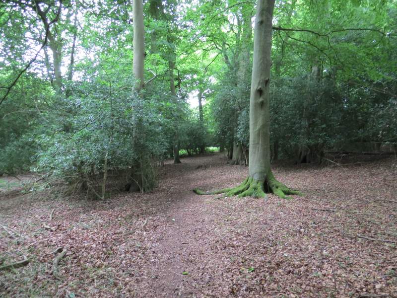
The start of the path forking right in Blackmoor Wood
The path in Blackmoor Wood
The path in Blackmoor Wood, just before it turns right and leaves the wood
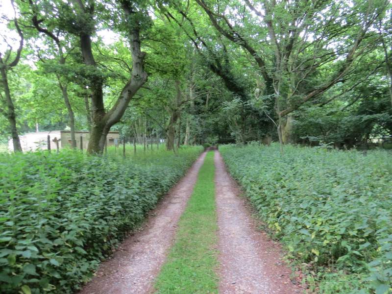
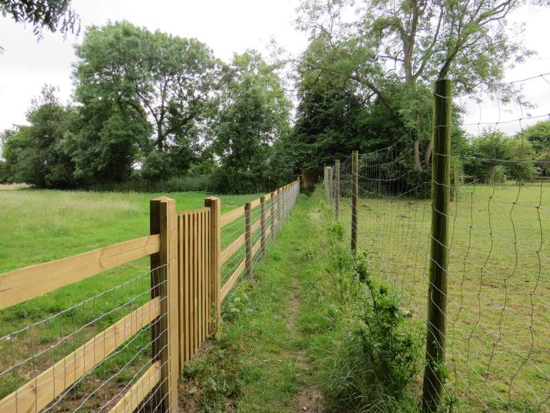
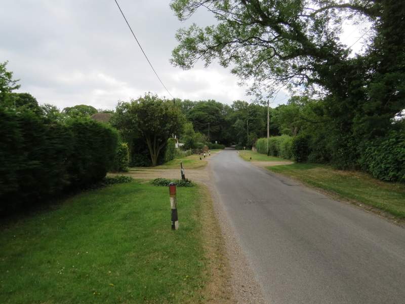
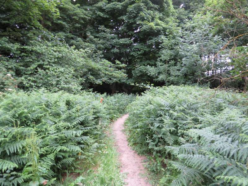
The path now ran for a short distance between fences, with a pasture or meadow on the left and a paddock to the right, then continued between a garden fence and a hedge. It continued along a shared driveway between a few properties in Northend (a hamlet that is so named because it is in the north end of the parish of Turville). At the end of the drive I turned left along a minor road. I was looking for a footpath on the right, but if it was there I must have missed it. Instead, just past the last house on the right (and just after a sign indicating the boundary between Buckinghamshire and Oxfordshire), I turned right onto a 'permissive bridleway'. Three people on mountain bikes went down it before me, and I noticed orange tags tied either side of the start of the bridleway - I'd soon work out that I was on part of the route of an organised mountain bike ride that was taking place today (I'd end up sharing four different parts of their route today). The bridleway led through bracken and trees before turning right to a gate and the edge of Launder's Farm.
The path continuing from Blackmoor Wood
The path approaching the road in Northend
The road in Northend
The permissive bridleway from the road in Northend