Pete's Walks- Bison Hill and Totternhoe (page 2 of 4)
If you are considering walking this route yourself, please see my disclaimer. You may also like to see these notes about the maps and GPX files.
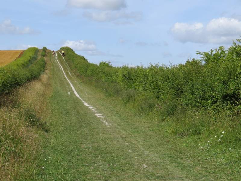
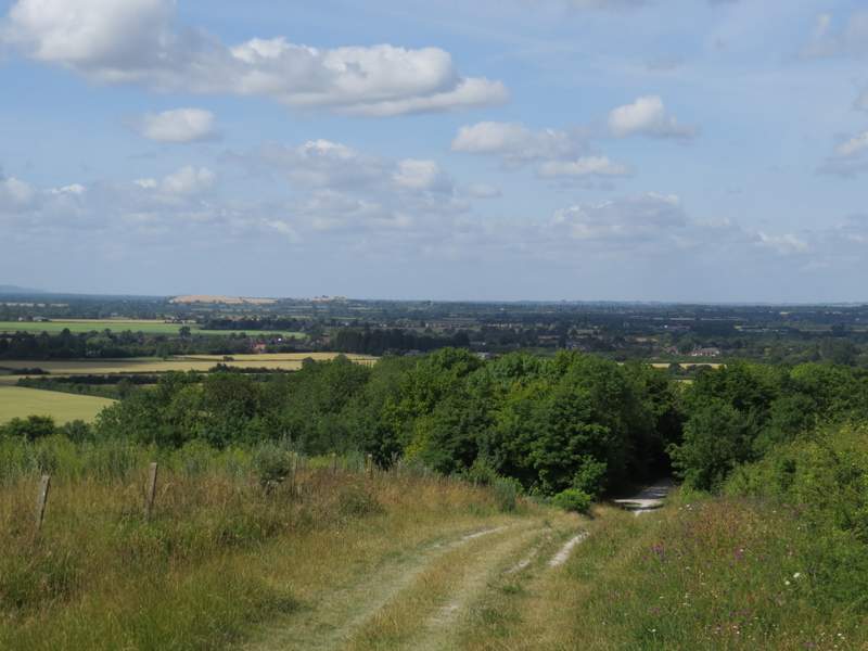
At the next track junction I turned left, but only for a couple of hundred yards or so before turning right onto another track. This rose uphill, with the steep 'cliff' of an old chalk quarry over the hedge on my right. I dropped down the other side of the hill and turned left at another track junction. I soon passed the car park for Totternhoe Knolls on my left, and continued down what was now a surfaced drive to reach a road running through Totternhoe.
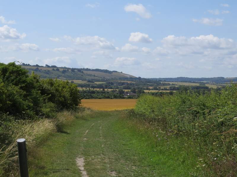
The track where I turned left
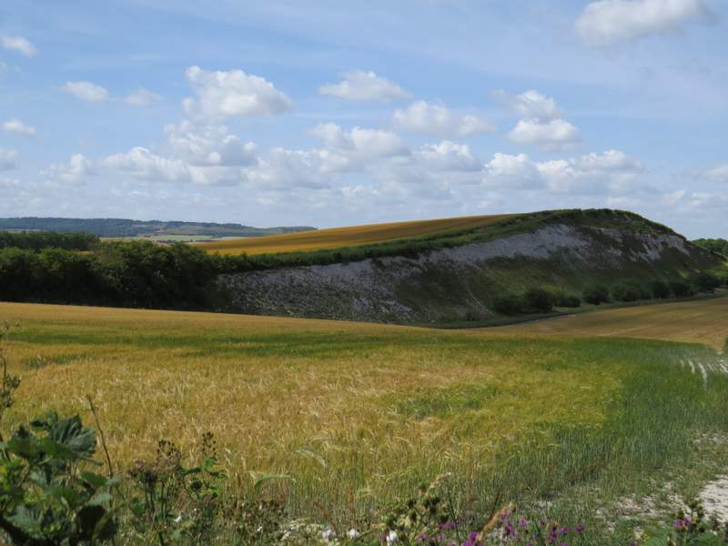
The next track I'd take runs along the top of this chalk 'cliff'
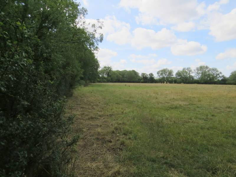
The next track, after I turned right, with a steep drop the other side of the hedge on my right
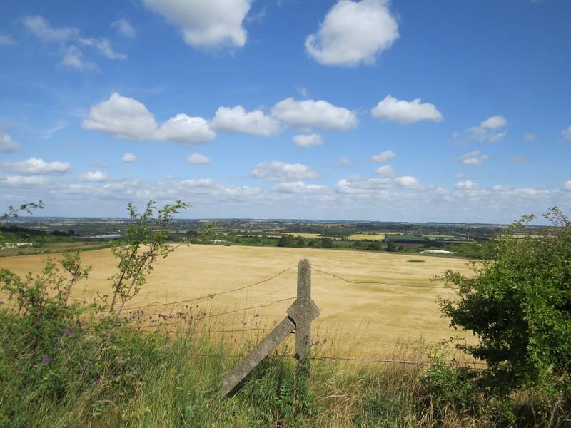
Looking right, from the highest point of the 'cliff'
The track continuing - I'd turn left at the bottom of the hill
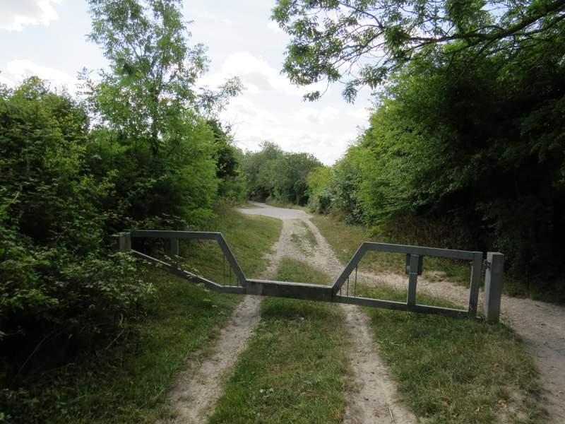
Approaching the entrance to the Totternhoe Knolls car park
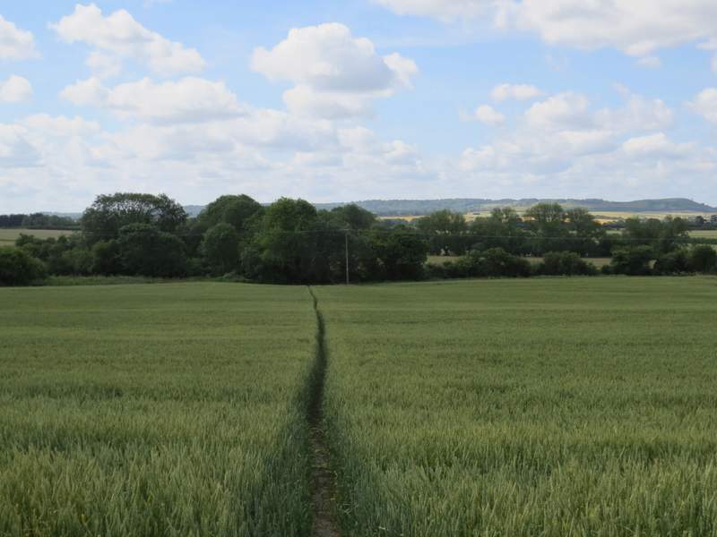
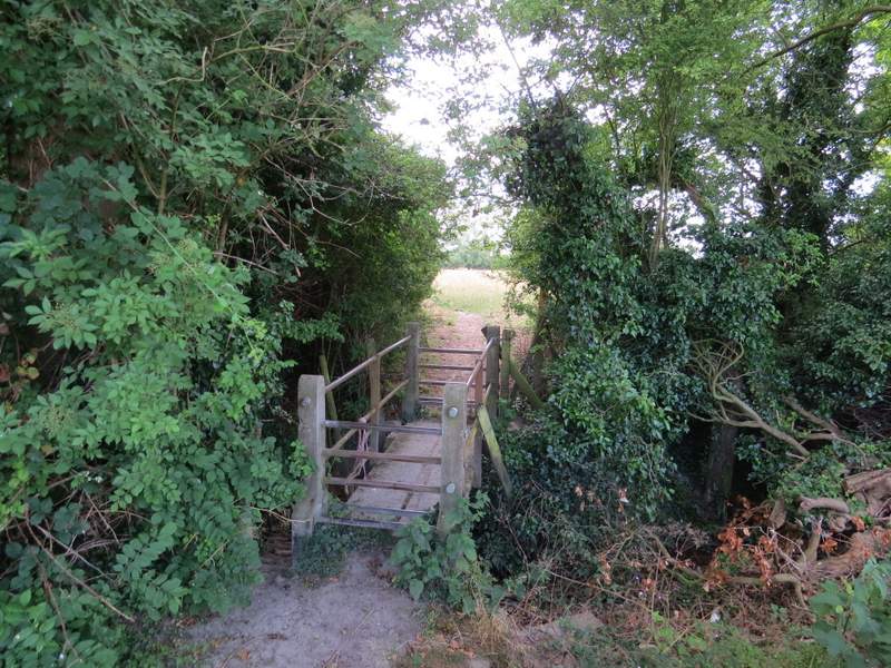
I went a few yards left and took a footpath starting on the other side of the road (this was the start of the section I'd not walked before). The path led across a corn field to a footbridge (it had metal barriers either end that had to be climbed over) beyond which I turned left along the edge of an empty pasture. Somewhere along the side of the pasture I reached another footbridge in the hedgerow on my left (same style of bridge as the previous one).
The footpath I took from Totternhoe (this was the start of the section that was new to me)
Footbridge over a stream or ditch
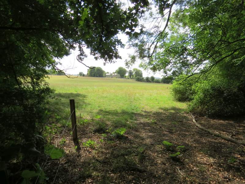
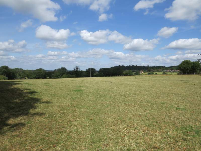
The path continuing in a small pasture
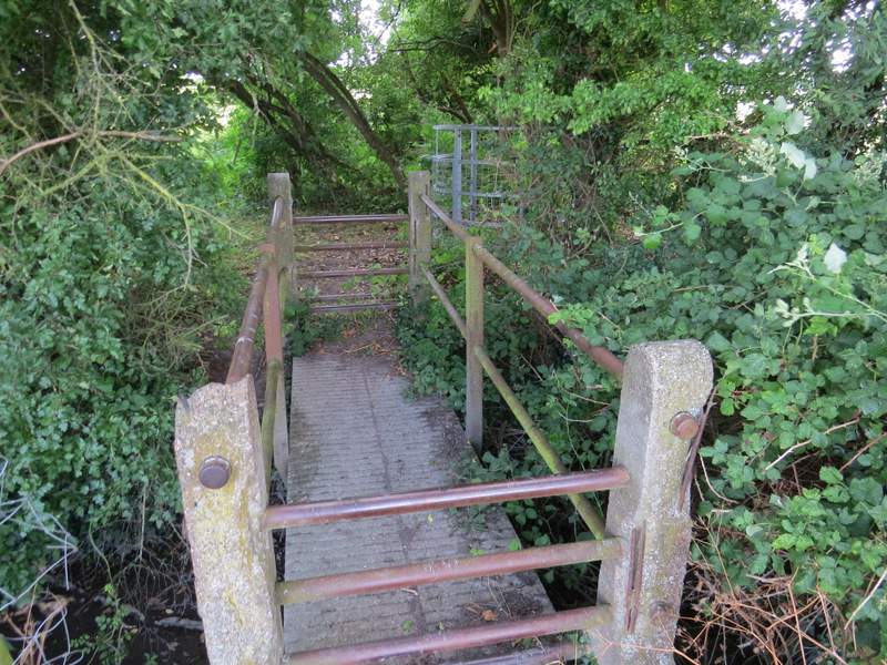
Another similar footbridge - I crossed it, then went through the kissing-gate on the right
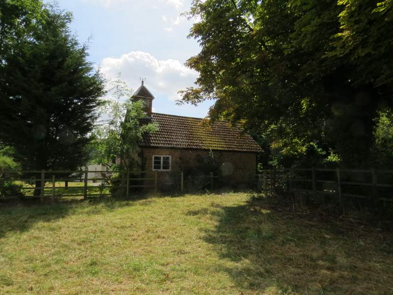
Across this bridge I turned right to go through a metal kissing-gate, then went half-left across a cattle pasture - there were a few cows and calves in the corner to my right. I went through another kissing-gate into an adjoining pasture (a little way to my right was an open gateway, so the cattle could roam between the two pastures) and continued across it in the same direction as before. This took me to another gate, with a chapel on my left. I then turned left along a short drive, passing Totternhoe church on my right, to reach Church Road in Totternhoe.
From the kissing-gate, looking across the next pasture (there were cows and calves in the corner to the right)
The path approaching the chapel
Looking back, from the same spot
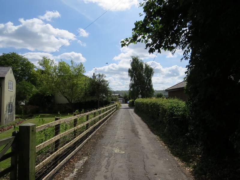
The lane near Totternhoe church
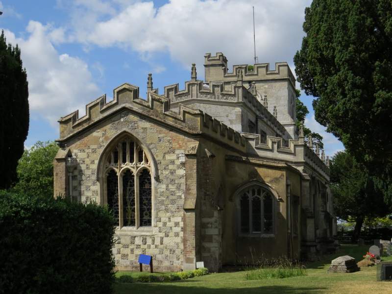
Totternhoe church