Pete's Walks- Bledlow and Radnage (page 4 of 4)
If you are considering walking this route yourself, please see my disclaimer. You may also like to see these notes about the maps and GPX files.
I followed the road as it turned left, then when it turned right I went left, following a drive to some farm buildings. A slightly overgrown path continued straight on. Two Alsatians barked fiercely, as usual when I pass by, but they were safely caged in - I could have avoided them altogether by simply turning left when I'd reached the road, as the path I was now on took me back to that same road. I now turned right along the road, then turned right into Hill Top Lane. In a little under half a mile, this ended at the Chinnor Hill car park.
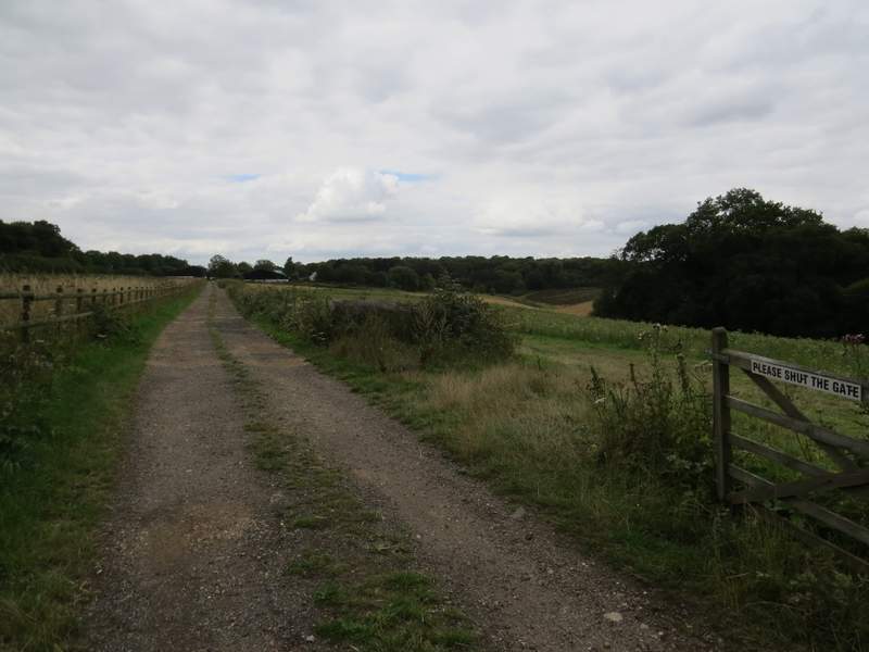
The track to the farm
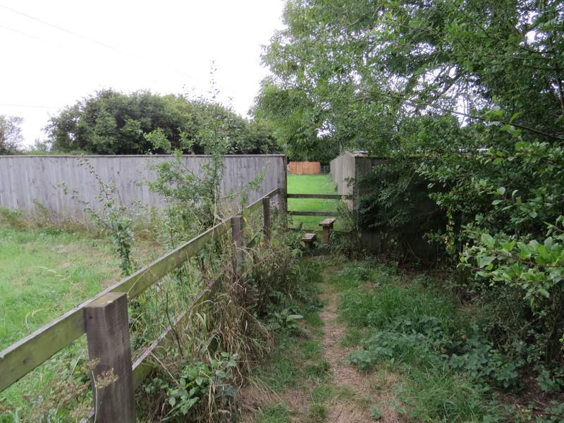
The path continuing from the farm
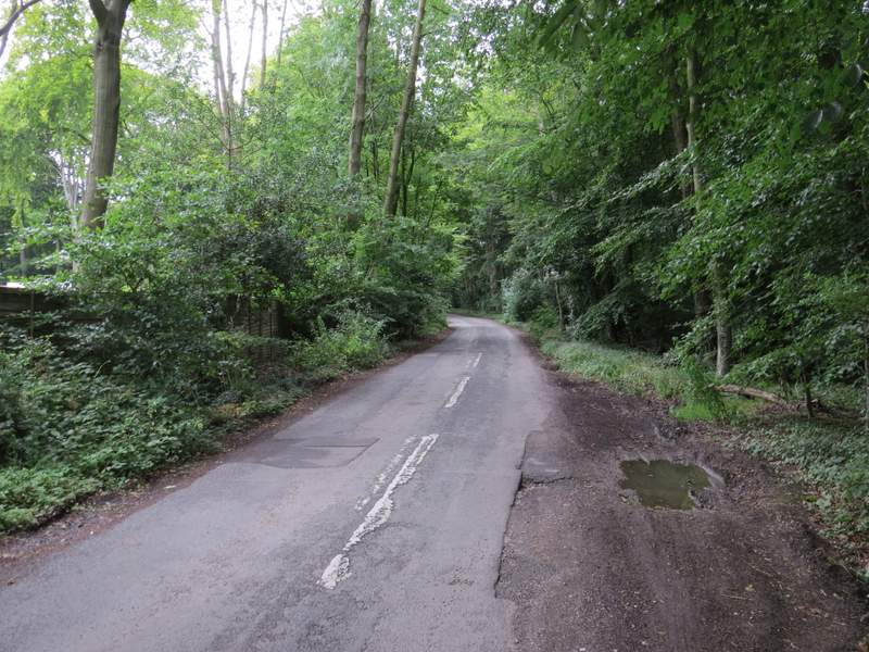
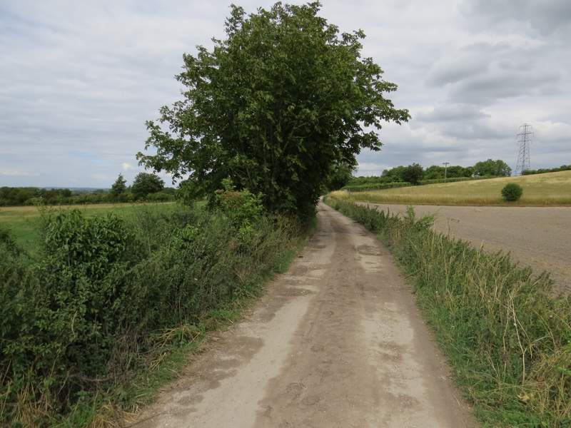
The start of Hill Top Lane
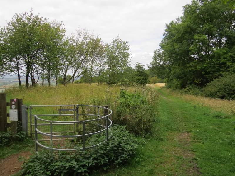
A bridleway led on from the car park, passing through a wood to reach the grassy top of Chinnor Hill. I diverted from the bridleway to go through a kissing-gate here to get a better view out over Chinnor and the flat lands to the north of the Chilterns. Rejoining the bridleway I carried on, with the the Chinnor Hill Barrows on my left. The path soon entered another wood, and started to go downhill - it was soon running through a 'hollow way' or 'sunken lane', a groove worn into the hillside over centuries of use.
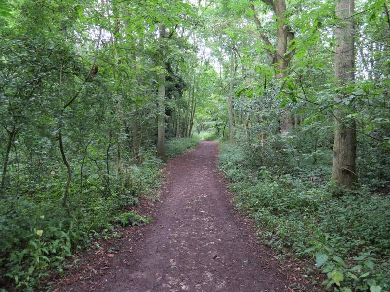
The bridleway from the car park to Chinnor Hill Barrows
The bridleway continuing past Chinnor Hill Barrows
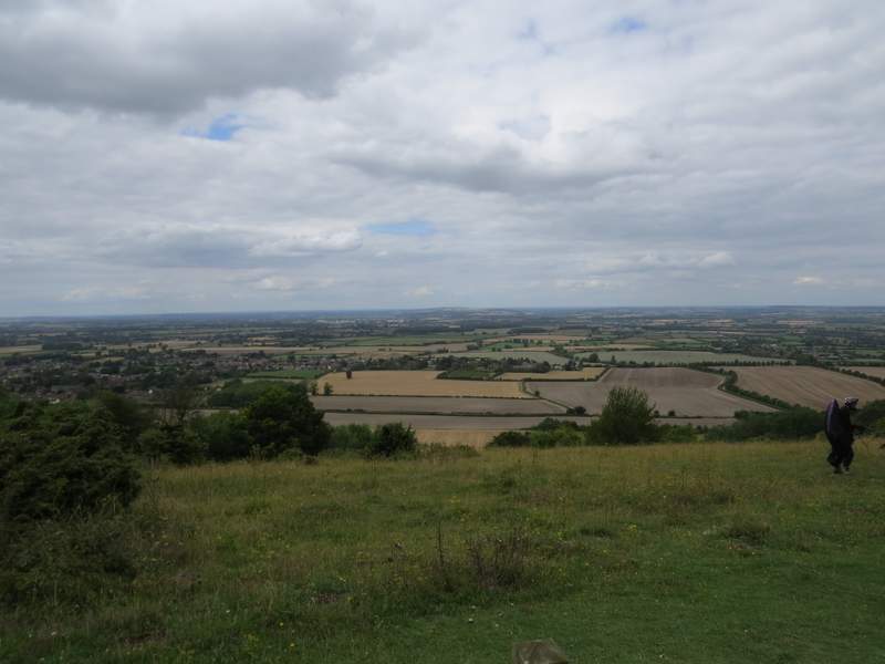
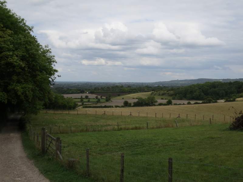
The view from Chinnor Hill Barrows
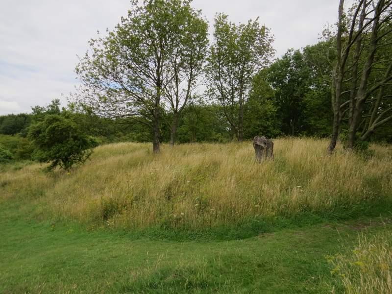
Chinnor Hill Barrows
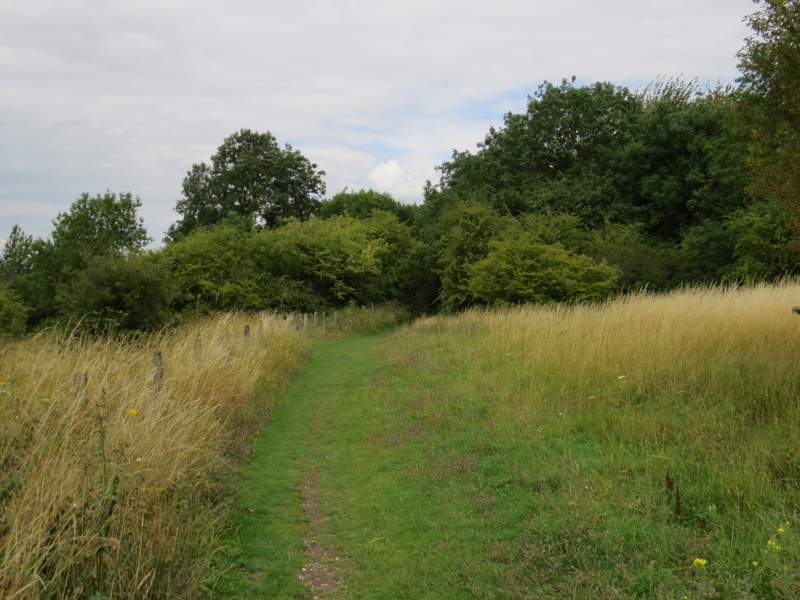
The bridleway continuing from Chinnor Hill Barrows
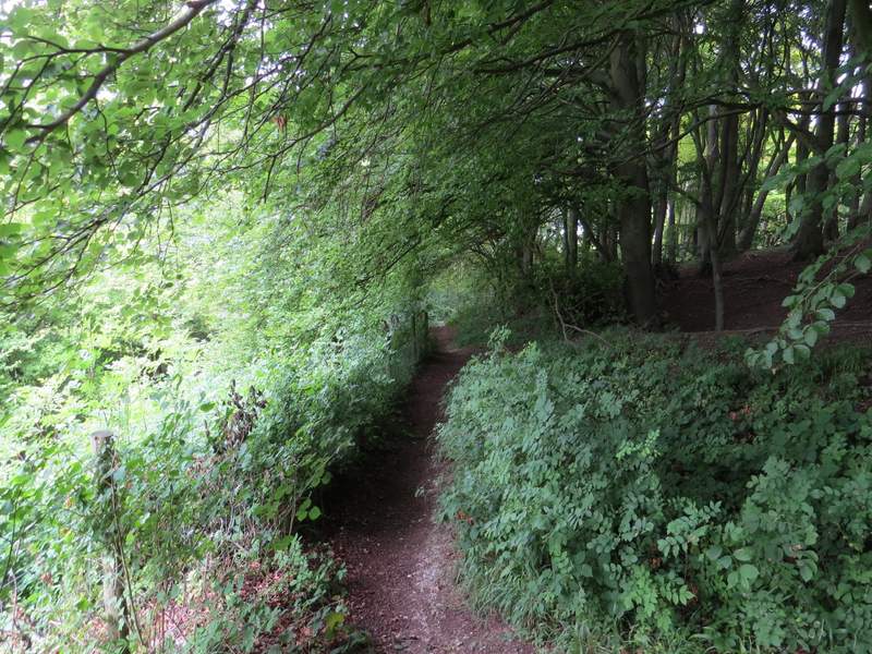
The bridleway descending Chinnor Hill
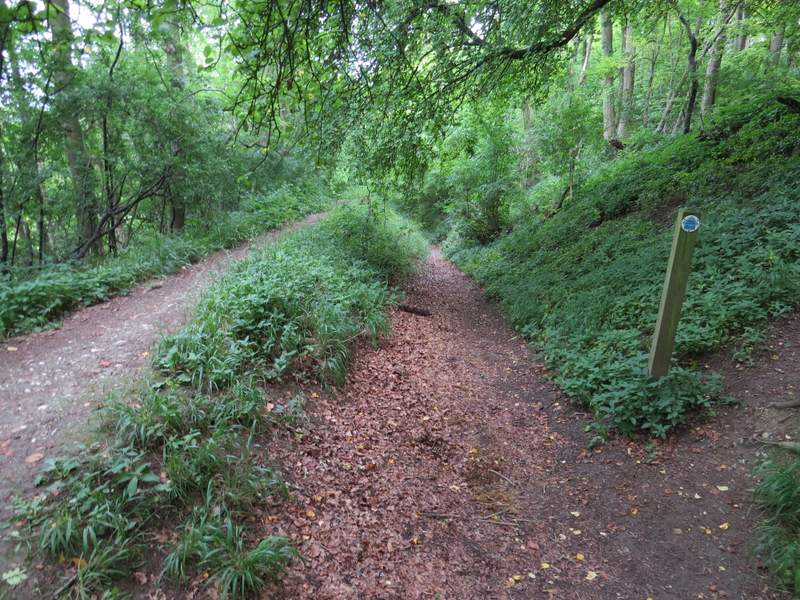
The bridleway descending Chinnor Hill
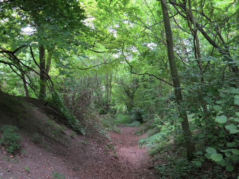
The bridleway descending Chinnor Hill
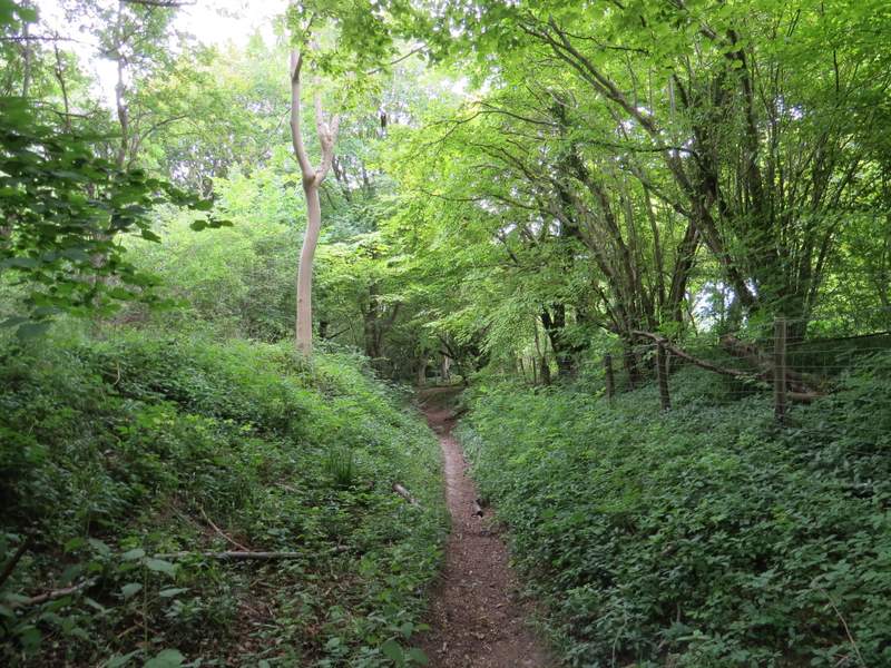
The bridleway descending Chinnor Hill
At the bottom of the slope I reached a bridleway junction, where I turned right and passed between a few buildings in the hamlet of Hempton Wainhill. I went straight on at another junction, going slightly left through a gate and following a roughly surfaced track. There was a nice view ahead of me now, with Beacon Hill, Pulpit Hill and Whiteleaf Hill on the skyline (I visited those hills on my previous walk). After a third of a mile or so, I took a footpath that forked left from the track ('Alternative 2' on my Google map of the walk). This led me to a bend in a street in Bledlow, where I went straight on (with The Lions of Bledlow pub on my right) to return to the church and my parked car.
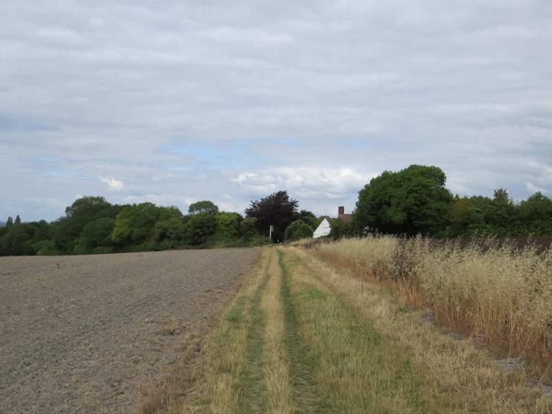
The track from Hempton Wainhill to Bledlow
The track from Hempton Wainhill to Bledlow
The path to Bledlow (the white building is 'The Lions of Bledlow' pub)
I enjoyed this walk a lot, it has a decent amount of variation in it, several ups and downs and plenty of nice views. It is certainly one of my favourite shorter walks in the Chilterns, which I now often seem to fall back on when I haven't time (or fitness!) to do a longer walk. I'm glad I did it clockwise this time as it made a change,