Pete's Walks- Cadmore End, Ibstone and Turville (page 1 of 3)
If you are considering walking this route yourself, please see my disclaimer. You may also like to see these notes about the maps and GPX files.
Google map of the walkDownload GPX file of the walk
I did this walk of about 8.6 miles on Friday, 23rd October 2015. It was a repeat of the Cadmore End, Turville and Ibstone walk I did in December 2013, but in the opposite direction (anti-clockwise).
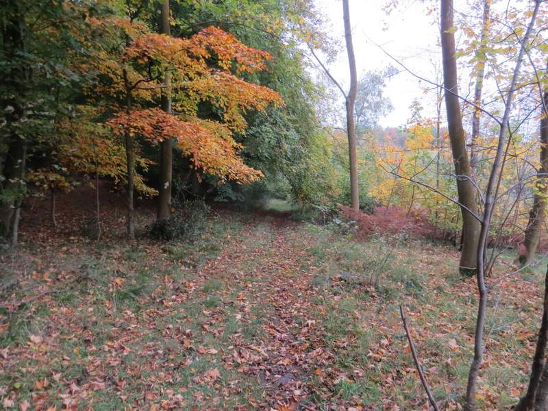
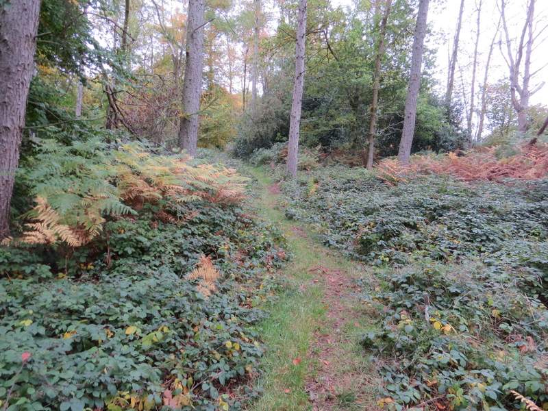
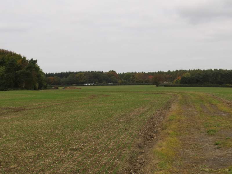
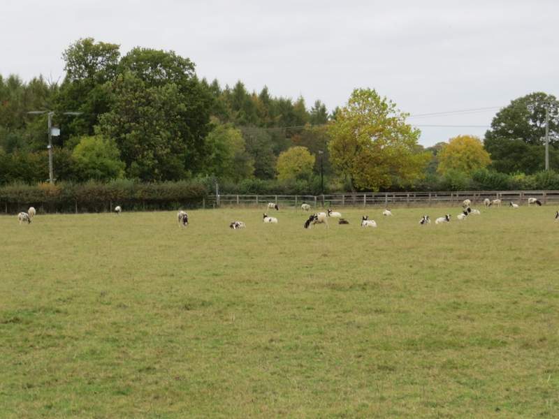
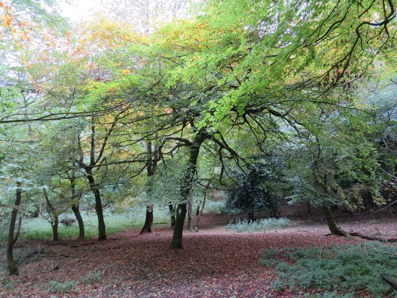
After a deliberately late start, I parked in the small parking area in Church Lane at Cadmore End (Grid Reference SU 783927) and started walking about 11:45am. I crossed the small green and turned right along the main road through the village, then turned left onto a forestry track starting just after the village school's car park. The track soon went under the M40 motorway, then turned left and went slightly uphill. When it turned right, I took a path on the left (almost straight on). Another path soon joined from my right, then the path turned right as it continued through Pound Wood. The path then followed a track through a very large and flat field, turning left at one point and then turning right by a small clump of trees. When the track reached a hedge on the right, I went over two stiles just yards apart, then crossed a pasture containing some Jacob's Sheep to reach Bigmore Lane.
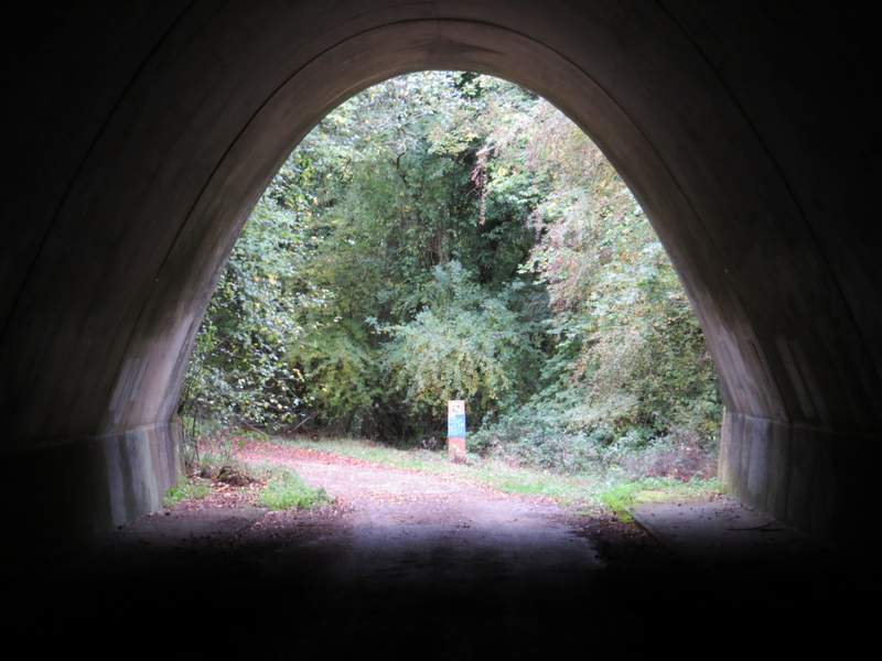
The forestry track going under the M40
The path after I turned left off the forestry path
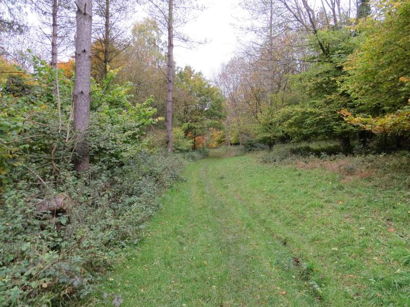
The path continuing through Pound Wood
The path continuing from Pound Wood
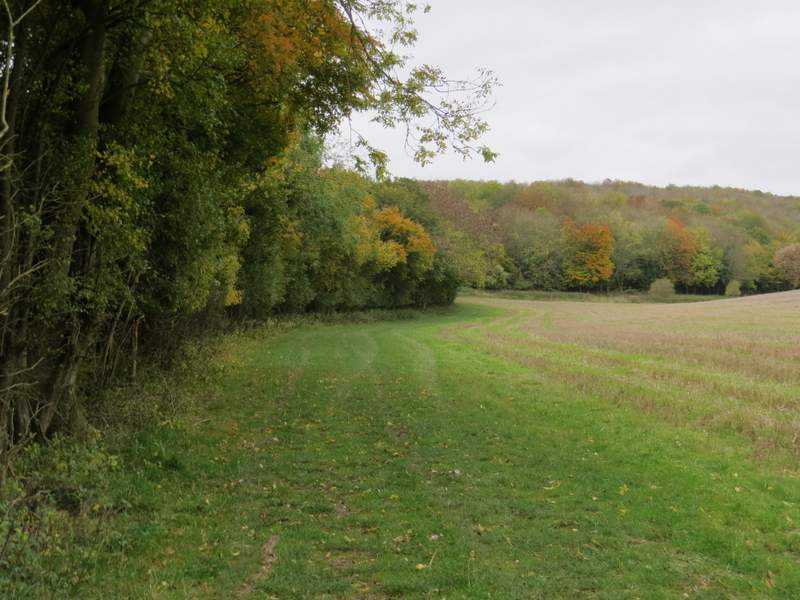
The path approaching Bigmore Lane
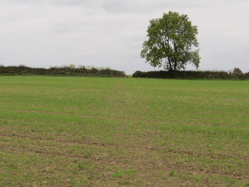
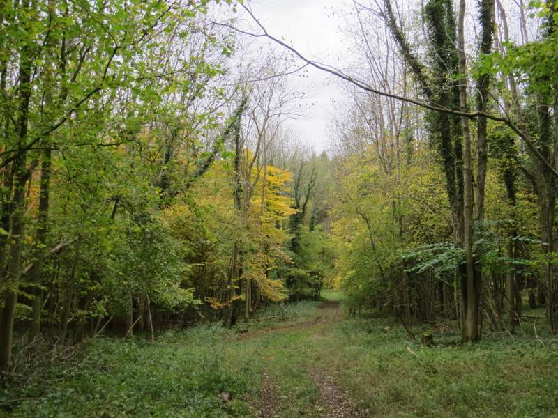
I turned left and followed the lane for several hundred yards, re-crossing the M40 just before the lane ended at a T-junction. I went a few yards right, then went down Chequers Lane on the other side of the road. Within about a hundred yards there was a stile in the hedge on my right, and the path was fairly clear as it crossed a field to a hedge gap. In the next, larger, field, the path wasn't so clear but I just kept a constant distance from the hedge over to my right, and aimed for the end of a hedge I could see ahead of me. The path continued with that hedge on my left, and then after going a few yards right in the next field corner it turned into a wood and started to descend a wooded slope into a valley named Twigside Bottom.
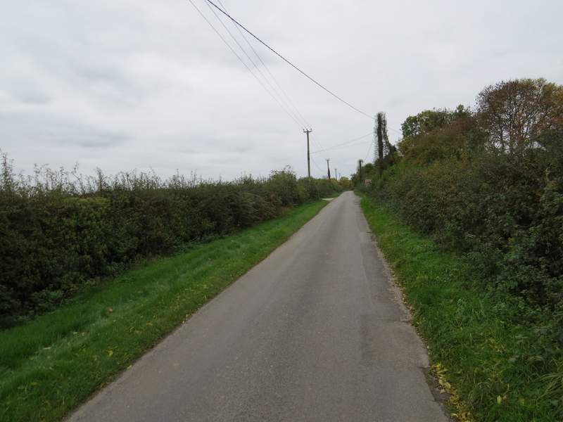
Bigmore Lane
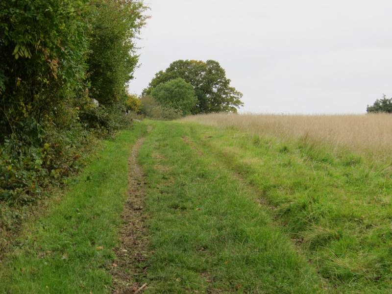
The start of the path from Chequers Lane
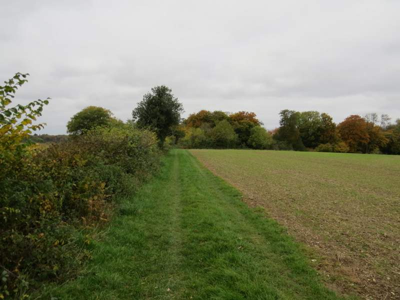
The path continuing towards Twigside Bottom
The path descending into the valley called Twigside Bottom
The path descending into the valley called Twigside Bottom
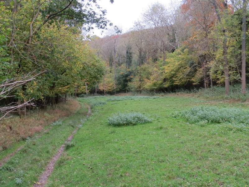
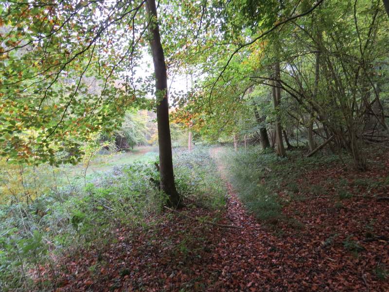
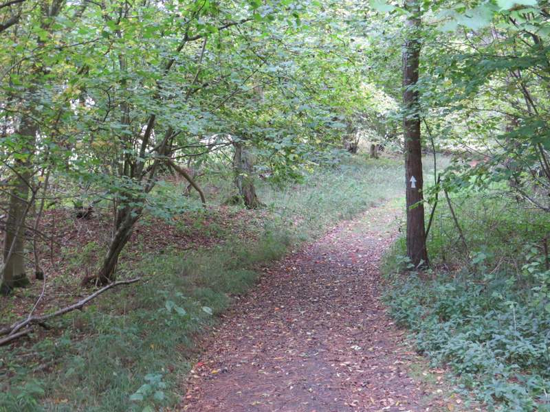
At the bottom of the valley I turned right along a grassy track, still in the same wood. After a short distance, an arrow indicated where the right of way left the track and followed a narrow path just a few yards to the right of the track. As I walked along here I could hear the roaring of a Fallow buck in the trees just uphill from where I was. The path soon rejoined the track, and I continued along it for several hundred yards until a footpath forked left. This soon left the wood and followed the left edge of a field, before going steadily uphill through Hartmoor Wood. Beyond the wood it carried on along the left side of a field to reach the village of Ibstone.
The path through Twigside Bottom
The path through Twigside Bottom
The path through Twigside Bottom
The start of the path from Twigside Bottom to Ibstone
The path from Twigside Bottom to Ibstone
The path from Twigside Bottom approaching Ibstone - I forgot to take any photos of the steep uphill section through the wood