Pete's Walks- Great Missenden and Coombe Hill (page 5 of 5)
If you are considering walking this route yourself, please see my disclaimer. You may also like to see these notes about the maps and GPX files.
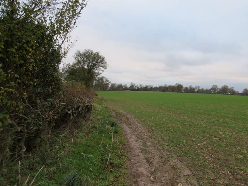
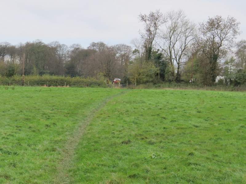
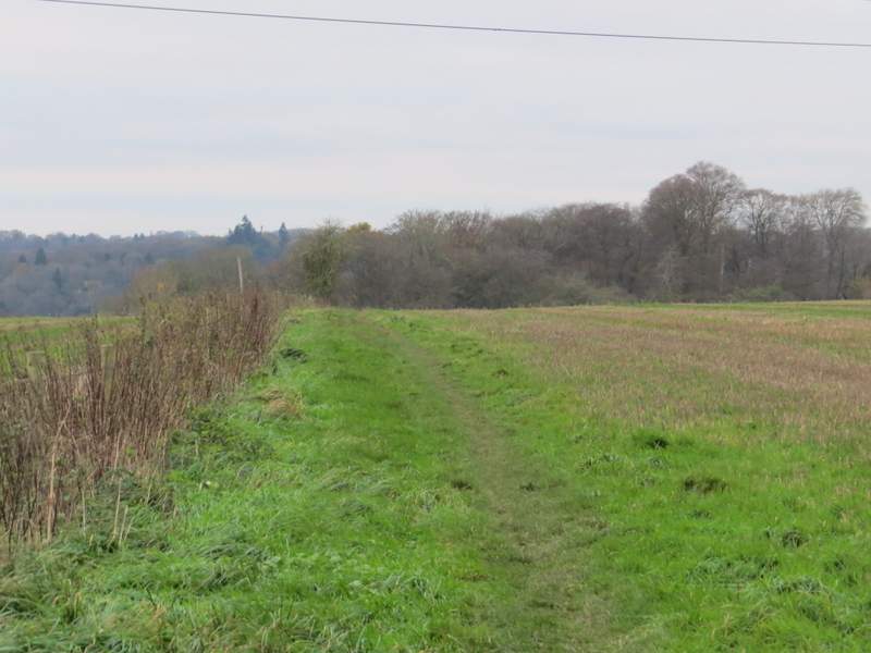
The track was hard-surfaced for some distance, as it passed a wood on the left. I went straight on where a path crossed, soon passing a property (named Field End Grange on the OS map) on my right. The track finished a couple of hundred yards or so further on, but a bridleway continued, running between hedgerows and then passing a wood on the left. There was then a wood on the right for a while. After passing a couple more fields, I reached the end of a street in Ballinger Common. I soon passed a small chapel on my left, and a few yards further on I turned right on to a footpath that took me round two sides of a sports field.
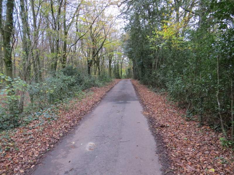
The track from The Lee
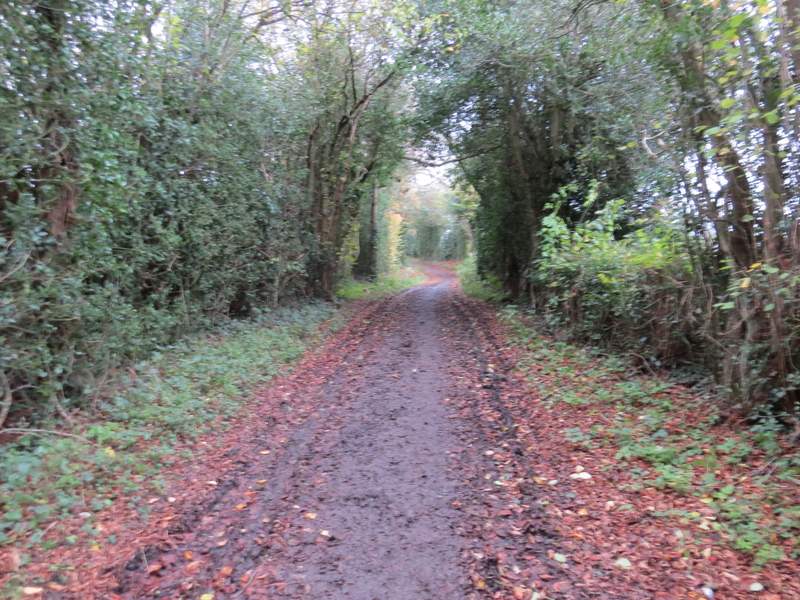
The track just after Field End Grange
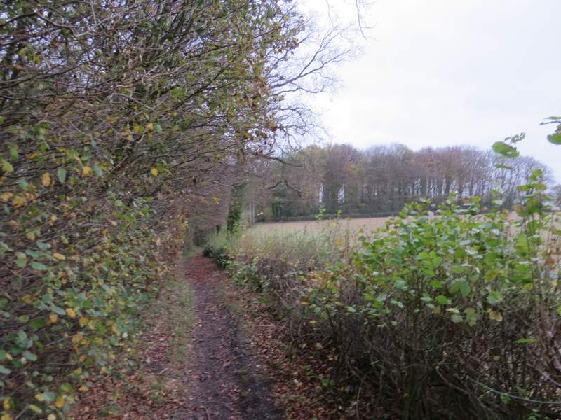
The footpath continuing to Ballinger Common
The footpath continuing to Ballinger Common
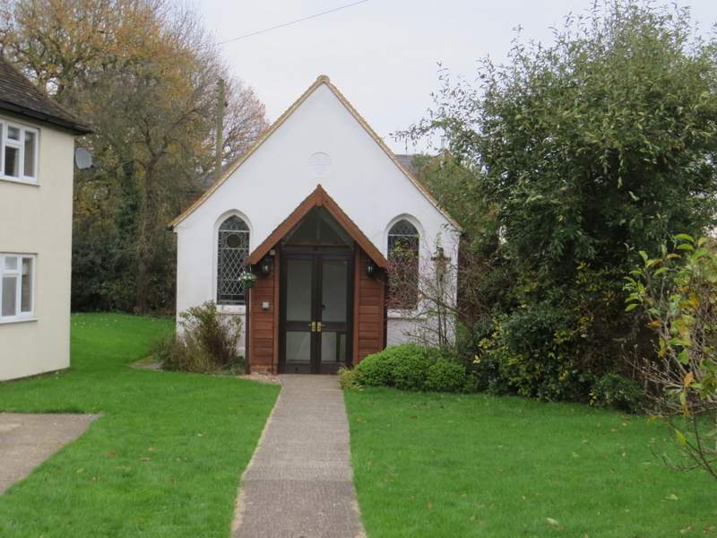
The chapel at Ballinger Common
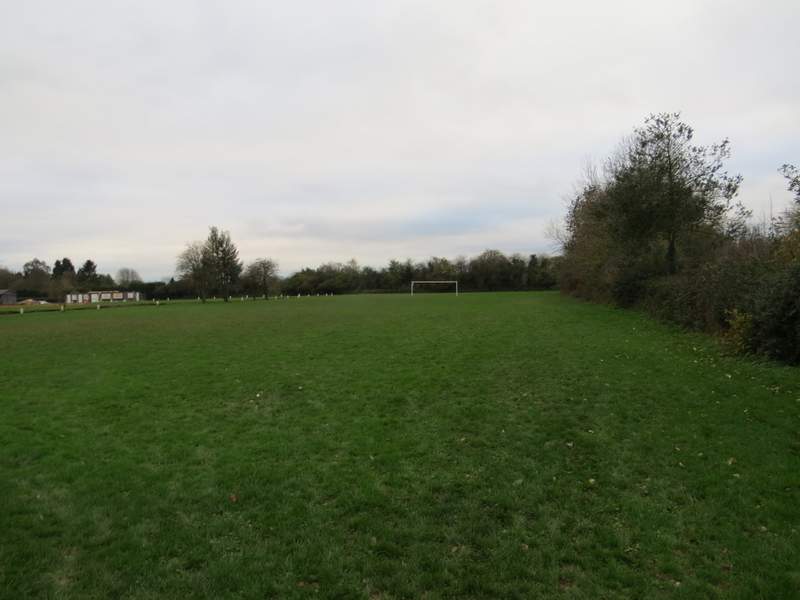
The sports field at Ballinger Common
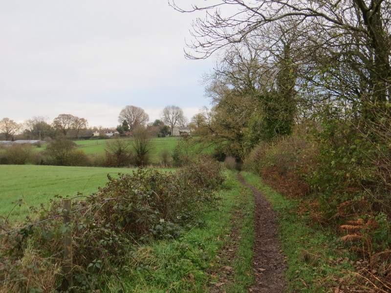
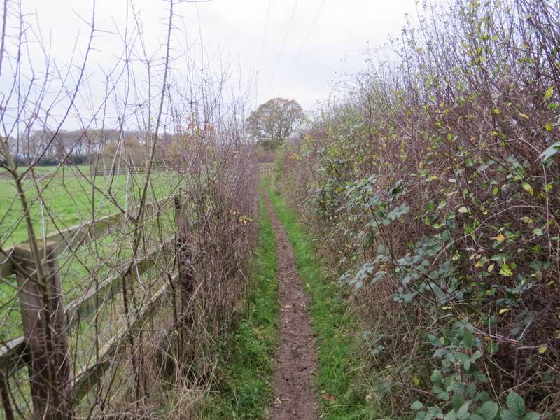
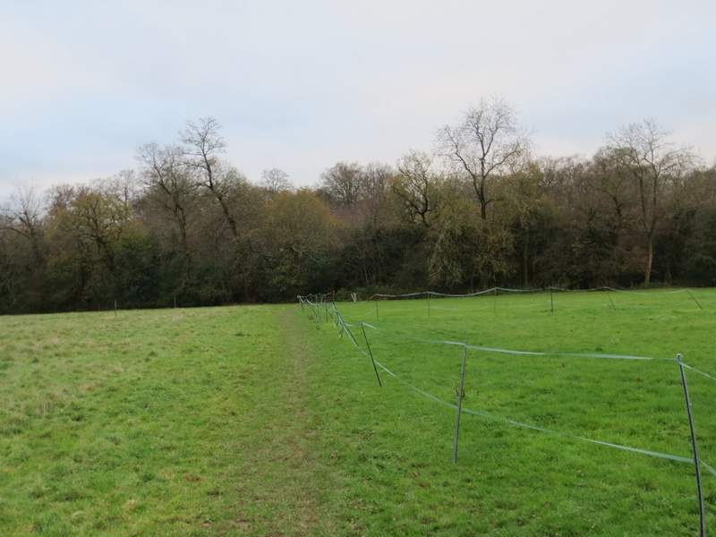
On reaching the opposite corner of the sports field I turned right along a path. There were two or three gates or stiles in quick succession, then the footpath turned left along a hedgerow, which soon turned to the right. Somewhere along this hedgerow I came to a stile (well hidden until I actually reached it), and over the stile I turned right to continue along a path on the other side of the hedgerow. After one or two hundred yards I turned right onto another footpath, which followed another hedgerow on my left. After the hedge turned left and then right, I went straight on through a gap where it turned right again, then continued straight on across a meadow to reach a gate and a minor road.
The path from Ballinger Common - there is a stile hidden somewhere along this hedge
The path on the other side of the stile hidden in the hedge
The next path, going right from the previous path
The path crossing a meadow to reach a minor road
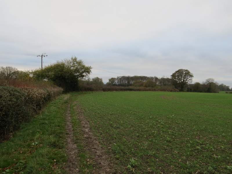
On the other side of the road a path crossed a large paddock, then continued through a small wood (which I correctly remembered to contain a lot of Holly). The path then continued alongside a fence on my left, and after a while started to descend slightly. The gradient steepened a little as the path then ran through the middle of the next field The path then continued beside a hedgerow on my left through a large sheep pasture, with Great Missenden now ahead of me as I headed down into the valley I'd been following for most of this walk. I then just had to cross the A413 by a roundabout and go straight on for two or three hundred yards to return to the car park where I'd started.
The path on the other side of the road
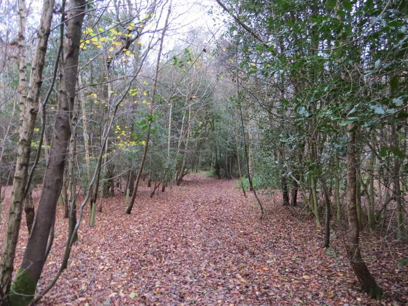
The path continuing through a small wood
The path now heading along a fenceline
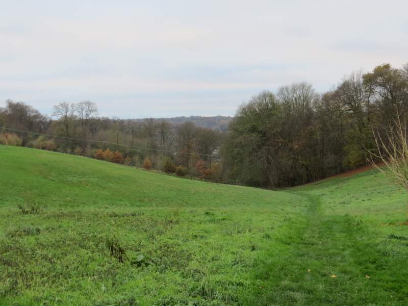
The path starting to descend
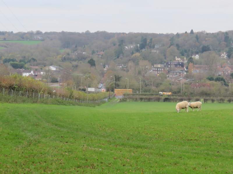
The path descending to Great Missenden
I was surprised that it seemed such a long time since I'd visited some parts of this walk, but looking at my records it seems it is just over 5 years since I last did this walk (in the opposite direction and starting at Coombe Hill). However most of the paths I'd used on other routes much more recently.
It was a pretty straightforward route, following the top of the hills on one side of a valley, then coming back along the top of the other side of the valley. Consequently it was a very flat route, with just two ups and downs. It was also pretty much a route of two halves, the first half to Coombe Hill being mainly in woods, the second half being largely on field paths with only two or three small woodland sections.
I don't think it's one of the best walks I've done in the Chilterns, but it was pleasant enough. It suited my purposes today, as I wanted to walk about 12 miles yet not do to many ups and downs (my knees were very sore after the six ascents and descents in eight miles on my previous walk). It was a shame that it was so dull and grey, but then as it's November I'm just grateful that it wasn't wet and windy.