Pete's Walks- Amersham Old Town and Knotty Green (page 1 of 4)
If you are considering walking this route yourself, please see my disclaimer. You may also like to see these notes about the maps and GPX files.
Google map of the walkDownload GPX file of the walk
I did this circular walk of about 10.2 miles on Friday, January 1st, 2016 (Happy New Year!). It was a new route, though almost entirely on paths I've used before on other walks with just one bridleway that was new to me. I've just looked through my walk diaries and, incredibly, it seems it's very nearly five years years since I last walked some of these paths!
I started walking about 10.50, having parked in the car park in Amersham Old Town (Grid Reference SU 960974) - the car park is free of charge on Sundays and Bank Holidays. I turned right along the main street through Amersham Old Town, but soon turned left into Whielden Street. I turned left again into Whielden Green, then after about a hundred yards I turned right onto a path through an old and overgrown meadow. Just past the end of a hedgerow on my left, I joined a paved path. I followed this for a few yards (next to the meadow on my right) then turned right on a similar path (running along the end of the meadow). After going over a footbridge over the A413, I turned right onto a footpath.
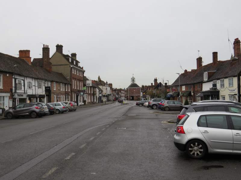
The High Street, Amersham Old Town
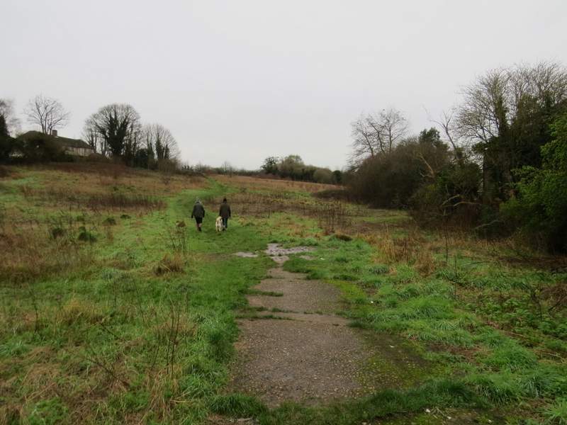
The start of the path from Whielden Green
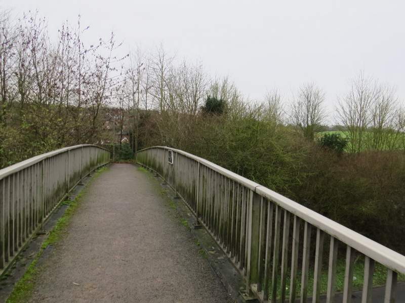
The footbridge over the A413
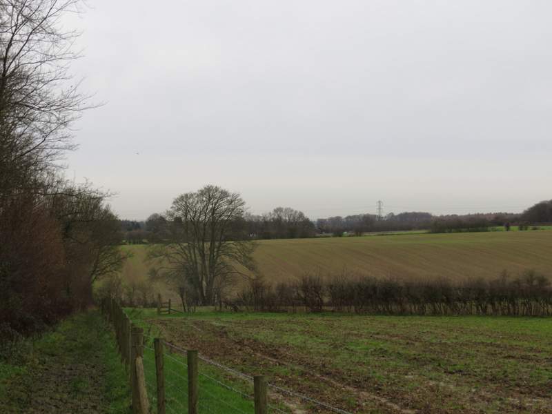
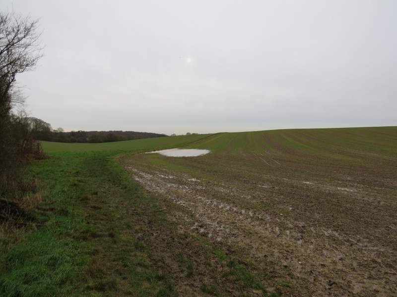
There were initially gardens on my left, but soon the path was following a ditch along the bottom of a very shallow valley, with huge arable fields either side. Further on a hedgerow appeared on the left. The OS map shows that the footpath should turn right by a waymark on a post to a small embankment, follow the bottom of the embankment (though the obvious path here actually runs along the top) and then come back across the field. Unfortunately there was no sign of the path returning across the field, and I ended up retracing my steps and just continuing along the hedgerow (I saw no less than 4 uprooted waymark posts along the bottom of the embankment!). Beyond the field, the path ran between hedges a short way to reach a minor road near Coleshill.
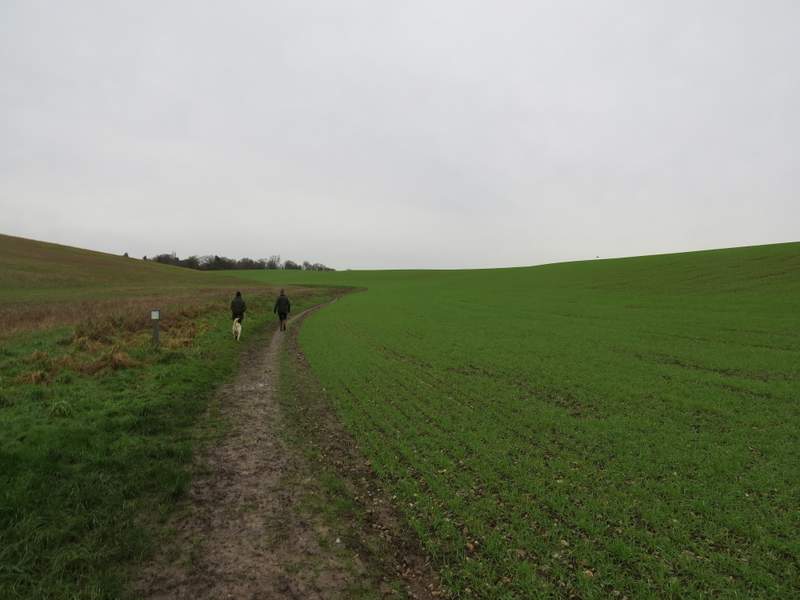
Near the start of the path from Amersham Old Town to Coleshill
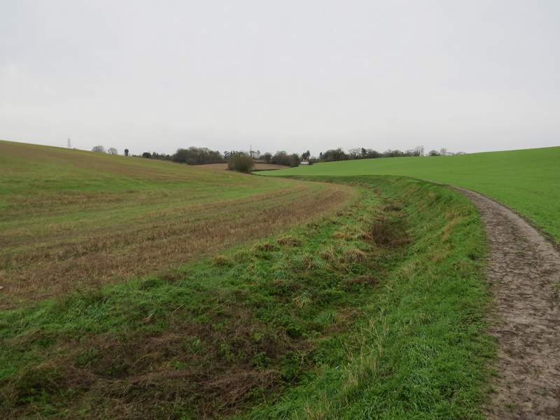
The path from Amersham Old Town to Coleshill
The path from Amersham Old Town to Coleshill

The path from Amersham Old Town to Coleshill
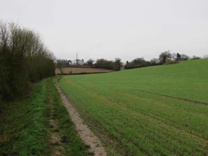
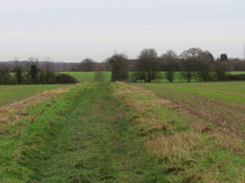
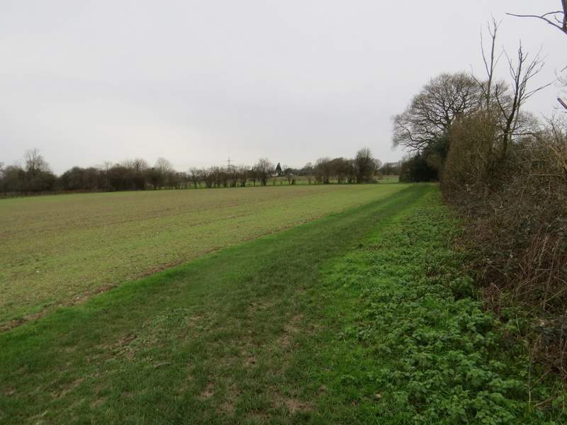
I turned right along the road (it turned here, so I was actually going more or less straight on). When it turned right, I took a footpath going straight on. This followed the left edge of a small paddock or meadow, then continued for some distance between a hedgerow and a fence on my right - the path was very muddy in places here. The path continued on along a grass headland between arable fields, with the A355 across the field on my left. At the second crossing hedgerow I turned right behind the hedge, then left in the field corner, the path then soon running past a garden on the left and ending at a minor road
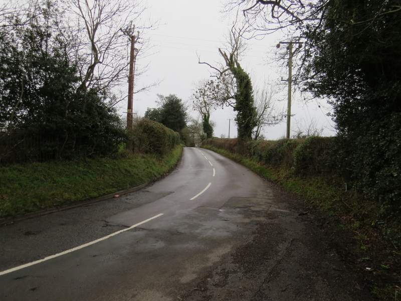
The short road section at Coleshill
The path going south from Coleshill

The path going south from Coleshill
The path going south from Coleshill
The path going south from Coleshill
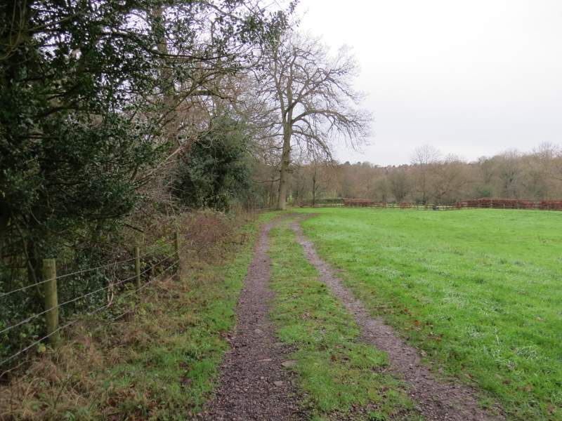
The path going south from Coleshill - I turned right at the second hedgerow (before reaching Bowers Farm, which is where the path is heading towards)
This is where I turned right, the path then going left in the field corner