Pete's Walks- Amersham Old Town and Knotty Green (page 4 of 4)
If you are considering walking this route yourself, please see my disclaimer. You may also like to see these notes about the maps and GPX files.
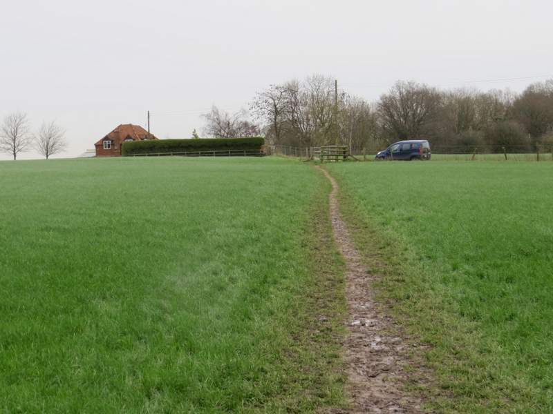
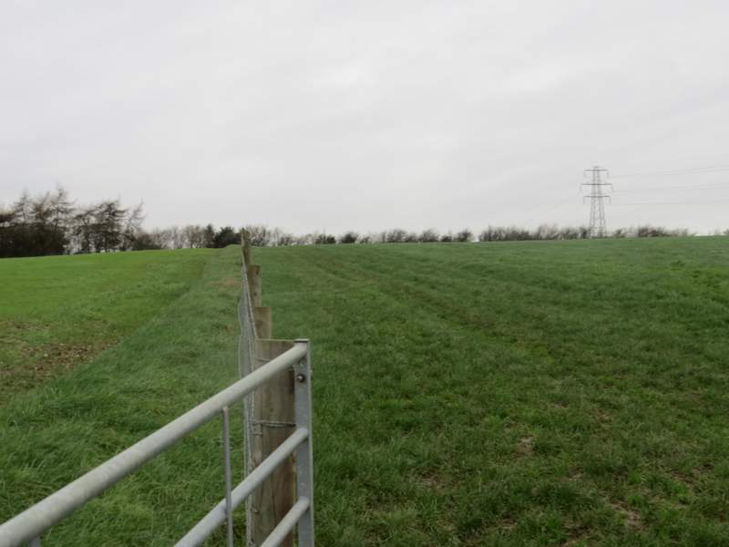
Across the lane a footpath continued across a meadow to a gate, continuing along a farm track. This was soon heading slowly downhill, the gradient steepening slightly after the track turned slightly left - there was now a pleasant view on my right, towards part of the Misbourne Valley. In the valley bottom I reached the stables at Upper Bottom House Farm, where I turned right for a few yards along Bottom House Farm Lane before turning right to follow a footpath through the farmyard. Beyond a gate I followed the path uphill through a field of grass to the corner of a fence on my left. I then followed the fence on my left to reach a crossing hedgerow, where I went a few yards right to a stile.
The path on the other side of Botterells Lane
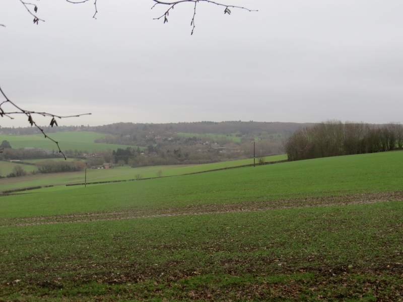
The track to Upper Bottom House Farm
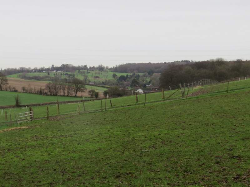
View towards the Misbourne Valley from the track to Upper Bottom House Farm
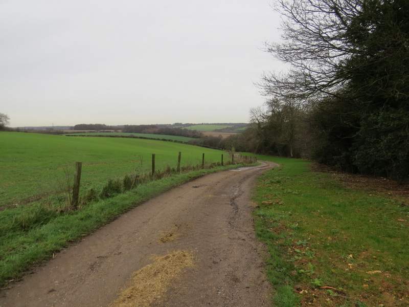
The path from Upper Bottom House Farm
The path from Upper Bottom House Farm
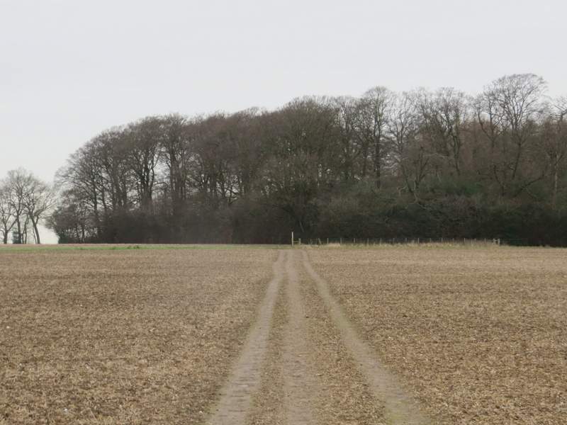
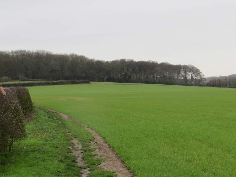
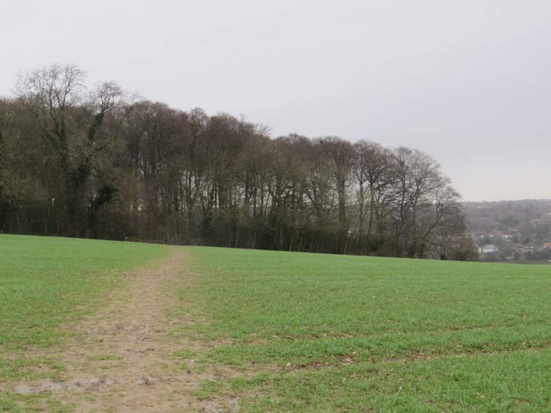
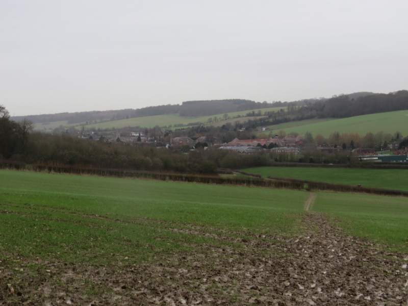
Beyond the stile, the path continued across a field, heading towards Day's Wood. It then turned left alongside the wood, and then continued beside a hedgerow. In the field corner, the path switched to the right of the hedgerow. The very large field on my right was now sloping down into the Misbourne Valley, and I could see parts of Amersham and Little Chalfont on top of the opposite slope. As I followed the hedgerow, I saw a Fox heading across the field a long way ahead of me - I managed a couple of photos that were just good enough to show that it had a pheasant in its mouth. When the hedge turned left, the path continued straight on across part of the field. It passed another hedge corner on my left, and continued on to reach Rodger's Wood - it was just starting to drizzle now, and looking back there was clearly rain on the way.
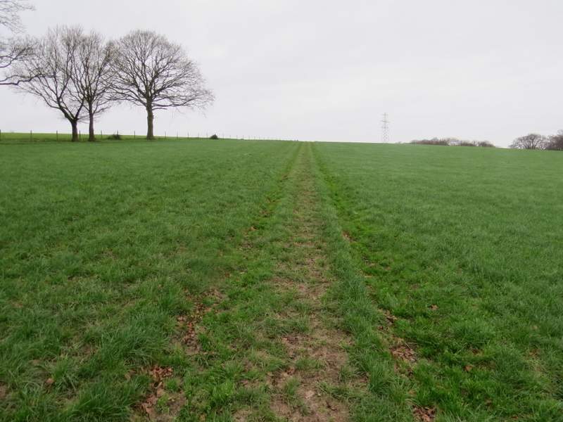
The path from Upper Bottom House Farm, approaching Day's Wood
The path from Upper Bottom House Farm, heading towards Rodger's Wood
Approaching Rodger's Wood
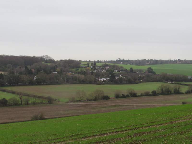
The Misbourne Valley, from the edge of Rodger's Wood - it was starting to drizzle now
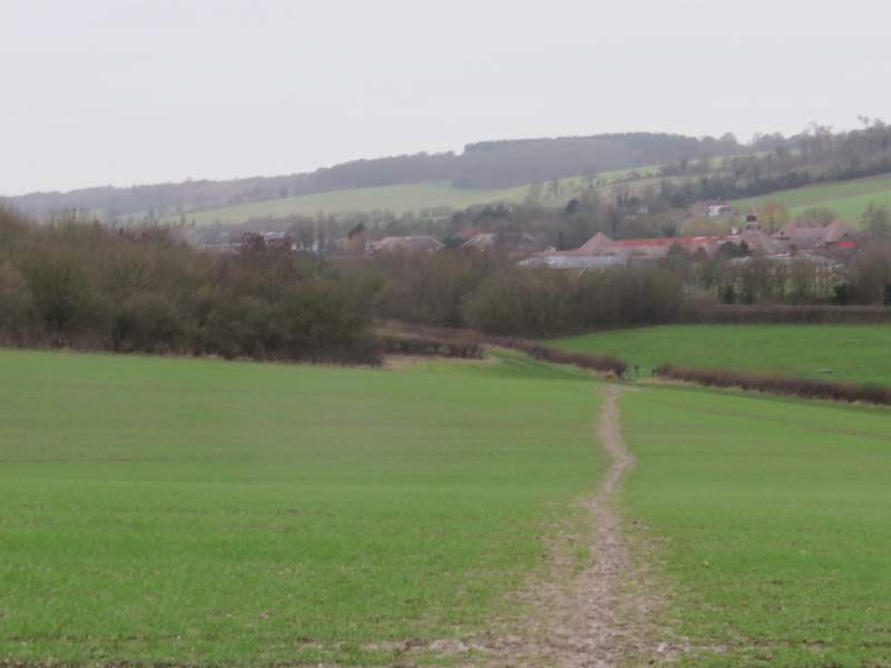
The path continued through a corner of Rodger's Wood, then carried on downhill through a couple of fields. I'd been very much looking forward to this section of the walk as I enjoy the view ahead towards Amersham Old Town, but it was disappointing today in the grey and murky conditions. In the valley bottom I turned left along a track. This soon went under the A413 and continued on to join a gravel drive past a cottage in Old Amersham. It was then just a matter of turning left to follow the road through the town back to the car park.
The path from Rodger's Wood to Amersham Old Town
The Misbourne Valley
The path from Rodger's Wood to Amersham Old Town
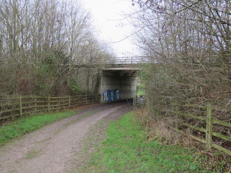
The bridge under the A413
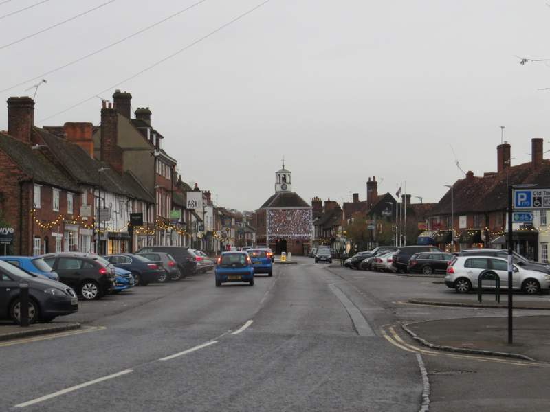
The Christmas lights were still on in Amersham Old Town
I timed it well, as it started raining as I was taking my boots off and rained quite heavily throughout my drive home.
This was a pleasant enough walk, but not really one of the best I've done. It's hard really to judge it, though, as the paths were all dreadfully muddy today and the grey and overcast conditions made everything look dull and drab. I'm sure I'd have formed a higher opinion of the route if I'd walked it on a sunny summer day!