Pete's Walks- Watlington Hill and Russell's Water (page 3 of 5)
If you are considering walking this route yourself, please see my disclaimer. You may also like to see these notes about the maps and GPX files.
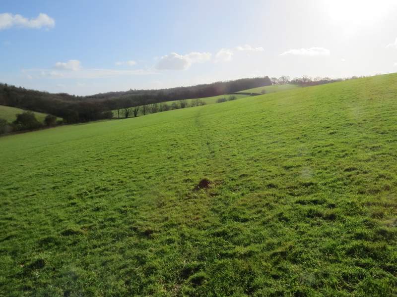
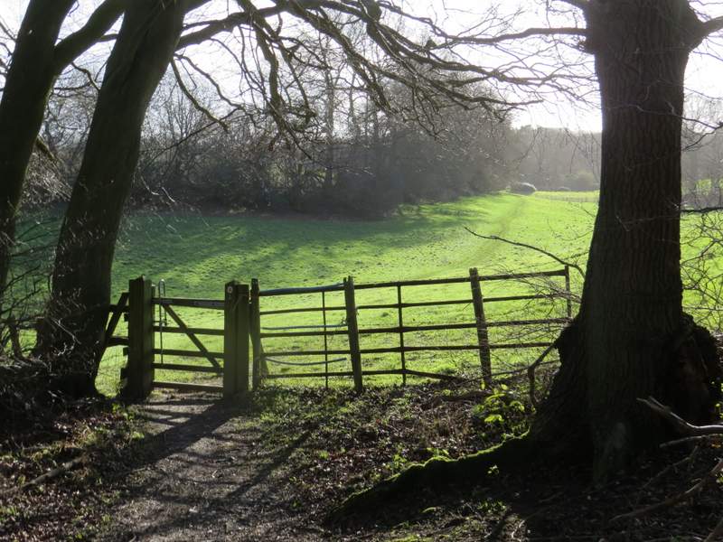
I followed the bridleway along the valley bottom for about half a mile, ignoring another bridleway that went right at one point. I then turned right where a footpath crossed the bridleway. This path immediately split in two, and I took the left fork which climbed a small wooded slope (the Chiltern Way follows the right fork). The path continued across a large sloping pasture, the path staying fairly level for a time, and then dropping down to a gate and a track in another valley, with the buildings of Westwood Manor Farm a little to the right. A path continued across the track, which soon entered a wood and gradually rose uphill. Beyond the wood the path continued across a meadow, then ran through part of a garden and then along a short track to arrive at the hamlet of Magpies (I thought this was the name of a large house here, but the size of the lettering on the OS Map would indicate that it's the name of a settlement rather than the name of an individual building).
The start of the footpath towards Westwood Manor Farm
The footpath towards Westwood Manor Farm
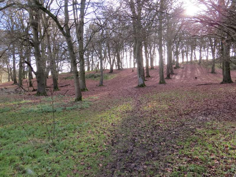
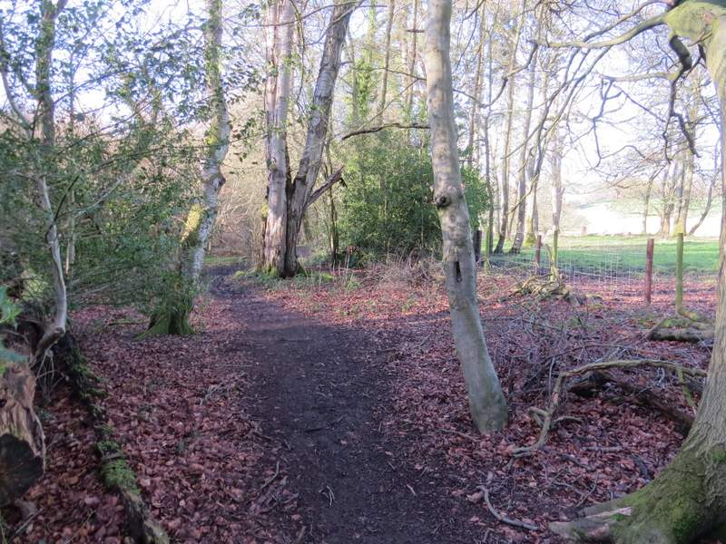
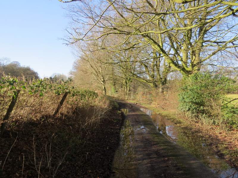
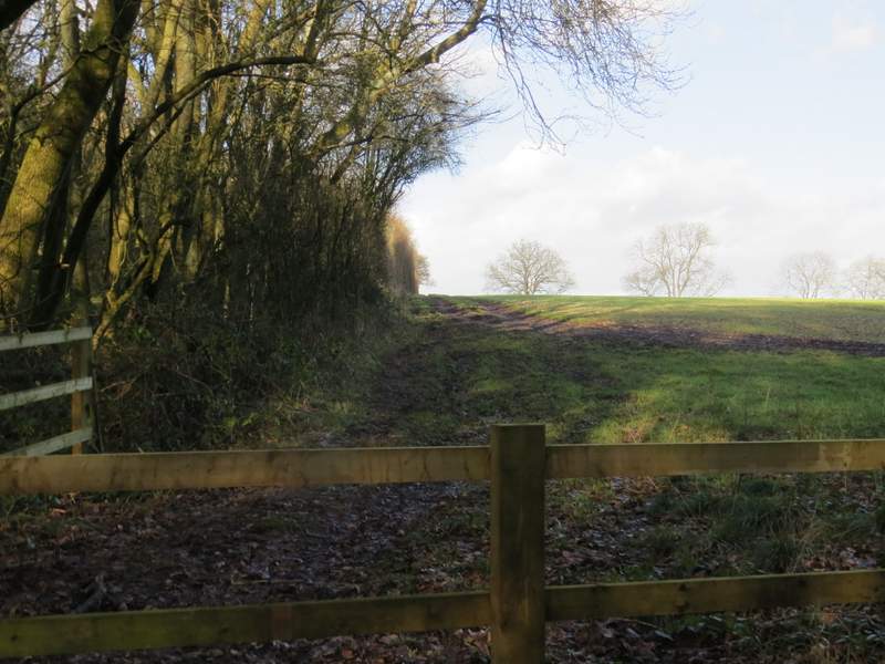
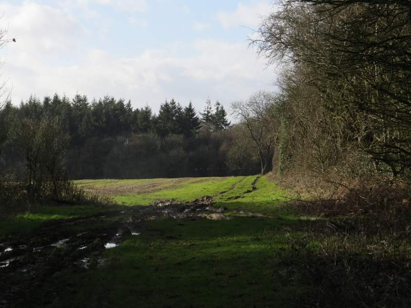
The path to Magpies
The path to Magpies
The path to Magpies
I turned right, passing two or three houses and continuing along a bridleway. This brought me to a drive from Westwood Manor Farm (which I'd seen earlier), where I turned left for a few yards, then took a footpath on the other side. This was soon following a line of beech trees on a low bank on my left. The path led me (after several hundred yards) to a road just south of the village (or hamlet) of Park Corner. I turned right (there was a broad verge on the other side of the road), and then went half-left down a lane. At a lane junction I went straight on, and when the lane turned left I again went straight on down a track called Digberry Lane. After a couple of cottages this became just a bridleway running through a narrow wood.
The bridleway from Magpies
The path to Park Corner (from the drive to Westwood Manor Farm)
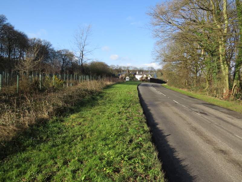
The road to Park Corner
The lane at Park Corner
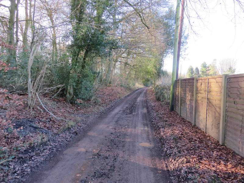
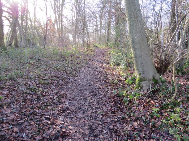
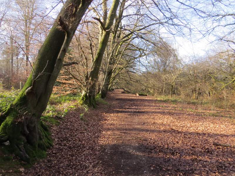
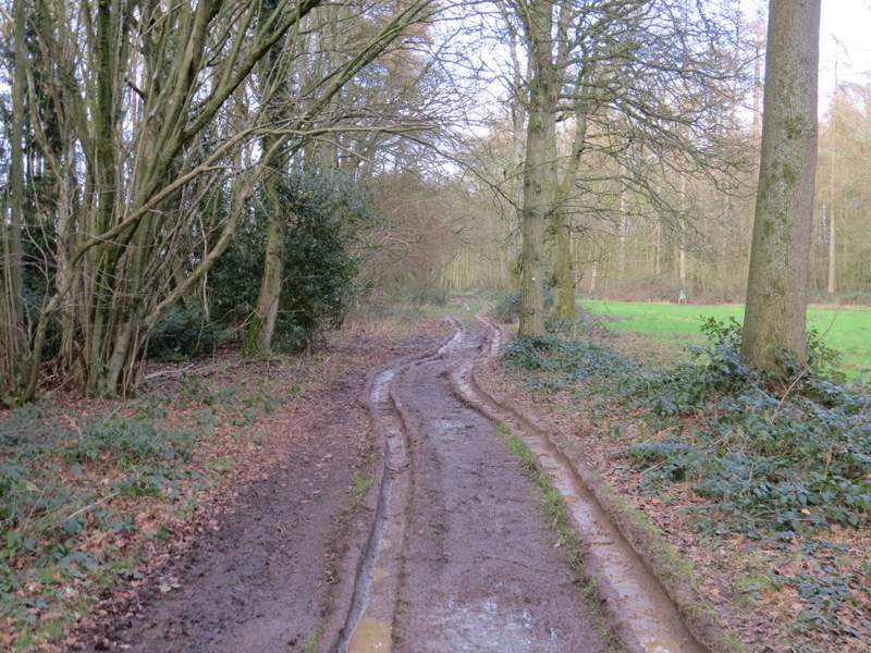
Digberry Lane
Digberry Lane
Digberry Lane
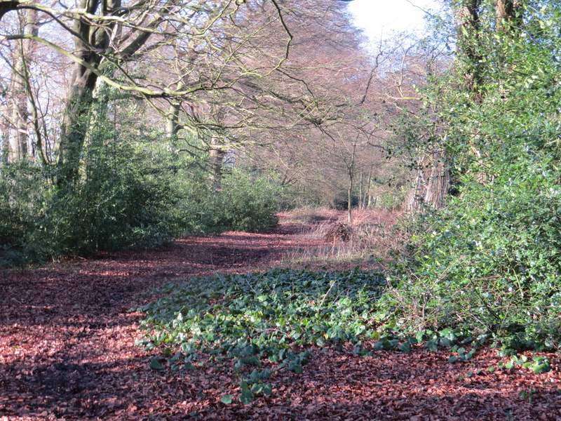
After almost half a mile I came to a bridleway T-junction where I turned left, the new bridleway again running through a narrow bit of woodland. I soon came to a point where a footpath crossed the bridleway, and I turned right. The path went slightly uphill beside a small wood on my left - most of the paths had been muddy today, but this section was particularly squelchy for some reason. At the top of the slope I reached a field corner where the path turned left. I was soon following a wood on my right with a large field on my left - I heard and saw a Buzzard here (I'd already seen numerous Red Kites during the walk). Beyond the field the path followed a very muddy track through a wood, turning right at one point and bringing me to a surfaced drive. Here I turned left, and followed the drive past some cottages and on to reach a path crossroads near Ewelme Park.
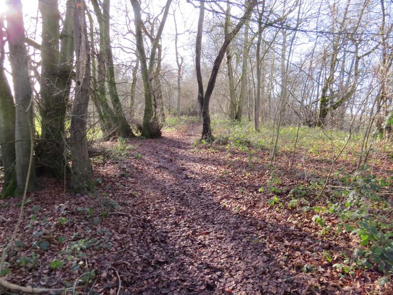
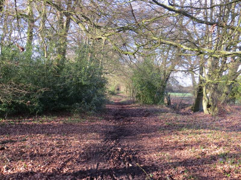
The start of the path to Ewelme Park
The path to Ewelme Park
The path to Ewelme Park
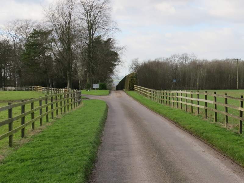
The drive to Ewelme Park (I went straight on where the drive splits in two)