Pete's Walks - Cowleaze Wood, Chinnor, Ibstone (page 1 of 7)
If you are considering walking this route yourself, please see my disclaimer. You may also like to see these notes about the maps and GPX files.
Google map of the walkDownload GPX file of the walk
NOTE (6/11/2025): Parking at Cowleaze Wood is no longer free, there is now a cashless payment system. To see details, click here and then click on the 'Parking and prices' tab.
I did this circular walk of about 16.5 miles on Saturday, February 27th, 2016. It was a new route for me, though most paths were ones I'd walked before. There were a few paths I'd never walked before, a few I'd only walked once or twice before and a few that I hadn't walked for a few years. In fact, the only part of the route that I've walked many times before was the very pleasant section from Ibstone to near Christmas Common.
The car park at Cowleaze Wood is right on top of the Chiltern escarpment, a mile or so roughly west of Stokenchurch. Four paths start at or near the car park, one going east into the Wormsley valley and three descending the escarpment westwards at different points. Although I have started many walks at Cowleaze Wood, I have almost invariably only used the southernmost path going westwards, which descends the southern side of Shirburn Hill, and the path from the Wormsley valley - the only exceptions have been two times when I've gone down the path on the south side of Bald Hill. My idea for today's route was to go down the path I'd not yet used, and finish by coming up the path on Bald Hill for the first time. Looking on the OS map, I came up with this circular route that I thought was about 14.5 miles long (it turned out to be two miles longer!) that went northeast along the Ridgeway to Chinnor, back up the escarpment and then south to Stokenchurch, further south to Ibstone, then west across the Wormsley Valley to near Christmas Common, before descending the escarpment at Pyrton Hill and then going north along the Ridgeway to the foot of Bald Hill.
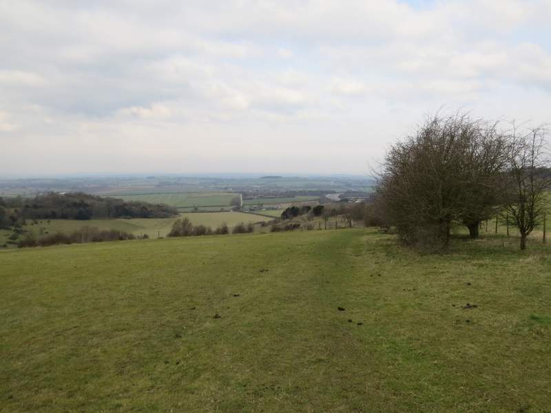
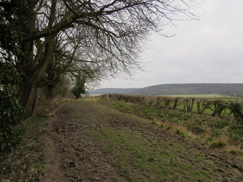
I started walking about 10.10am, from the car park at Cowleaze Wood (grid reference SU 726956). I walked through the car park with the road to my left, until I came to a notice board. Here I crossed the road and went through a gate, turning right to follow the edge of part of the Aston Rowant nature reserve, with the road over the hedge on my right. I went through another gate and over a drive (I could have got to the same point by going to the end of the car park and then crossing the road), continuing along a bridleway and still with road over the hedge on my right. There were occasional views to my left, over the nature reserve as it descended the escarpment and out to the Oxfordshire plain beyond.
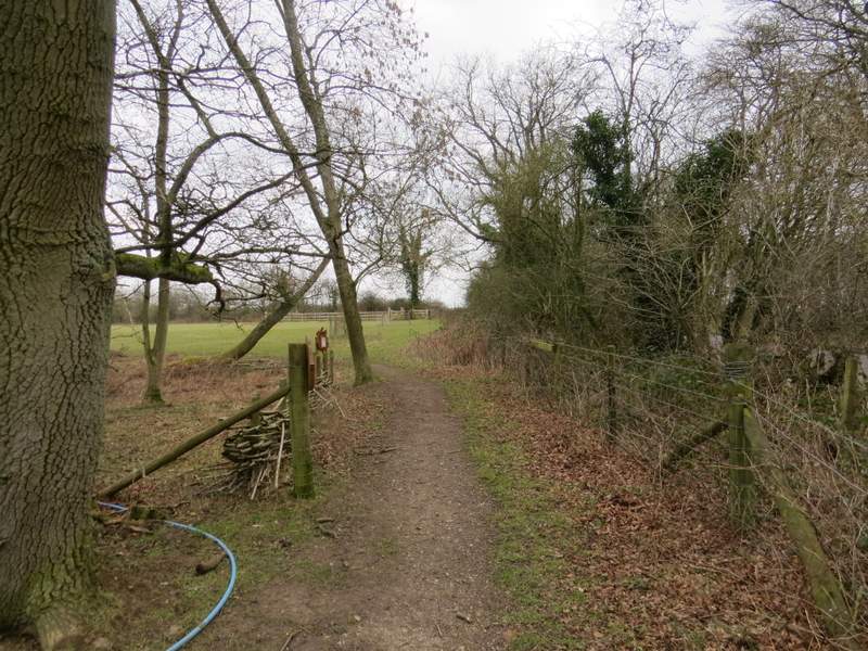
The path through part of the Aston Rowant nature reserve, close to the road
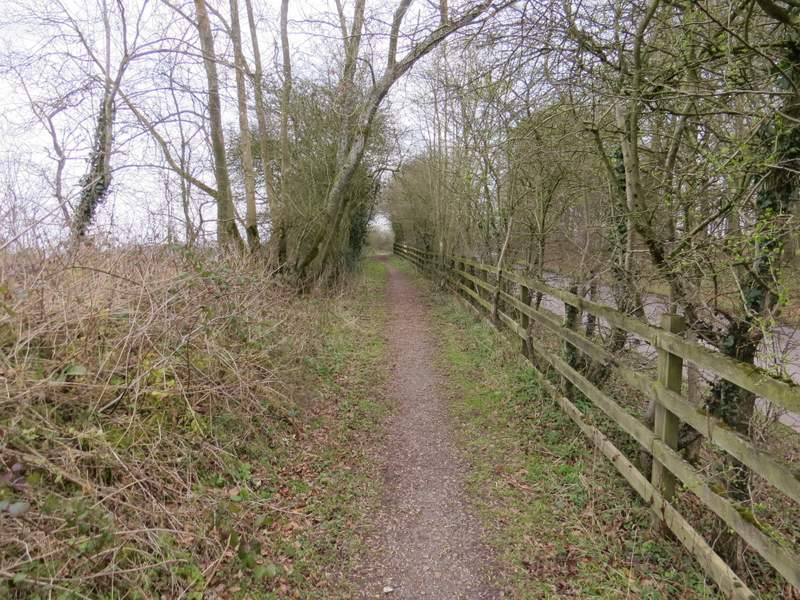
The bridleway running next to the road
The bridleway running next to the road - note one of the nature reserve's small information boards
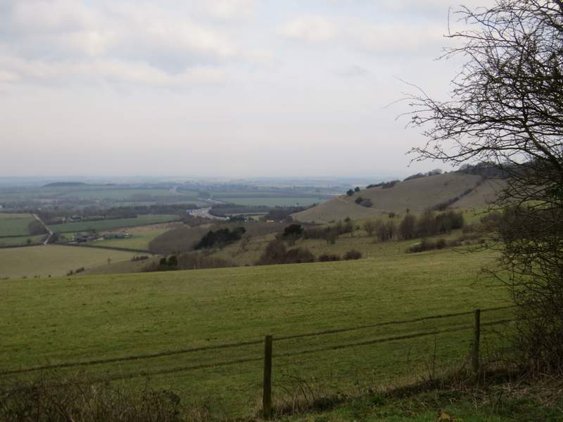
Looking left (northwest) from the bridleway to where the M40 leaves the Chilterns - the motorway divides the Aston Rowant Nature reserve in two
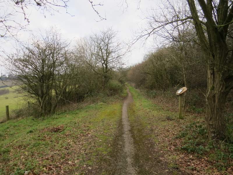
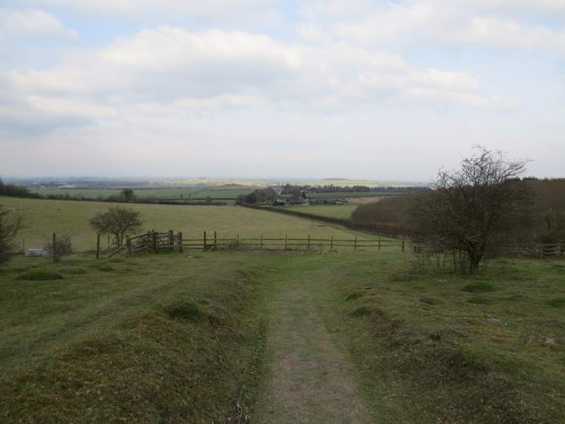
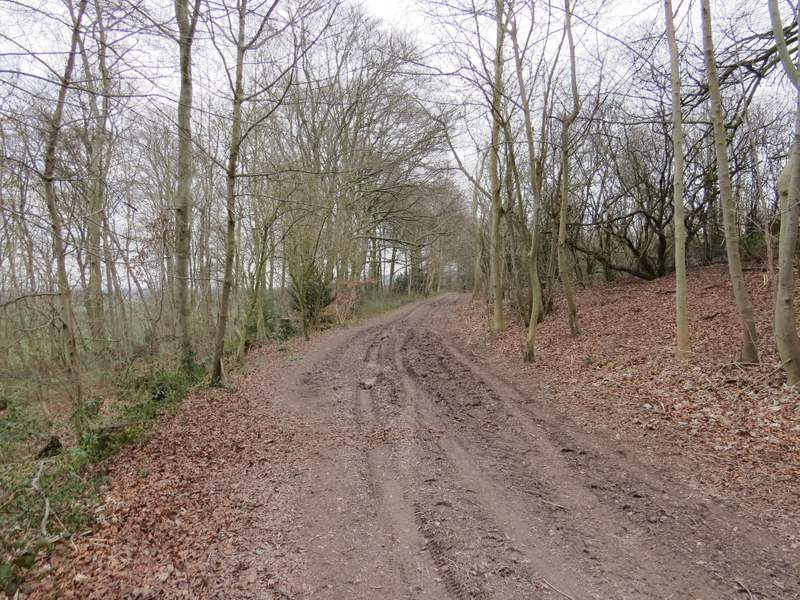
When I reached a path junction I turned left onto a footpath that started to descend Linkey Down (it's not named on the OS map, I only learnt its name from one of the small information boards dotted around the nature reserve). It was a long and gentle descent, with views ahead over the Oxfordshire plain - the conditions were fairly dull and grey, I'm sure the views would be pretty impressive on a clearer day. There was a lot of road noise though, as the M40 was just a short distance to my right. Towards the bottom of the slope the path ran along a fence and hedge on my right, which brought me close to the entrance to Hill Farm. I then followed the drive from the farm a short distance to where the Ridgeway national trail crossed it.
The start of the path descending Linkey Down
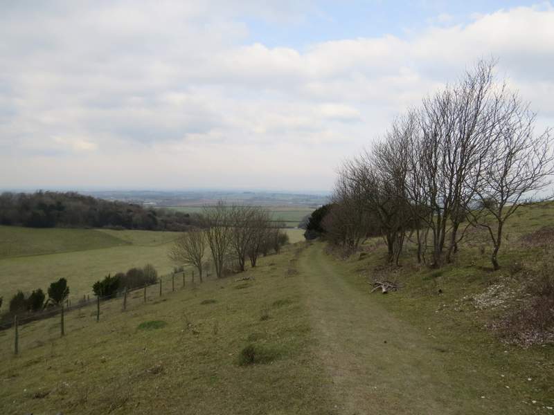
The path descending Linkey Down
The path descending Linkey Down
The path continuing towards Hill Farm
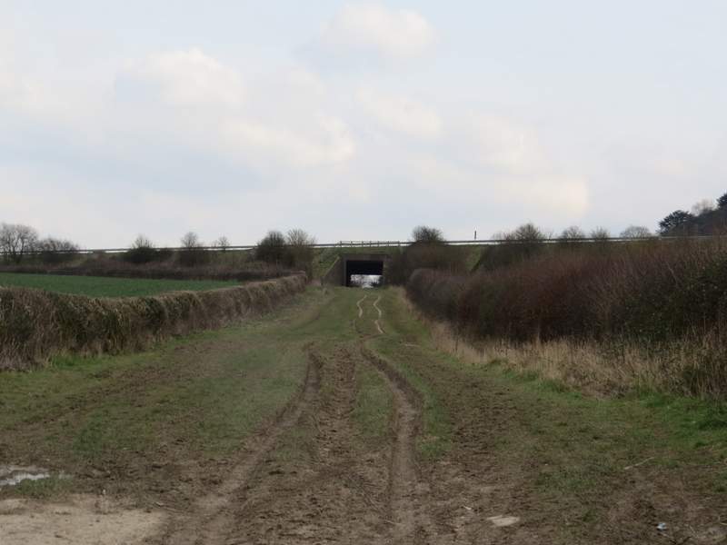
I turned right onto the Ridgeway, which I would now follow northeastwards for about an hour. It was a very broad track between hedges, and despite the last week being more or less rain-free it was still quite muddy in places. I soon passed under the M40 and continued on, passing the end of Beacon Hill on my right (there is another Beacon Hill near Chequers, and also Ivinghoe Beacon). Beacon Hill is also part of Aston Rowant nature reserve (which the M40 splits in half) and a little further on I came to another access point for the reserve.
The start of the long section along the Ridgeway National Trail, just before going under the M40
The Ridgeway, passing Beacon Hill (which is also in the Aston Rowant nature reserve)
The Ridgeway, passing Beacon Hill
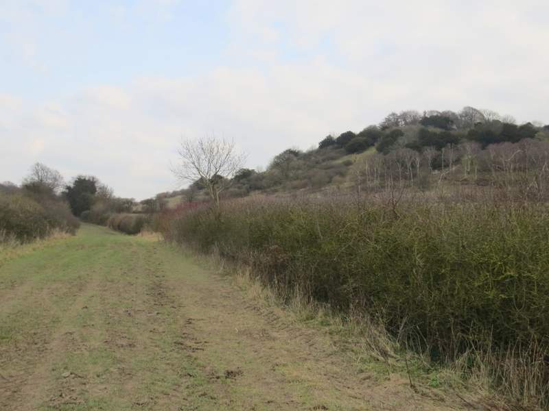
I then crossed the A40, as it was about to climb the Chiltern escarpment at Aston Hill (this one takes its name from Aston Rowant, there is another Aston Hill near Aston Clinton). The Ridgeway now generally had a tall hedge on the left and a shorter one on the right, so I could see across the fields to the Chiltern escarpment - for the next mile or two, the escarpment was heavily wooded. All this part of the Ridgeway was very flat, but the ground still sloped slightly downhill to the left, so there were still occasional views that way over part of the Oxfordshire Plain.
The Ridgeway, a little after I'd crossed the A40 - the escarpment here is heavily wooded
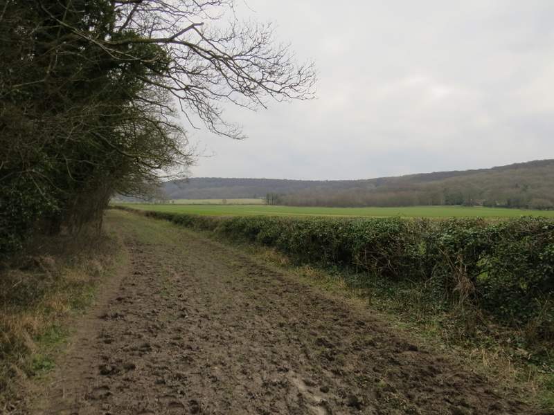
A little further along the Ridgeway