Pete's Walks- Cowleaze Wood, Chinnor, Ibstone (page 4 of 7)
If you are considering walking this route yourself, please see my disclaimer. You may also like to see these notes about the maps and GPX files.
I turned right along the drive from Hallbottom Farm and immediately came to a path junction. Simply because I'd not done it before, I turned left and continued along the surfaced drive instead of going straight on along a path into more woodland. The drive went gently uphill and turned right. The path through the wood soon came in on my right, and I continued along the drive, passing a few more properties as I made my way into the large village of Stokenchurch.
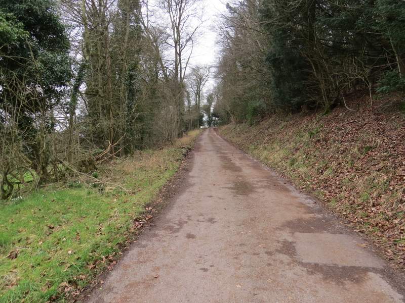
The drive from Hallbottom Farm
The drive from Hallbottom Farm
The lane into Stokenchurch
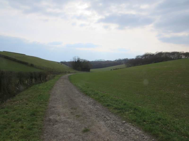
When the drive or lane ended at a junction with a street I went straight on a few yards to another junction where I turned right (there was a pub on this corner), and followed this street which soon curved left to reach the main road through Stokenchurch. Across this road, I went straight on down a street with grassy areas either side, and continued down Coopers Court Road. When this turned left I went straight on down a farm drive, which very soon took me back under the M40 motorway. I then turned left and followed a farm track that soon curved right to follow a hedgerow along the start of a valley. After a while I think I should have left the track and followed a path across part of the field to my right, but if there was a sign I missed it and so I stayed on the track instead. When it reached a wood, I went through the second gate (the path I should have been on came in from the right here) and followed a track, still along the valley bottom, through the woods.
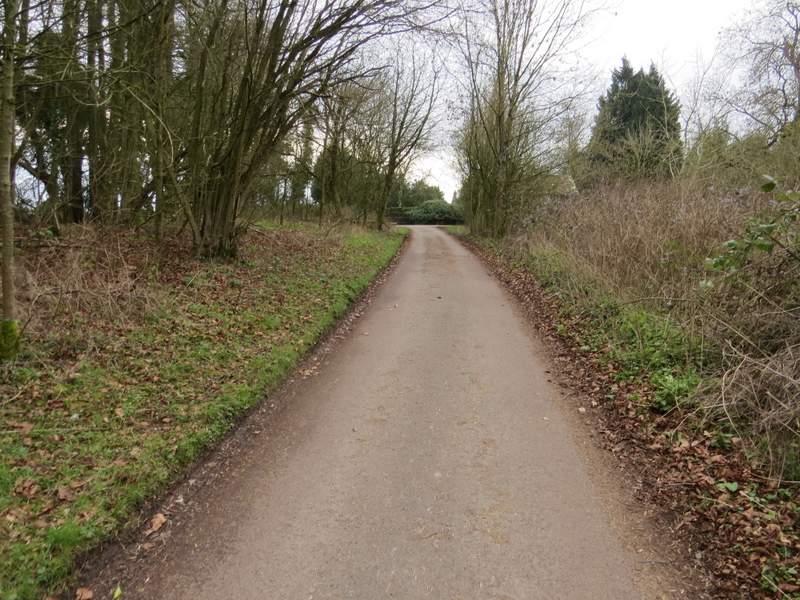
The start of the path south to Twigside Bottom (just after turning left after going back under the M40)
The path south to Twigside Bottom
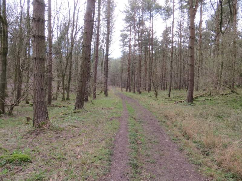
The path south to or through Twigside Bottom - I'm not sure if that's the name of the entire valley or just part of it near Ibstone
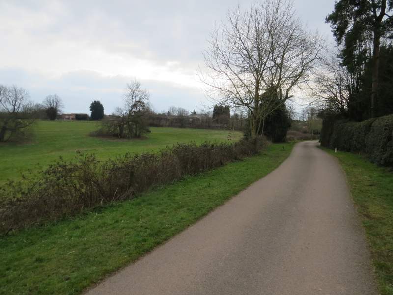
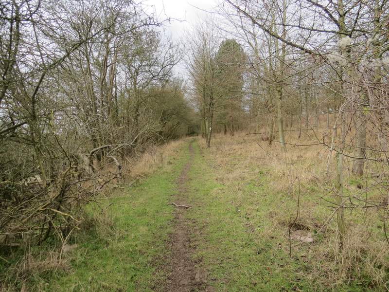
It was very pleasant following the path as it followed the curving bottom of the valley - I think the valley is called Twigside Bottom, at least that's the name on the OS map further down it near Ibstone. After about half a mile a path came in on the left, which I knew had come down from Penley Farm, and after about another hundred yards I turned right onto another path.

The path south to or through Twigside Bottom
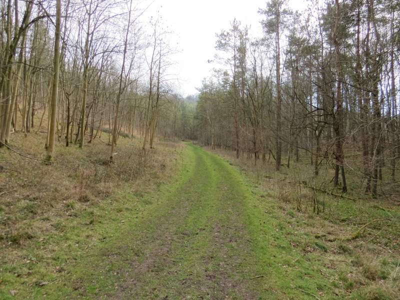
The path south to or through Twigside Bottom
The path south to or through Twigside Bottom - this is in Penley Wood, just before the path from Penley Farm comes in on the right
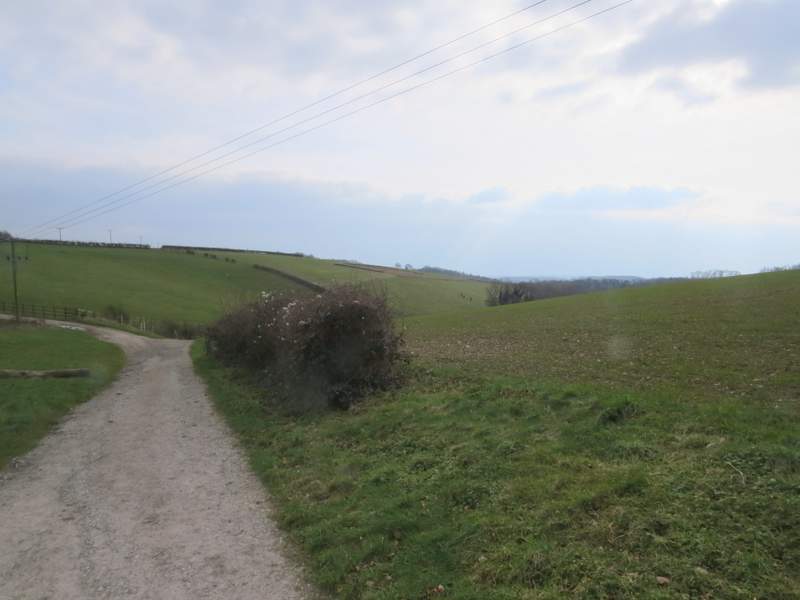
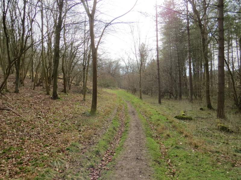
This path (which I'd only walked once before, and that was by mistake!) immediately left Penley Wood and headed gently uphill across a ploughed field. It continued through a small plantation of trees. When I came to a path junction, I turned left onto part of the Chiltern Way (which I'd been on before as I walked through Stokenchurch). The path soon left the trees and dropped downhill along the right edge of a field with Commonhill Wood now on my right.
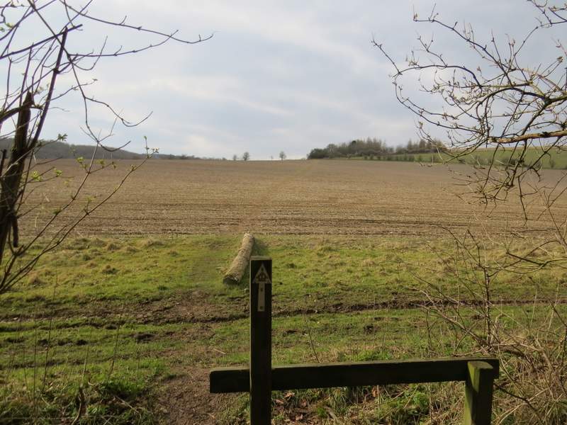
The path after I turned right
Further along the same path
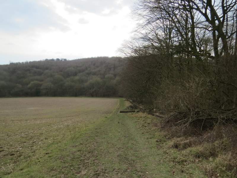
Now on the Chiltern Way after turning left at a path junction, descending towards Hartsmoor Wood