Pete's Walks- Maidensgrove and Rotherfield Peppard (page 6 of 6)
If you are considering walking this route yourself, please see my disclaimer. You may also like to see these notes about the maps and GPX files.
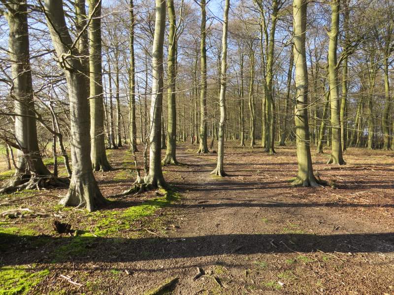
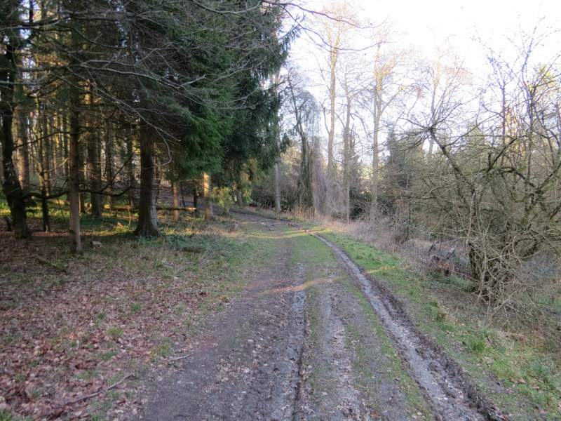
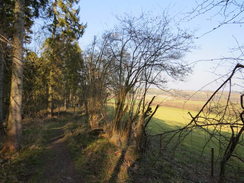
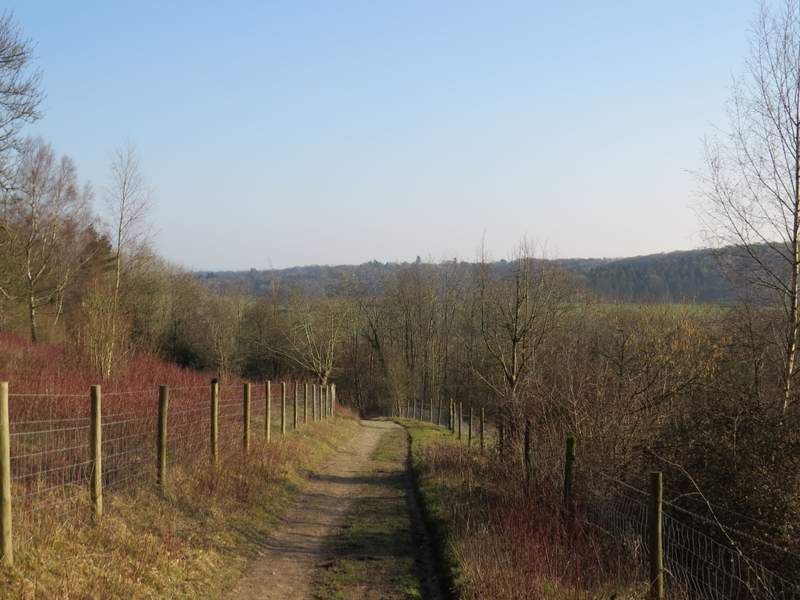
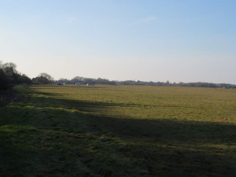
I crossed the road and took a footpath on the other side, which was soon crossing a very large arable field. On the far side I entered a wood called Bushey Copse, where the path bore slightly left. After a while, the path joined a track, now in a wood called Coney Burrow (I think). Further on I passed a gate on the right with a view over the valley of Bix Bottom, the path now running close to the edge of the wood. At the end of the wood, there was another fine view over Bix Bottom. The path now dropped downhill through an empty pasture, then turned right along a track to reach Valley End Farm and the lane through Bix Bottom.
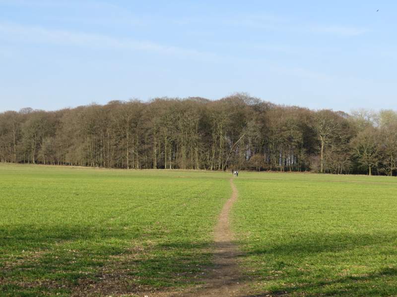
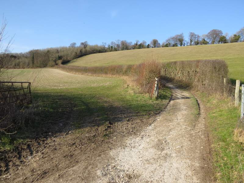
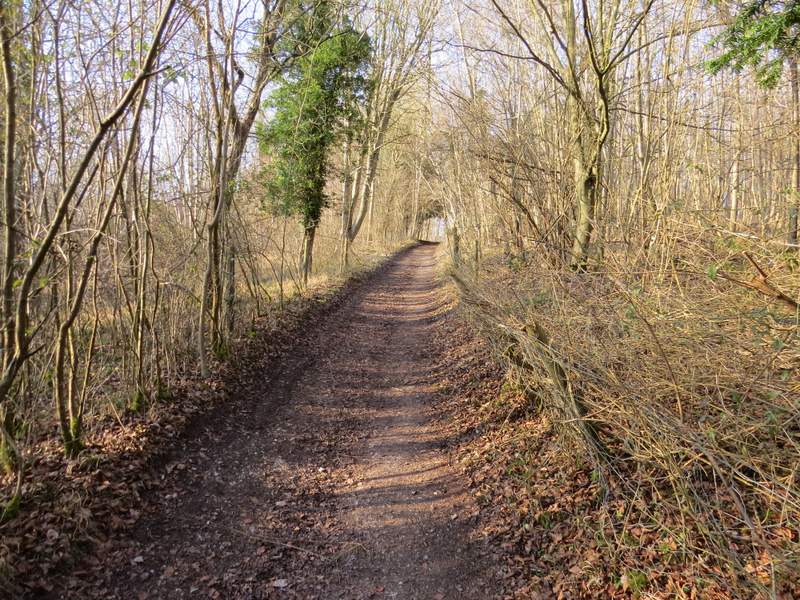
The footpath from Bix to Bushy Copse
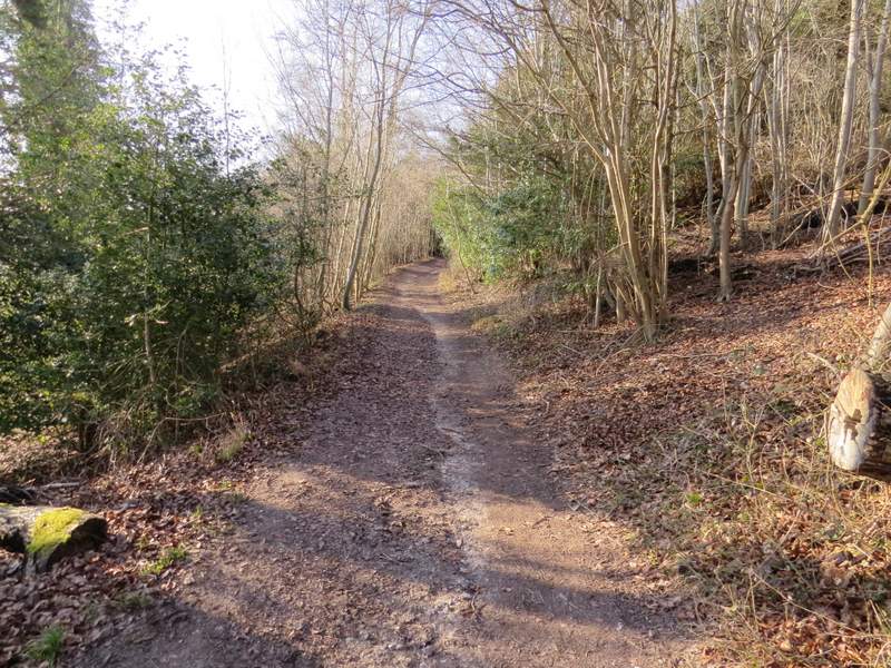
Bushy Copse
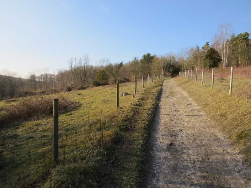
Coney Burrow
Coney Burrow
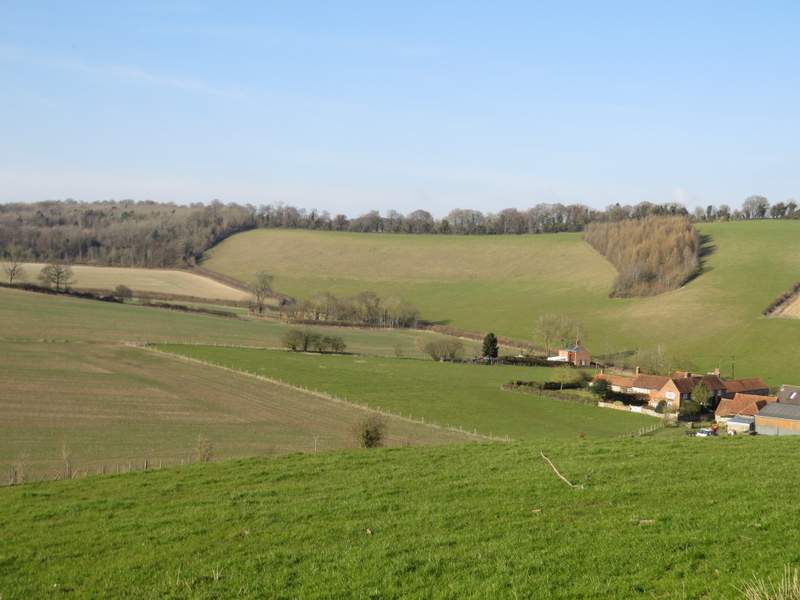
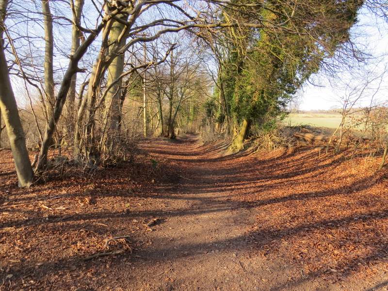
The view from the edge of Coney Burrow, over Bix Bottom and Valley End Farm
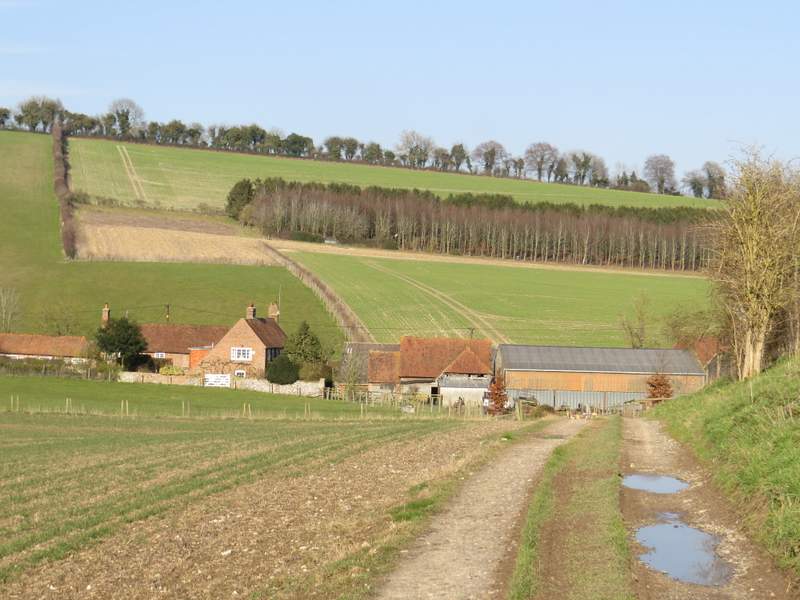
Approaching Valley End Farm
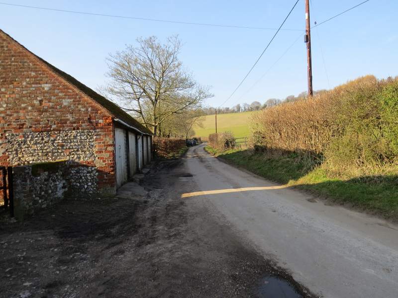
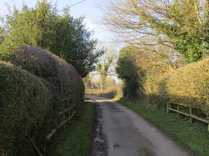
I turned left along the lane (which takes you to the car park and visitor centre at the Warburg nature reserve). I soon reached the ruins of the old church of St James on my left - it has recently undergone restoration work to make it safe and accessible to visitors, mainly with the aid of a £96,000 grant from the Heritage Lottery Fund. Personally, I think it looks a little over-restored, but I'm sure it is safer than the Ivy-clad shell I first visited when I walked the Chiltern Way in 2005. Just a little further along the lane I took a bridleway on the right, which climbed slowly uphill between stout hedgerows.
The lane through Bix Bottom
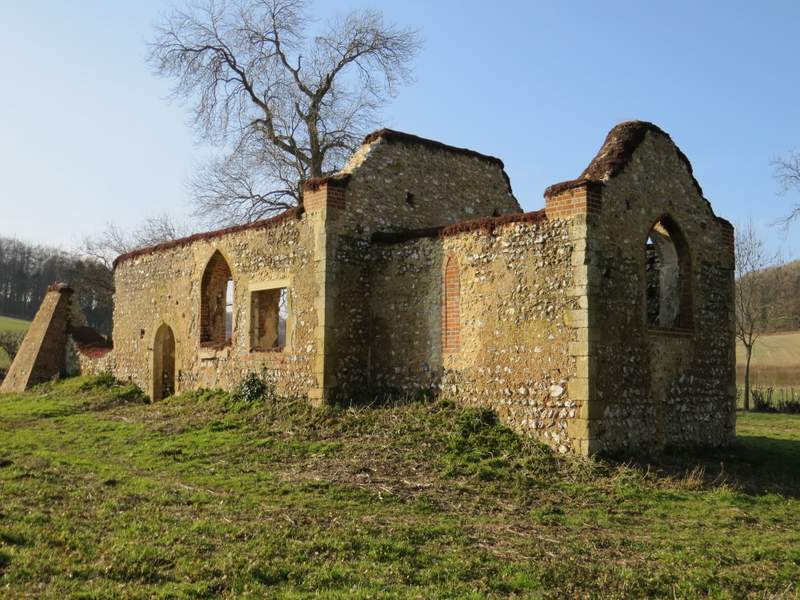
The old church at Bix Bottom
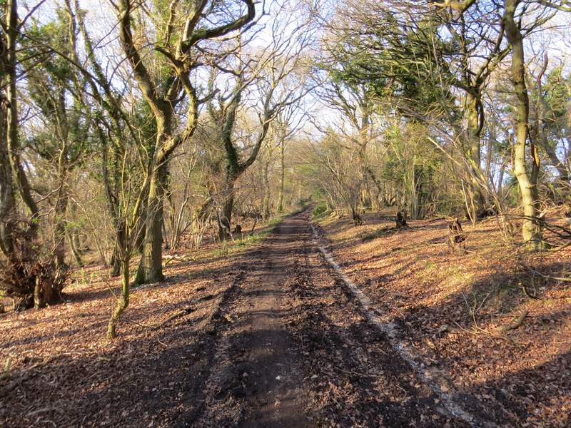
The start of the bridleway from Bix Bottom to Maidensgrove
Further on, the bridleway passed through Freedom Wood (like Famous Copse, I'd love to know the origin of this wood's name), and continued gently uphill through part of the Warburg nature reserve. I went straight on where a byway came in sharply from the right (Warmscombe Lane, I really must walk it sometime), the bridleway now almost level and still with the woods of the Warburg nature reserve on my right. Eventually I reached Lodge Farm at Maidensgrove, where I turned left along a lane. After maybe a quarter of a mile, where the lane turned right, I went left to reach Maidensgrove Common, following the left edge of the common until I came to the lane that crosses it, where I turned right to return to my car.
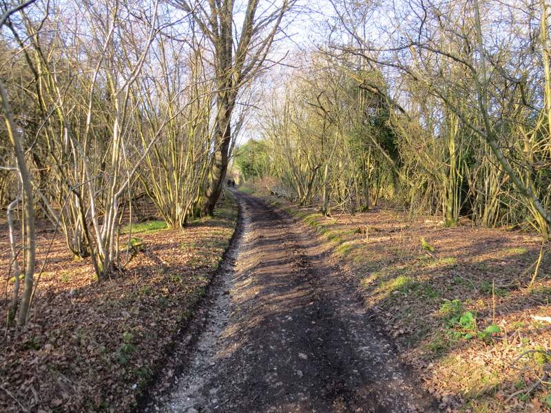
The bridleway from Bix Bottom to Maidensgrove, in Freedom Wood
The bridleway from Bix Bottom to Maidensgrove, now in part of the Warburg nature reserve
Looking back, from a little further up the bridleway
The bridleway from Bix Bottom to Maidensgrove
The bridleway from Bix Bottom to Maidensgrove (where Warmscombe Lane comes in on the right)
The bridleway from Bix Bottom to Maidensgrove
Near the end of the bridleway from Bix Bottom to Maidensgrove
The lane through Maidensgrove
Maidensgrove Common
It had been a thoroughly enjoyable walk, on a glorious early Spring day. It had been pleasantly sunny throughout the walk, though cold enough that I'd put on my warm hat and fingerless gloves after the first mile or so of the walk and had kept them on. It wasn't the hilliest of routes, but had enough ups and downs to keep it interesting. A large proportion of the route was through woodland, but again there were enough sections through farmland to prevent the woods becoming monotonous. Greys Court and the old church at Bix Bottom added some historic interest too.