Pete's Walks- Ashridge Estate Boundary Trail (page 1 of 6)
If you are considering walking this route yourself, please see my disclaimer. You may also like to see these notes about the maps and GPX files.
I did this circular walk of about 16 miles on Saturday, 2nd April, 2016.
The Ashridge Estate Boundary Trail does "exactly what it says on the tin", it is a 16-mile walk round the National Trust's Ashridge Estate which straddles the Buckinghamshire/Hertfordshire boundary in the Chiltern Hills. It's a walk I've done several times before (see here) but the last time I walked it was just over five years ago. It's a route created by the National Trust, and reasonably well waymarked though I did come across a few points where waymarks were missing.
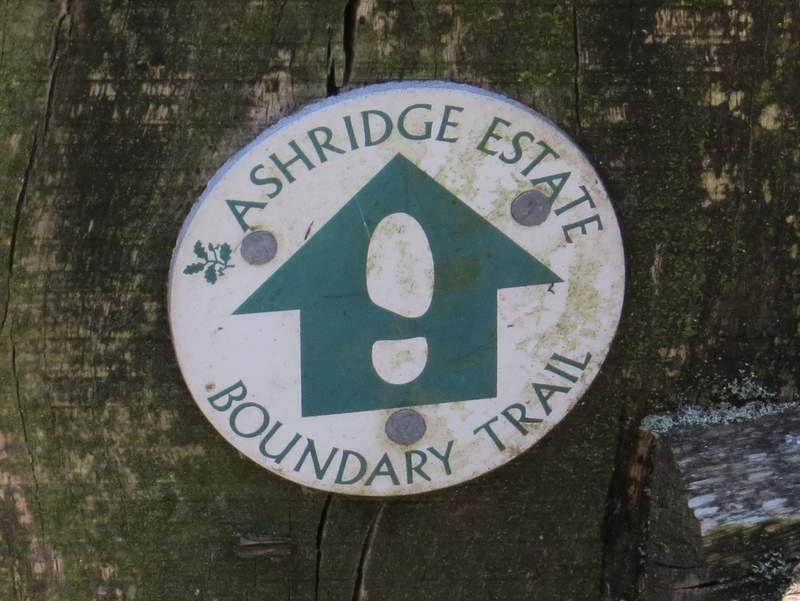
An example of an Ashridge Estate Boundary Trail waymark
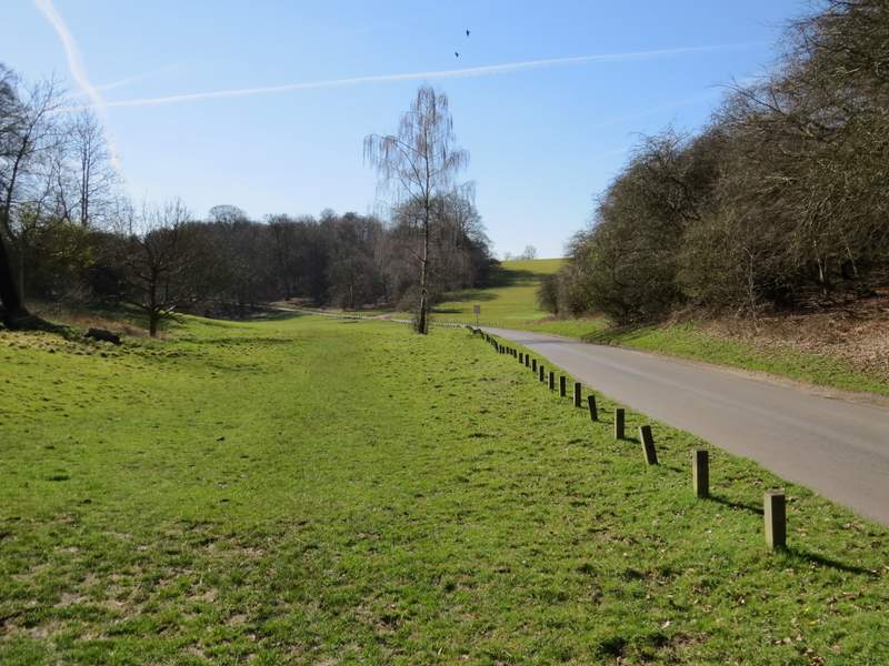
I parked in the small car park on the B4506 just south of Ringshall (grid reference SP 983137), and started walking about 10.20am. I crossed the road and took the path on the other side (this initial part of the path is not shown on the OS map), which ran through trees between large gardens on my left and part of Ashridge Golf course. Further on I passed some garden hedges on my left, and then soon had woodland on either side. After about a mile from the road, I reached a drive to Ashridge House - I crossed over and turned right alongside the drive for a while, before turning left into Golden Valley. Initially this was a broad swathe of grass along the bottom of a small valley topped with woods either side.
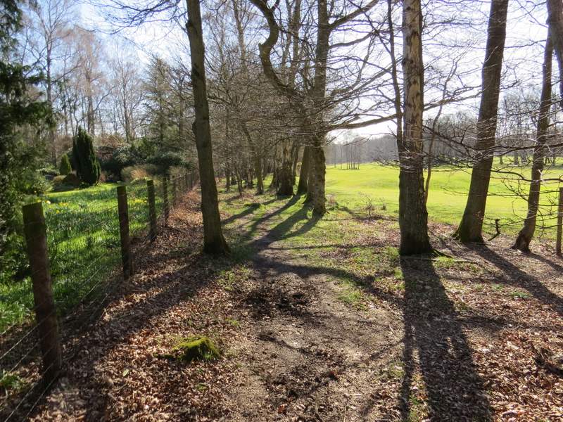
The start of the path from the Ringshall-Northchurch Road, beside part of Ashridge Golf Course
The path continuing past some garden hedges
The path continuing towards the drive to Ashridge House
The path continuing briefly beside the drive to Ashridge House, before turning left into Golden Valley
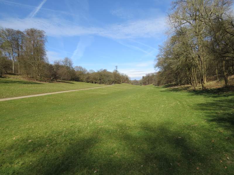
Looking back along Golden Valley (I had to take a shot looking back, as I had the sun straight ahead of me)
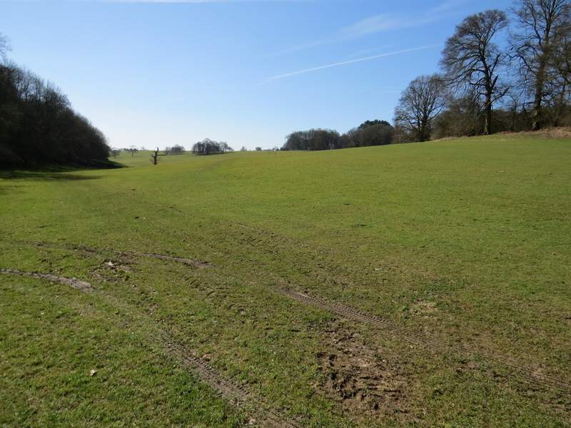
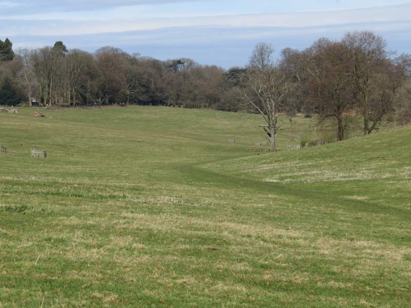
Golden Valley, approaching the enormous cattle pasture
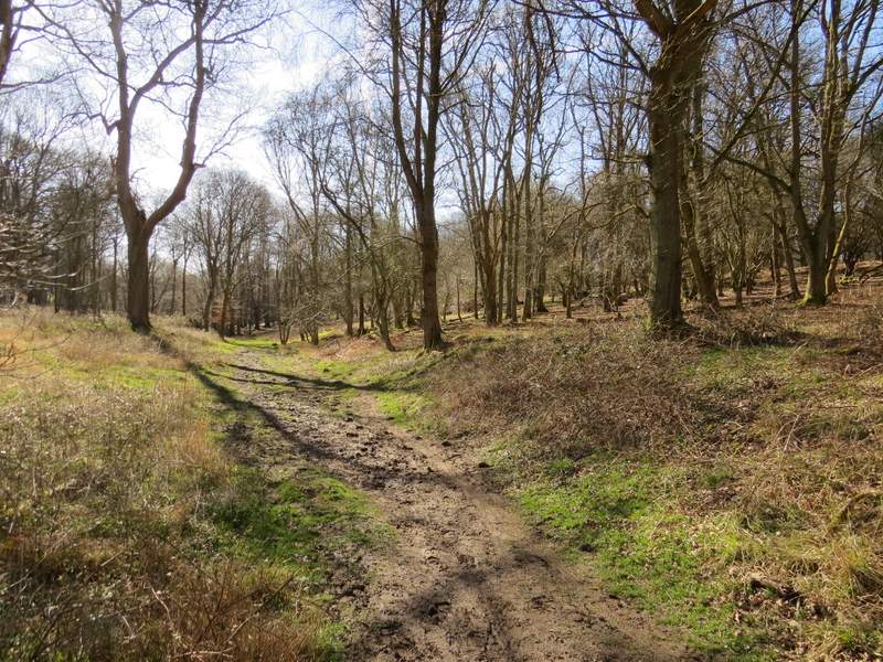
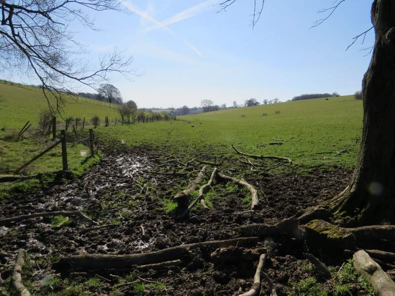
I followed the valley until I reached a crossing fence, where I went over a stile into a huge cattle pasture sloping up the hillside on my right. The path continued along the bottom of the valley, until I reached the fence on the far side of the huge pasture, where it turned right and followed the fence uphill. There were a few cows in the pasture, but they were all some way from the path. At the top of the hill, I turned left, still in a part of the same pasture and made my way to a gate into a small wood (Webb's Copse, I think). I continued through this wood, where I saw one or two Bluebells.
The path continuing through Golden valley, now in the enormous cattle pasture
Another shot looking back along Golden valley
The path turns right to go uphill along this edge of the cattle pasture
This is where the path turns left, still in the cattle pasture, to reach Webb's Copse (I think that's its name, the OS map is a little unclear)
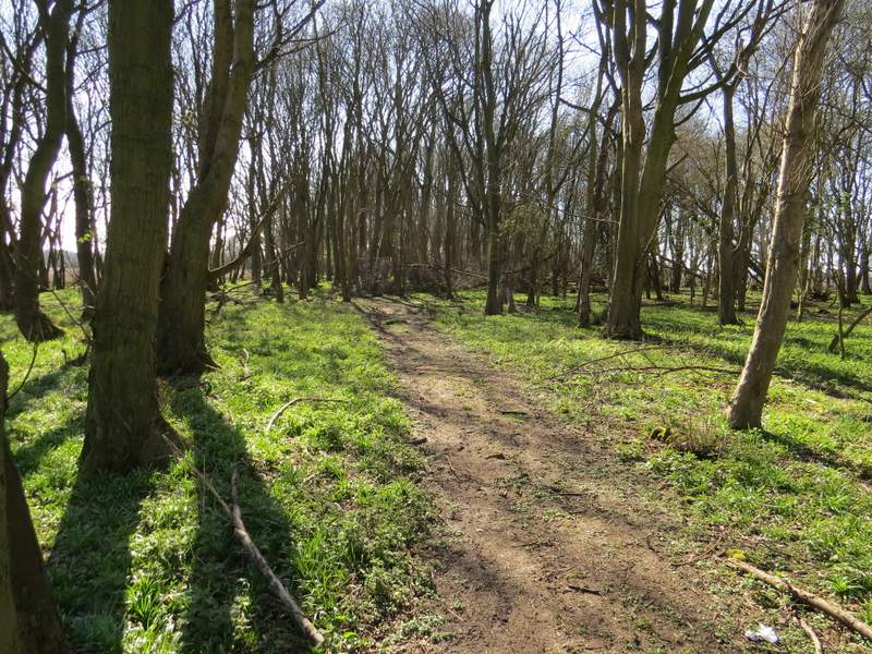
The path continuing through Webb's Copse
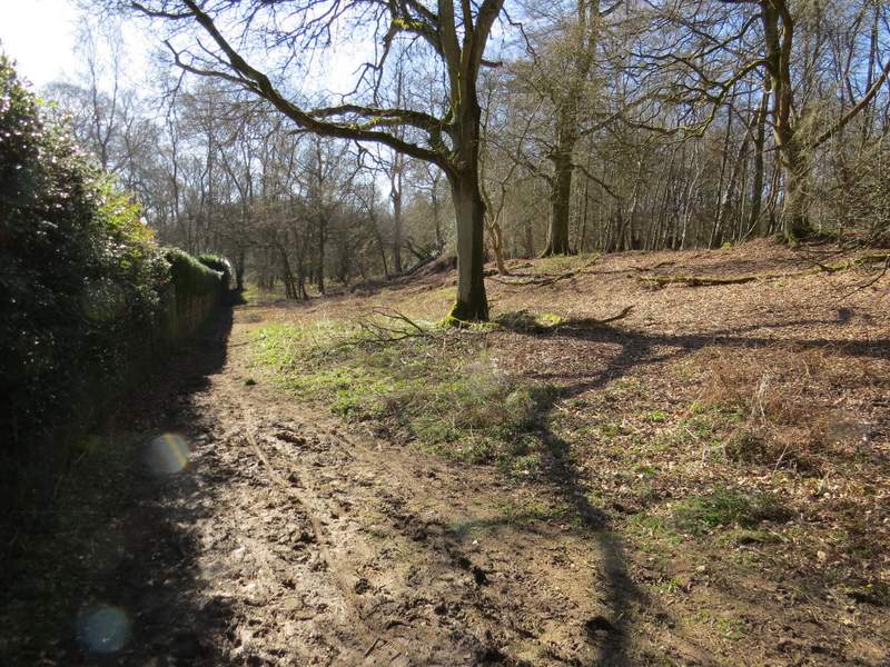
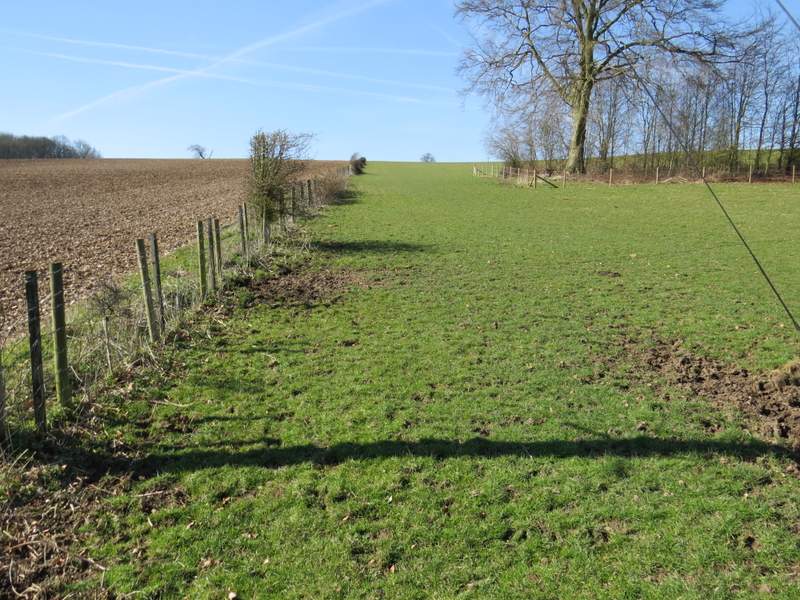
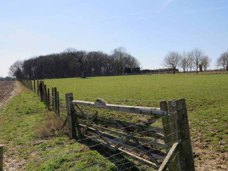
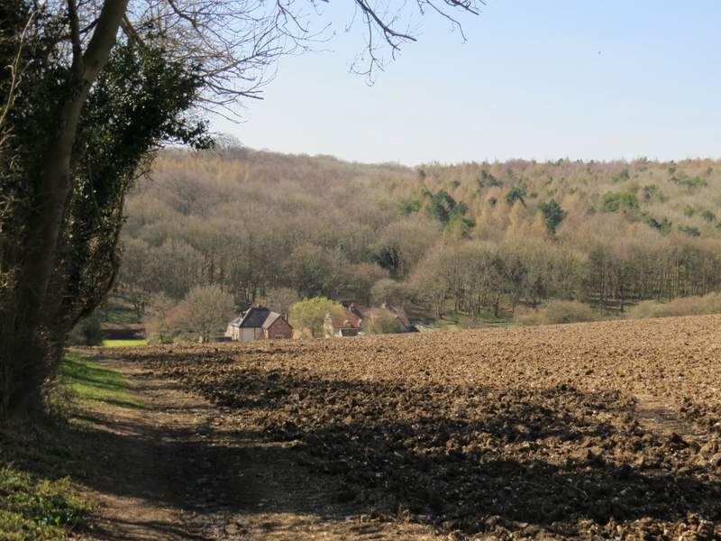
On the far side of the wood the path continued along a hedgerow, beside a large ploughed field on my right. Occasionally there were gaps in the hedge where I had a view along the valley towards Nettleden. At the end of the hedge the path went over a stile and continued through an empty sheep pasture to reach a gate by a stable yard. I then turned right through another gate, and followed a public footpath downhill to reach the village of Frithsden.
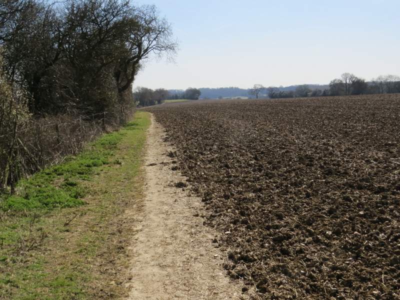
The path continuing from Webb's Copse
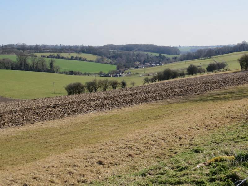
View along the valley towards Nettleden (on my last walk I took a shot looking towards Nettleden from the opposite direction)
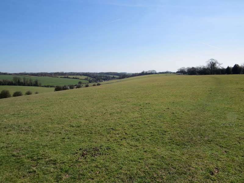
The path continuing towards through the empty sheep pasture
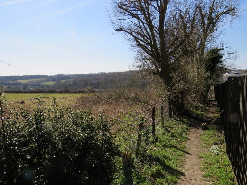
The start of the footpath down to Frithsden
The footpath down to Frithsden