Pete's Walks- Ashridge Estate Boundary Trail (page 5 of 6)
If you are considering walking this route yourself, please see my disclaimer. You may also like to see these notes about the maps and GPX files.
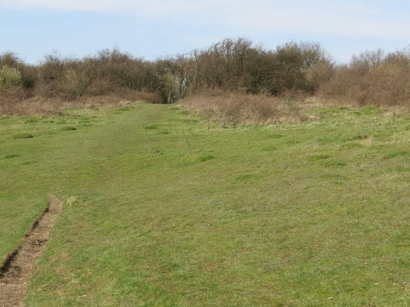
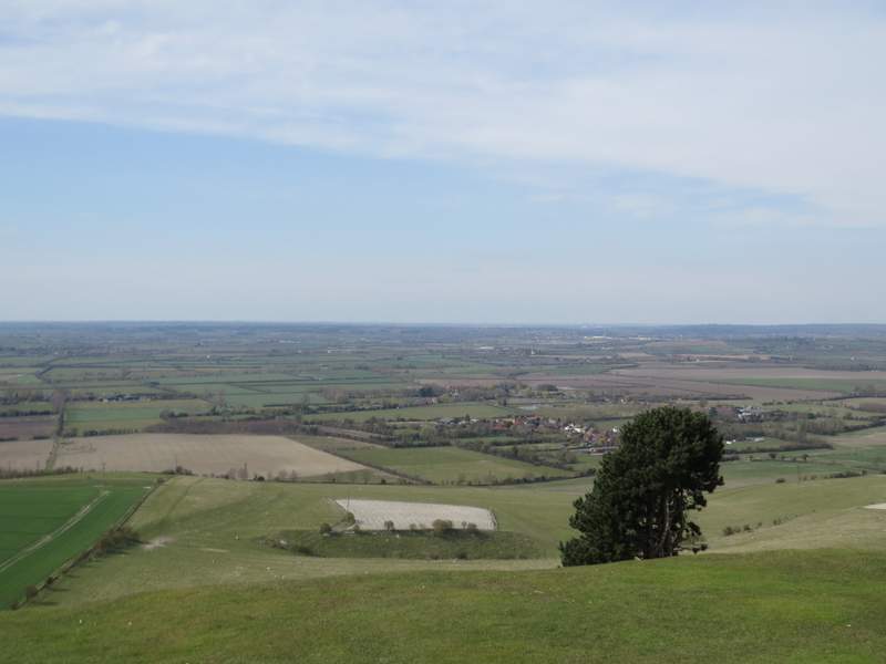
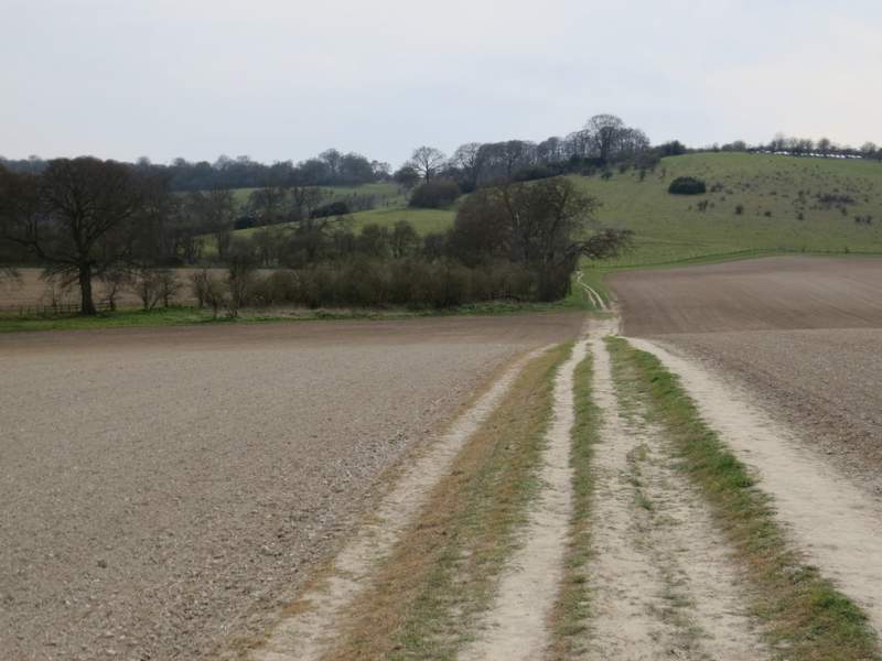
When the fence turned left at a path junction, I turned right onto the Ridgeway National Trail (marked by white acorn signs) and followed it as it made its way steadily up Steps Hill, turning sharply left at one point. At the top of the hill. I looked left and admired the view over the cleft of Incombe Hole (a stop for Ring Ouzels on migration).
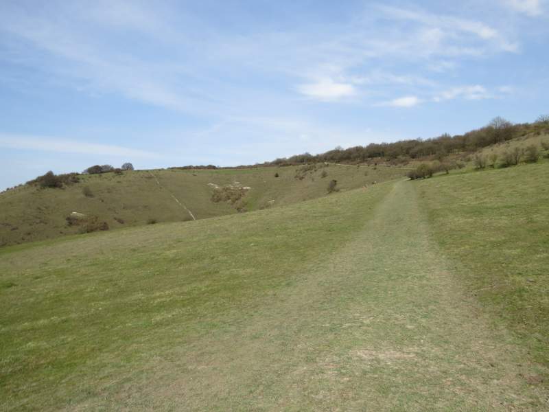
The Ridgeway national trail going up Steps Hill
The Ridgeway national trail going up Steps Hill
The Ridgeway national trail going up Steps Hill
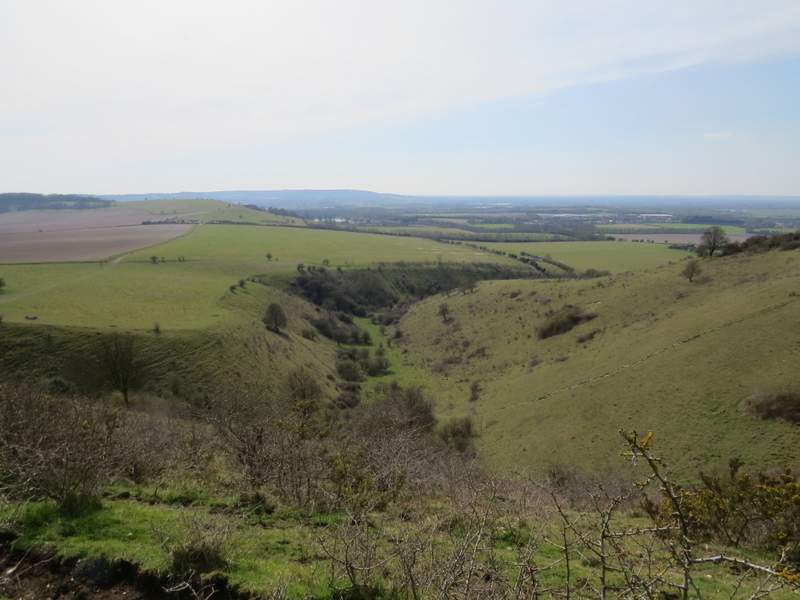
From Steps Hill looking over Incombe Hole
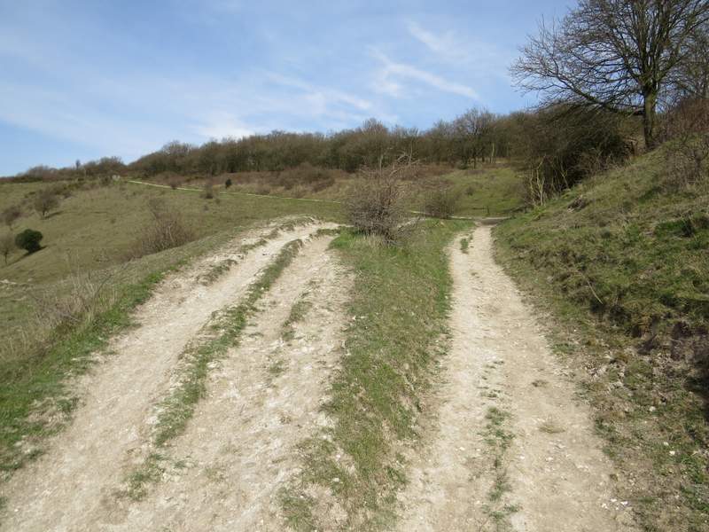
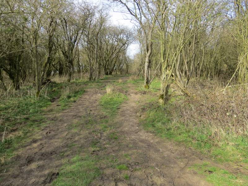
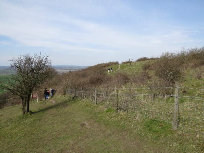
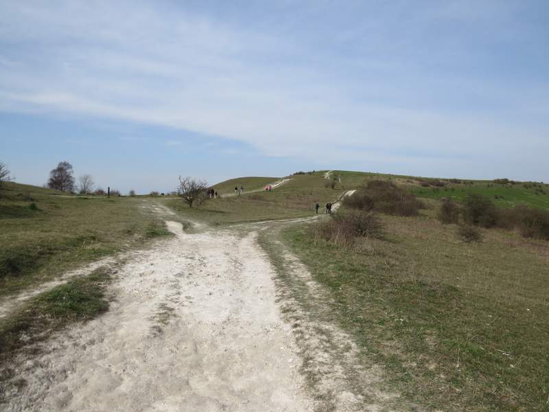
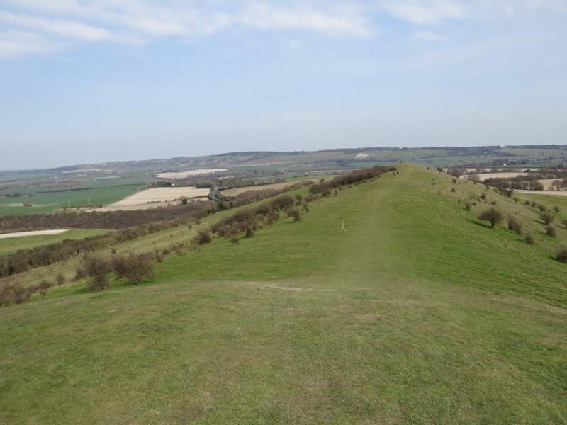
I went past, rather than through, the gate at the top of the hill, still following the Ridgeway as it made its way across the grass and entered an area of small trees. After a while the path here was very muddy indeed (there was the similar section by Berkhamstead Golf Course, and a patch churned up by cattle immediately before Webb's Copse, but otherwise the paths weren't too bad at all today - it's rather strange that there were these odd exceptions that weren't just muddy but VERY muddy). Beyond the small trees the Ridgeway dropped slightly downhill beside a fence on my right, then went through a gate and continued across an area of scrubby grassland to reach a road at a very sharp bend. Carefully across this, I followed chalky tracks towards, and then steeply up, Ivinghoe Beacon.
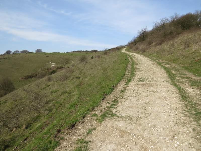
The Ridgeway continuing over Steps Hill
The Ridgeway continuing over Steps Hill
The Ridgeway continuing from Steps Hill towards Ivinghoe Beacon
Approaching Ivinghoe Beacon
The Vale of Aylesbury from Ivinghoe Beacon
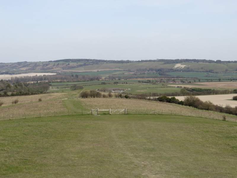
Having admired the far-reaching views from the top of the Beacon, I turned right and followed a path along the grassy ridge stretching from the Beacon to Gallows Hill. Ahead of me I could see the long line of the Dunstable and Whipsnade Downs, with the White Lion at Whipsnade Zoo a prominent feature. Immediately after I went through a gate there was a 'ring doughnut' shape in the grass, the remains of an ancient burial mound. Further on I went through two gates in quick succession, turning right immediately after the second one to follow a chalky track downhill. Straight ahead of me now I could see the start of what becomes the valley of the River Gade, which flows through Hemel Hempstead. At the bottom of the slope I turned right again, initially following a hedge on my left. Further on the path ran between ploughed fields, where I could see cars glinting in the sunlight at the top of the steep slope in front of me, indicating the car park for Ivinghoe Beacon.
The path along Gallows Hill, looking towards the Dunstable and Whipsnade Downs - the White Lion is at Whipsnade Zoo
Further along the path over Gallows Hill
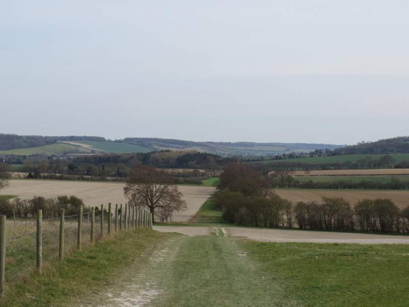
After I turned right from Gallows Hill (the valley ahead becomes is the Gade Valley, though the river doesn't start for a mile or two down it)
The path after I turned right again
Further along the path (the car park for Ivinghoe Beacon is at the top of the slope on the right)