Pete's Walks- Maidensgrove, Ibstone, Middle Assendon (page 5 of 6)
If you are considering walking this route yourself, please see my disclaimer. You may also like to see these notes about the maps and GPX files.
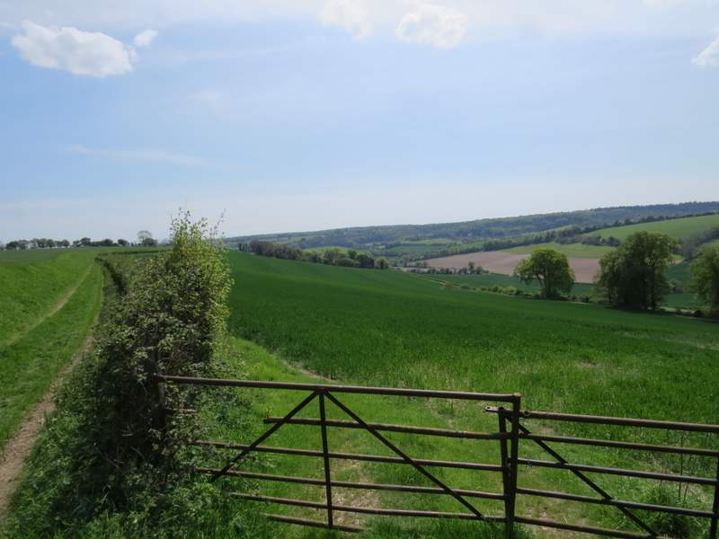
I carried on along the footpath through the deer park, which is one of my favourite paths in the Chilterns (though it is much better in this direction than the other - not just because its downhill, but because the views are much better). The view ahead of me got better and better, looking along a valley towards Pishill and its church, where I'd been near the start of the walk. Eventually the path dropped quite steeply downhill for a short distance to reach a gate in the fence around the deer park. I turned left, and followed the road that runs through the village of Stonor.
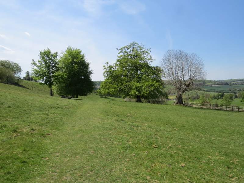
The path continuing through the deer park around Stonor House
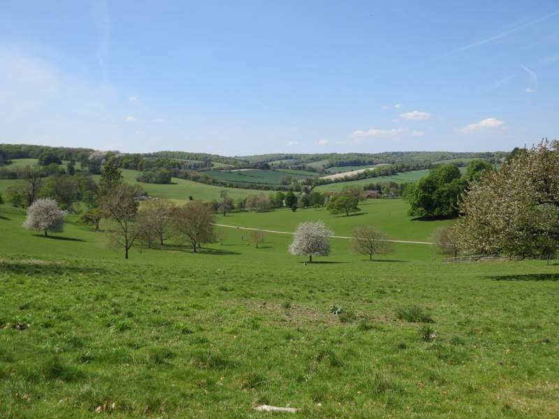
View towards Pishill from the deer park around Stonor House
The path continuing through the deer park around Stonor House
Another view towards Pishill from the deer park around Stonor House
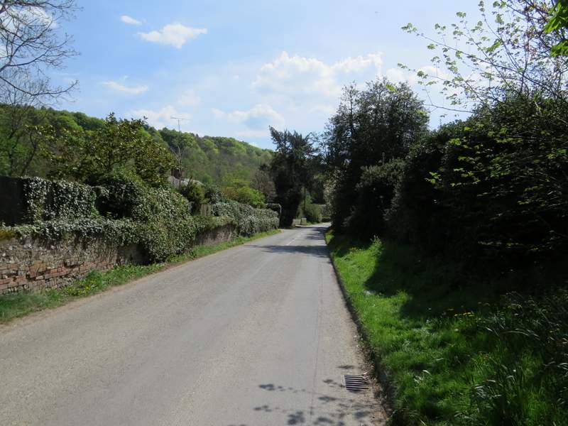
The road through Stonor
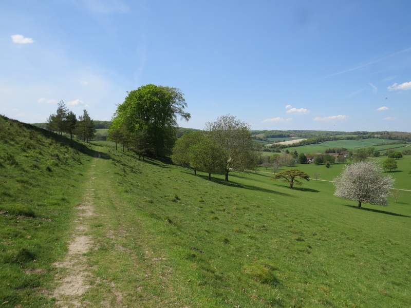
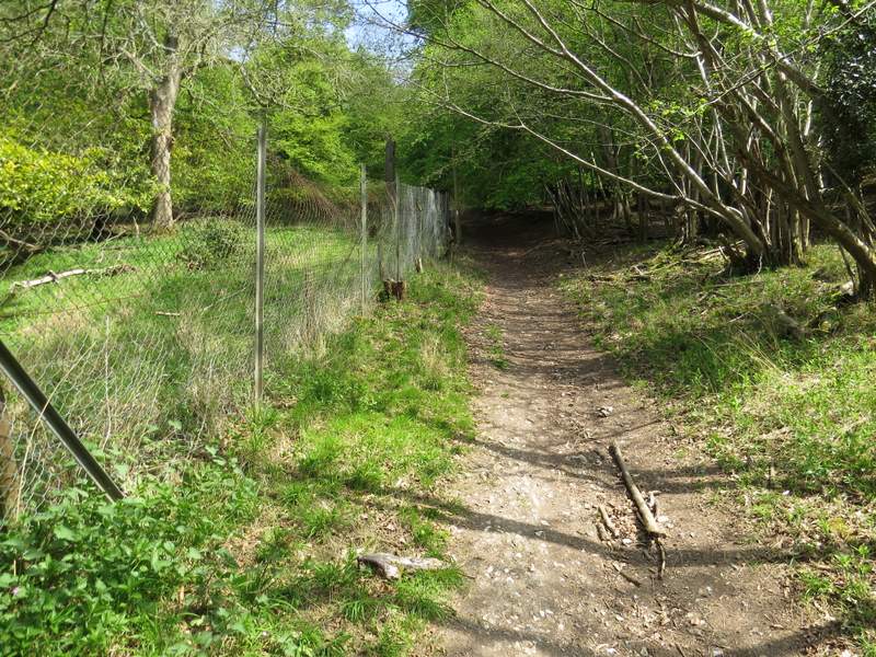
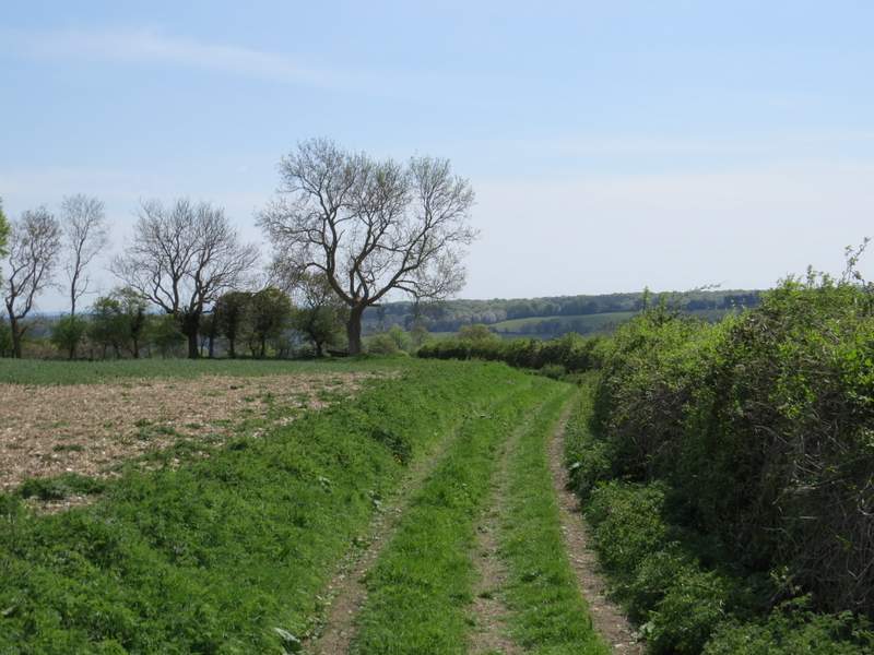
I passed a road junction, where a lane went right to Maidensgrove (the lane I was parked next to, on Maidensgrove Common). A little further on I turned left onto a bridleway (I could have shortened the walk by staying on the Chiltern Way, going a few yards further along the road and taking a footpath on the right that goes to Lodge Farm at Maidensgrove). The bridleway ran between garden fences or hedges, then started to climb uphill through Almshill Wood, following the boundary fence of the deer park on my left. By the standards of the Chilterns this is a long and steep climb, about 300 feet at a gradient of 1 in 7, and I was grateful to be in the shade of the trees - it was a very long time since I'd been on such a long walk in such warm weather (due to the post-viral fatigue or whatever it was that plagued me for about three years), and the heat had obviously sapped the energy from me because I was really struggling. I allowed myself a few photo stops, during one of which I spotted a Muntjac deer, and eventually made it to the top of the slope. On leaving the wood I turned right along a track that led to Coxlease Farm.
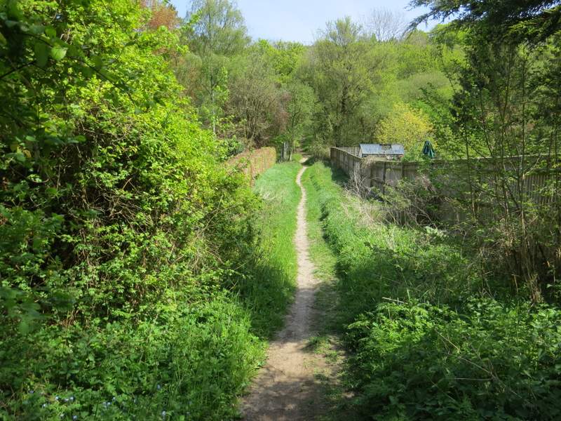
The start of the bridleway from Stonor
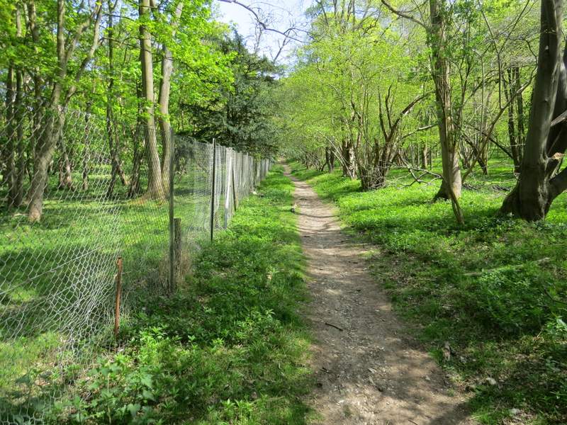
The bridleway from Stonor, alongside the fence round the deer park
The bridleway from Stonor, alongside the fence round the deer park
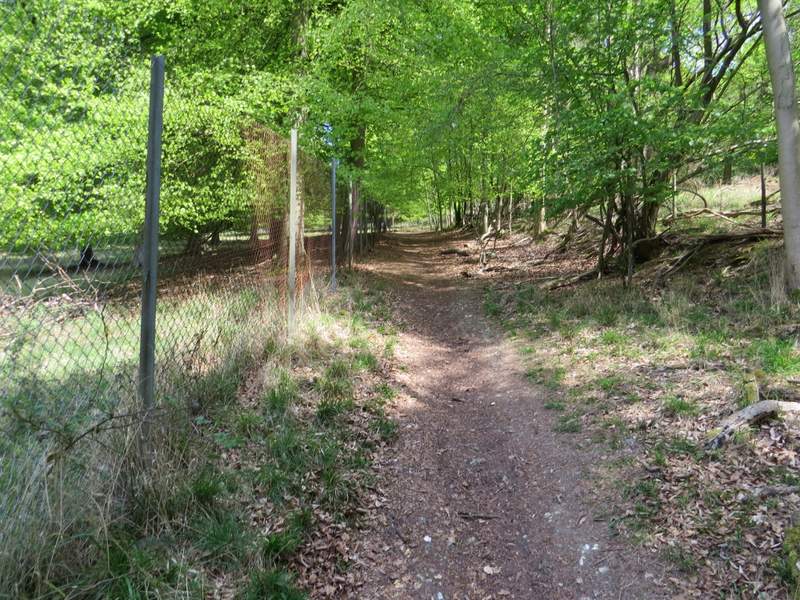
The bridleway from Stonor, alongside the fence round the deer park
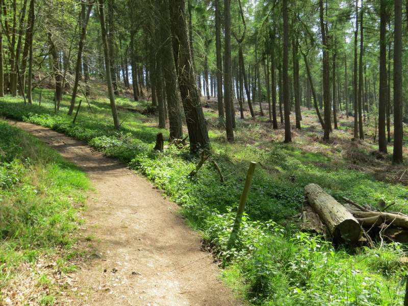
Nearing the top of the hill
The track to Coxlease Farm
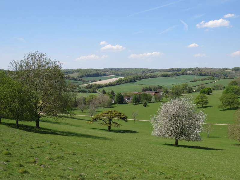
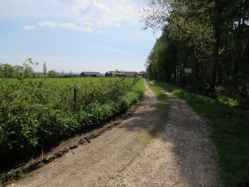
I went through the farmyard and turned right, immediately going through a pedestrian gate and continuing along a track with the farmhouse to my right. The farm track soon turned left, and now there were very far-reaching views ahead of me over the top of the Thames valley to Berkshire. Again this track is one of my favourite paths in the Chilterns, because of the views - soon there were nice views along the Stonor valley, downhill on my right. After a while the track had a hedge on the right and a slight embankment on the left.

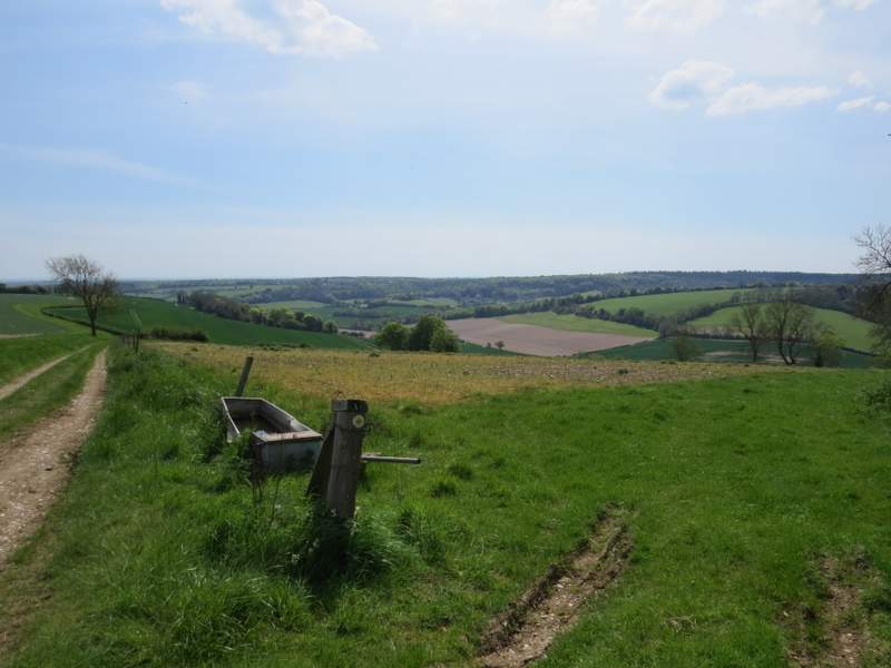
The track from Coxlease Farm (Berkshire, across the Thames, is in the distance)
The track from Coxlease Farm, looking over the Stonor valley
Another view over the Stonor valley, further along the track
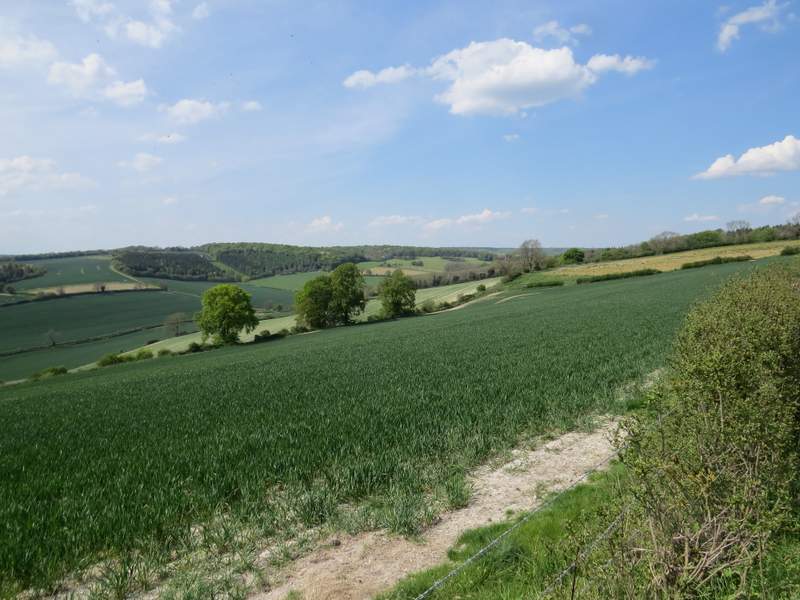
Looking back along the Stonor valley
The track from Coxlease Farm