Pete's Walks- Maidensgrove Common and College Wood (page 3 of 4)
If you are considering walking this route yourself, please see my disclaimer. You may also like to see these notes about the maps and GPX files.
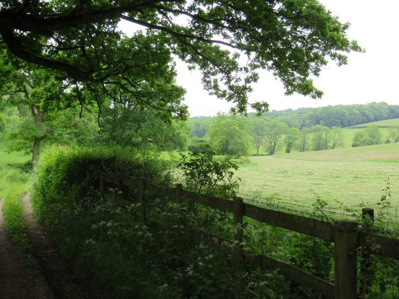
It was very pleasant walking through the common, though I was disappointed not to see any butterflies here on such a warm day. The sheer size of the common was impressive, it is certainly the largest area of continuous grassland I know of in the Chilterns - the far end of it is actually Maidensgrove Common, where I had parked my car. Eventually I reached a point where the trees and bushes on my right turned very sharply right and the path split into three - I took the middle path, going right, that took me to the left of a cottage and to the lane between Russell's Water and Maidensgrove (I'd hoped to join the lane earlier, but hadn't seen any path going through the trees and bushes). I turned right along the lane, soon passing the Five Horseshoes pub.
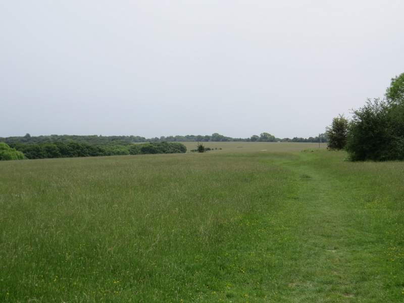
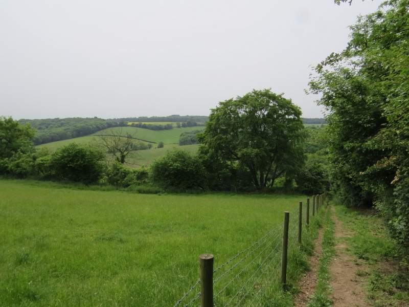
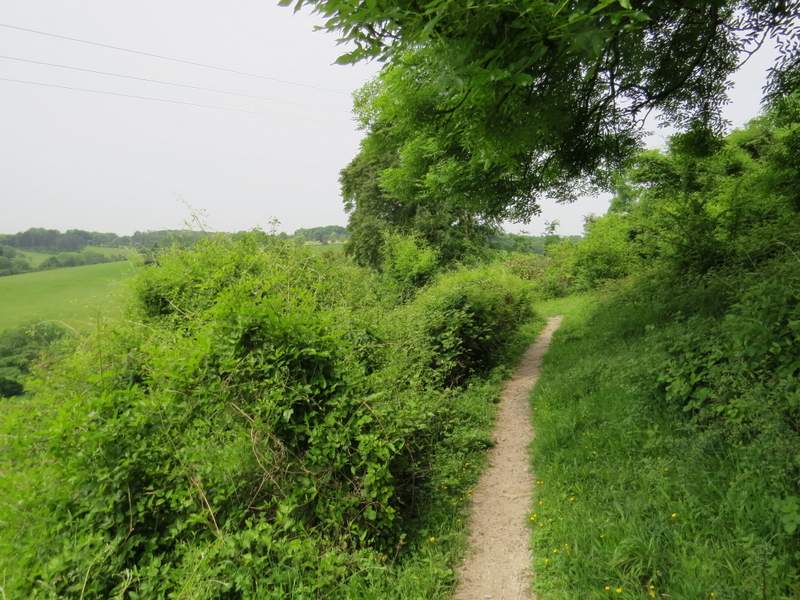
The path along the edge of Russell's Water Common
The path along the edge of Russell's Water Common
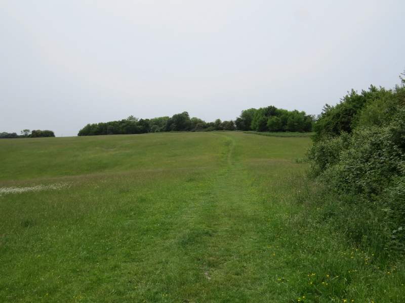
Approaching the lane beside Russell's Water Common

The lane between Maidensgrove and Russell's Water, approaching the Five Horseshoes
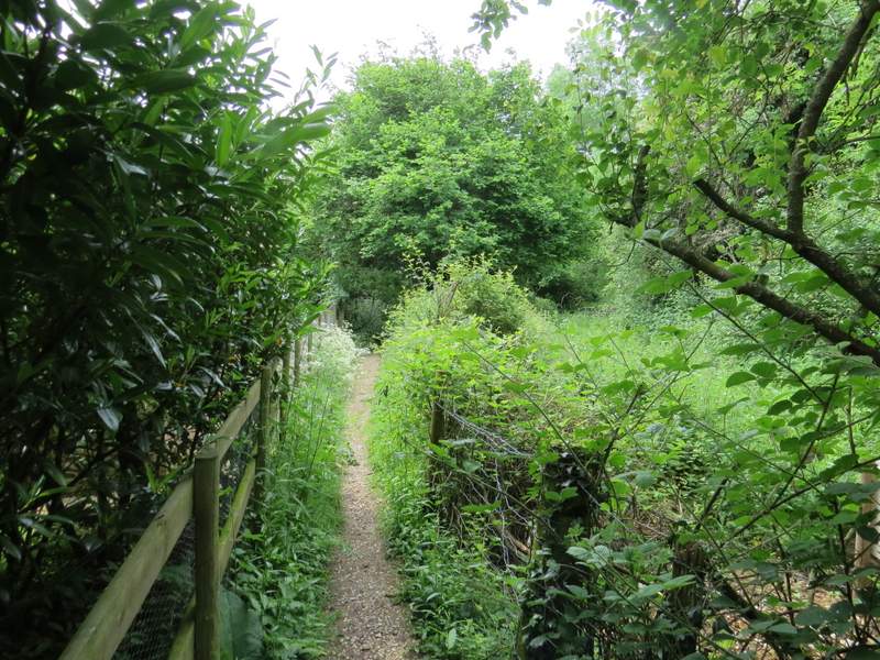
After passing a cottage on my right, I took a footpath on that side of the lane. The path ran beside the garden fence of the cottage, then continued between a fence and a hedge, with an empty pasture beyond the fence. It then dropped down some steps into an area of scrub on a very steep hillside. The path turned right here, staying level for a very short distance before turning left and dropping down the very steep slope, following a hedgerow on my right. By Chiltern standards this was very steep indeed, it reminded me of the steep path down the western side of Coombe Hill (which, coincidentally, I'd walk down a few days later). There were very pleasant views ahead over the valley, and looking along the steep scrub-covered hillside to my left. As I reached the bottom of the path, I spotted a Small Heath butterfly, one of only four or five butterflies I'd see on the whole walk.
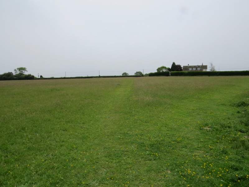
The start of the path going left from the lane
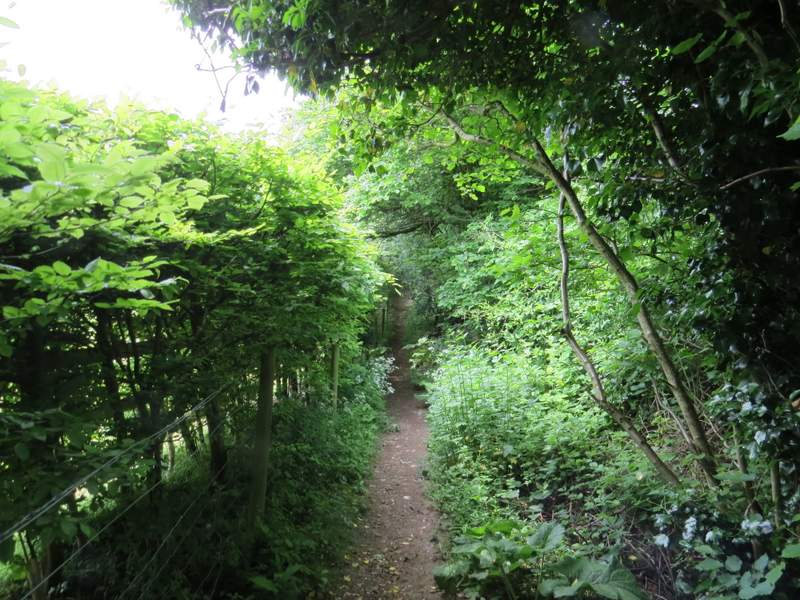
The path going left from the lane
The path starting to descend into the valley
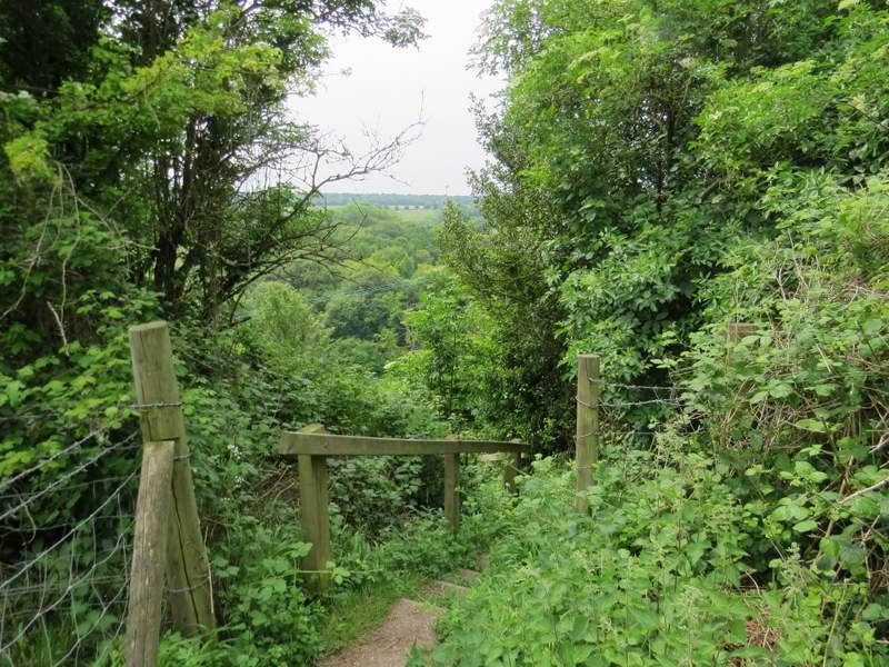
The start of the steps
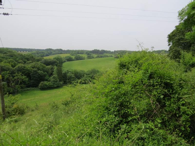
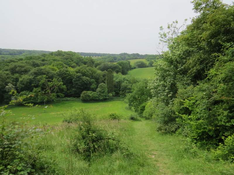
Looking across the valley
The short level section of the path
The start of the steep descent
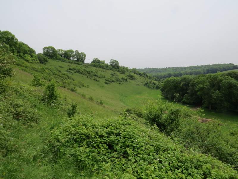
Looking left from the steep descent - this gives a better impression of how steep the path is
Looking back from the end of the path - it's longer and steeper than the camera makes it look, honestly! (And yes, I know, it's a poor workman who blames his tools ...)
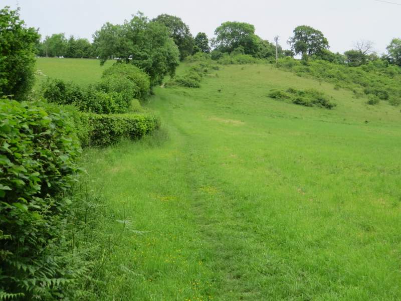
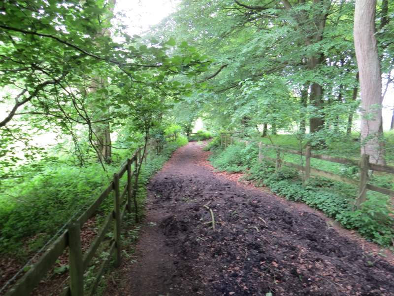
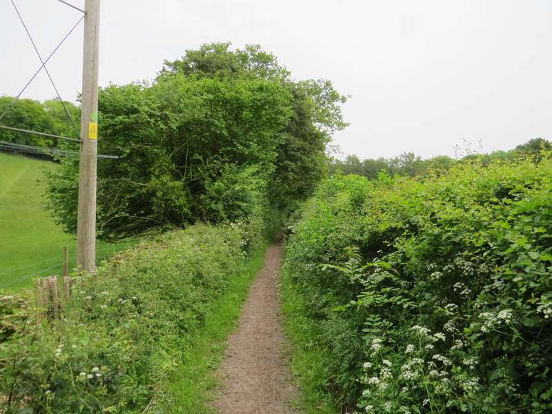
In the valley bottom the path ended when it reached a bridleway, where I turned left, rejoining the route I used last year. The bridleway here was surprisingly muddy in places as it passed the end of a bit of woodland on my right, but I remembered it being like this once before. The bridleway continued along the valley bottom until it came to a path junction where three valleys met - the bridleway ended here where it met a crossing 'public byway' and two footpaths also went off from the junction. I turned half-left along the byway, which ran between hedgerows as it approached the woods of the Warburg nature reserve.
The bridleway, after I turned left
The bridleway, after I turned left
The byway to Warburg nature reserve