Pete's Walks- Four Hills Walk (page 3 of 6)
If you are considering walking this route yourself, please see my disclaimer. You may also like to see these notes about the maps and GPX files.
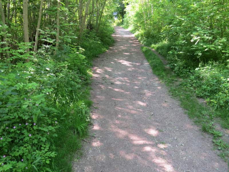
When I reached a corner of the nature reserve I turned left (if I'd stayed on the bridleway, I'd have turned left through a gate here). I was back on the Ridgeway again, and I followed it gently downhill through the nature reserve, with the wooded slopes of Whiteleaf Hill ahead of me. I kept right at a very narrow fork in the path, then took one of two paths going right (it didn't matter which one I took really) which soon led to a minor road. Here I went a few yards left, then forked right to reach The Plough at Cadsden public house. Immediately after the pub I turned right, then forked left through a gate after a few yards, still following the white acorn symbols of the Ridgeway. Almost immediately the path split and I took the right fork, and started the long climb up Whiteleaf Hill. I soon came to a path junction, where I took the path continuing uphill through the woods. I then kept plodding steadily uphill until I emerged onto the open grassy area at the top of Whiteleaf Hill.
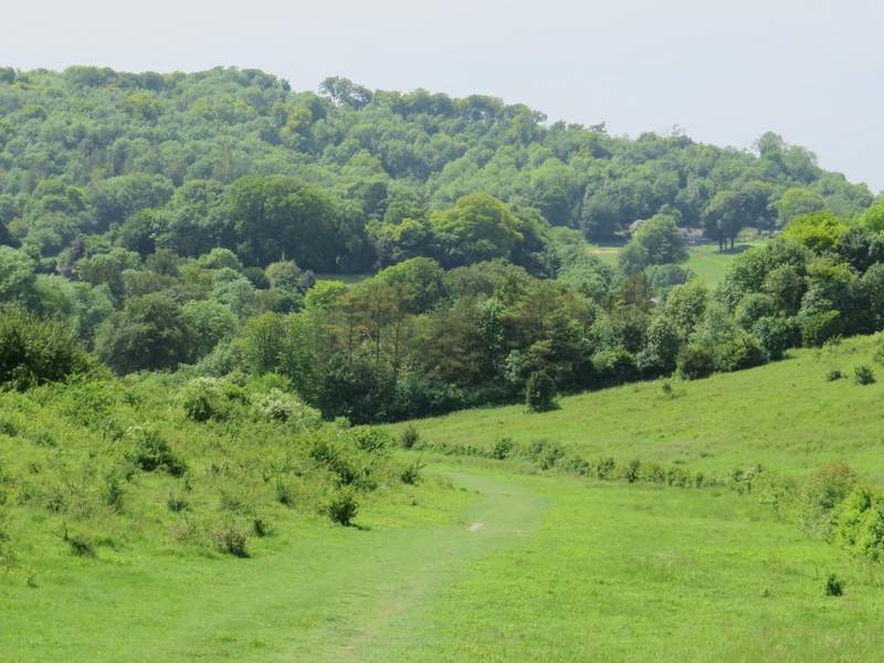
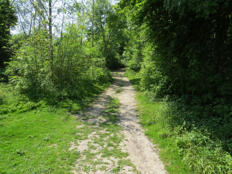
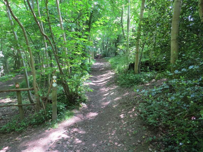
The Ridgeway, running through the Grangelands and Pulpit Hill nature reserve, looking towards Whiteleaf Hill
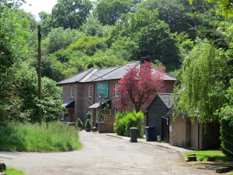
The Plough at Cadsden
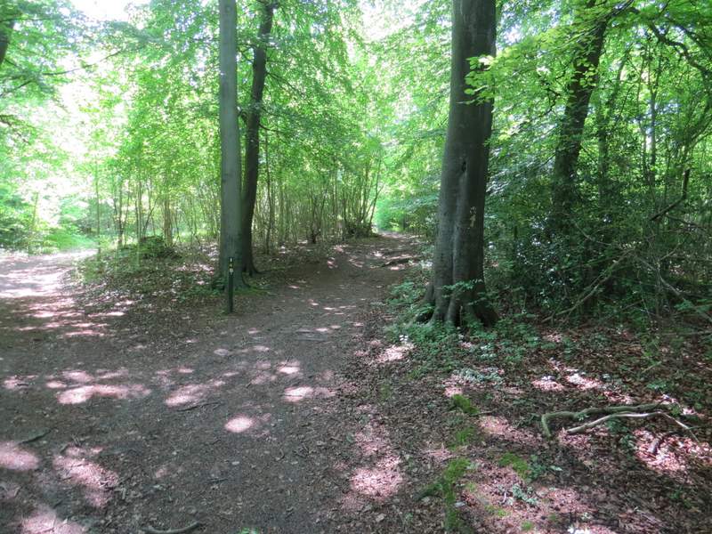
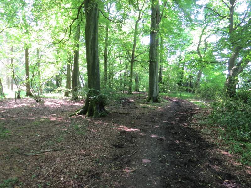
The Ridgeway (right fork) going up Whiteleaf Hill
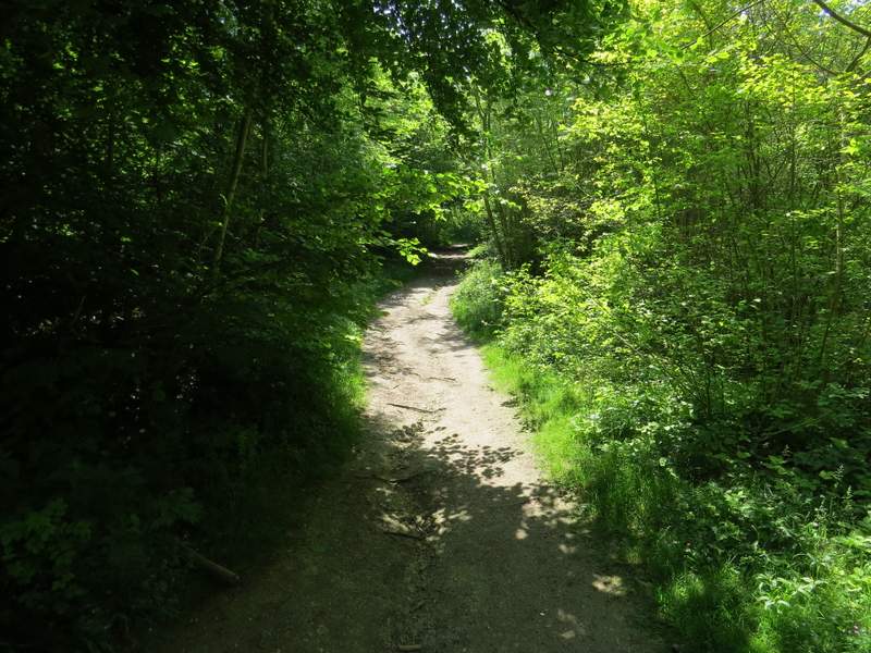
The Ridgeway going up Whiteleaf Hill
The Ridgeway going up Whiteleaf Hill
The Ridgeway going up Whiteleaf Hill
The Ridgeway going up Whiteleaf Hill
I took a couple of photos of the views, and one of the ancient burial mound here. I then continued along the Ridgeway, which went left along a track here. But after maybe just a couple of hundred yards I turned left onto a bridleway, which soon ran through a beech wood that sloped down to my left, with a large field just a few feet to my right I kept right at a narrow fork in the path, then when the field ended on my right, I turned right and followed a bridleway just inside the western edge of Sergeant's Wood, still with the same field to my right. When the bridleway left the wood, I turned left along another bridleway on the southern edge of the same wood. I spotted a Hare lying flat to the ground in the middle of the field on my right, and also saw a couple of Silver-ground Carpet moths. Further on I saw a Holly Blue butterfly - I'd already seen two or three of them this year, but this was the first one I'd been able to photograph.
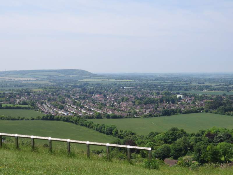
The view from Whiteleaf Hill, looking over Princes Risborough towards Bledlow Cop
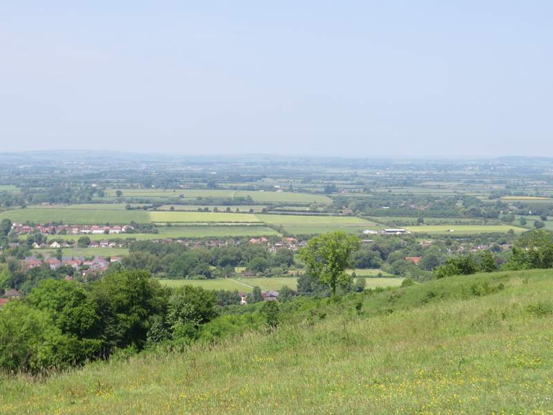
The view from Whiteleaf Hill, looking over Monks Risborough and the Vale of Aylesbury
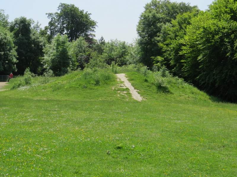
The Neolithic barrow on Whiteleaf Hill (the Ridgeway continues just to the left of the barrow)
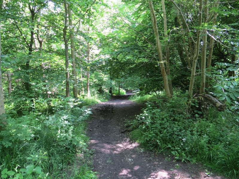
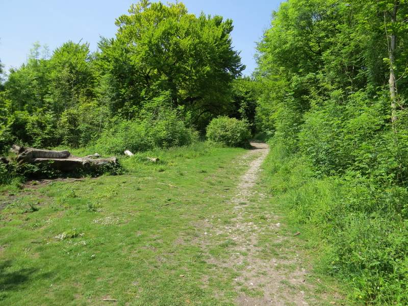
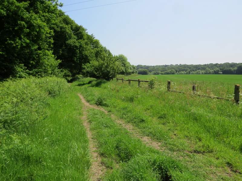
The bridleway going east from Whiteleaf Hill
The bridleway going east from Whiteleaf Hill
The bridleway going east from Whiteleaf Hill (this is where I took the right fork)
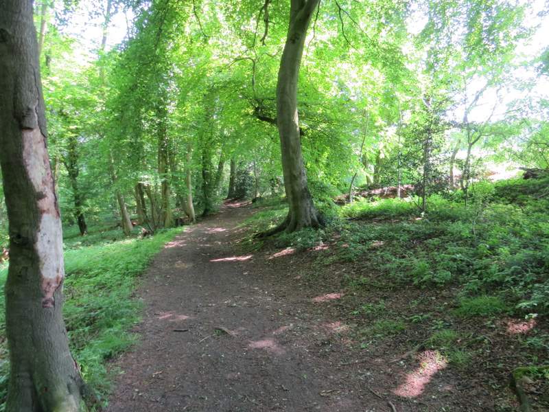
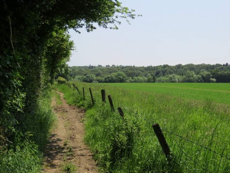
The bridleway on the western edge of Sergeant's Wood
The bridleway on the southern edge of Sergeant's Wood
The bridleway on the southern edge of Sergeant's Wood
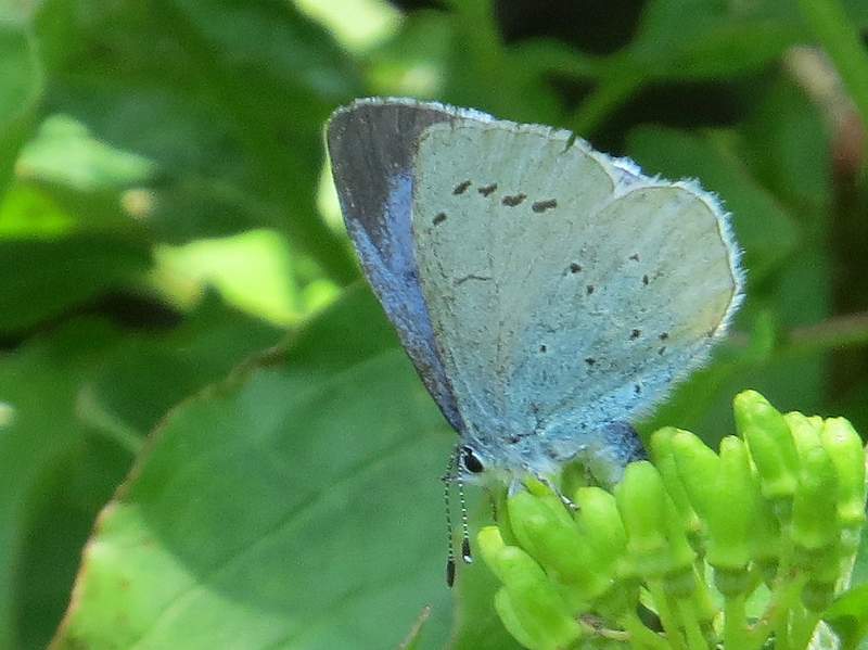
Holly Blue (seen along the bridleway on the southern edge of Sergeant's Wood)