Pete's Walks- Four Hills Walk (page 6 of 6)
If you are considering walking this route yourself, please see my disclaimer. You may also like to see these notes about the maps and GPX files.
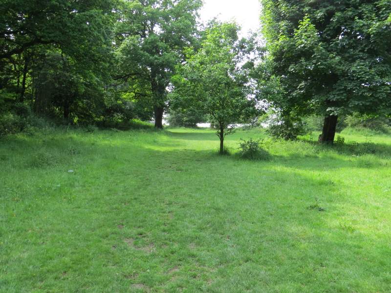
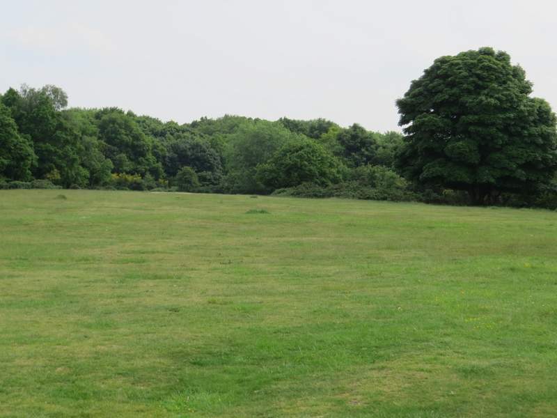
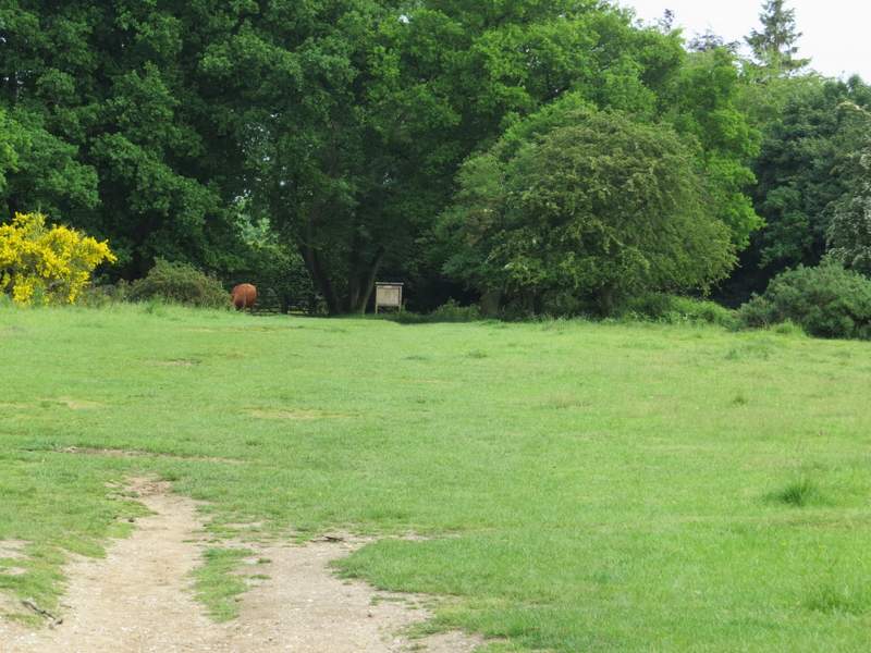
Here I turned left for a short distance along a bridleway, then took a footpath going half-right and uphill across a grassy meadow or pasture. I had to cross a couple of stiles as I moved between three such fields, rising up a hillside above Dunsmore Old Farm. When I reached the far corner in the third field, I turned right along the lane that runs through the hamlet of Dunsmore. I soon came to a duck pond on my right, and then turned left along a short lane through the northern part of the hamlet.
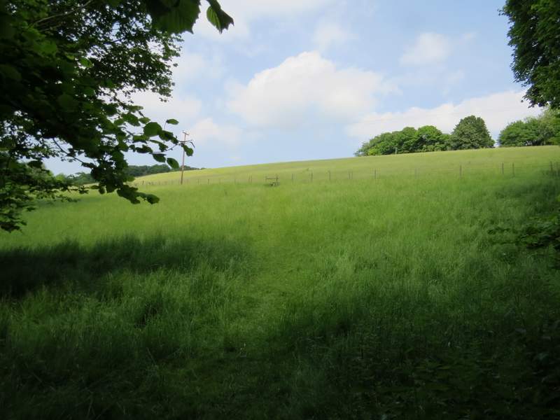
The start of the path up through the meadows to Dunsmore
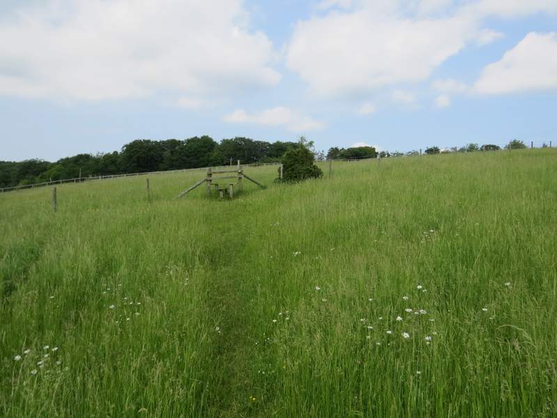
The path up through the meadows to Dunsmore
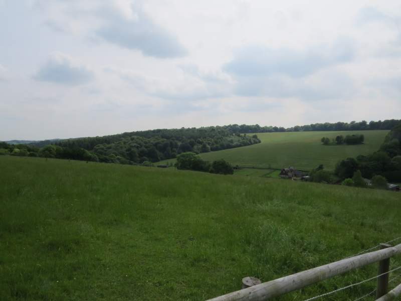
Looking back in the direction of Little Hampden
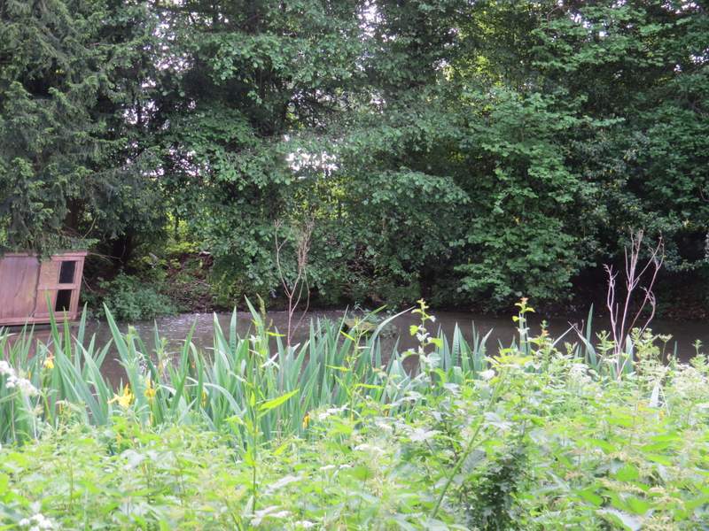
The pond at Dunsmore
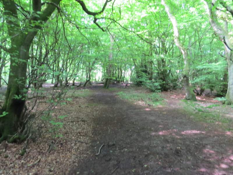
On reaching the edge of the hamlet, I turned left onto a footpath through a wood called High Scrubs (normally I just go straight on along a bridleway that goes straight to Coombe Hill). After about a third of a mile the path turned right and brought me back to the bridleway that I usually follow.
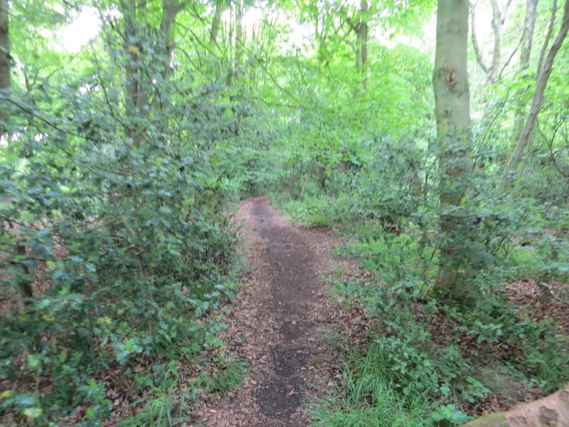
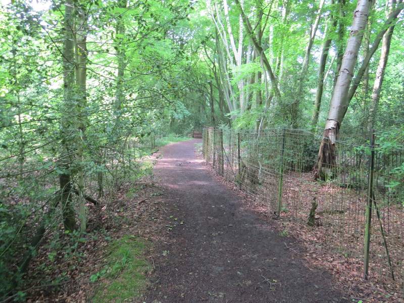
The start of the path through High Scrubs
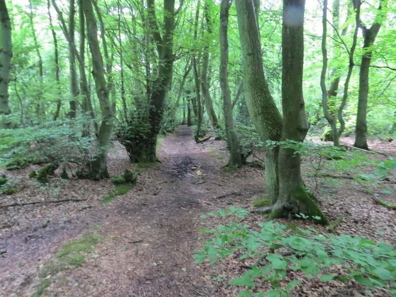
The path through High Scrubs
The path through High Scrubs
The path through High Scrubs
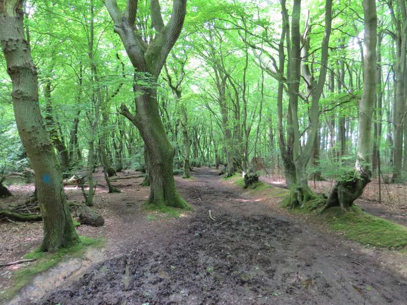
I turned left along the bridleway to Coombe Hill, but after passing the start of a bridleway on my left, I then turned left at the next path junction, onto a footpath through Low Scrubs wood. This soon bought me to a path T-junction, where I went right. After about half a mile I reached a junction with a wide bridleway coming in sharply from my left (from the Coombe Hill car park).
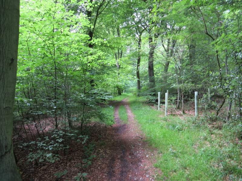
The bridleway from Dunsmore to Coombe Hill
The bridleway from Dunsmore to Coombe Hill
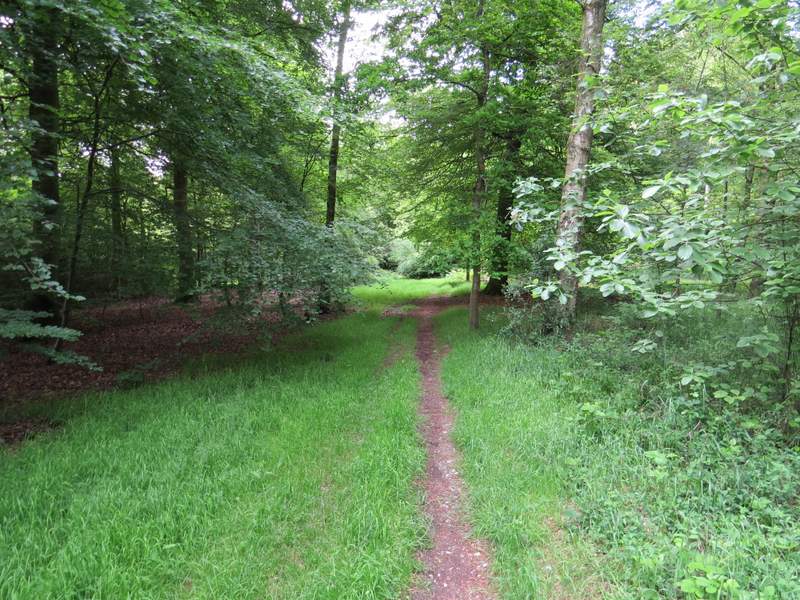
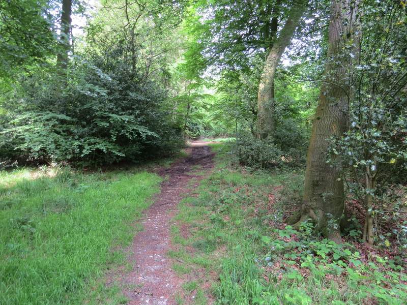
The path through Low Scrubs
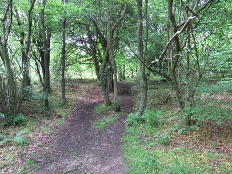
The path through Low Scrubs after I turned right
The path through Low Scrubs
I crossed over the bridleway, and looked for a metal kissing-gate on the other side, which led out of the woods into an area of grass and bushes. I followed the edge of the woods on my left a short way, then continued ahead on a surfaced track that took me to the monument on Coombe Hill (a memorial to the men of Buckinghamshire who died in the Boer War). After taking a couple of photographs, I turned left along a broad strip of grass with trees and bushes either side. At its end the path went slightly left through a few trees, then crossed a small area of grass and bushes to return to the Coombe Hill car park.
The path to the monument on Coombe Hill
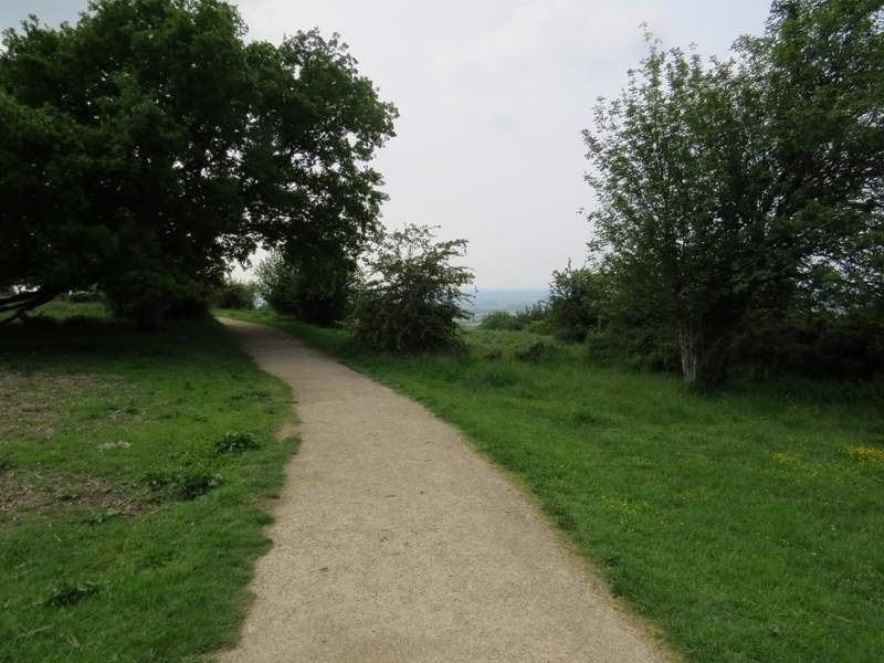
The path to the monument on Coombe Hill
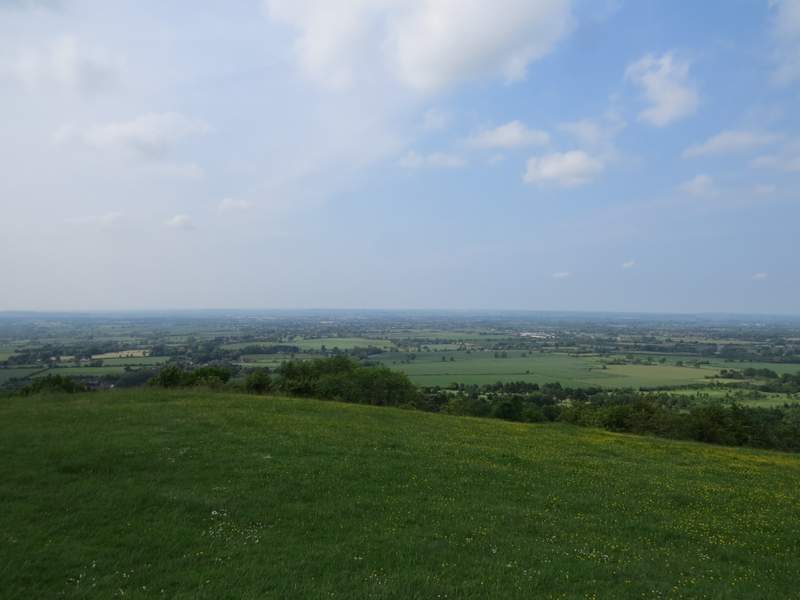
The Vale of Aylesbury, from the monument on Coombe Hill
The path back to the car park Coombe Hill
Approaching the car park on Coombe Hill
It's been a long time since I did this walk, and I'd been looking forward to doing it again. It didn't disappoint, I really enjoyed it and I'm sure I'll do it yet again in the future. The 'Four Hills' all come quite close to the start of the walk, but there are enough ups and downs after that to keep it interesting. There's a lot of woodland walking, but also a lot on scrubland or downland, as well as a few field paths. There are lots of good views, and Hampden House, the Pulpit Hill hill fort and the Neolithic barrow on Whiteleaf Hill add some historic interest too.