Pete's Walks- Alternative Ashridge walk (page 3 of 6)
If you are considering walking this route yourself, please see my disclaimer. You may also like to see these notes about the maps and GPX files.
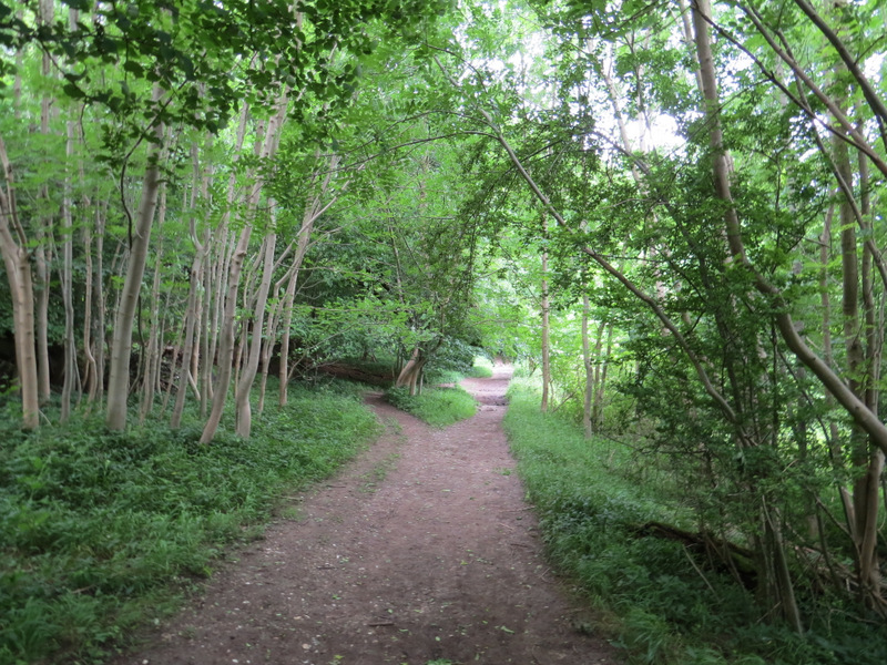
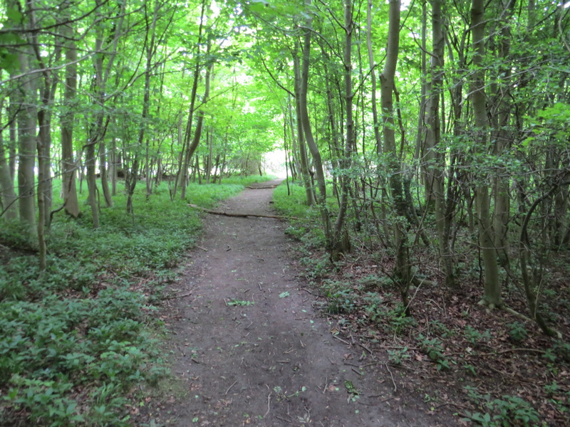
I went straight on at the top of the Pitstone Hill, the path starting to descend and turning left - I was now on part of an ancient earthwork called Grim's Ditch. There was a brief shower here (unusually I'd gone for a walk despite showers being forecast for much of the day) and I stopped to put on my lightweight coat, which I'd keep on for the rest of the walk. After a while I entered the woods of Aldbury Nowers, and continued through the woods for over half a mile. Just after passing through an open area, part of the Aldbury Nowers nature reserve, the path went down a flight of 'steps' to reach a path T-junction. Here I left the Ridgeway by turning left, and then after a few yards I took a path forking half-right through the wood.
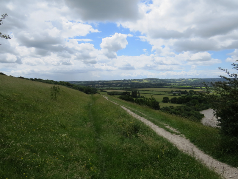
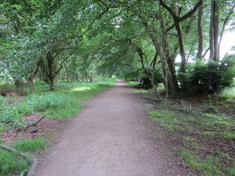
The path along Grim's Ditch
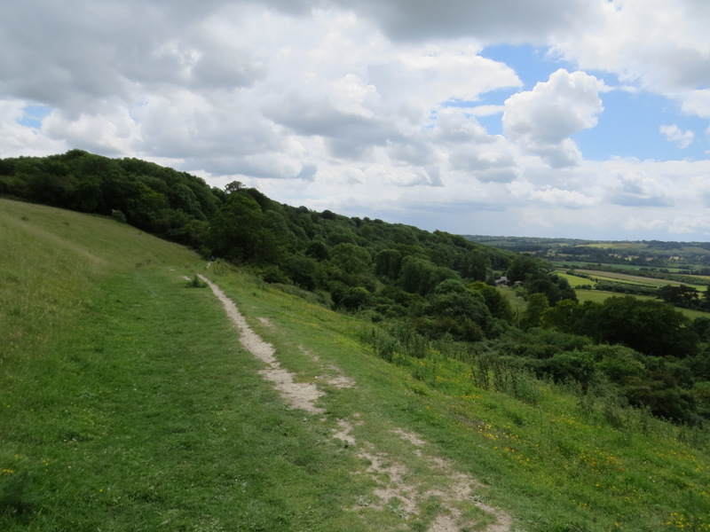
The path along Grim's Ditch, approaching the woods of Aldbury Nowers
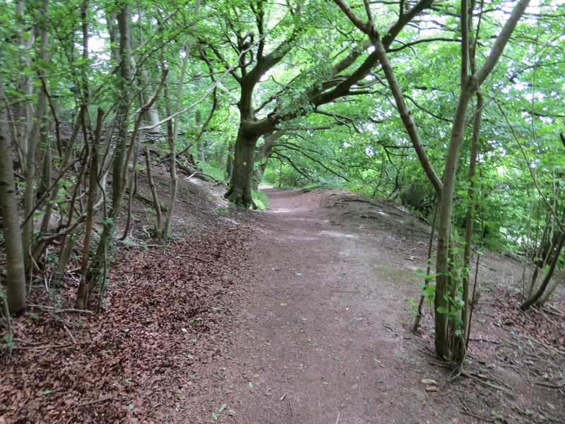
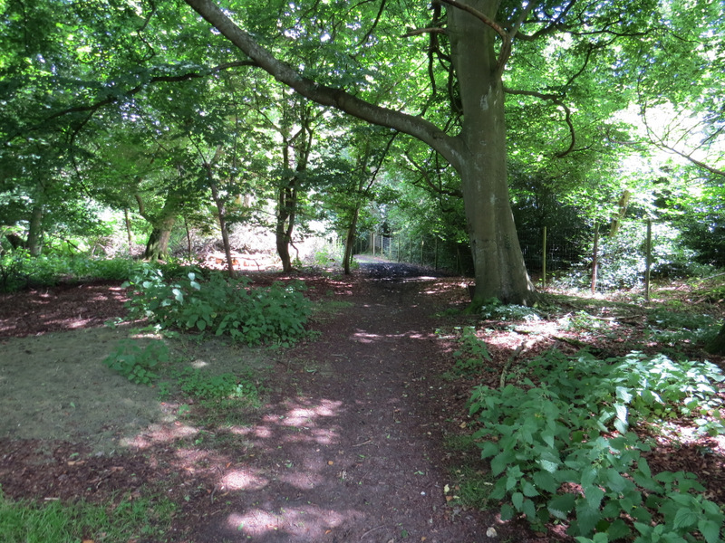
Aldbury Nowers
Aldbury Nowers
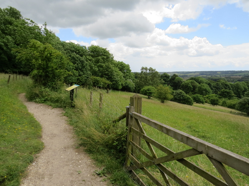
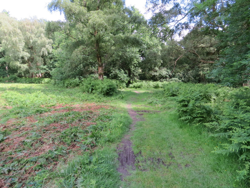
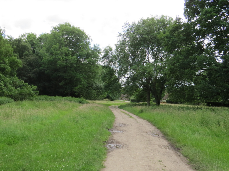
Aldbury Nowers, passing by the nature reserve
The path to the golf course at aAdbury
Beyond the woods the path continued through a golf course, initially beside trees and bushes (possibly an old hedge) on my left. On the other side of the golf course I went straight on where a bridleway crossed the path - there was now a very heavy shower as I followed the path towards Aldbury. It went through a couple of kissing-gates, then through another one into a cattle pasture (this used to be a paddock). It stayed close to the farm or stable buildings on my right and went through a couple more gates to reach a minor road on the edge of Aldbury.
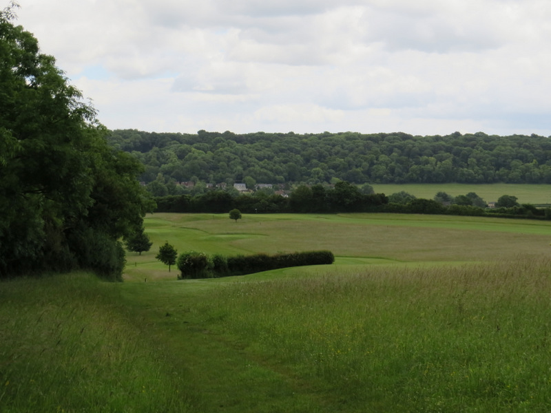
The path continuing across the golf course
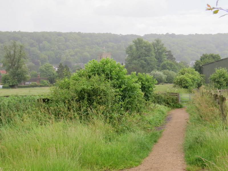
The path approaching Aldbury (there was a very heavy shower here)
I turned left to reach the centre of the village, with its pond and old stocks, where I turned right at a road junction. After two or three hundred yards I took a footpath on the left (starting immediately before a house with its gable end on the road) which took me to the village allotments. I went through a gate on the far side and immediately turned right, following this path between hedges and fences to another village street. Here I turned left, uphill, and when the street turned left I went straight on along a path that continued uphill through trees to reach a road junction at a hairpin bend. Here I took the lane starting at the bend, which took me through the woods towards the hamlet of Tom's Hill.
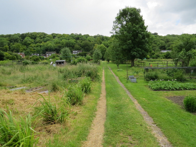
The allotments in Aldbury
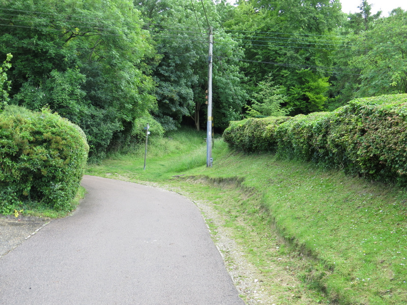
In Aldbury, approaching the start of the path up to Tom's Hill
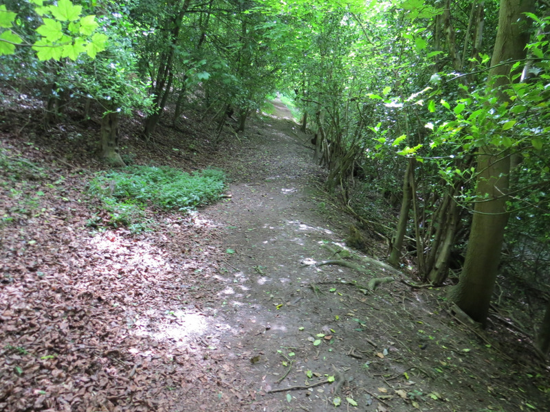
The path up to Tom's Hill
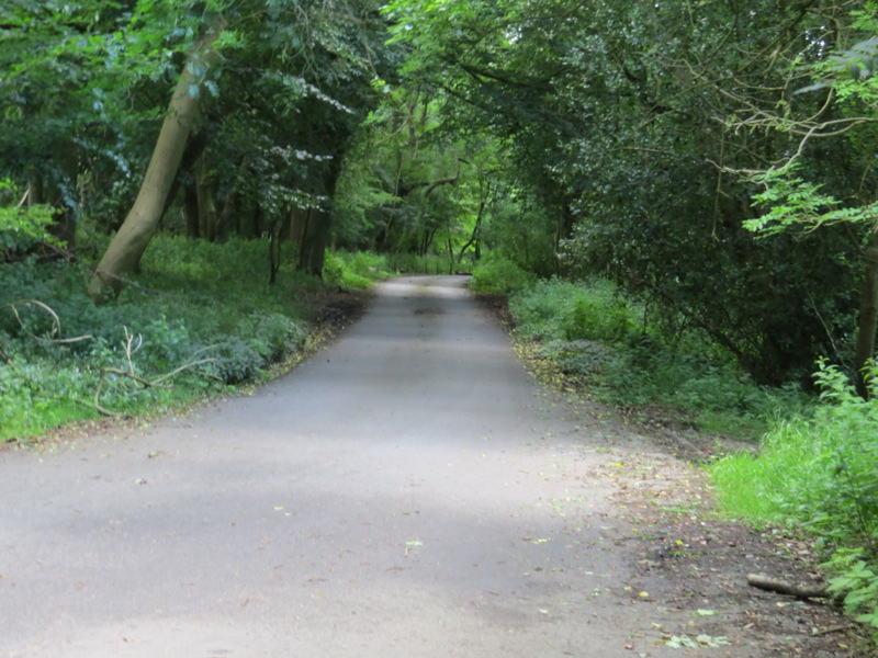
The lane into Tom's Hill
As I reached Tom's Hill, I turned left onto a footpath (part of the Hertfordshire Way). The next part of the route through the woods is a little difficult to describe, but basically I went right at each path junction I came to, trying to stay as close as possible to the edge of the woods on my right. After a while I joined a surfaced bridleway, which eventually brought me to the hamlet of Norcott Hill.
The start of the path from Tom's Hill
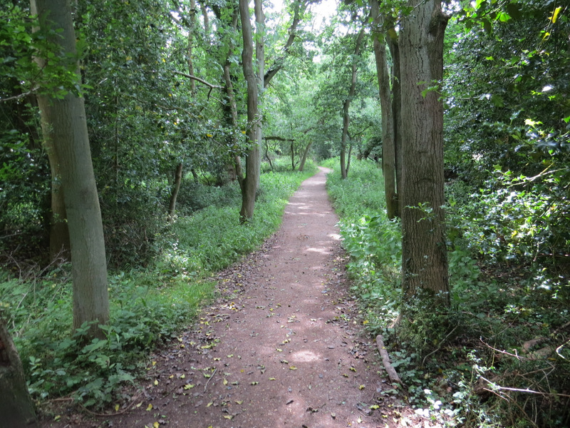
Path between Tom's Hill and Norcott Hill
Bridleway between Tom's Hill and Norcott Hill
Bridleway between Tom's Hill and Norcott Hill
Approaching the hamlet of Norcott Hill