Pete's Walks- Alternative Ashridge walk (page 5 of 6)
If you are considering walking this route yourself, please see my disclaimer. You may also like to see these notes about the maps and GPX files.
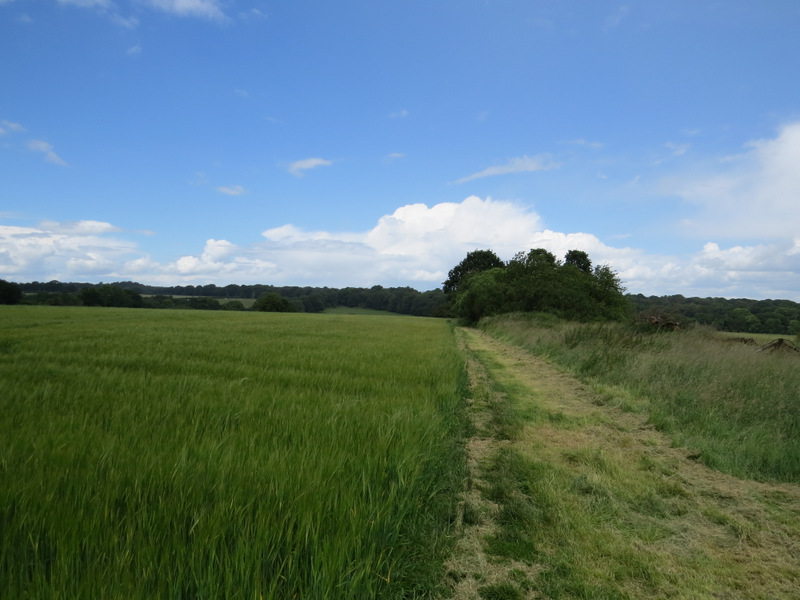
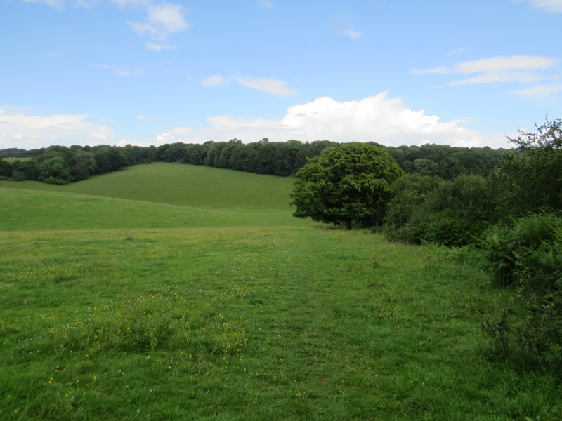
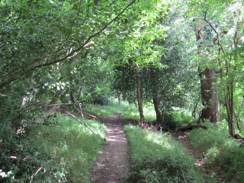
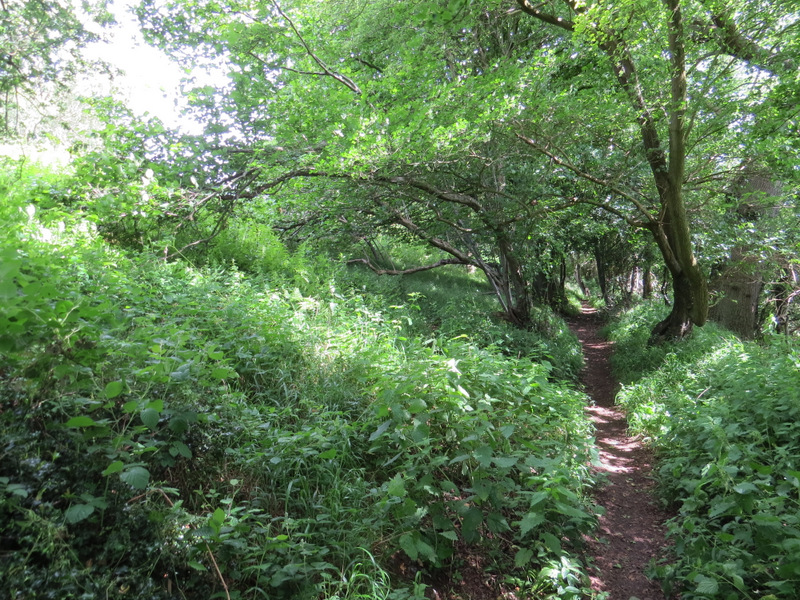
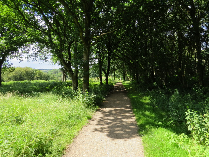
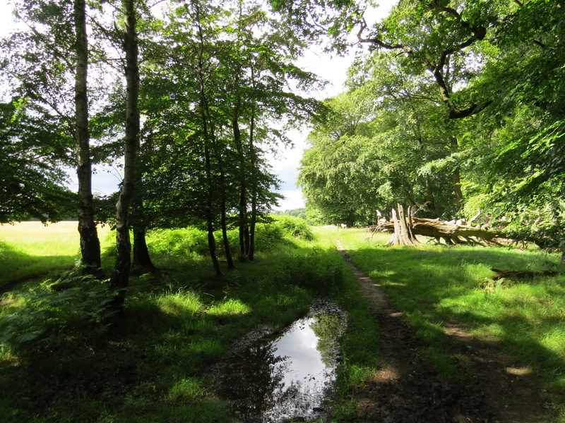
The path continued following the hedge on my right through the next field as well, a corn field. I looked for and successfully spotted some Field Pansies here as I remembered seeing them here before. The path then carried on beside the hedgerow through a huge meadow that dropped down into a valley and part way up the opposite slope - I saw another three Fallow Deer on the far side of the meadow to my left. It was a short but steep climb up the other side of the valley, then on entering the wood I turned right. There was then a very pleasant section for about a mile, following this path just inside the edge of Berkhamsted Common with fields close by on my right. I went straight on where another path crossed - this continuation of the path is not shown on the OS map, but it is an Open Access area anyway.
Further along the same path
Further along the same path. approaching the woods of Berkhamsted Common
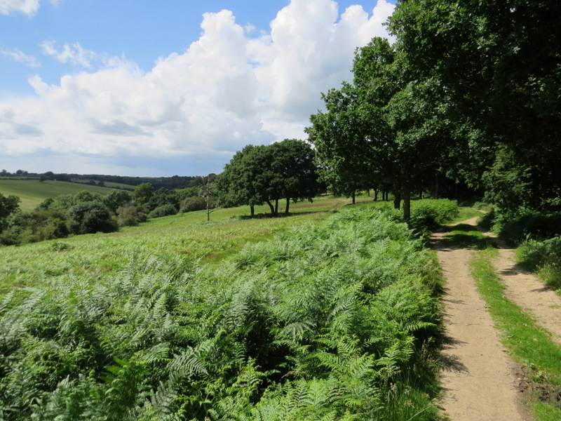
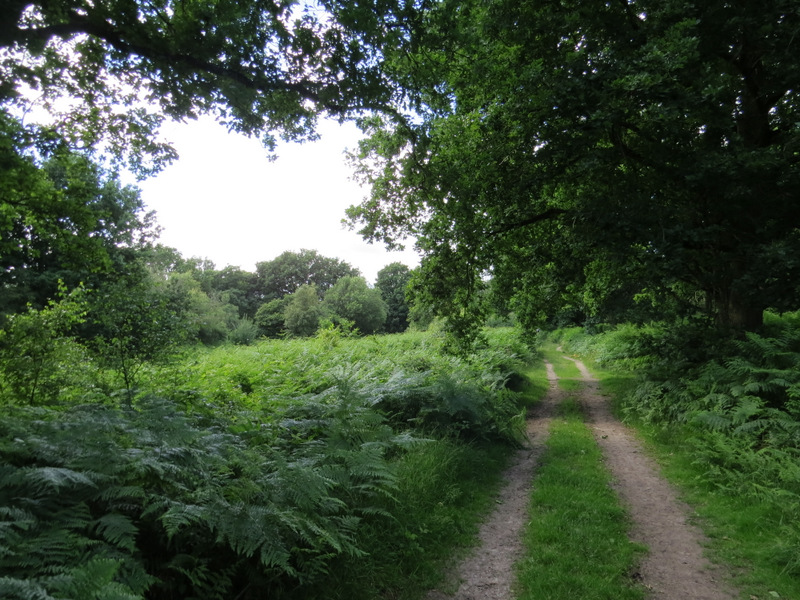
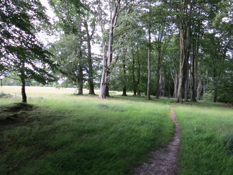
The path along the southwest side of Berkhamsted Common
The path along the southwest side of Berkhamsted Common
The path along the southwest side of Berkhamsted Common
The path along the southwest side of Berkhamsted Common
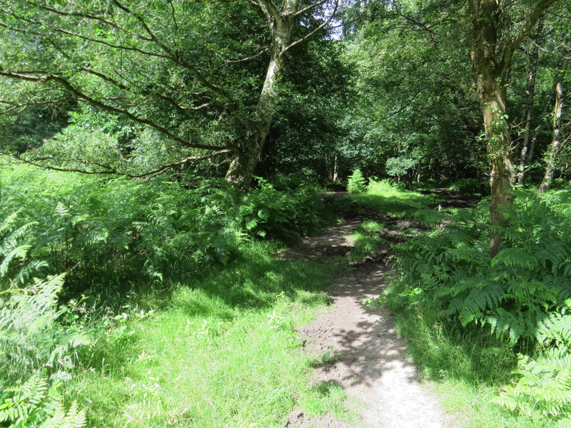
Eventually I reached a bridleway where I turned left - I was pleased that it had been resurfaced sometime fairly recently, as it used to be almost impassably muddy at times. After a few yards a fingerpost pointing left indicated the presence of some WWI practice trenches (see here and here for info) - I was starting to feel tired and decided to leave looking at them to another day (but I'm kicking myself now as the day before was the 100th anniversary of the start of the Battle of the Somme so this would have been a very fitting time to see them). The bridleway went uphill through trees, and ended at a bridleway T-junction almost next to a road on my right. I turned left and followed the bridleway through part of Berkhamstead Golf Course. Further on, the bridleway followed track with an area of bracken and grass sloping down to my left.
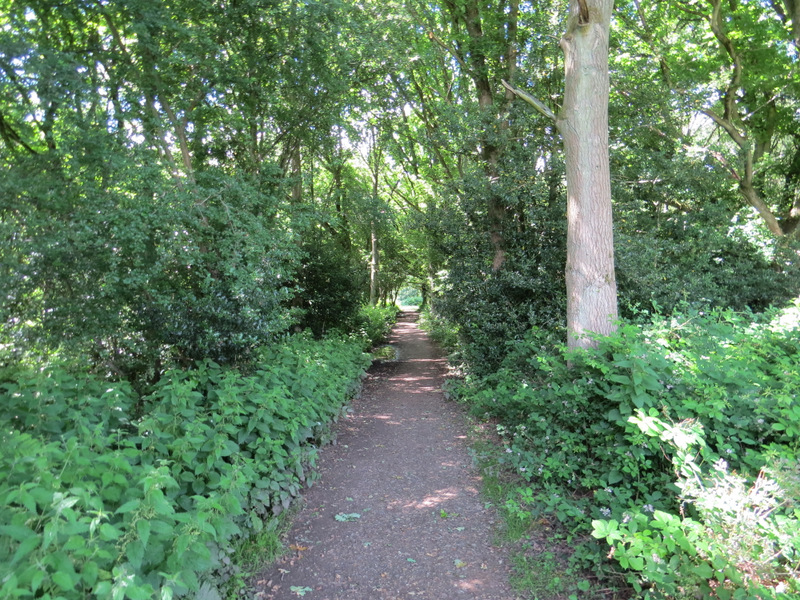
The bridleway after I turned left
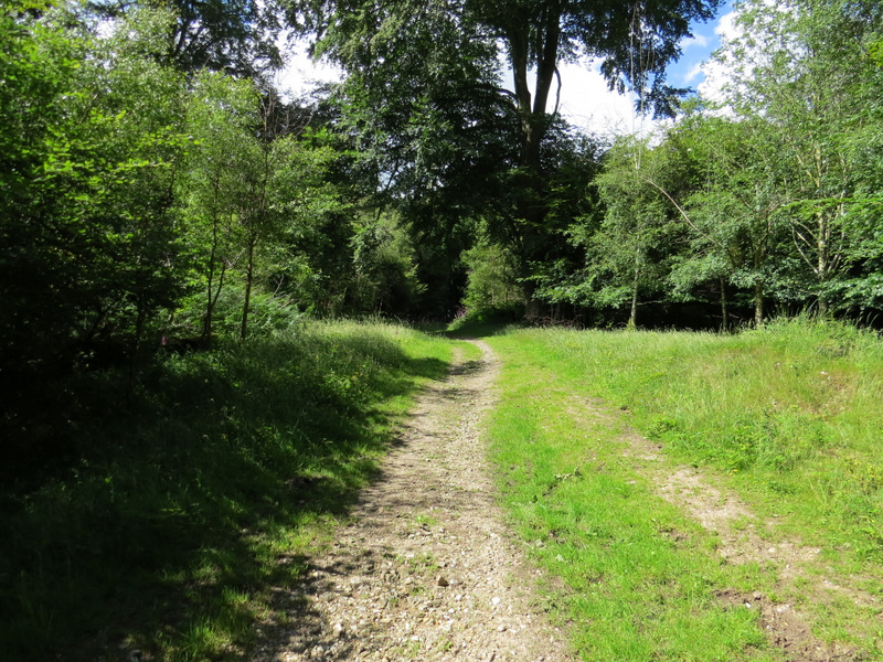
The bridleway from Berkhamsted Golf Course
The bridleway from Berkhamsted Golf Course
The bridleway from Berkhamsted Golf Course
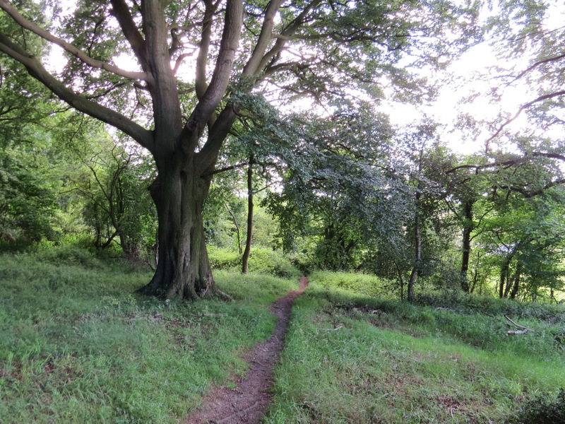
After following the bridleway for about three-quarters of a mile I turned right at a bridleway crossroads. After a very short distance I went straight on at another bridleway crossroads, and continued on along the bridleway as it headed to and passed through an area marked Frithsden Beeches on the OS map. When the bridleway reached a huge open area of grass on the left (a meadow or common), it went slightly right to continue through a fine stand of beech trees. When I reached a surfaced track, I continued along the edge of huge grass area, and continued along it when the bridleway went slightly right through trees. I followed the edge of the grass area when it turned a corner, and continued until I was level with a copse in the middle of the grass to my left, when I turned right on a path into the tees.
The bridleway to Frithsden Beeches
The bridleway to Frithsden Beeches
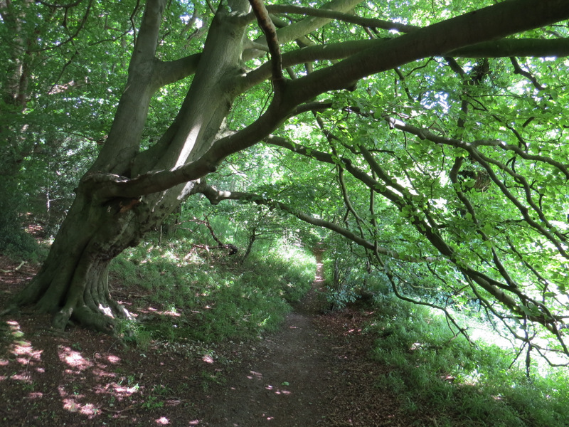
Frithsden Beeches
Frithsden Beeches
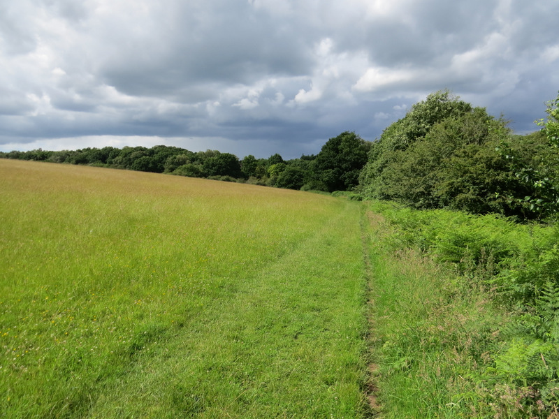
The path round the edge of the huge meadow or common